Gravel route from Passirana to Cantalupo
Eine gravel-Radroute, die von Passirana aus startet.
Entdecken Sie die ländliche Schönheit von Pogliano Milanese bis Cantalupo
Karte
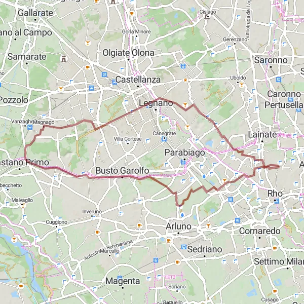
Diese 54 km lange Schotterroute führt Sie durch malerische Dörfer wie Arconate und Cantalupo. Genießen Sie die ruhige Natur und die atemberaubende Landschaft auf diesem abwechslungsreichen Weg.
gravel
54 km
63 m
Schwierig
Streckenprofil
Höhepunkte auf der Strecke
0 km
0 km
Start: Passirana Village centerPassirana: Ruhige Straßen in Passirana
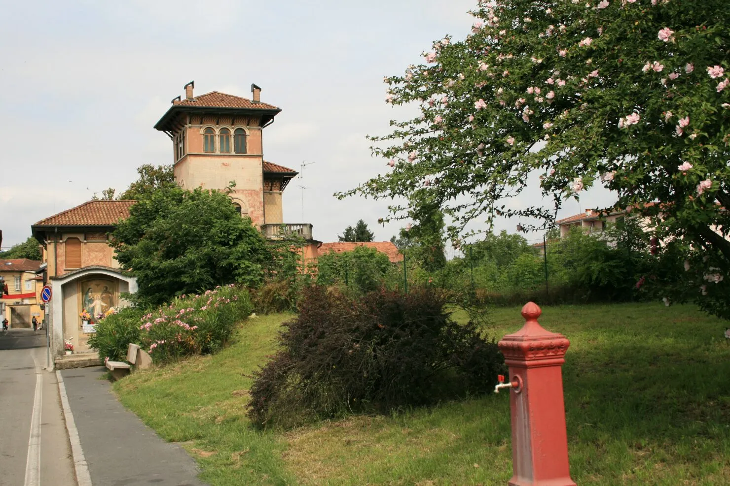
Passirana ist eine kleine Gemeinde in der lombardischen Region, die ruhige Straßen und landschaftlich reizvolle Radwege bietet. Es gibt keine bekannten berühmten Anstiege in der Nähe, aber die entspannte Atmosphäre macht sie zu einem attraktiven Ort für Radfahrer.5 km
5 km
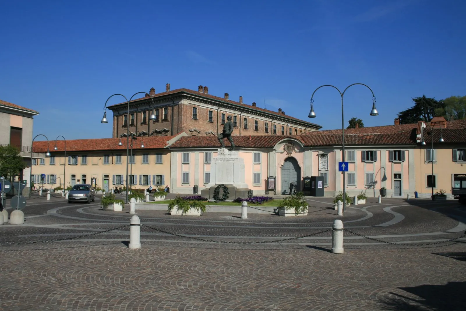
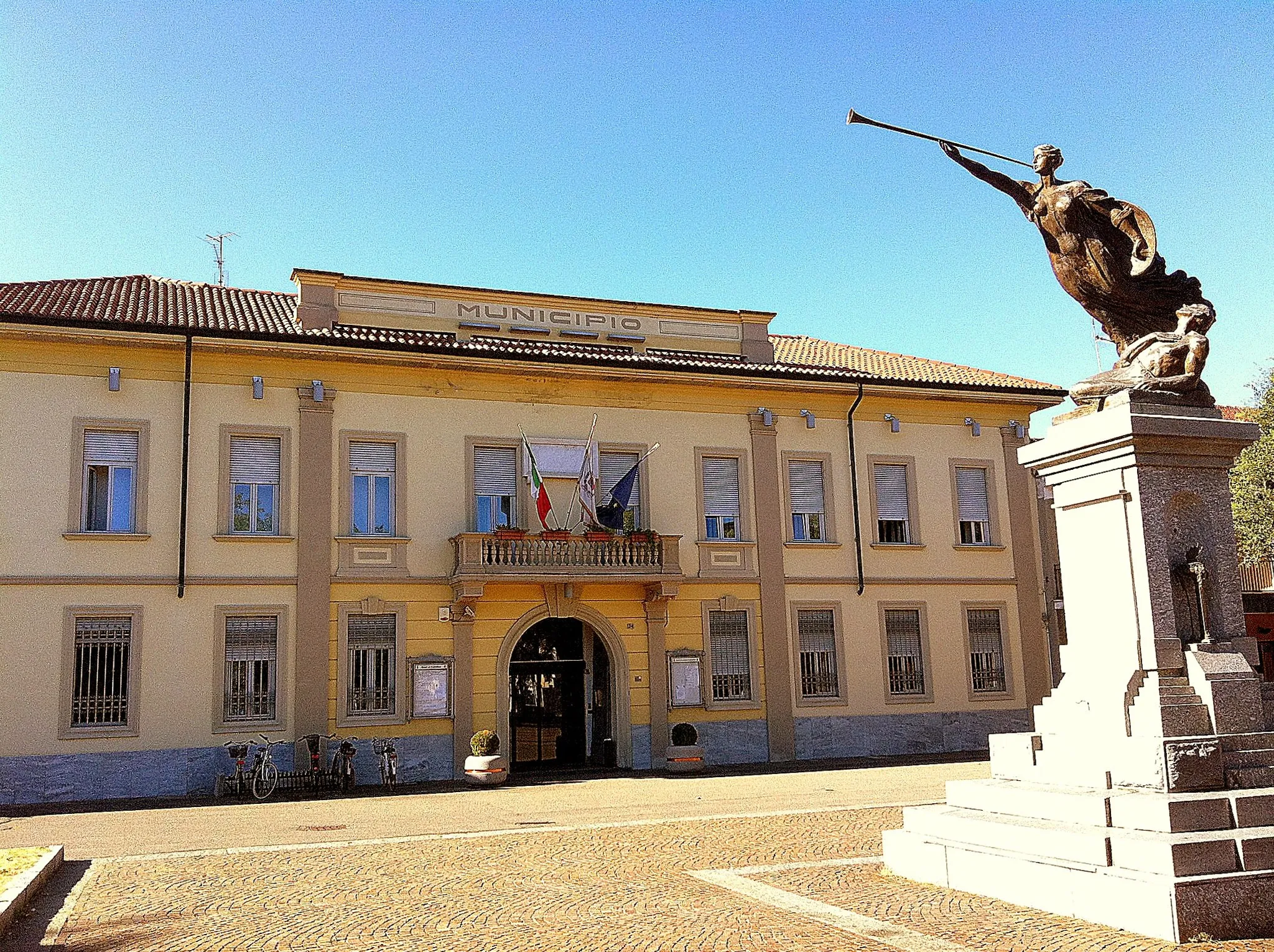
Pogliano MilaneseDorfFahren Sie durch die charmanten Straßen von Pogliano Milanese.
20 km
20 km
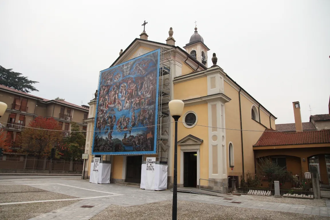
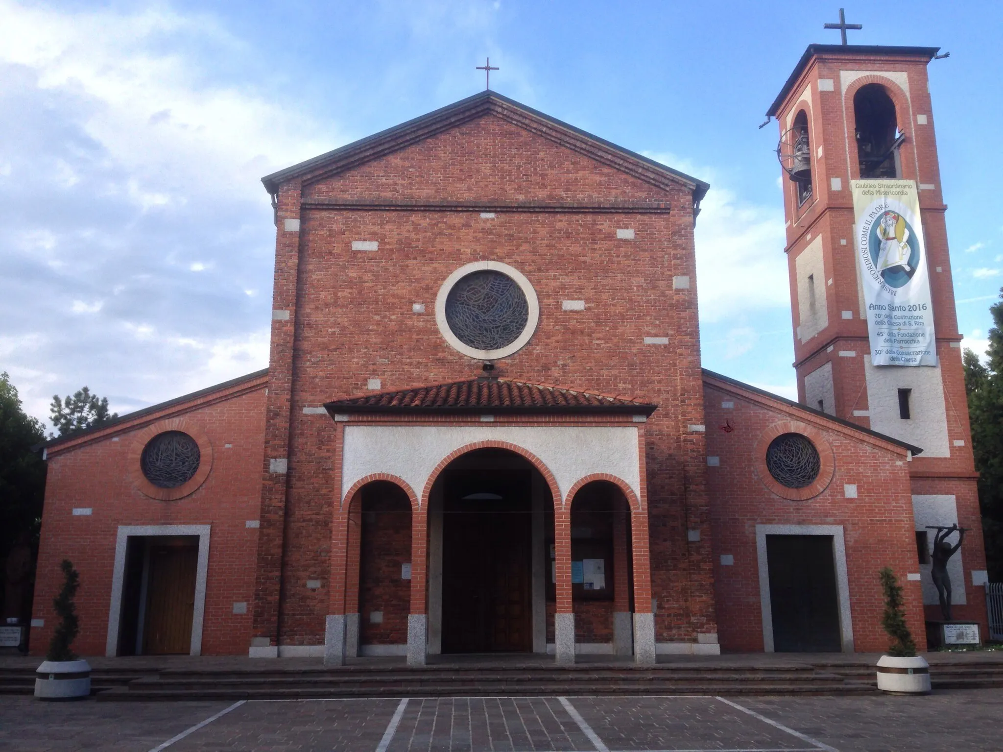
ArconateDorfErkunden Sie die historische Stadt Arconate auf Ihrem Weg.
46 km
46 km
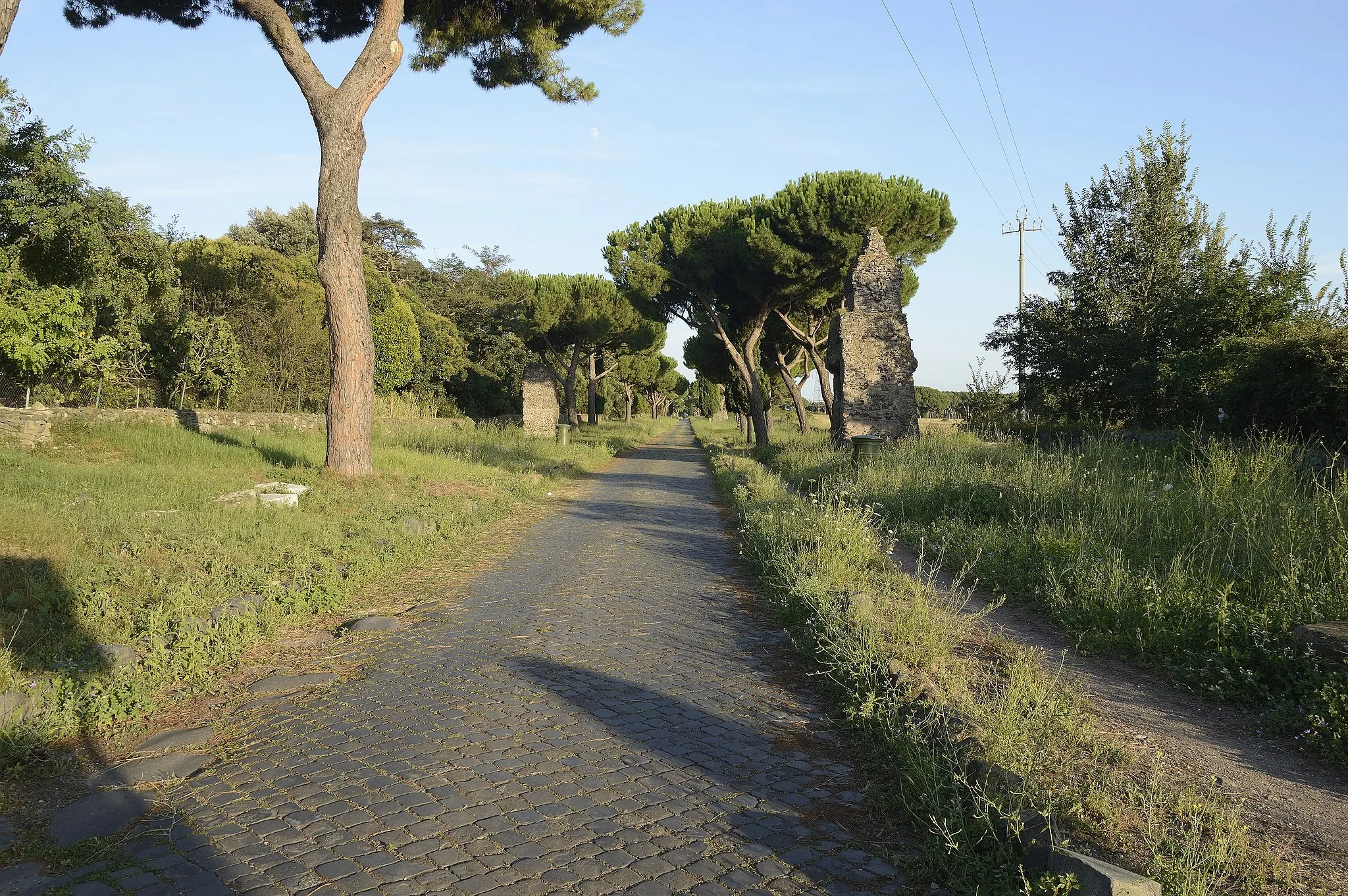
CantalupoDorfGenießen Sie die grünen Hügel von Cantalupo während Ihrer Fahrt.
54 km
54 km
Ziel: Passirana Village centerPassirana: Ruhige Straßen in Passirana
Radwege von Passirana:
Historische Route durch Passirana und Umgebung Gravel route from Passirana to Cantalupo via Vizzola Ticino and Gallarate Road route from Passirana to Villa Visconti Banfi via Moirago and Gaggiano Gravelabenteuer um Passirana Gravel route from Passirana to Cantalupo Abenteuerliche Tour entlang der Weinberge Road route from Passirana to Lainate Entdeckung der Natur um Passirana Kulturelle Entdeckungsreise entlang des Flusses Road route from Passirana to Cantalupo via Sant'Agabio and San Macario
In der Nähe befinden sich Fahrradrouten: