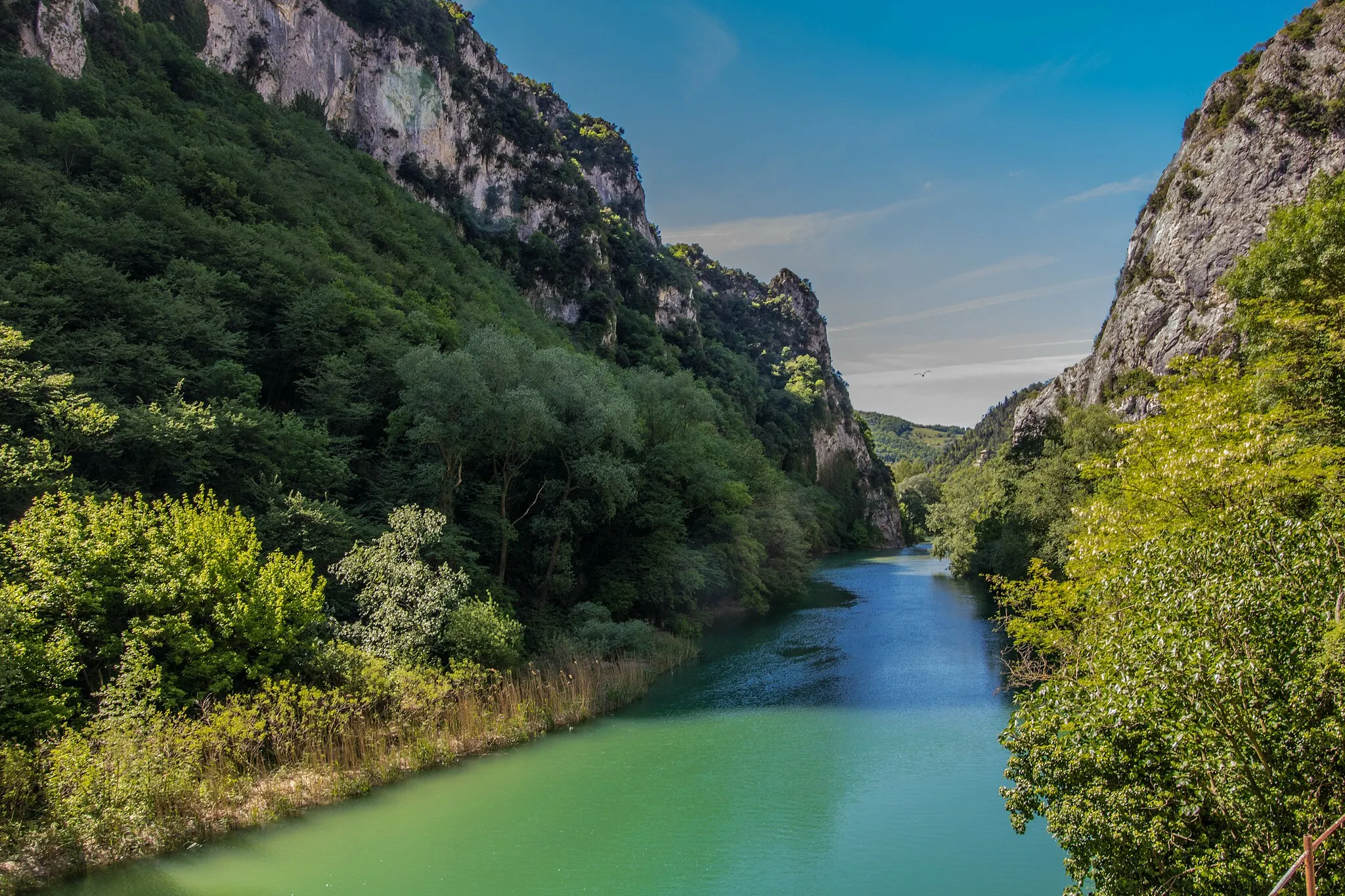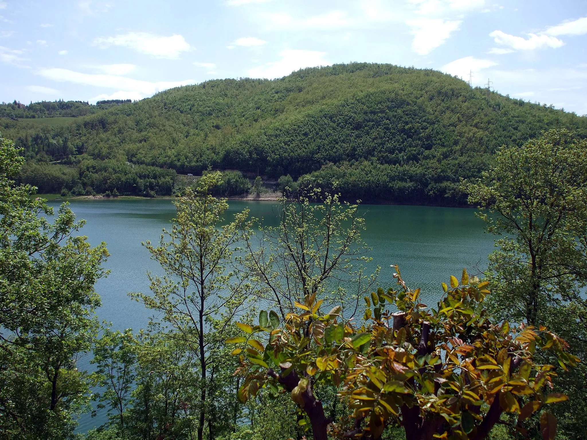
Hügel und Täler
Eine road-Radroute, die von Sant'Angelo in Vado aus startet.
Eine abwechslungsreiche Route mit atemberaubender Landschaft und historischen Dörfern
Karte
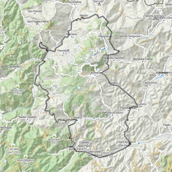
Diese 116 km lange Straßenroute führt Sie durch die historische Stadt Mercatello sul Metauro und zum Monte Lavacchio. Erklimmen Sie die Hügel von Sestino und Monte Maggio, bevor Sie die reizvolle Umgebung von Poggio erreichen. Genießen Sie die Panoramablicke vom Pietrafagnana und das malerische Lunano.
road
116 km
2648 m
Wild
Streckenprofil
Höhepunkte auf der Strecke
0 km
0 km
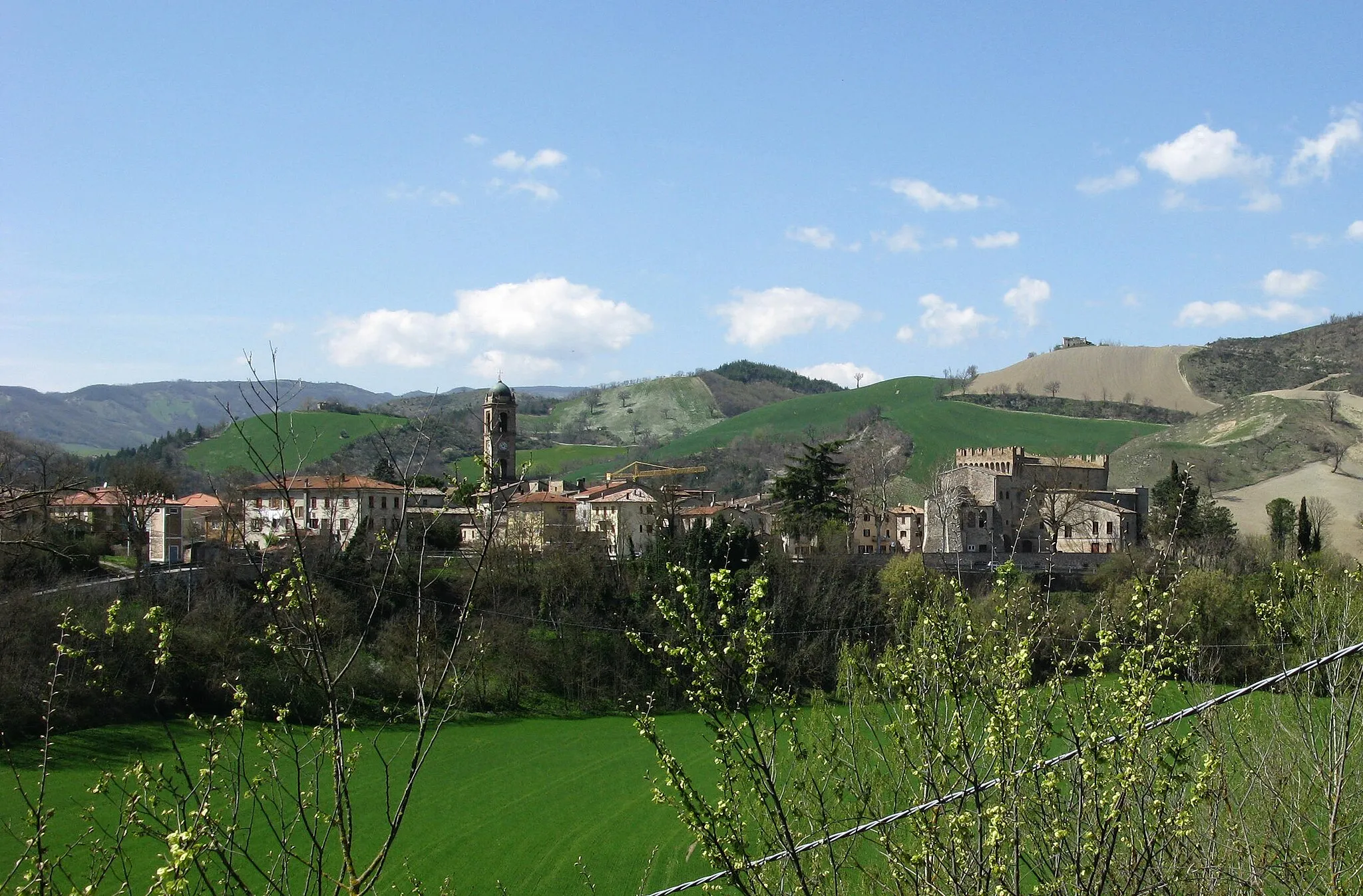
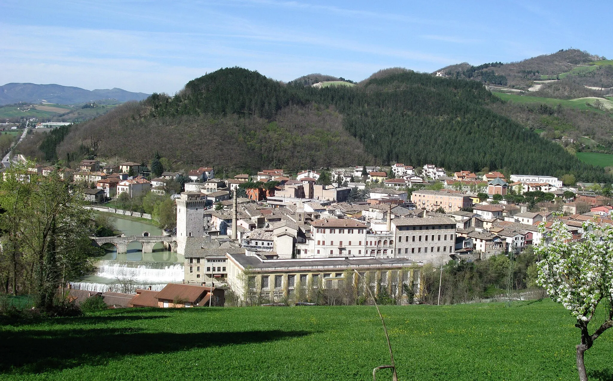
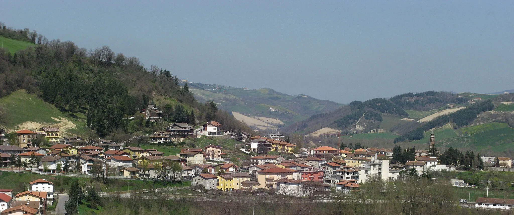
Start: Sant'Angelo in Vado Village centerSant'Angelo in Vado: Vielfältige Radstrecken in einer charmanten Stadt
Sant'Angelo in Vado in Marche, Italien, ist eine gemütliche Stadt mit gut ausgebauten Straßen und interessanten Schotterwegen für Radfahrer. Die Umgebung bietet abwechslungsreiche Strecken und landschaftliche Vielfalt, die Radfahrer aller Niveaus anspricht.6 km
6 km
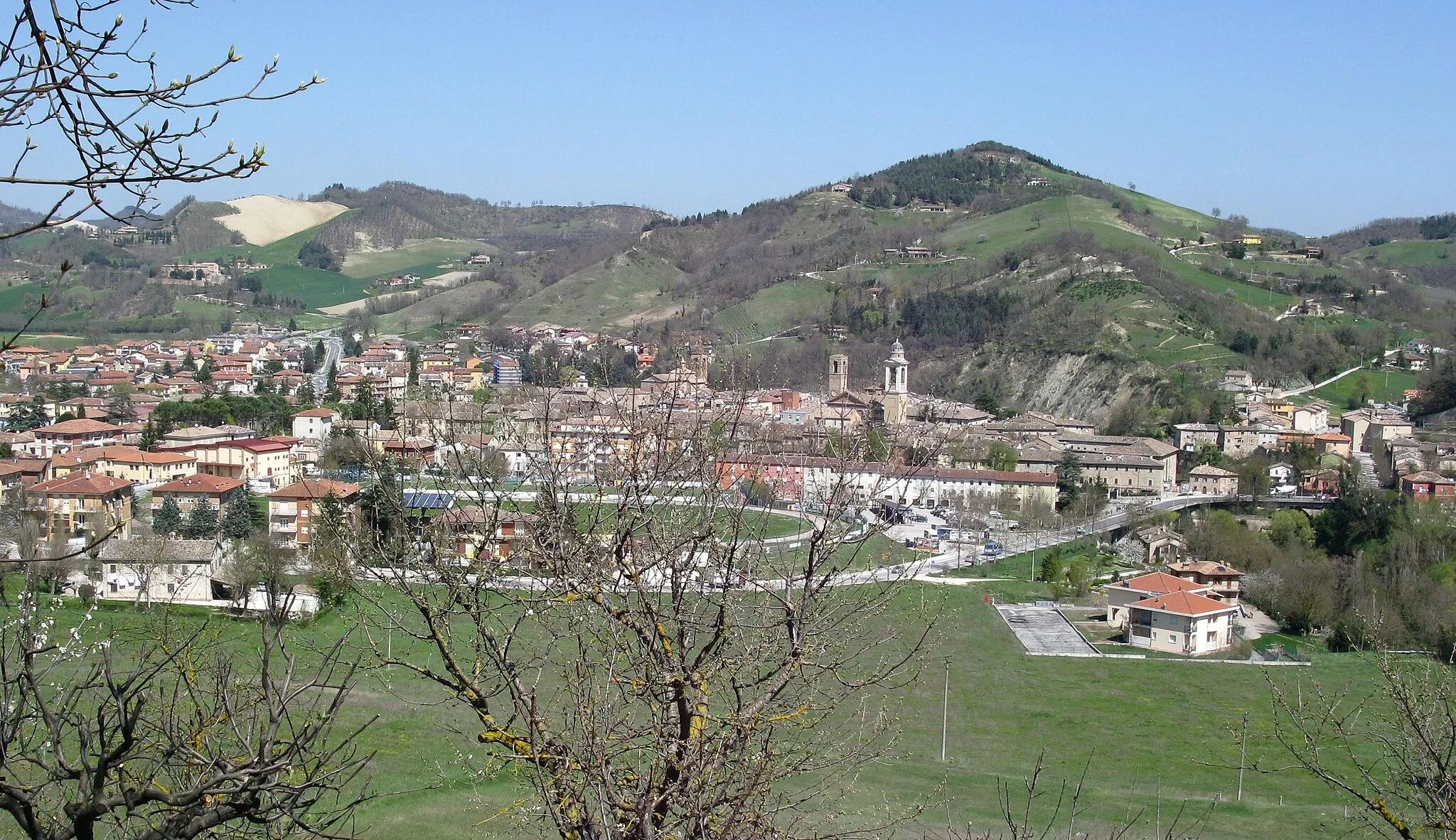
Mercatello sul MetauroDorfErkunden Sie die historische Stadt Mercatello sul Metauro.
7 km
7 km
Monte Lavacchio712 mGipfelErleben Sie die atemberaubende Landschaft vom Monte Lavacchio.
22 km
22 km
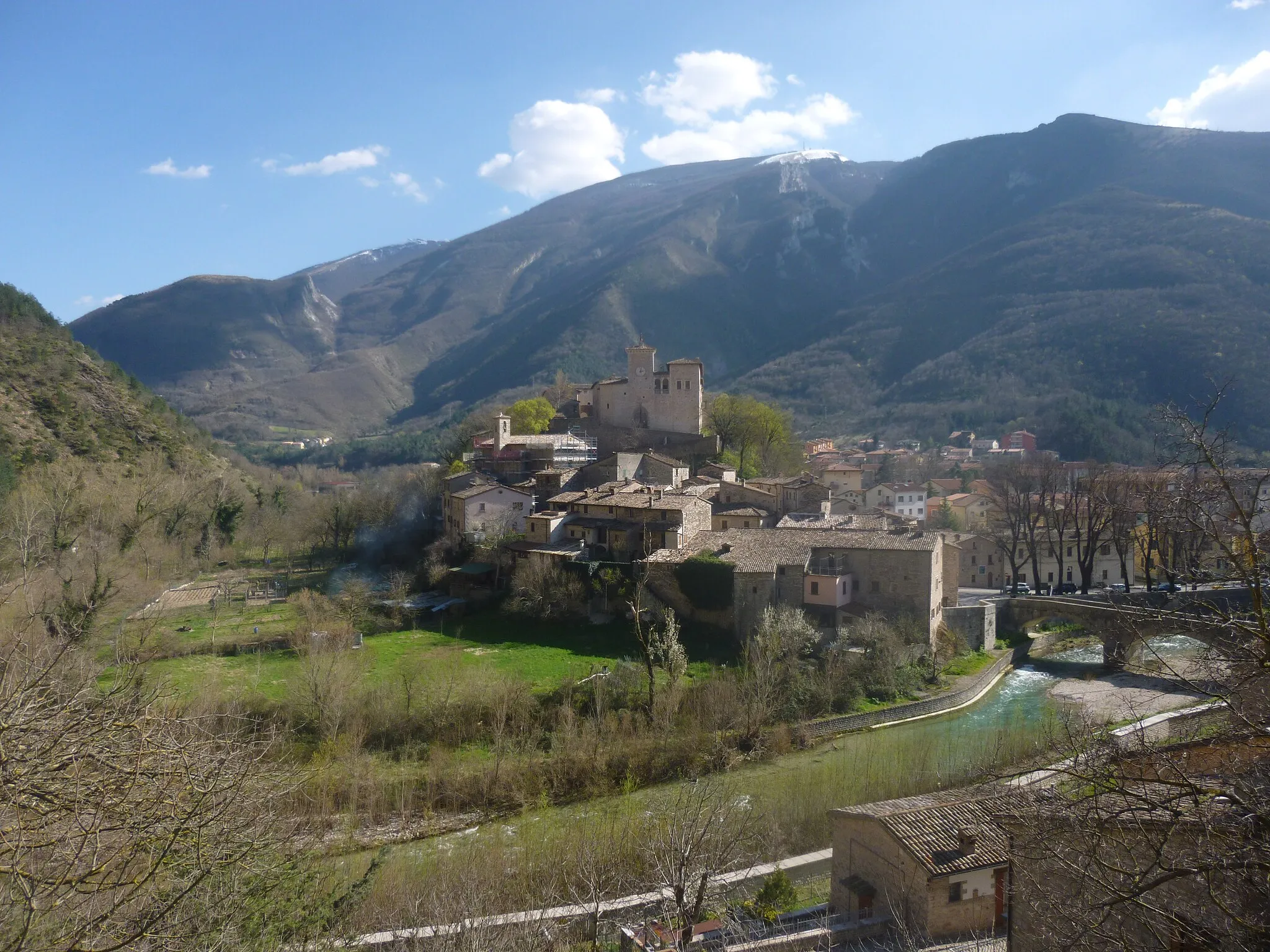
SestinoDorfGenießen Sie die Ruhe von Sestino.
34 km
34 km
Monte Maggio899 mGipfelErklimmen Sie die Hügel des Monte Maggio.
81 km
81 km
Poggio910 mGipfelEntdecken Sie die reizvolle Umgebung von Poggio.
90 km
90 km
Pietrafagnana798 mGipfelGenießen Sie die Panoramablicke vom Pietrafagnana.
102 km
102 km
LunanoDorfErkunden Sie das malerische Lunano.
116 km
116 km
Ziel: Sant'Angelo in Vado Village centerSant'Angelo in Vado: Vielfältige Radstrecken in einer charmanten Stadt
Radwege von Sant'Angelo in Vado:
In der Nähe befinden sich Fahrradrouten: