Dosso Cristina - Monte Sarta Graveltour
Eine gravel-Radroute, die von Rovereto aus startet.
Entdecken Sie die landschaftliche Schönheit auf dieser abenteuerlichen Graveltour
Karte
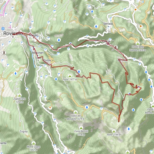
Diese Gravelroute führt durch eine vielfältige Landschaft und bietet herrliche Ausblicke auf die Umgebung. Mit 49 km Länge und 2418 Höhenmetern ist dies eine anspruchsvolle Strecke für Abenteurer.
gravel
49 km
2418 m
Schwierig
Streckenprofil
Höhepunkte auf der Strecke
0 km
0 km
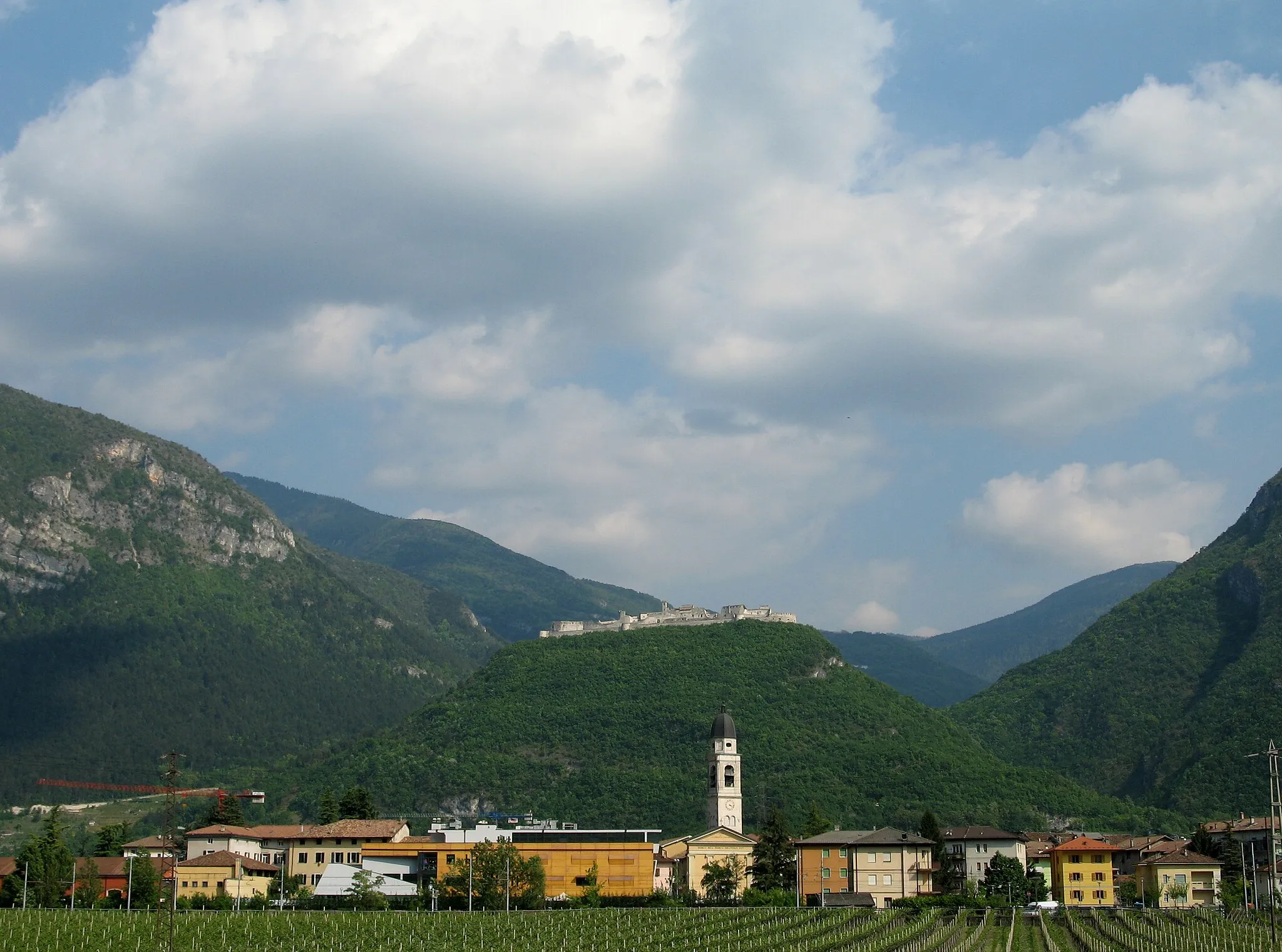
Start: Rovereto City centerRovereto: Historisches Flair und herausfordernde Anstiege in Rovereto
Rovereto ist eine historische Stadt in der Provinz Trient, ideal gelegen für Radfahrer. Die Umgebung bietet diverse Radwege, hügelige Landschaften und sogar einige anspruchsvolle Anstiege wie den Passo San Lugano oder den Monte Baldo. Rovereto ist auch Startpunkt für die bekannte Monte Grappa Challenge.10 km
10 km
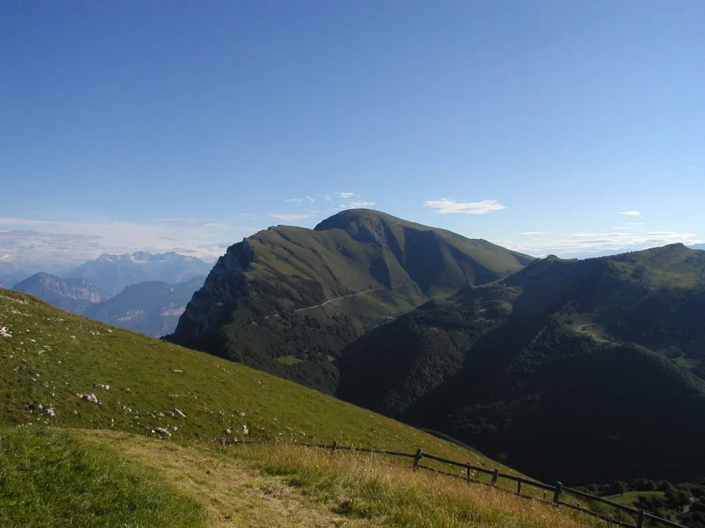
Dosso Cristina1381 mGipfelDosso Cristina ist ein idyllisches Gebiet mit unberührter Natur.
11 km
11 km
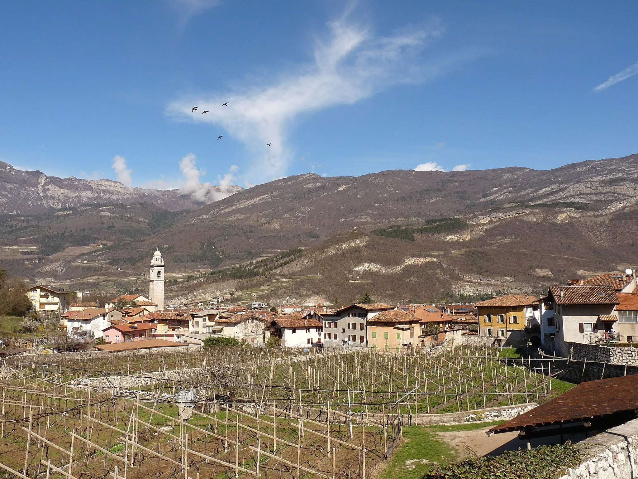
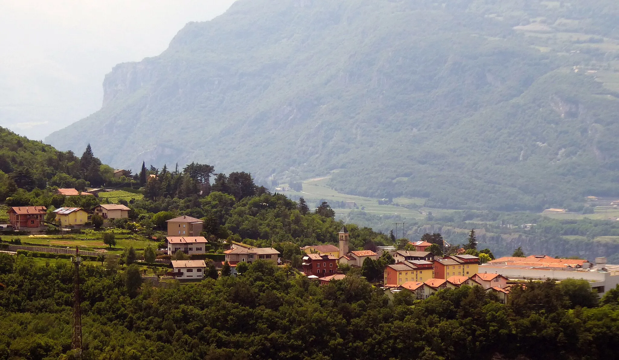
PiazzaDorfDer Piazza ist ein malerischer Platz zum Ausruhen und Entspannen.
21 km
21 km
Monte Sarta1449 mGipfelMonte Sarta ist ein verstecktes Juwel der Region mit einer einzigartigen Flora und Fauna.
29 km
29 km
Col Santino2127 mGipfelDer Col Santino bietet eine wilde und unberührte Landschaft.
41 km
41 km
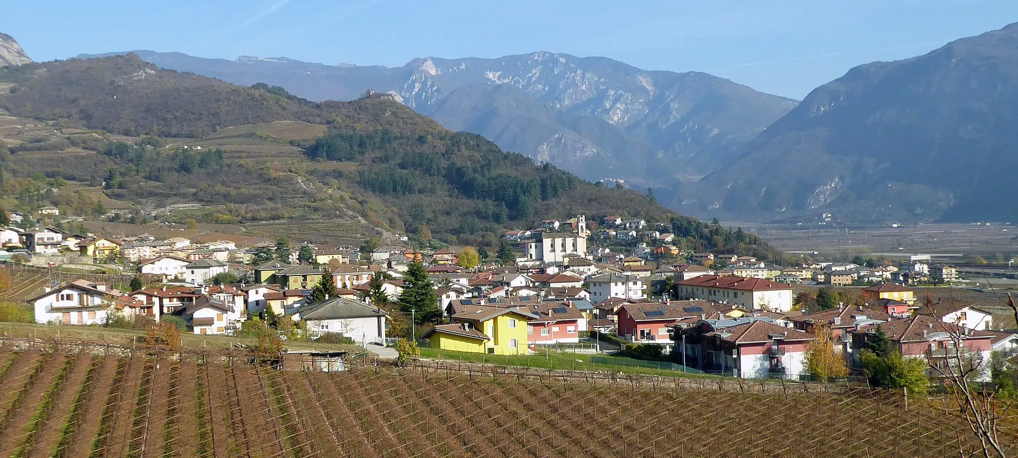
BoccaldoWeilerDer Boccaldo ist ein geheimer Ort abseits der ausgetretenen Pfade.
46 km
46 km
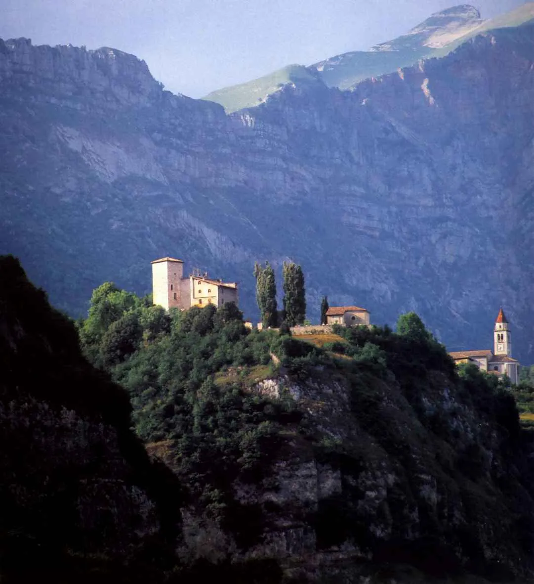
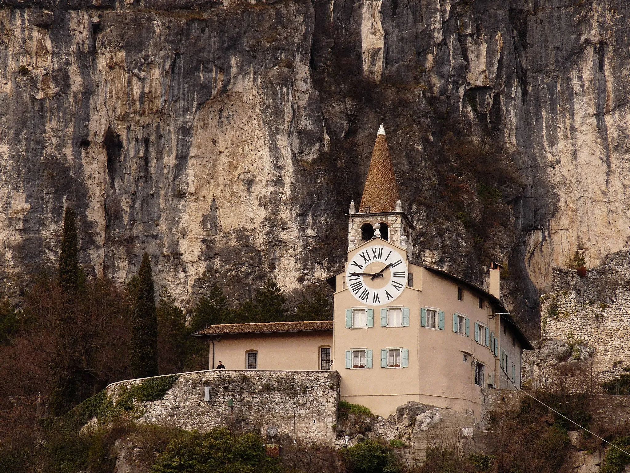
San ColombanoAussichtspunktSan Colombano ist eine Oase der Ruhe und Entspannung inmitten der Natur.
48 km
48 km
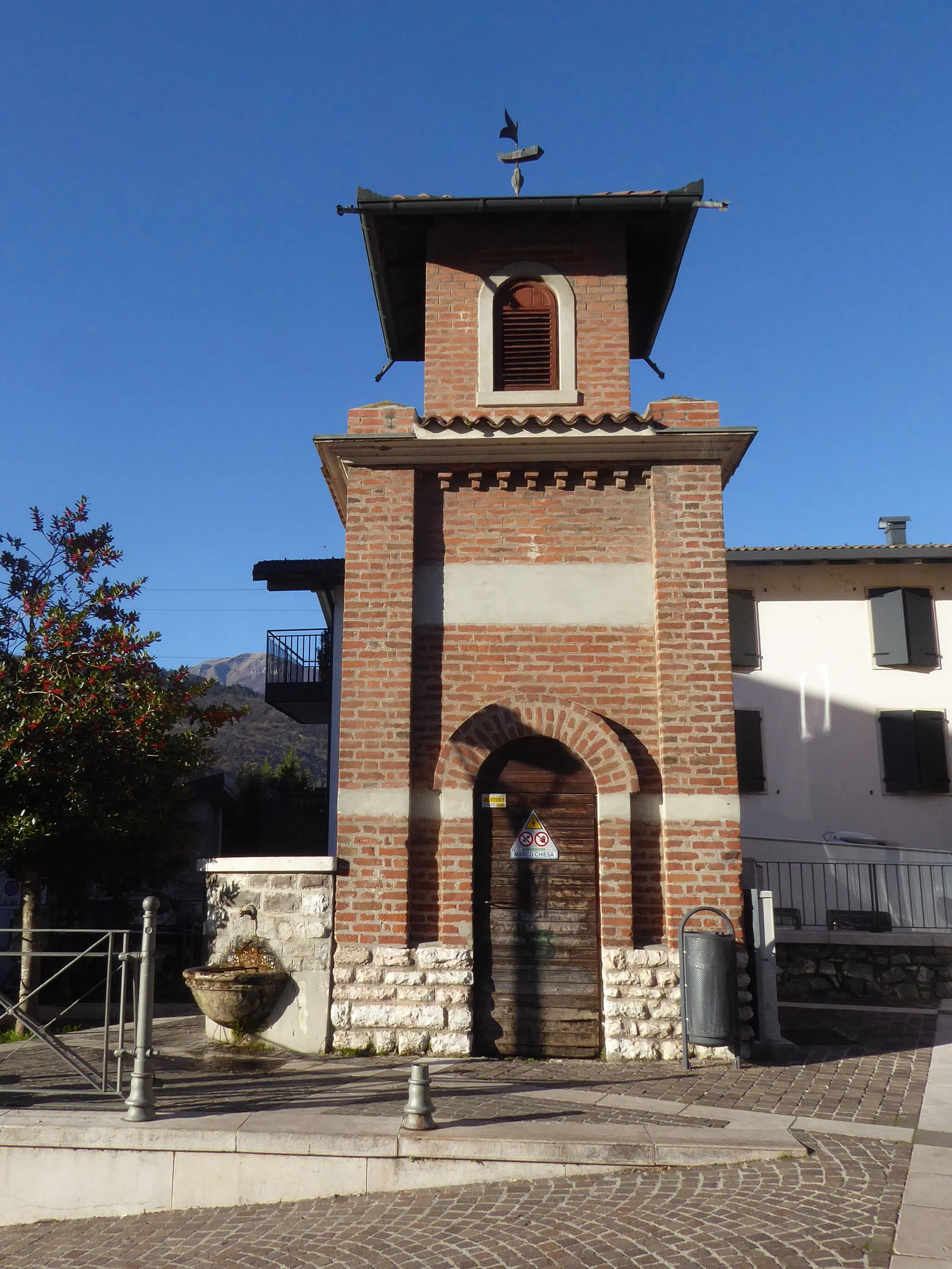
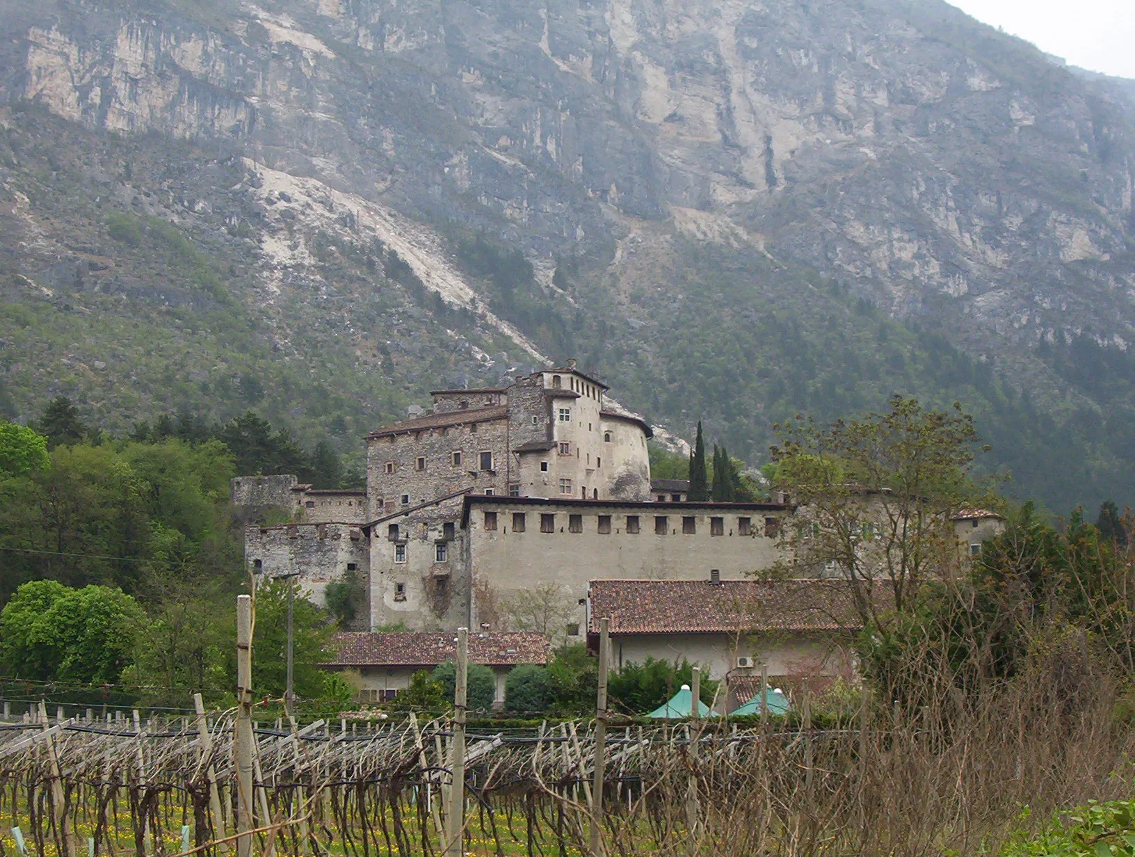
PorteDorfDie Porte sind eine eindrucksvolle Felsformation in der Region.
49 km
49 km
Ziel: Rovereto City centerRovereto: Historisches Flair und herausfordernde Anstiege in Rovereto
Radwege von Rovereto:
In der Nähe befinden sich Fahrradrouten: