Aufregende Schotterrunde um Antella
Eine gravel-Radroute, die von Antella aus startet.
Entdecken Sie die malerische Landschaft um Antella auf dieser 90 km langen Schotterroute.
Karte
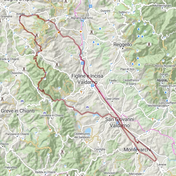
Die Tour bietet atemberaubende Panoramen und führt Sie durch idyllische Dörfer wie Levanella und San Giovanni Valdarno. Der Anstieg von 1449 m sorgt für eine sportliche Herausforderung, belohnt aber mit unvergesslichen Ausblicken.
gravel
90 km
1449 m
Schwierig
Streckenprofil
Höhepunkte auf der Strecke
0 km
0 km
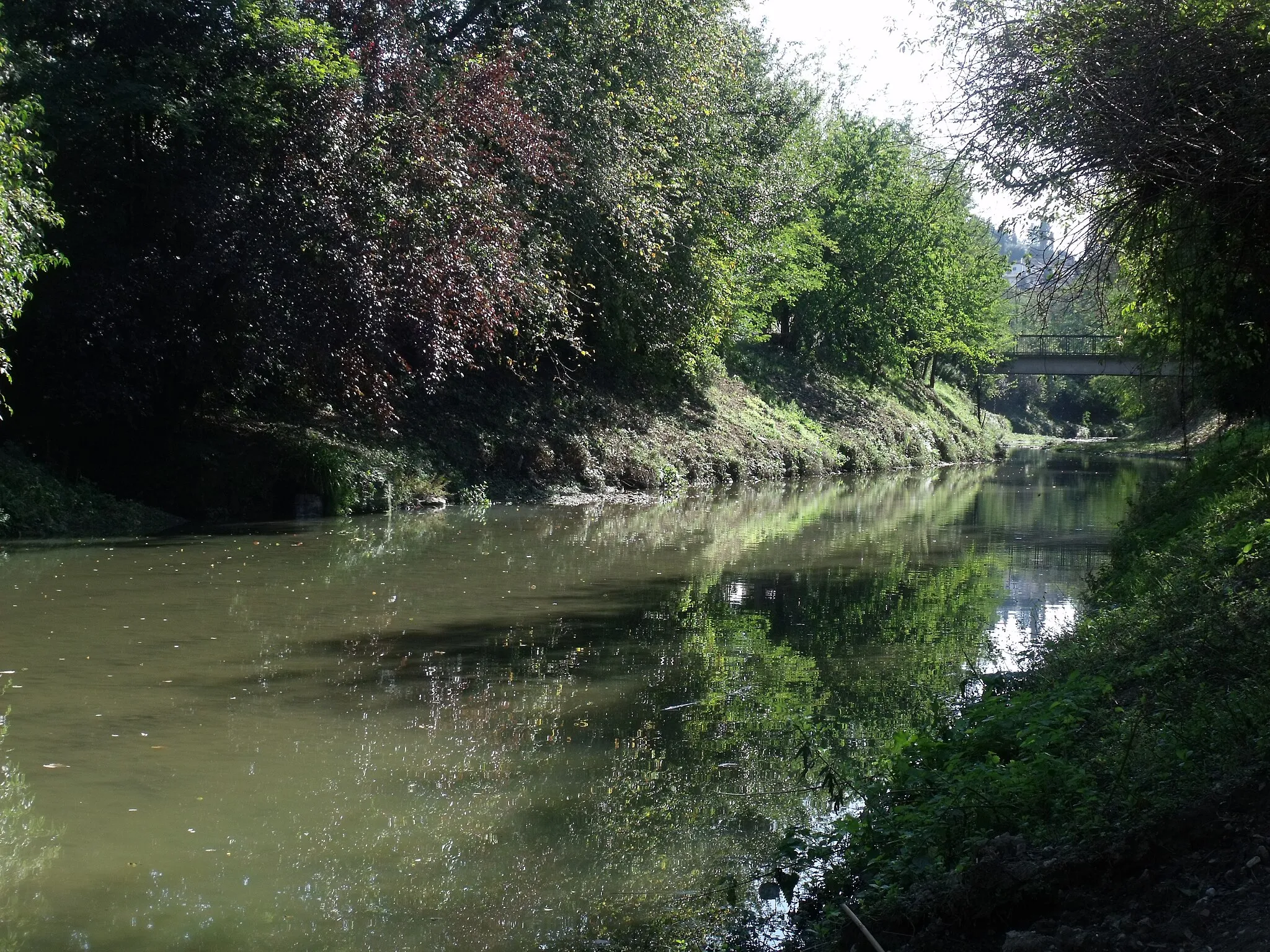
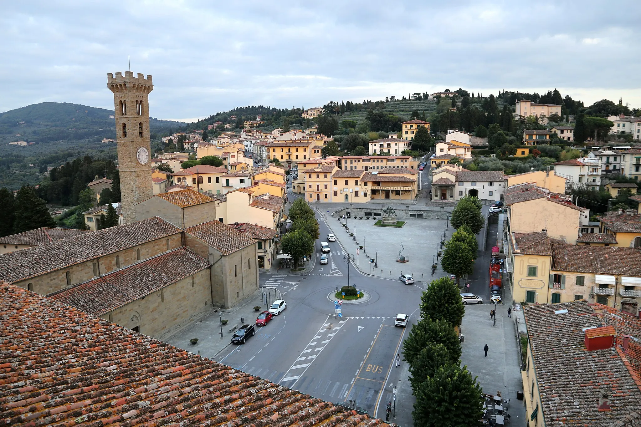
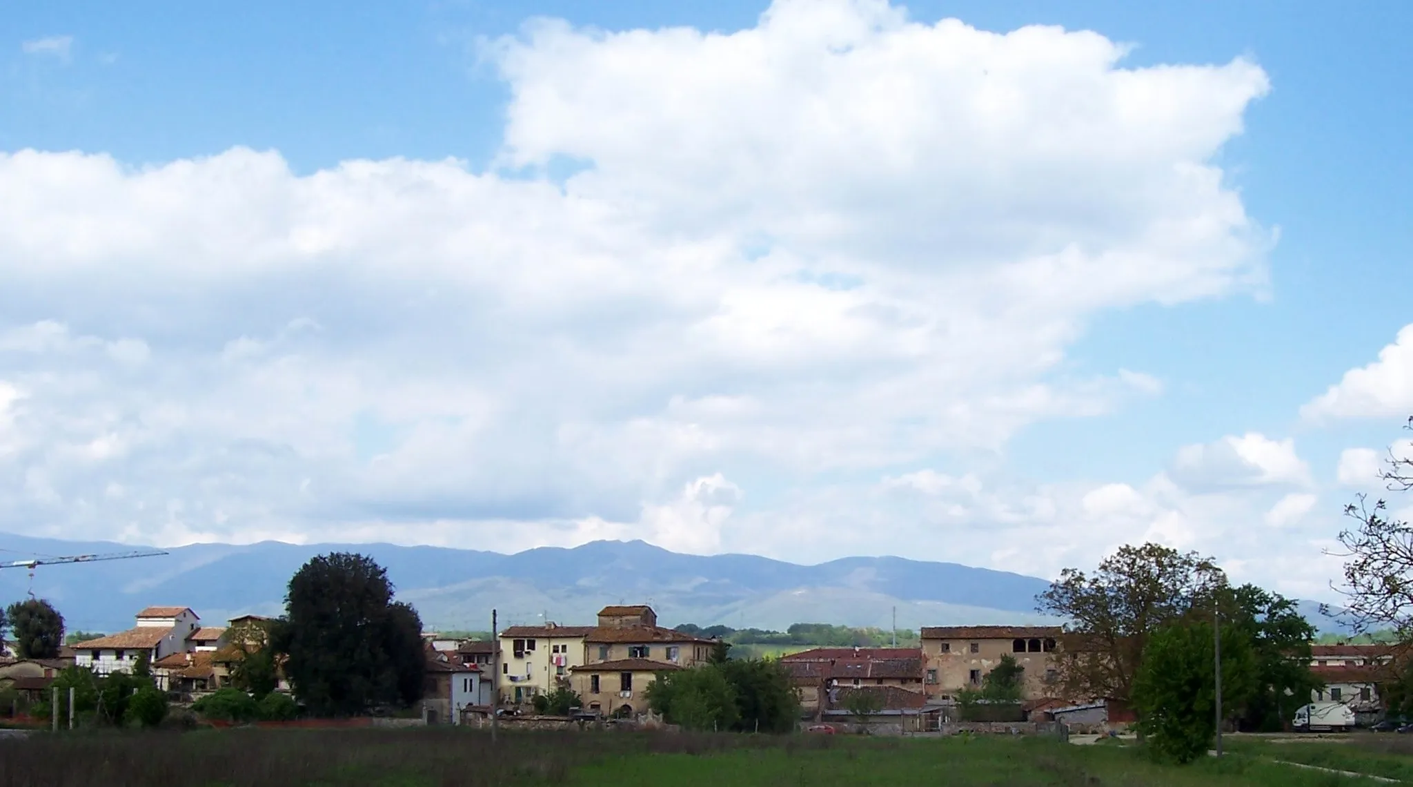
Start: Antella Village centerAntella: Malerisches Örtchen mit herausfordernden Anstiegen
Antella ist ein malerisches Örtchen mit perfekten Bedingungen für Radfahrer. Die hügelige Landschaft bietet herausfordernde Anstiege und schöne Ausblicke, die Radfahrer begeistern werden.42 km
42 km
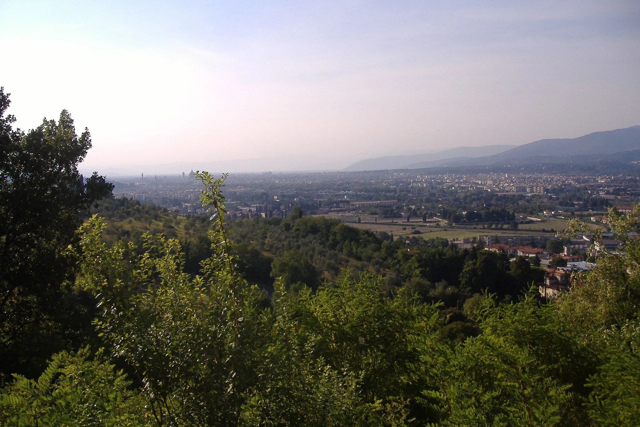
LevanellaDorfGenießen Sie das einzigartige Panorama auf dem Poggio Coio.
51 km
51 km
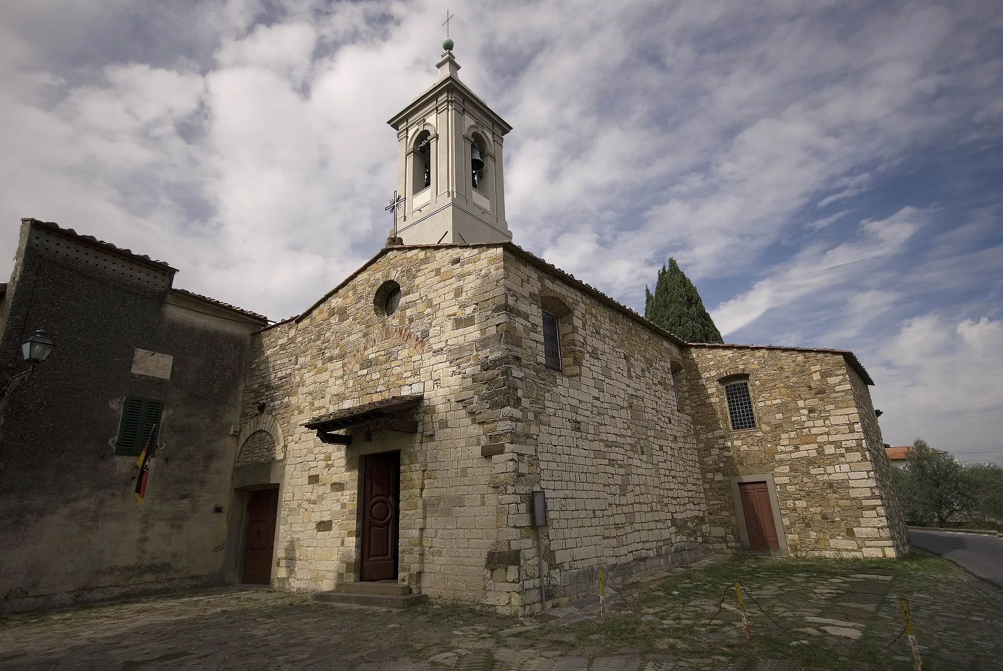
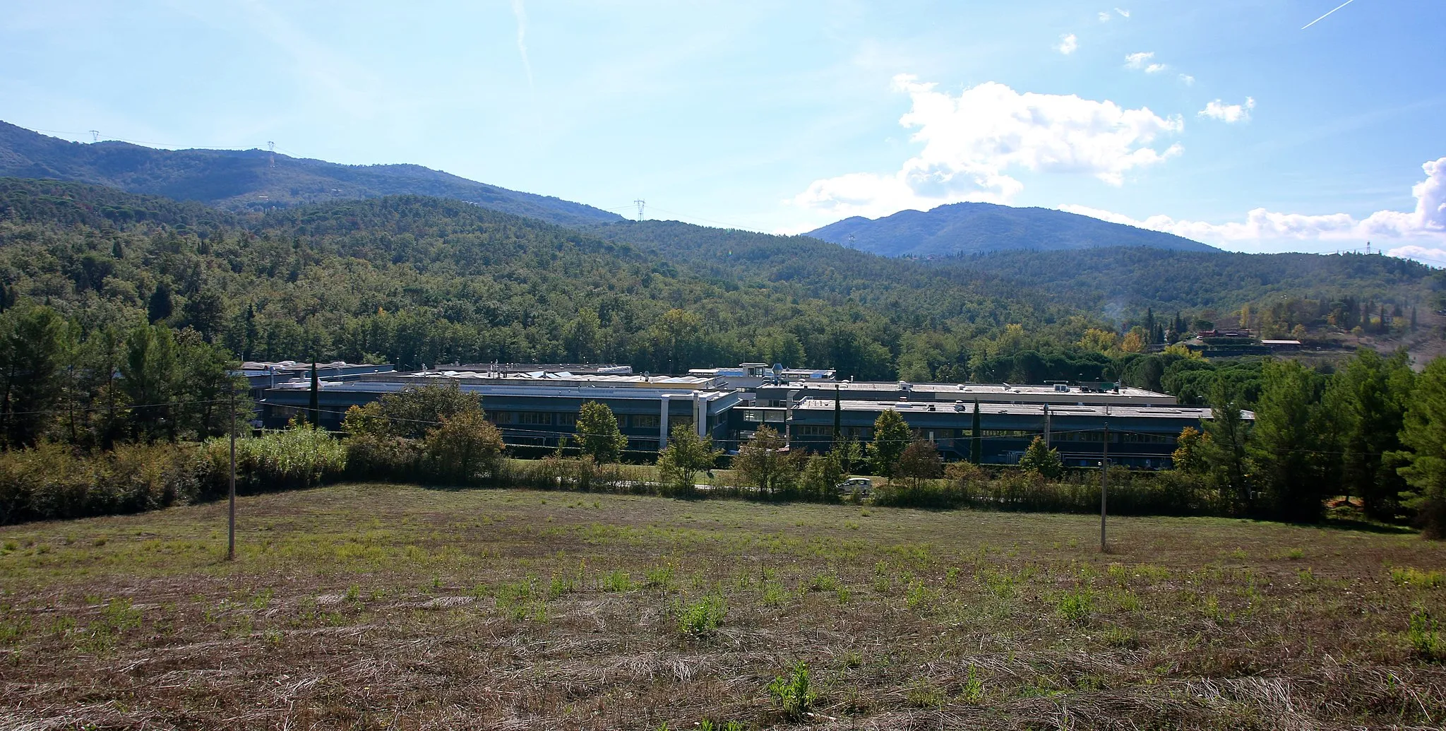
San Giovanni ValdarnoStadtErkunden Sie die charmante Altstadt von San Giovanni Valdarno.
64 km
64 km
Poggio Coio513 mGipfelTauchen Sie ein in die ruhige Atmosphäre von Levanella.
86 km
86 km
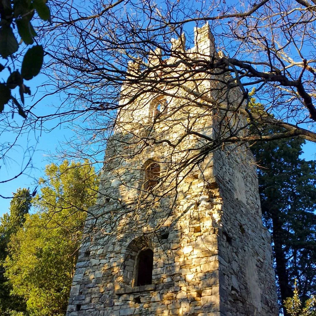
panoramaAussichtspunktErleben Sie unvergleichliche Ausblicke auf die umliegende Landschaft.
90 km
90 km
Ziel: Antella Village centerAntella: Malerisches Örtchen mit herausfordernden Anstiegen
Radwege von Antella:
Kultur pur: Antella - Baroncelli Tour Herausforderung pur: Antella - Passo della Consuma Rundtour Kulturelle Vielfalt: Antella - Ponte a Niccheri Strecke Aufregende Schottertour rund um Antella Entdecke die Natur: Antella - Monte Giovi Rundfahrt Rundtour durch malerische Landschaft Kurvenreiche Straßentour um Antella Panoramische Straßenrunde von Antella Aufregende Schotterrunde um Antella Road-Tour mit pittoresken Stopps
In der Nähe befinden sich Fahrradrouten: