Cima della Sughereta und Caprona Rundtour
Eine gravel-Radroute, die von San Giuliano Terme aus startet.
Eine abwechslungsreiche Fahrradfahrt durch malerische Landschaften.
Karte
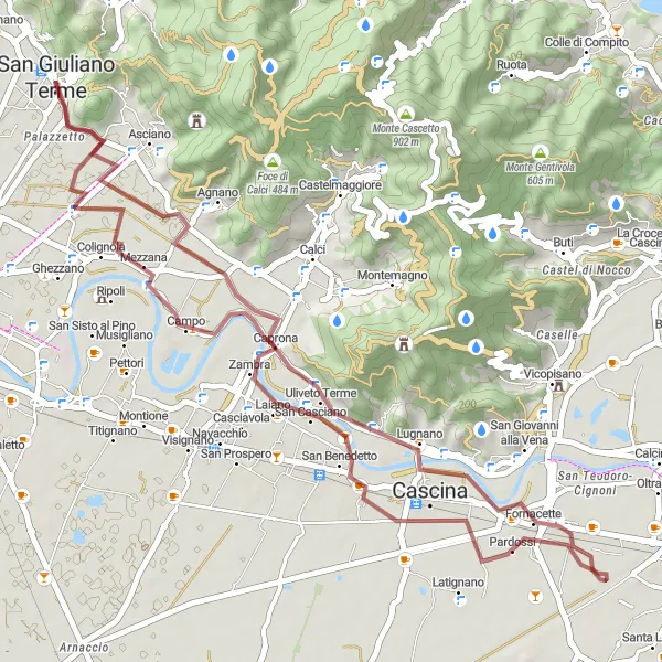
Diese 46 km lange Route eignet sich bestens für Gravelbikes. Sie führt Sie zum Campo und hoch zur Cima della Sughereta. Bewundern Sie die Schönheit von Monte Bianco und genießen Sie die Gegend um Caprona.
gravel
46 km
55 m
Schwierig
Streckenprofil
Höhepunkte auf der Strecke
0 km
0 km
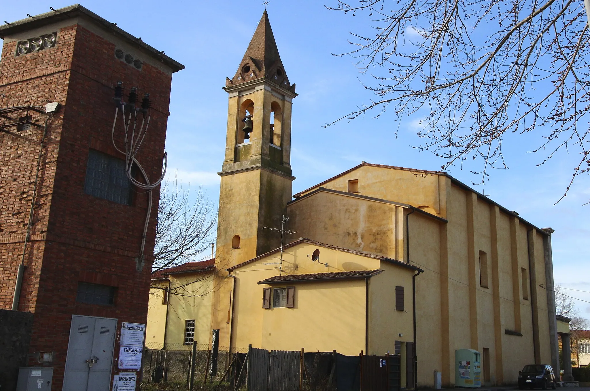
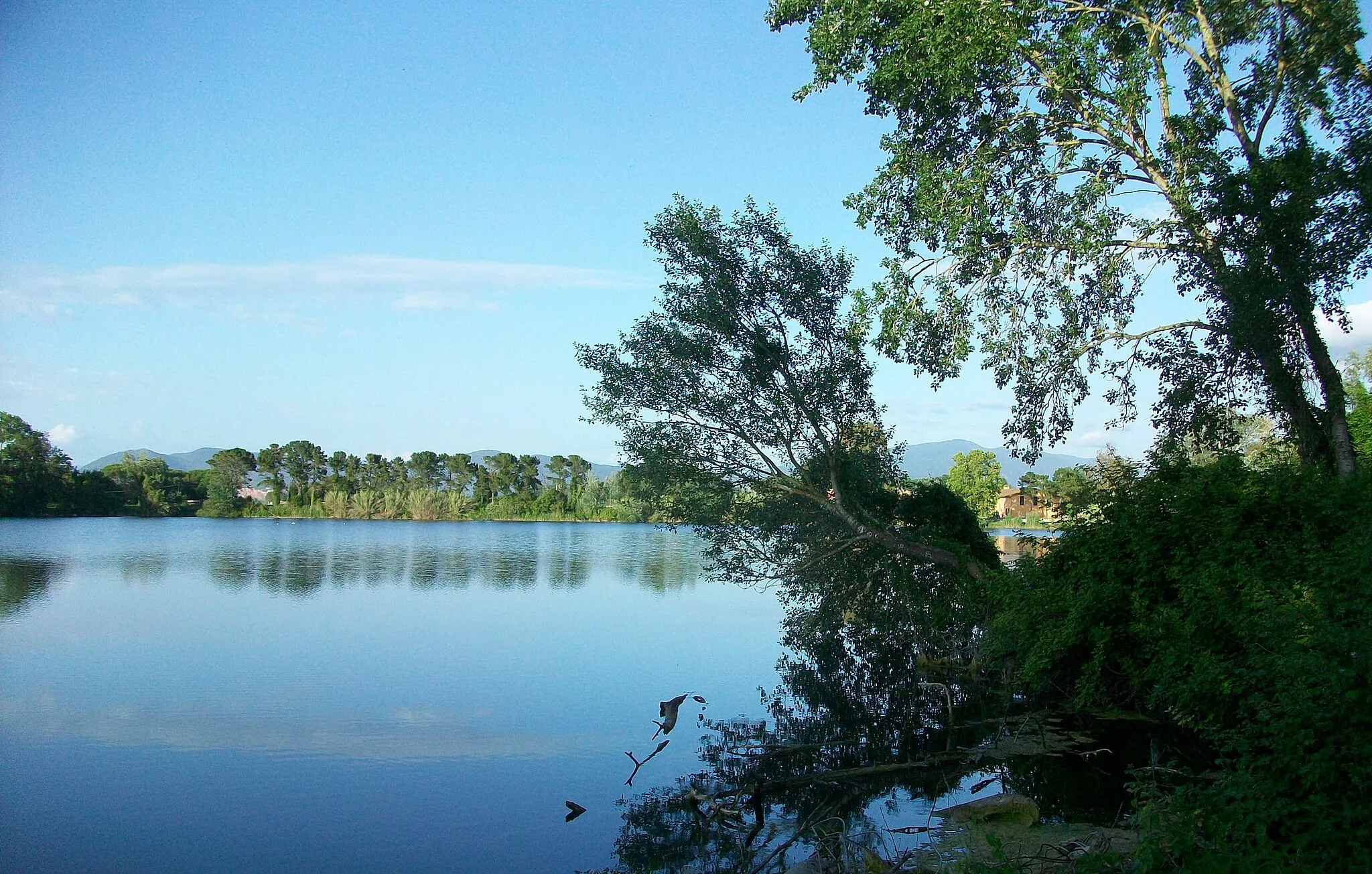
Start: San Giuliano Terme City centerSan Giuliano Terme: Beliebtes Ziel mit herausfordernden Anstiegen
San Giuliano Terme in der Toskana ist ein beliebtes Ziel für Radfahrer, mit seinem milden Klima und den herausfordernden Anstiegen in der Umgebung. Es gibt auch viele Fahrradwege und Routen, die das Erkunden der Region erleichtern.9 km
9 km
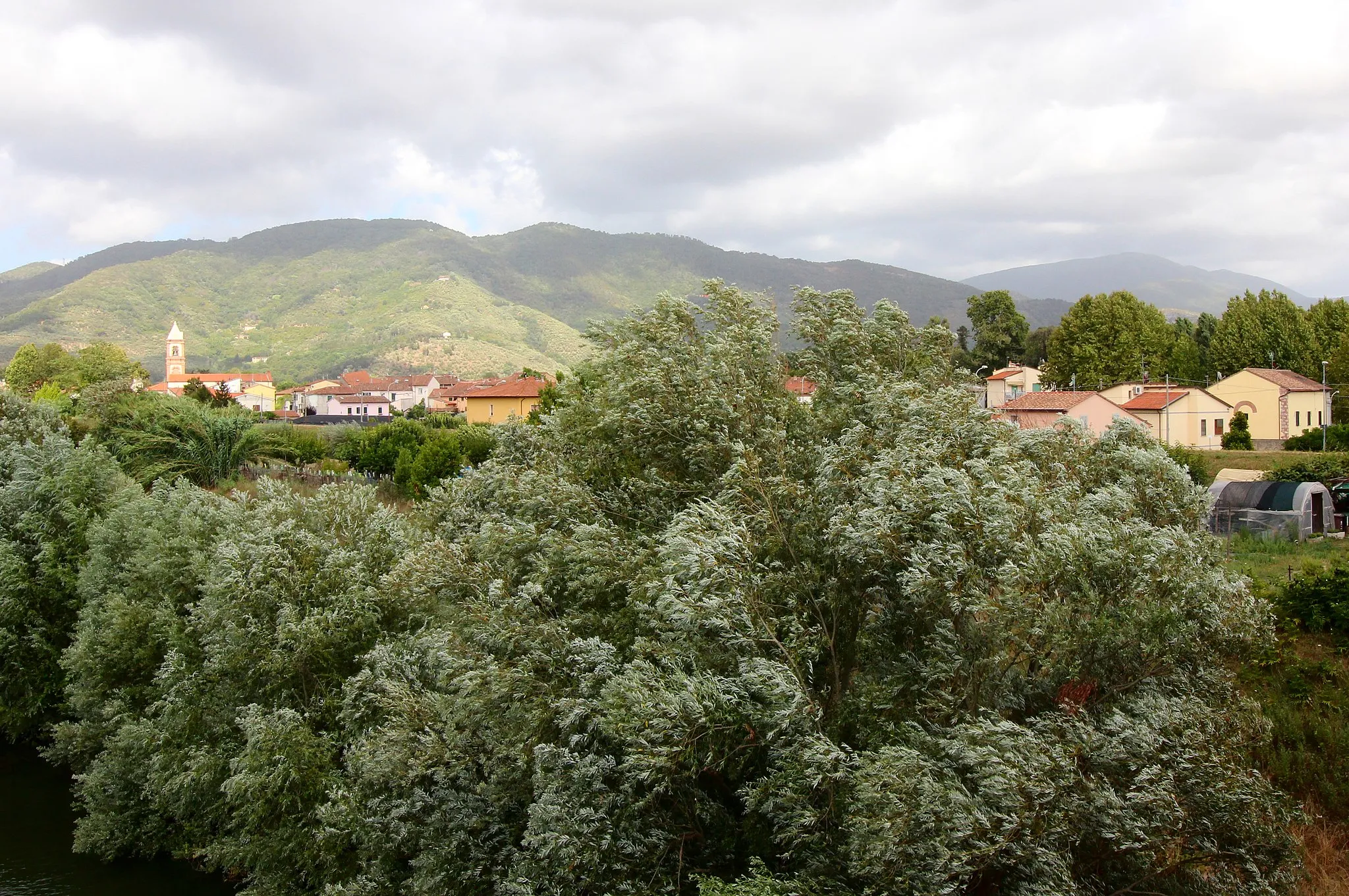
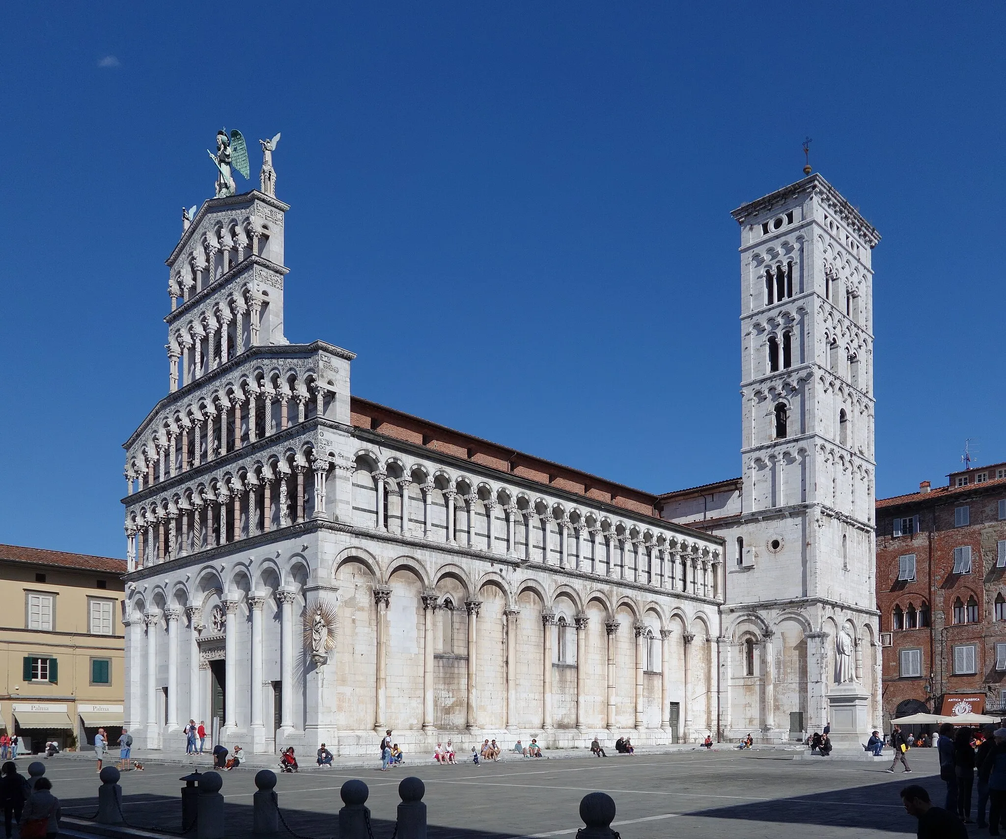
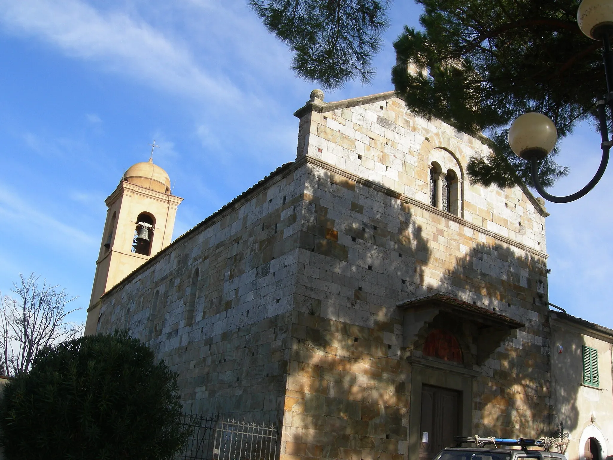
CampoDorfErkunden Sie das idyllische Dorf Campo während Ihrer Fahrt.
13 km
13 km
Monte Bianco145 mGipfelBlicken Sie vom Monte Bianco auf die Umgebung.
35 km
35 km
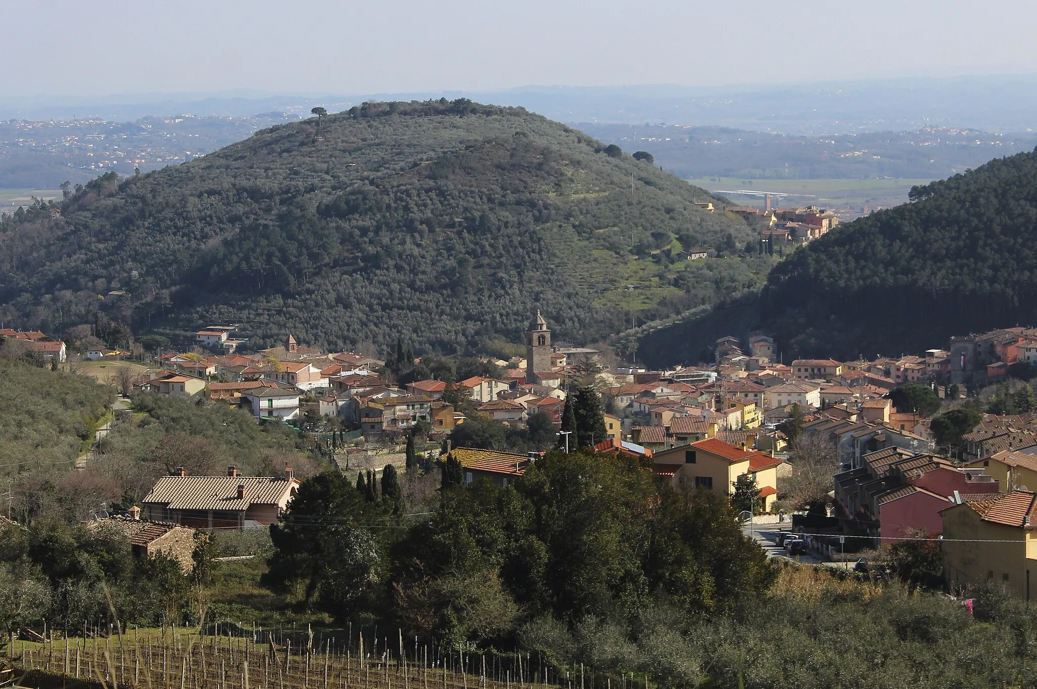
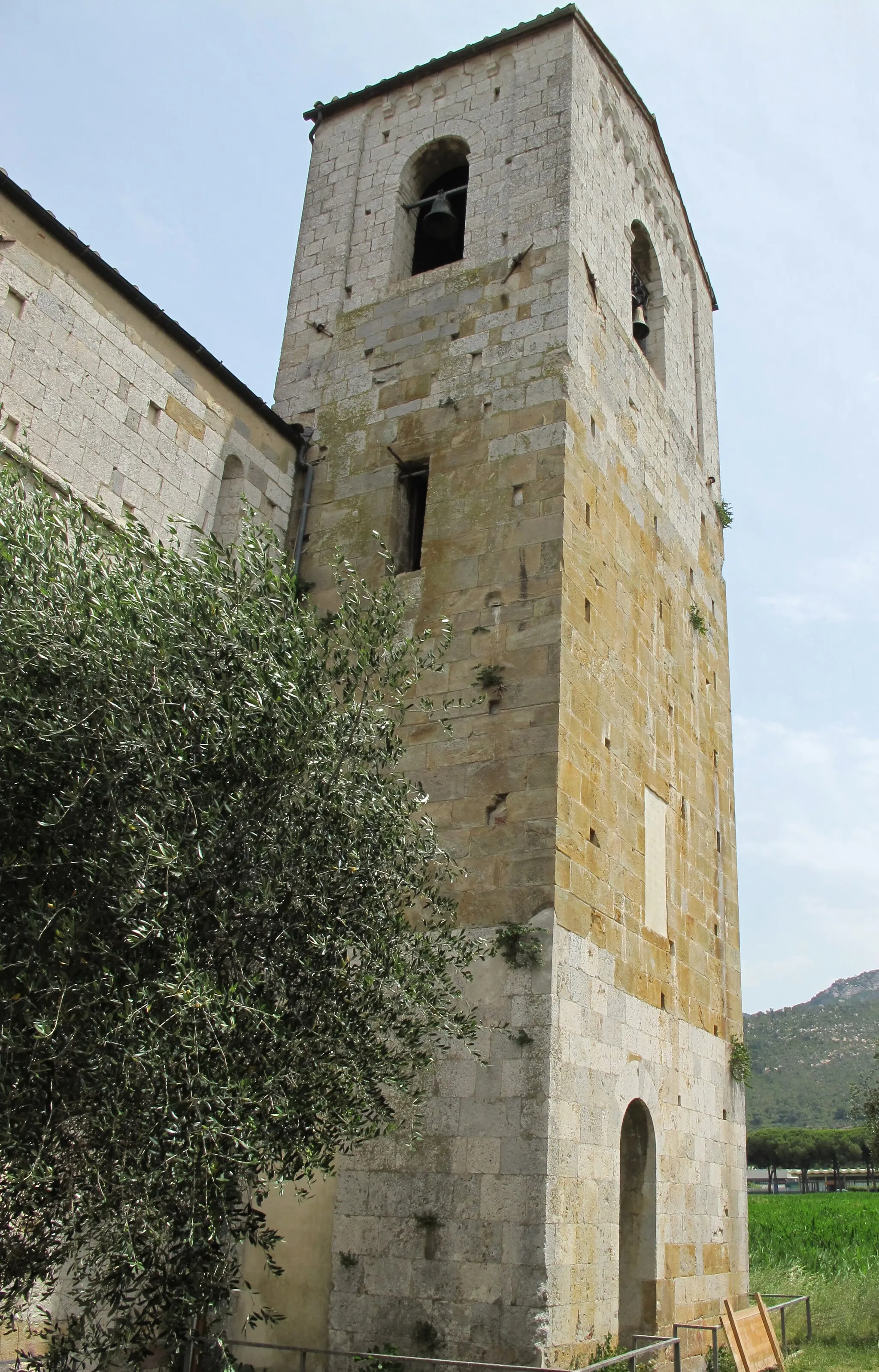
CapronaDorfGenießen Sie die Atmosphäre von Caprona während Ihrer Tour.
40 km
40 km
Cima della Sughereta313 mGipfelBewundern Sie die Landschaft um Cima della Sughereta.
46 km
46 km
Ziel: San Giuliano Terme City centerSan Giuliano Terme: Beliebtes Ziel mit herausfordernden Anstiegen
Radwege von San Giuliano Terme:
Pieve die Compito und Poggio Rattanaboli Entdecker Tour Monte Castellare und San Piero a Grado Erkundungstour Monte Bianco und Poggio Casale Tour Ponte della Maddalena und Monte Cocco Expedition Entdeckungsreise durch die Natur und Kultur Historische Schätze und malerische Landschaften Gravelabenteuer durch idyllische Landschaften Cima della Sughereta und Caprona Rundtour Gravelabenteuer mit Ausblick Panoramablick und historische Stätten
In der Nähe befinden sich Fahrradrouten: