Serpentinstraße Otura - Gójar
Eine road-Radroute, die von Gojar aus startet.
Eine kurvenreiche Strecke durch die malerische Landschaft von Andalusien
Karte
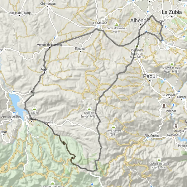
Die Route führt entlang historischer Dörfer wie Fornes und Agrón und bietet atemberaubende Ausblicke vom Cerro de la Venta sowie dem Puerto del Suspiro del Moro. La Malahá und Cerro Viñaero sind weitere Höhepunkte auf dieser 96 km langen Strecke.
road
96 km
1490 m
Schwierig
Streckenprofil
Höhepunkte auf der Strecke
0 km
0 km
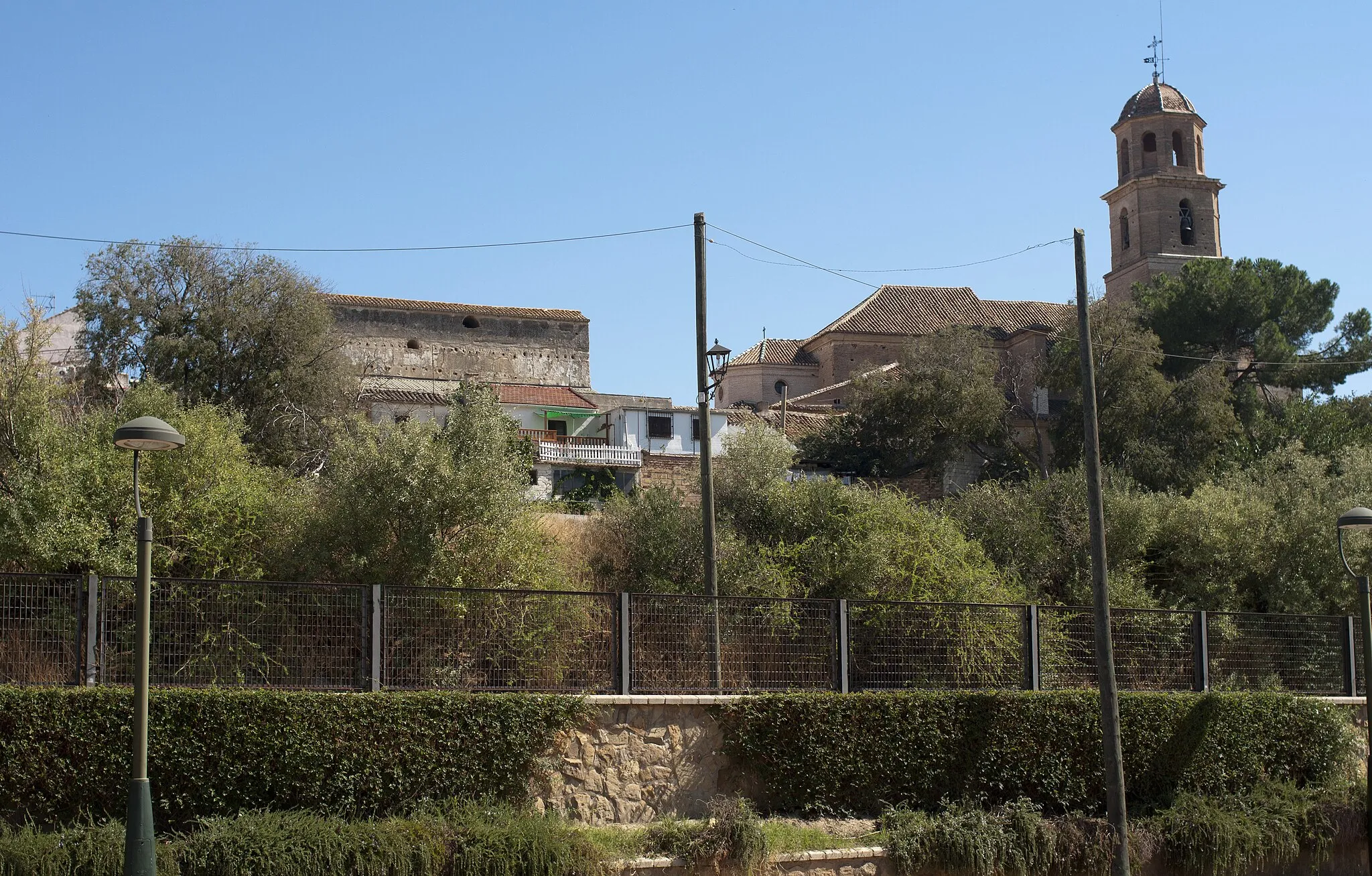
Start: Gójar Village centerGójar: Interessante Routen für Rennradfahrer und Mountainbiker
Gójar, in Andalucía, Spanien, bietet einige interessante Routen für Rennradfahrer und Mountainbiker. Die Umgebung ist abwechslungsreich und eignet sich gut für anspruchsvolle Touren.6 km
6 km
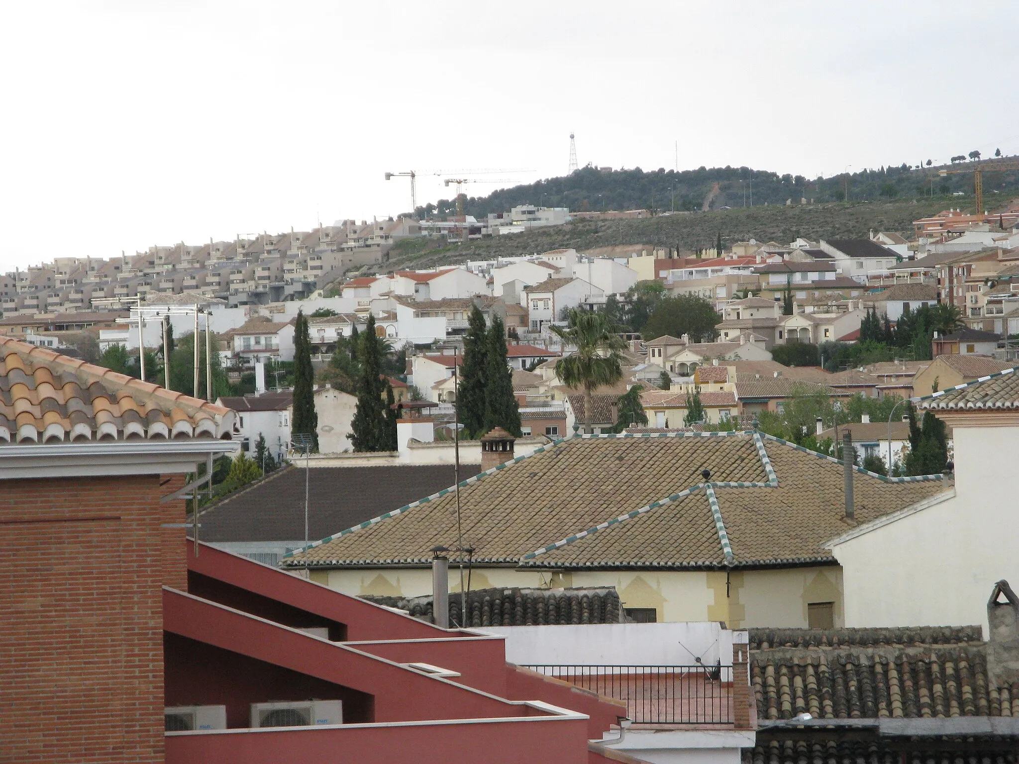
Villa de OturaDorfBesuchen Sie das charmante Dorf Villa de Otura entlang der Route.
10 km
10 km
Puerto del Suspiro del Moro848 mBergpassGenießen Sie die Aussicht vom bekannten Pass Puerto del Suspiro del Moro.
31 km
31 km
Cerro de la Venta1391 mGipfelEntdecken Sie den Cerro de la Venta auf Ihrem Weg.
55 km
55 km
FornesDorfBesuchen Sie das idyllische Fornes während Ihrer Fahrt.
66 km
66 km
AgrónDorfErleben Sie Agrón entlang der Strecke.
81 km
81 km
La MalaháDorfGenießen Sie einen Stopp in La Malahá während Ihrer Fahrt.
91 km
91 km
Cerro Viñaero783 mGipfelBestaunen Sie den Cerro Viñaero auf Ihrem Weg.
96 km
96 km
Ziel: Gójar Village centerGójar: Interessante Routen für Rennradfahrer und Mountainbiker
Radwege von Gojar:
In der Nähe befinden sich Fahrradrouten: