Erlebnisreiche Radtour durch Andalucía
Eine road-Radroute, die von Montefrio aus startet.
Eine abwechslungsreiche Fahrt durch die malerische Region Andalusiens.
Karte
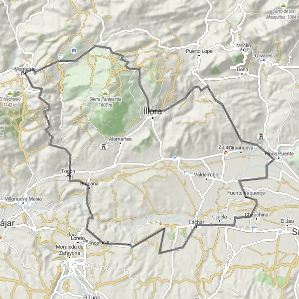
Mit 1420 Höhenmetern auf 88 Kilometern bietet diese Route eine vielseitige Strecke durch Andalucía. Besuchen Sie Highlights wie Peña de los Gitanos, Íllora und Torre de Tocón. Erkunden Sie die charmanten Dörfer entlang des Weges und genießen Sie die Rückfahrt nach Montefrío.
road
88 km
1420 m
Wild
Streckenprofil
Höhepunkte auf der Strecke
0 km
0 km
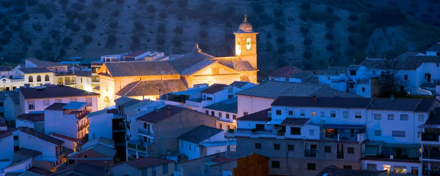
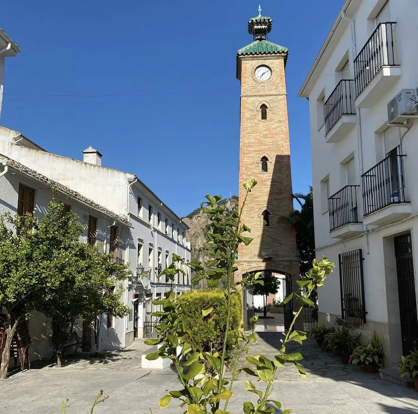
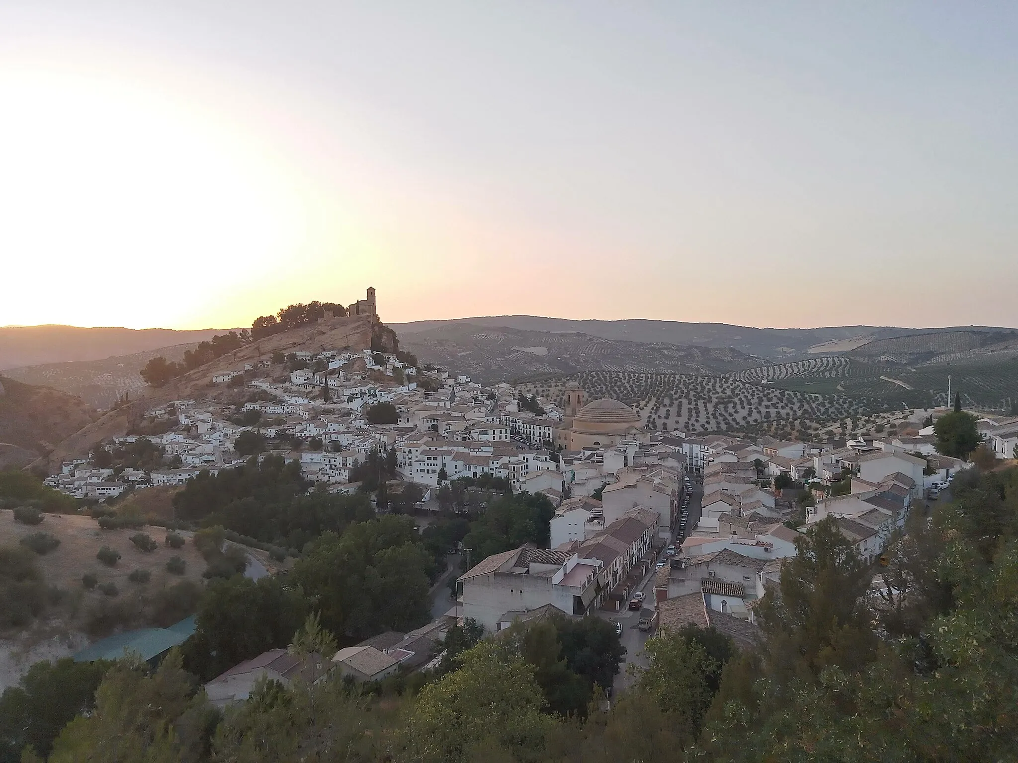
Start: Montefrío Village centerMontefrío: Bezauberndes Dorf mit malerischem Blick auf die umliegende Landschaft.
Montefrío, in Andalucía, Spain, is a charming village perched on a hilltop with panoramic views of the surrounding countryside. Cyclists will appreciate the peaceful atmosphere and idyllic landscapes of Montefrío, with winding roads leading to hidden gems and cultural landmarks. The area is perfect for leisurely rides through olive groves and almond orchards, offering a glimpse into traditional Andalusian life. Montefrío is a hidden cycling paradise waiting to be explored.6 km
6 km
Peña de los GitanosAttraktionBesuchen Sie die spektakuläre Peña de los Gitanos.
19 km
19 km
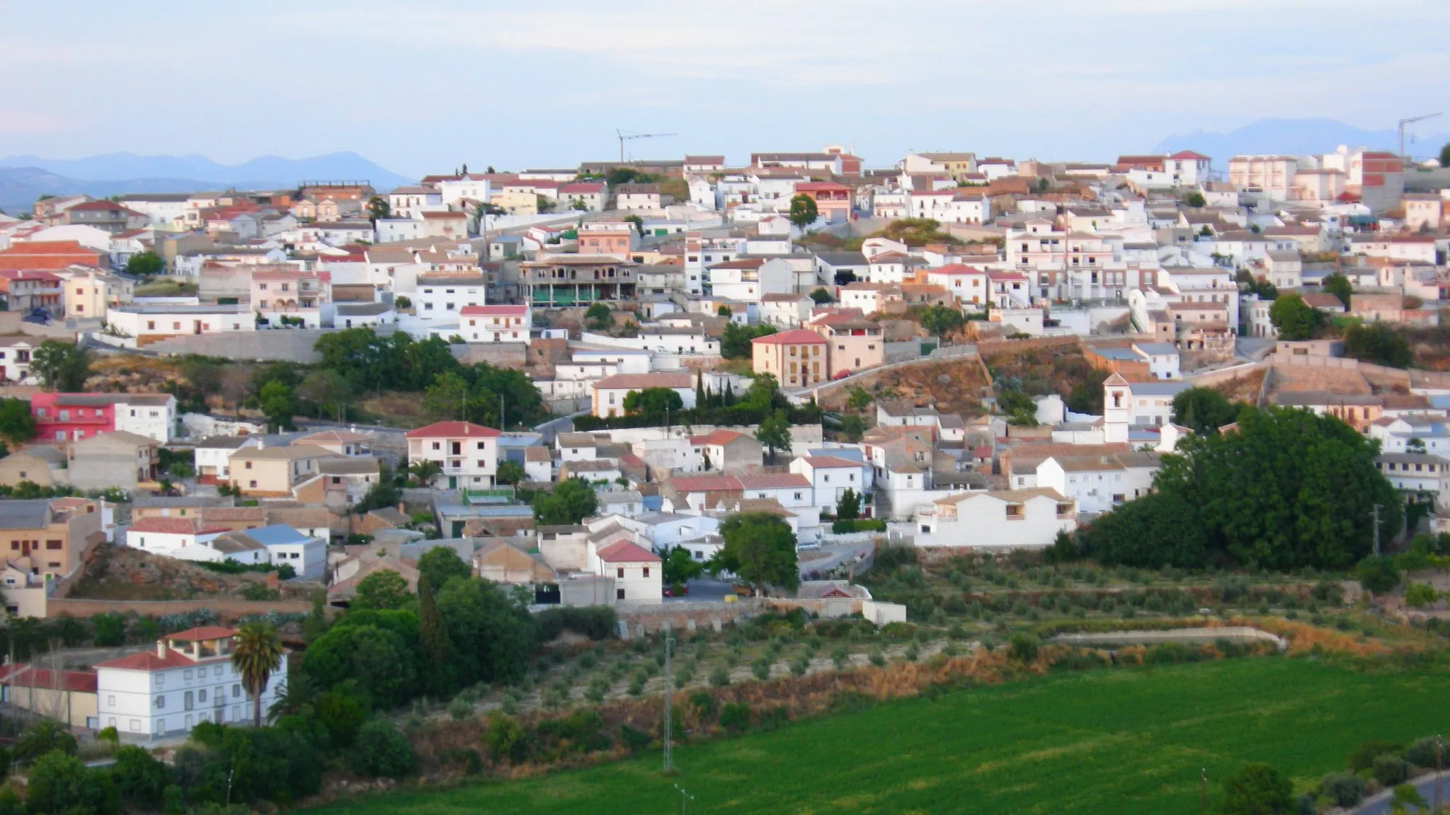
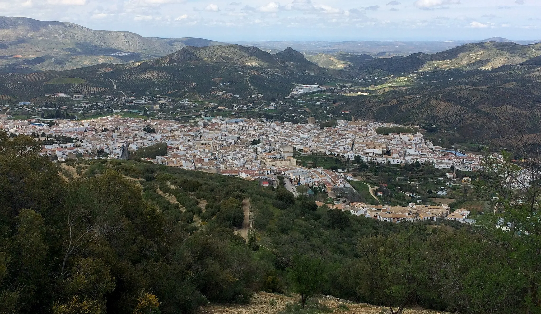
ÍlloraStadtErkunden Sie das malerische Íllora.
35 km
35 km
Pinos PuenteDorfEntdecken Sie das charmante Pinos Puente.
44 km
44 km
ChauchinaDorfErkunden Sie das idyllische Chauchina.
61 km
61 km
FuensantaWeilerGenießen Sie die entspannte Atmosphäre von Fuensanta.
74 km
74 km
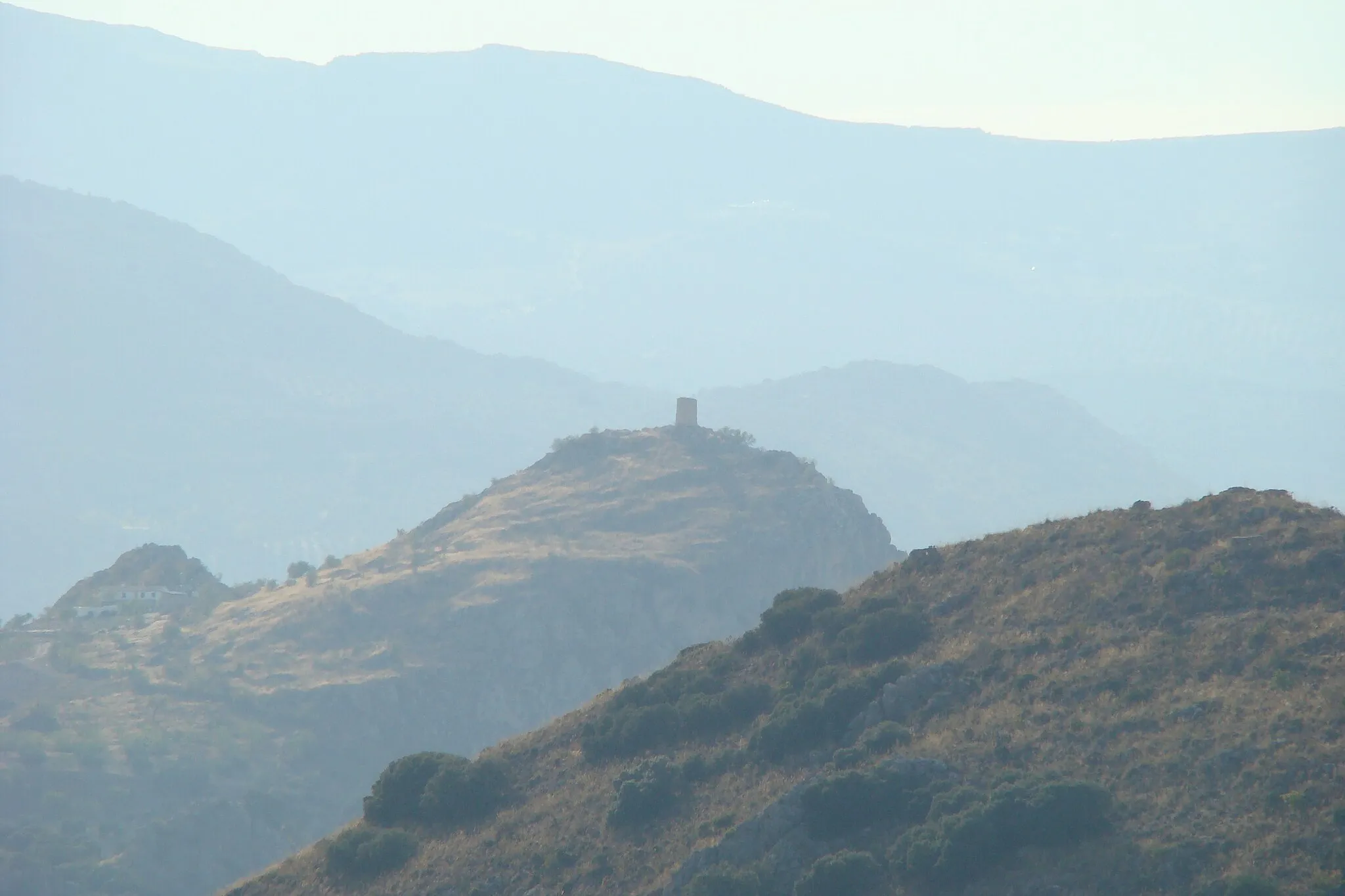
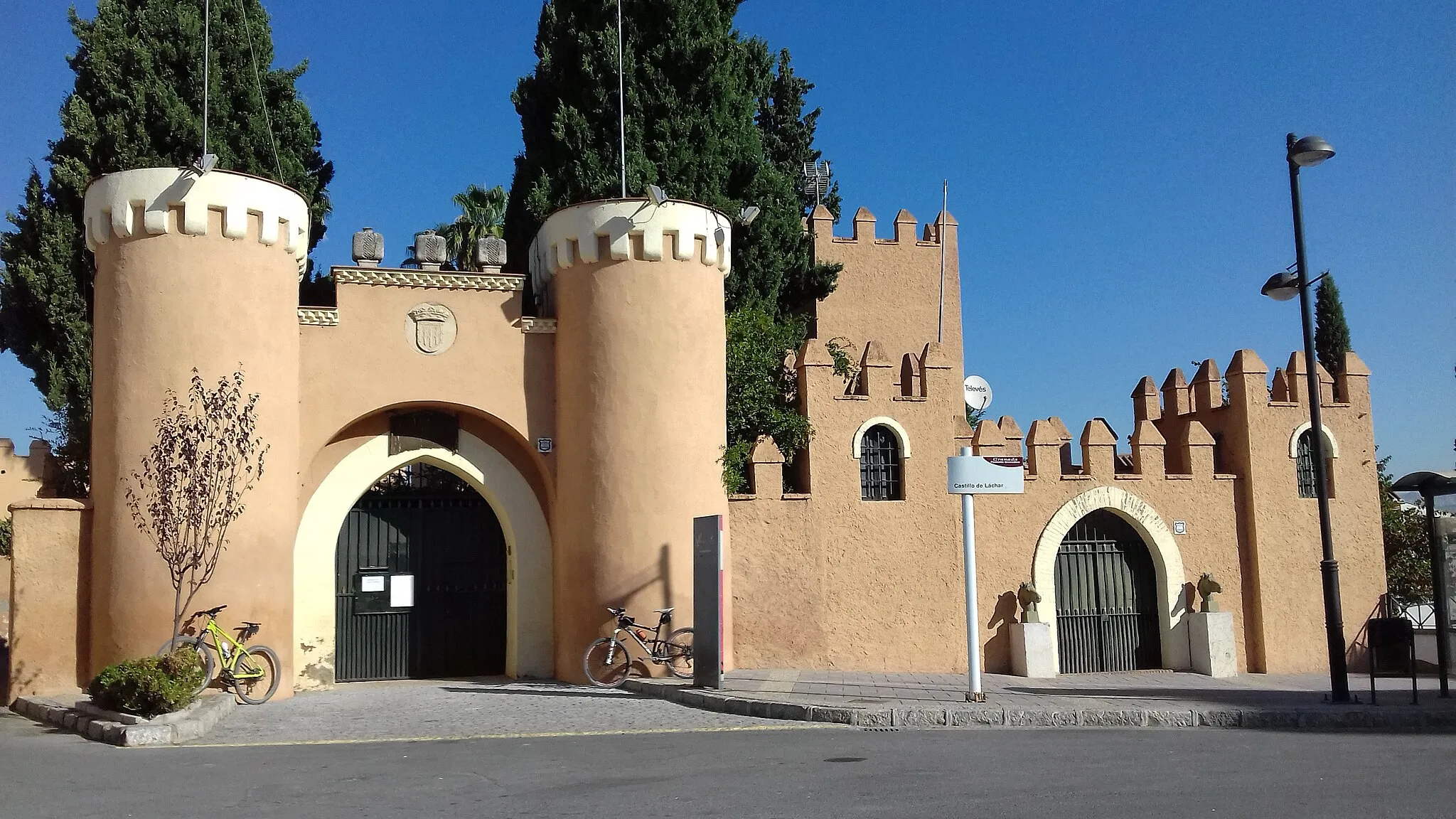
Torre de TocónSchlossErkunden Sie die historische Torre de Tocón.
87 km
87 km
National Geographic ViewpointAussichtspunktGenießen Sie eine atemberaubende Aussicht vom National Geographic Aussichtspunkt.
88 km
88 km
MontefríoDorfGenießen Sie die Rückfahrt nach Montefrío.
88 km
88 km
Ziel: Montefrío Village centerMontefrío: Bezauberndes Dorf mit malerischem Blick auf die umliegende Landschaft.
Radwege von Montefrio:
Bergige Schotterwege um Montefrío Abenteuerliche Radtour um Montefrío Kulturelle Rundfahrt durch Andalusien Entdeckungstour rund um Montefrío Erlebnisreiche Radtour durch Andalucía Entspannte Graveltour durch Andalusien Panoramische Fahrt durch Andalucía Aufregende Schottertour durch die Natur Faszinierende Andalusien-Runde Abenteuerliche Schottertour Herausfordernde Tour durch Montefrío und Umgebung Rundweg um Montefrío
In der Nähe befinden sich Fahrradrouten: