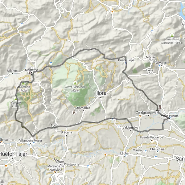
Rundweg von Pinos Puente nach Tocón und Casa de los Oficios
Eine road-Radroute, die von Pinos Puente aus startet.
Erkunden Sie die reizvolle Landschaft entlang dieses 78 km langen Radwegs mit einem atemberaubenden Blickpunkt von National Geographic und dem historischen Casa de los Oficios.
Karte
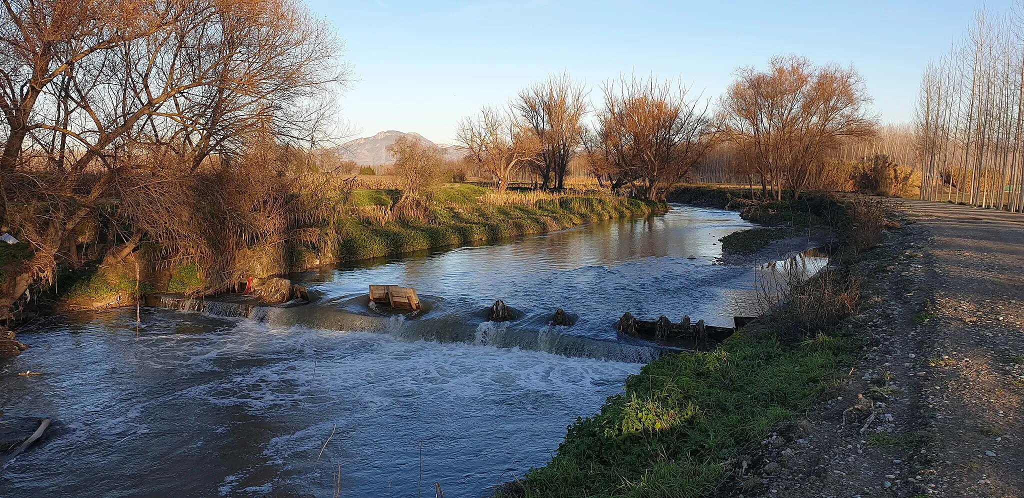
Diese Route bietet eine beeindruckende landschaftliche Vielfalt, von den malerischen Dörfern bis hin zu den historischen Gebäuden. Die anspruchsvollen Anstiege werden durch atemberaubende Ausblicke belohnt, während Sie die Schönheit der Region erkunden.
road
78 km
1148 m
Schwierig
Streckenprofil
Höhepunkte auf der Strecke
0 km
0 km
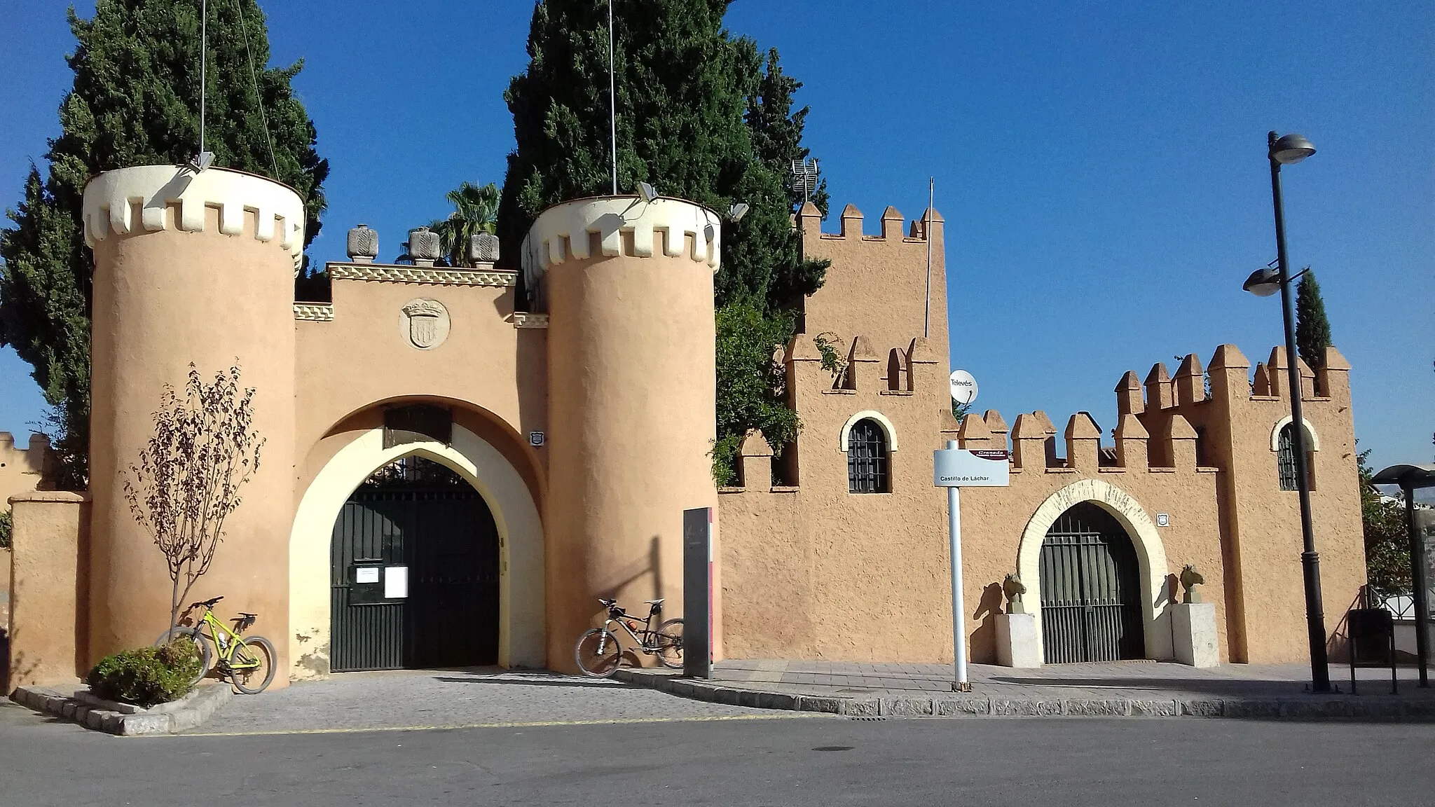
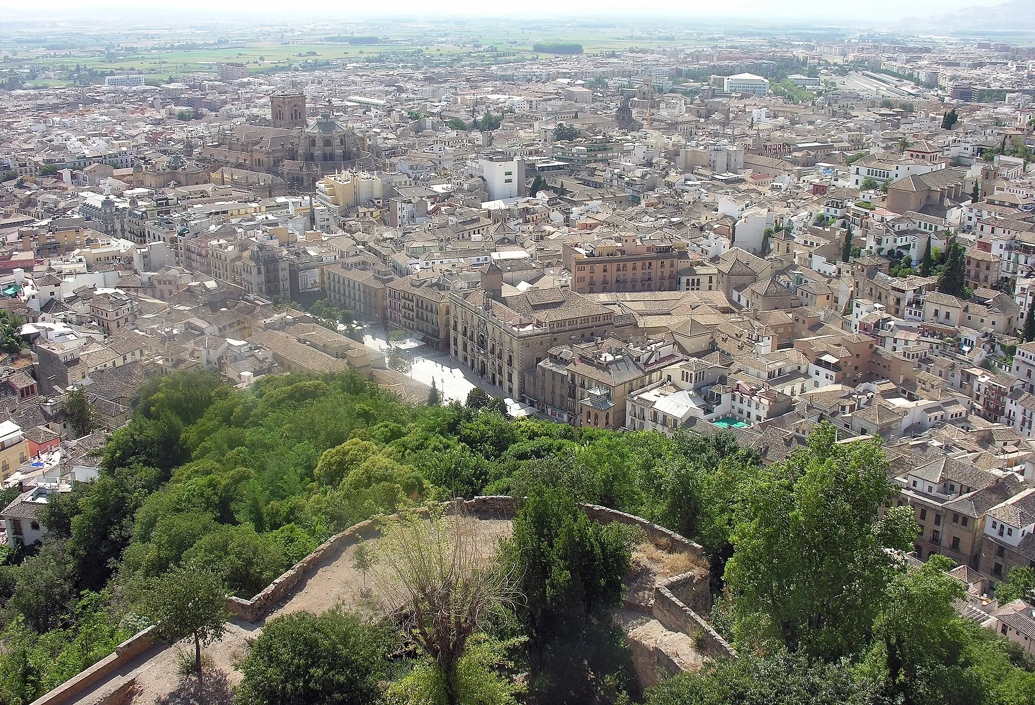
Start: Pinos Puente Village centerPinos Puente: Historische Architektur und lokale Kultur.
Pinos Puente ist eine Stadt in Andalusien, Spanien, die für ihre historische Architektur und traditionellen Festivals bekannt ist. Als Rennradfahrer können Sie hier durch die engen Gassen der Altstadt fahren und die lokale Kultur erleben.0 km
0 km
Pinos PuenteDorfEntdecken Sie die malerische Stadt Pinos Puente während Ihrer Fahrt.
22 km
22 km
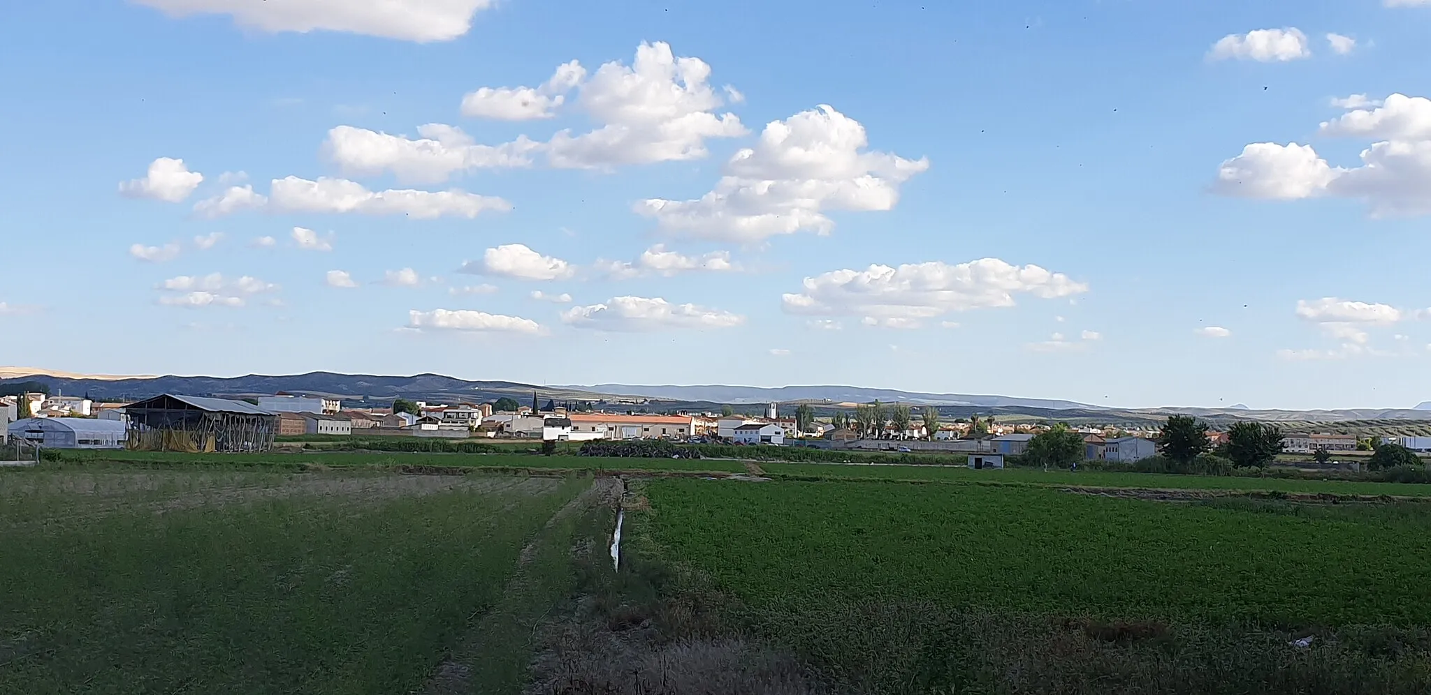
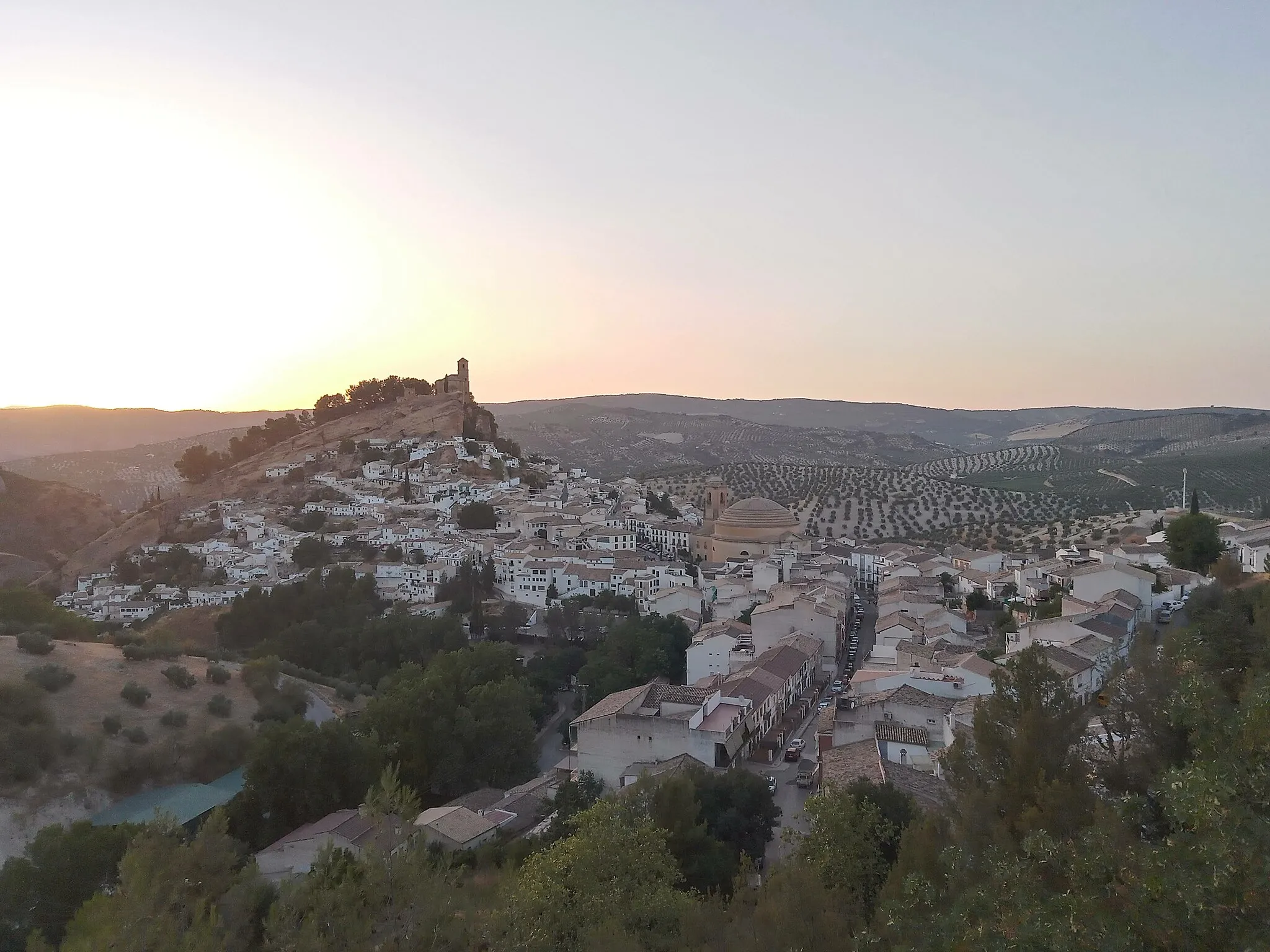
TocónDorfBesichtigen Sie das charmante Tocón auf Ihrem Weg.
42 km
42 km
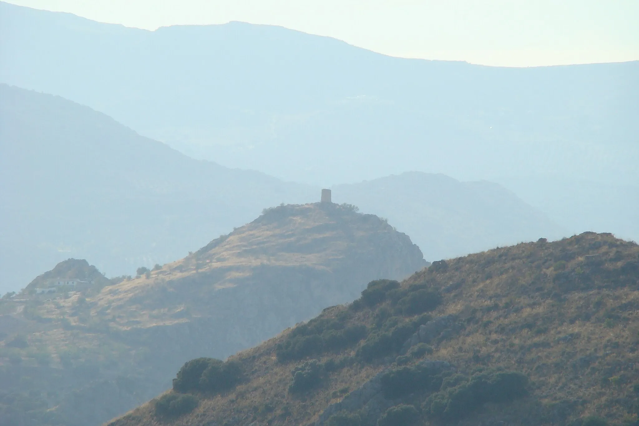
National Geographic ViewpointAussichtspunktGenießen Sie den Blick von einem National Geographic Aussichtspunkt.
43 km
43 km
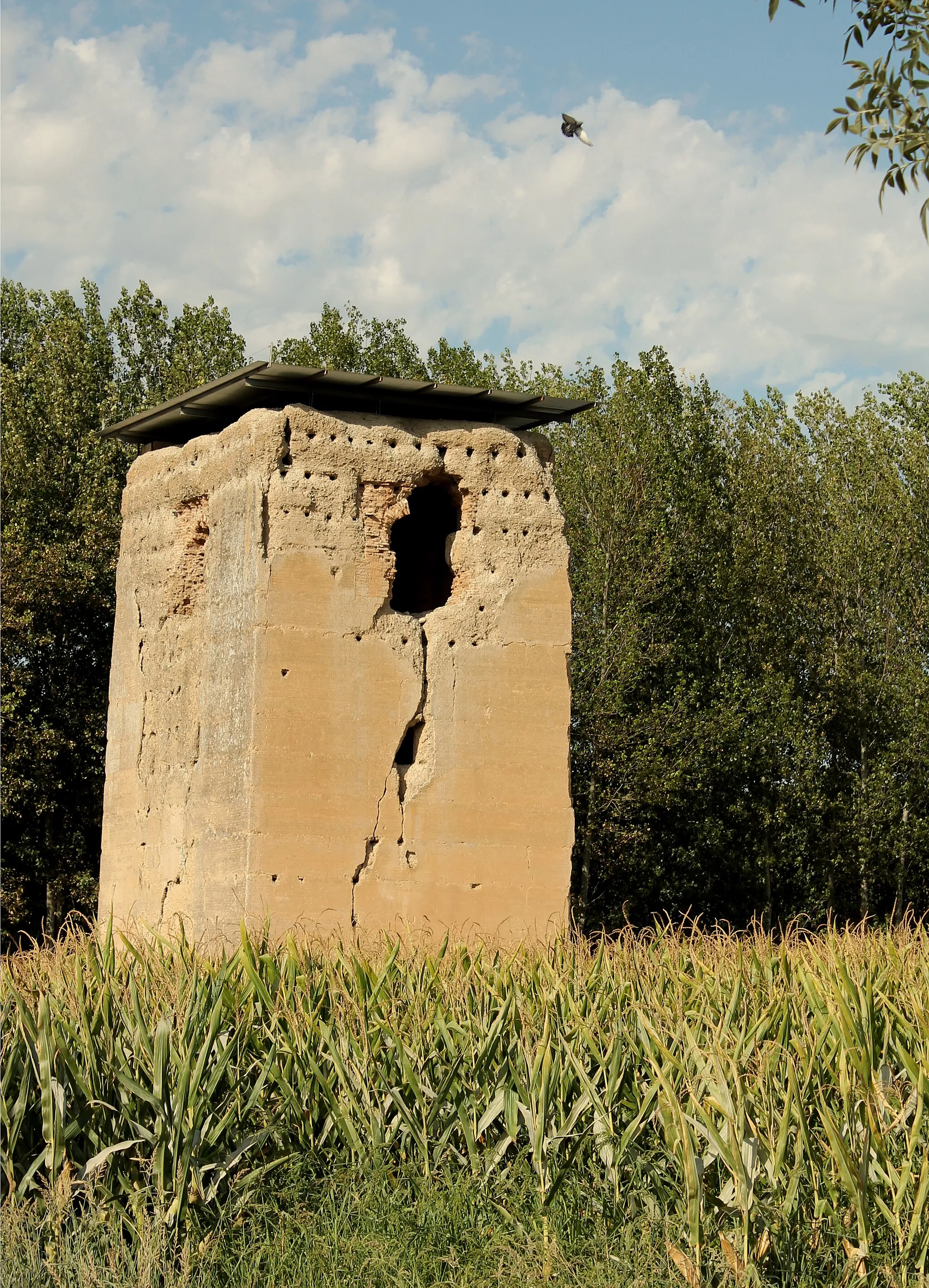
Casa de los OficiosAttraktionBesuchen Sie das historische Casa de los Oficios in der Gegend.
78 km
78 km
Ziel: Pinos Puente Village centerPinos Puente: Historische Architektur und lokale Kultur.
Radwege von Pinos Puente:
Entspannte Schottertour von Pinos Puente aus Rundtour um Pinos Puente Abenteuerliche Schotterrunde durch die Umgebung von Pinos Puente Gravelradtour von Pinos Puente nach Cogollos de la Vega und Cerro del Sombrerete Herausfordernde Straßenrunde ab Pinos Puente Gravelrunde von Pinos Puente nach Alomartes und Tózar Rundweg von Pinos Puente nach Tocón und Casa de los Oficios Radroute von Pinos Puente nach Collado de la Venta und Cerro del Tío del Yeso Rundweg von Pinos Puente nach Jayena und Cúllar Vega Panoramastraßen rund um Pinos Puente
In der Nähe befinden sich Fahrradrouten: