Kurze Schottertour um Cartes
Eine gravel-Radroute, die von Cartes aus startet.
Eine kurze 32 km lange Schotterroute für gemütliche Ausflüge und Erkundungstouren.
Karte
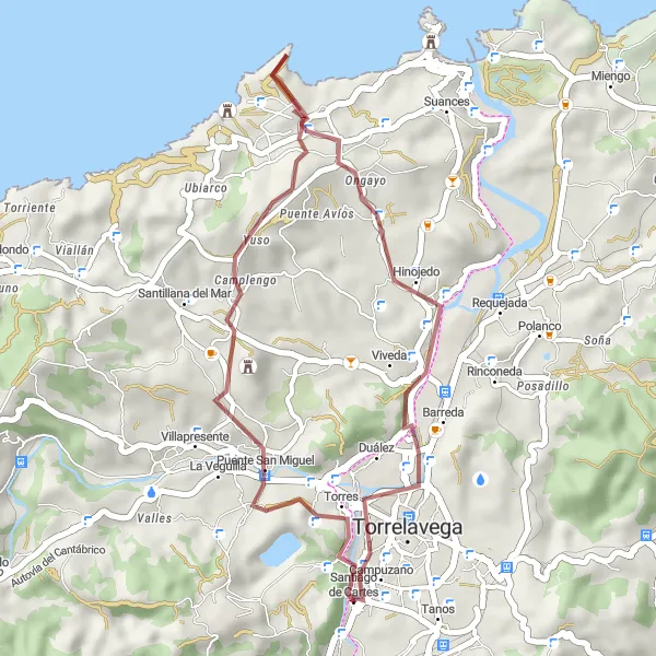
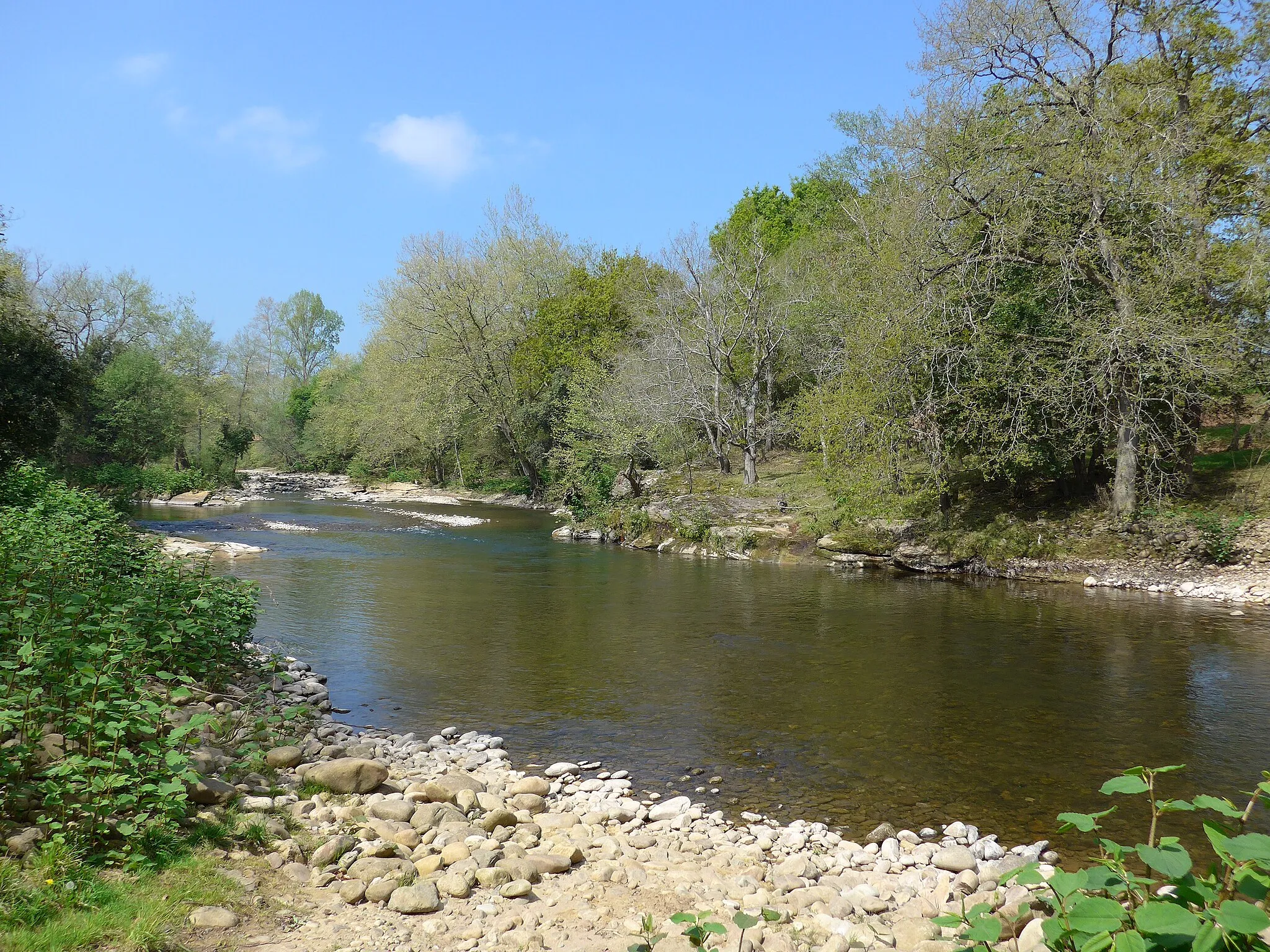
Mit nur 433 Höhenmetern eignet sich diese Route perfekt für Anfänger oder entspannte Fahrten in die Umgebung. Von Vispieres über Tagle nach Campuzano bietet sie einen Einblick in die malerische Landschaft um Cartes.
gravel
32 km
433 m
Entspannen
Streckenprofil
Höhepunkte auf der Strecke
0 km
0 km
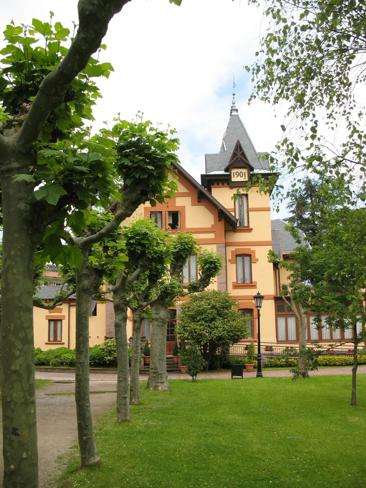
Start: Santiago de Cartes Village centerCartes: Malernische Landschaft und berühmte Anstiege
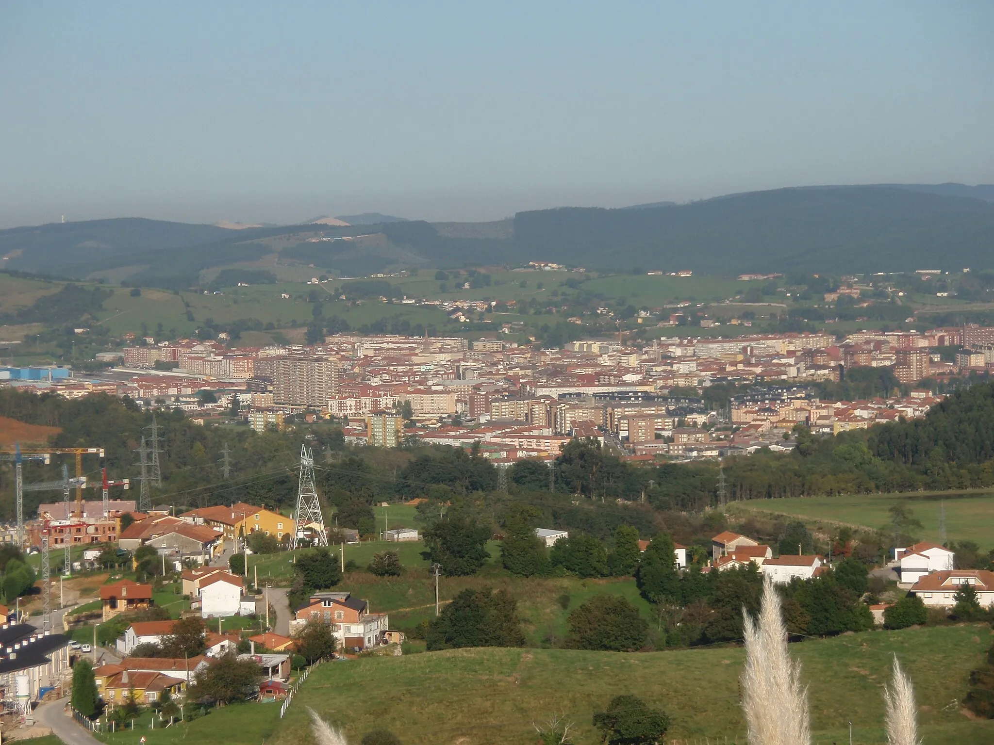
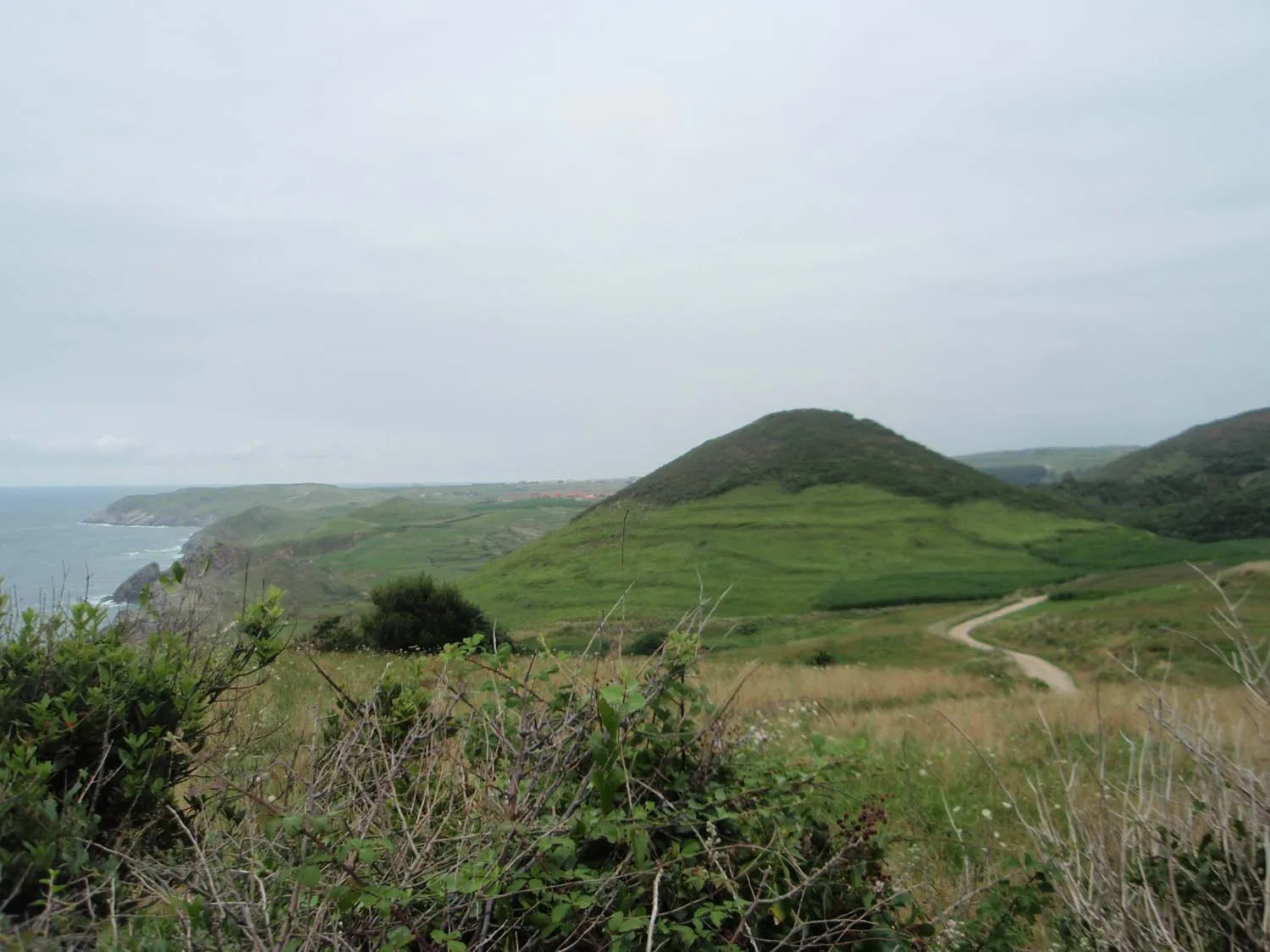
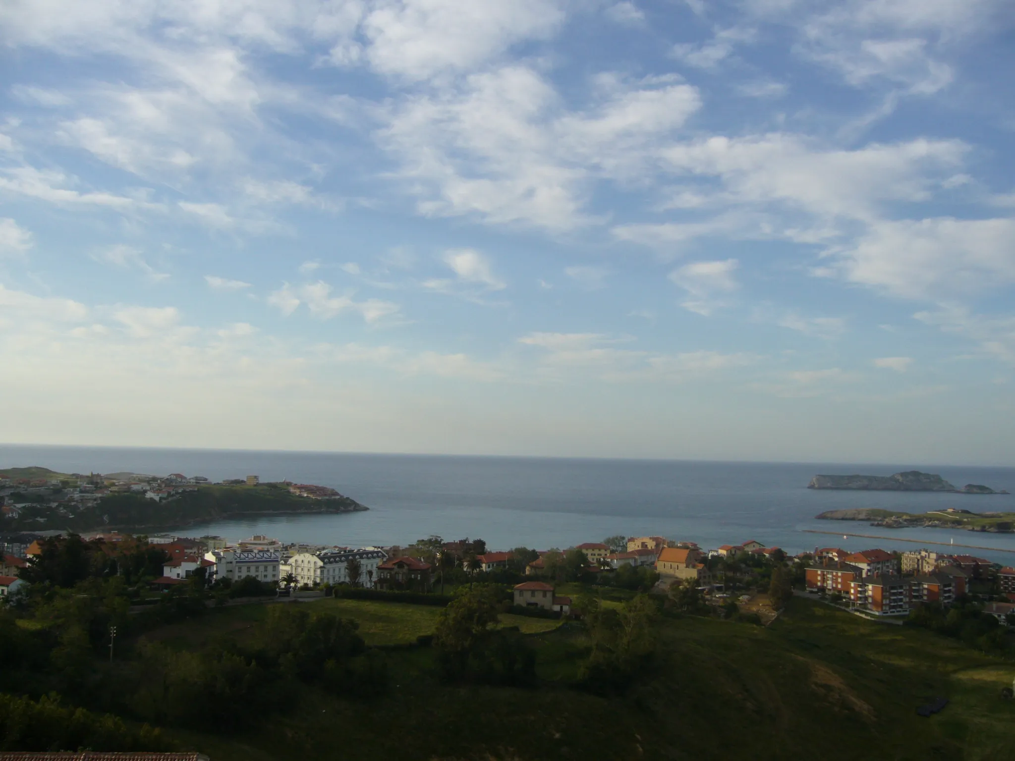
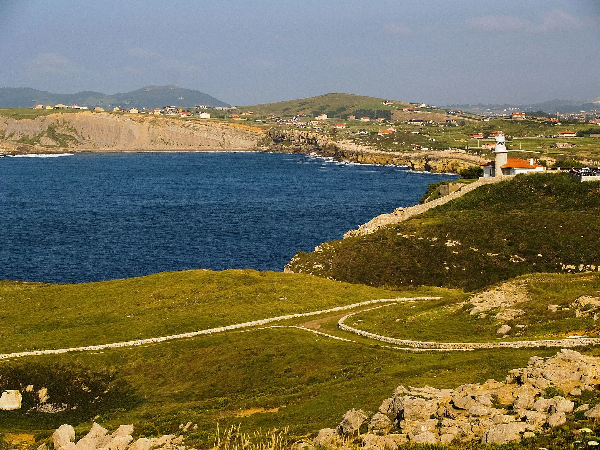
Cartes in Cantabria, Spanien, bietet eine malerische Landschaft mit sanften Hügeln und grünen Tälern. Als Radsportler können Sie hier ruhige Straßen und malerische Routen genießen, ideal für Road- oder Schotterradfahren. In der Nähe befinden sich einige der berühmten Anstiege der Region, die eine Herausforderung für erfahrene Radfahrer darstellen.7 km
7 km
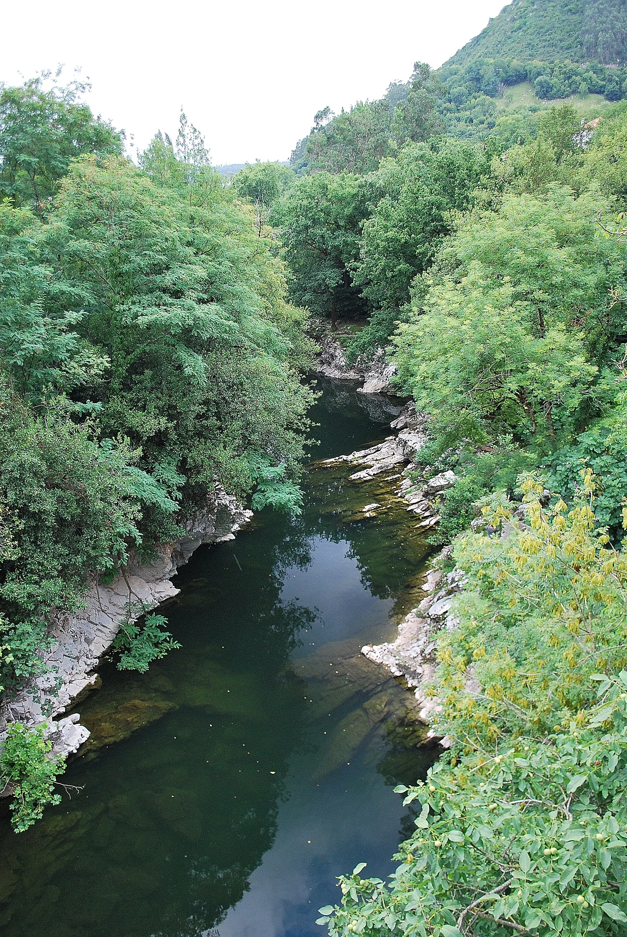
VispieresWeilerVispieres ist ein idyllischer Zwischenstopp mit ländlichem Charme.
8 km
8 km
PicnicAussichtspunktEin Picknick ist eine großartige Möglichkeit, die Natur während der Tour zu genießen.
18 km
18 km
TagleWeilerTagle ist ein charmantes Dorf mit historischem Flair entlang der Route.
31 km
31 km
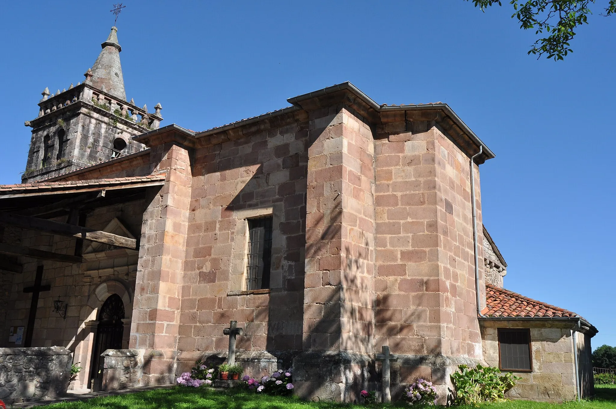
CampuzanoDorfCampuzano bietet eine entspannte Atmosphäre und lokale Traditionen.
32 km
32 km
Ziel: Santiago de Cartes Village centerCartes: Malernische Landschaft und berühmte Anstiege
Radwege von Cartes:
Rundtour durch Puente Viesgo und Somahoz Abenteuerliche Strecke nach San Vicente del Monte Rundfahrt durch die grünen Hügel von Cantabria Herausfordernde Straßenrunde durch Alceda Gravelabenteuer um Campuzano Hügelige Straßen von Cartes Tour der Herausforderung Panorama-Graveltour um Cartes Kurze Schottertour um Cartes El Castillo und mehr
In der Nähe befinden sich Fahrradrouten: