Rundtour von Vallada nach Ontinyent
Eine gravel-Radroute, die von Vallada aus startet.
Erkunden Sie auf dieser 60 km langen Strecke mit 1409 Höhenmetern die Umgebung um Vallada.
Karte
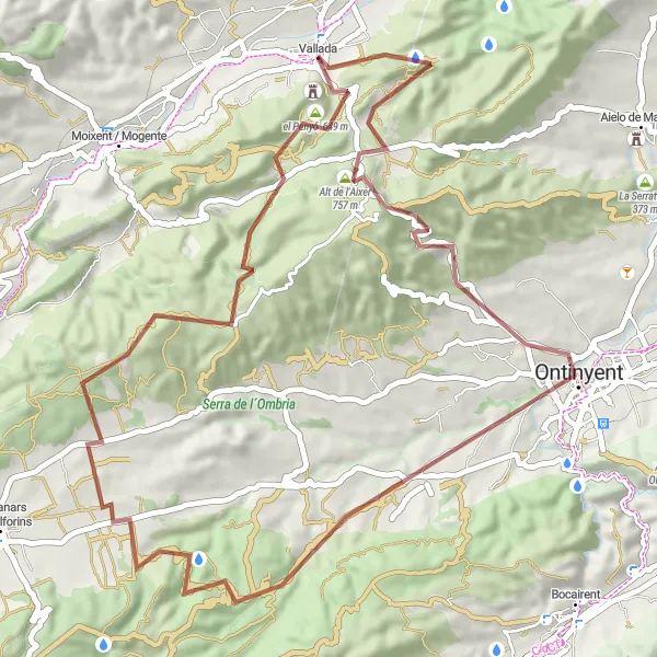
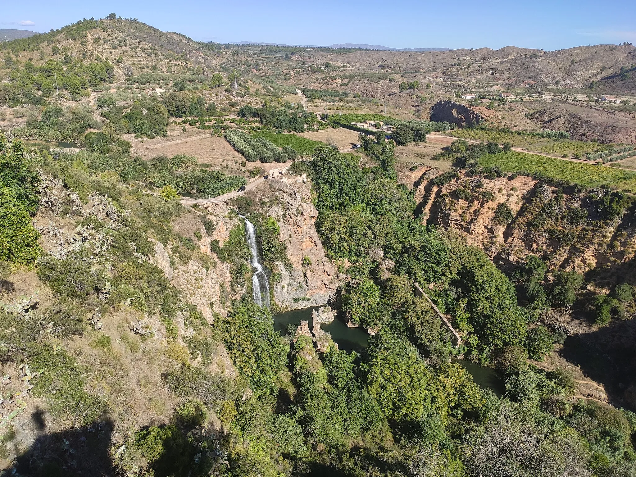
Diese abwechslungsreiche Gravelroute führt Sie von Vallada über Altet de Pepinàsio nach Ontinyent. Genießen Sie die Natur, die Kultur und die landschaftliche Schönheit der Region.
gravel
60 km
1409 m
Schwierig
Streckenprofil
Höhepunkte auf der Strecke
0 km
0 km
Start: Vallada Village centerVallada: Schöne Landschaften und herausfordernde Anstiege in der Umgebung.
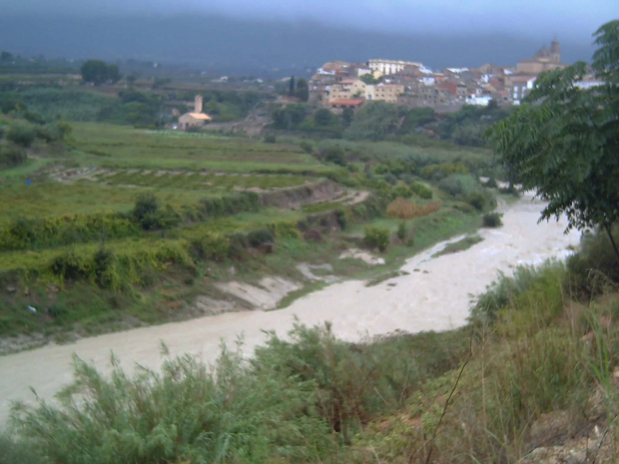
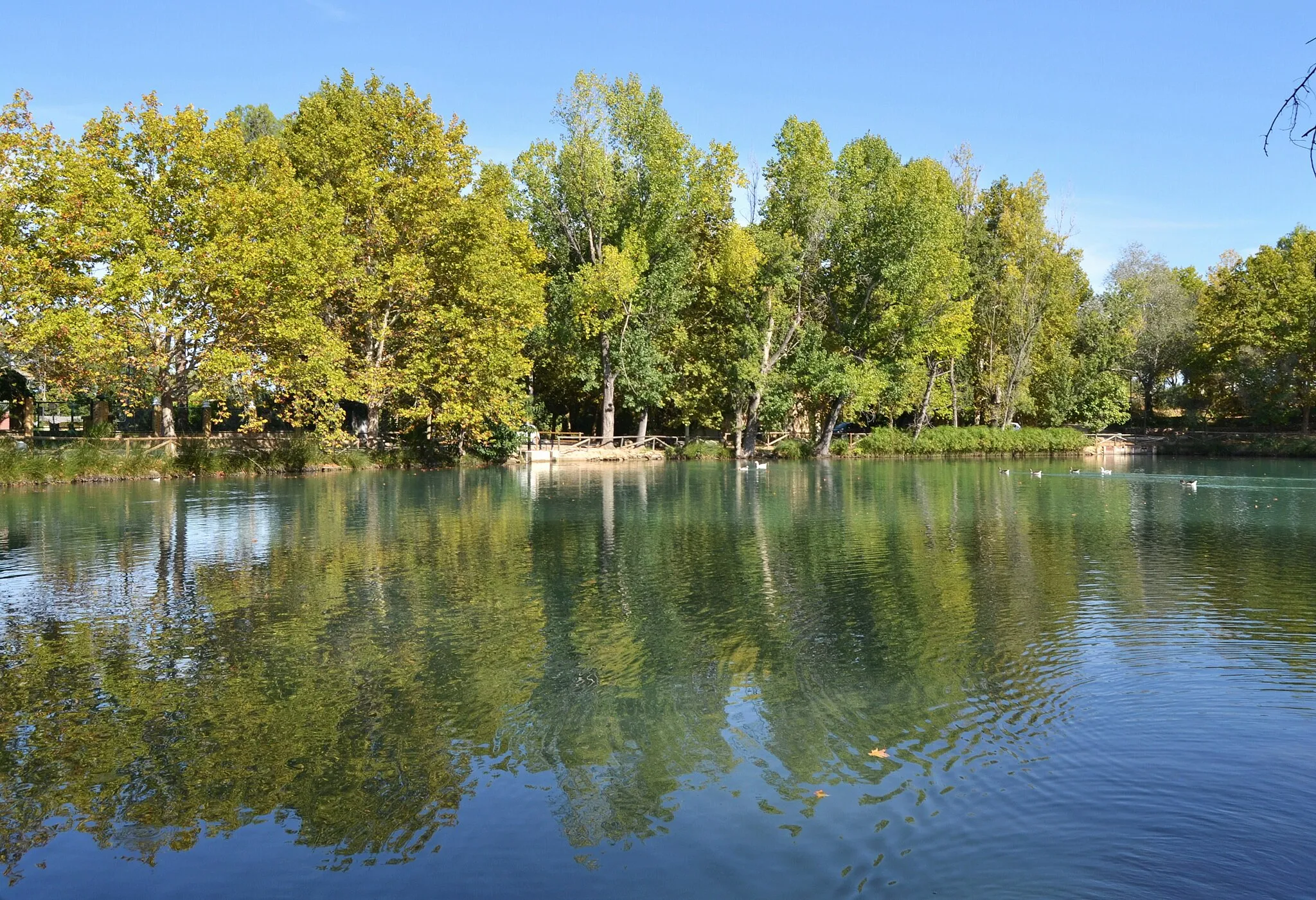
Vallada liegt in der Region Comunitat Valenciana in Spanien und bietet hervorragende Radwege durch die umliegenden Täler und Hügel. Die Gegend ist für ihre landschaftliche Schönheit und die anspruchsvollen Anstiege bekannt, darunter der Puerto de la Encarrata.0 km
0 km
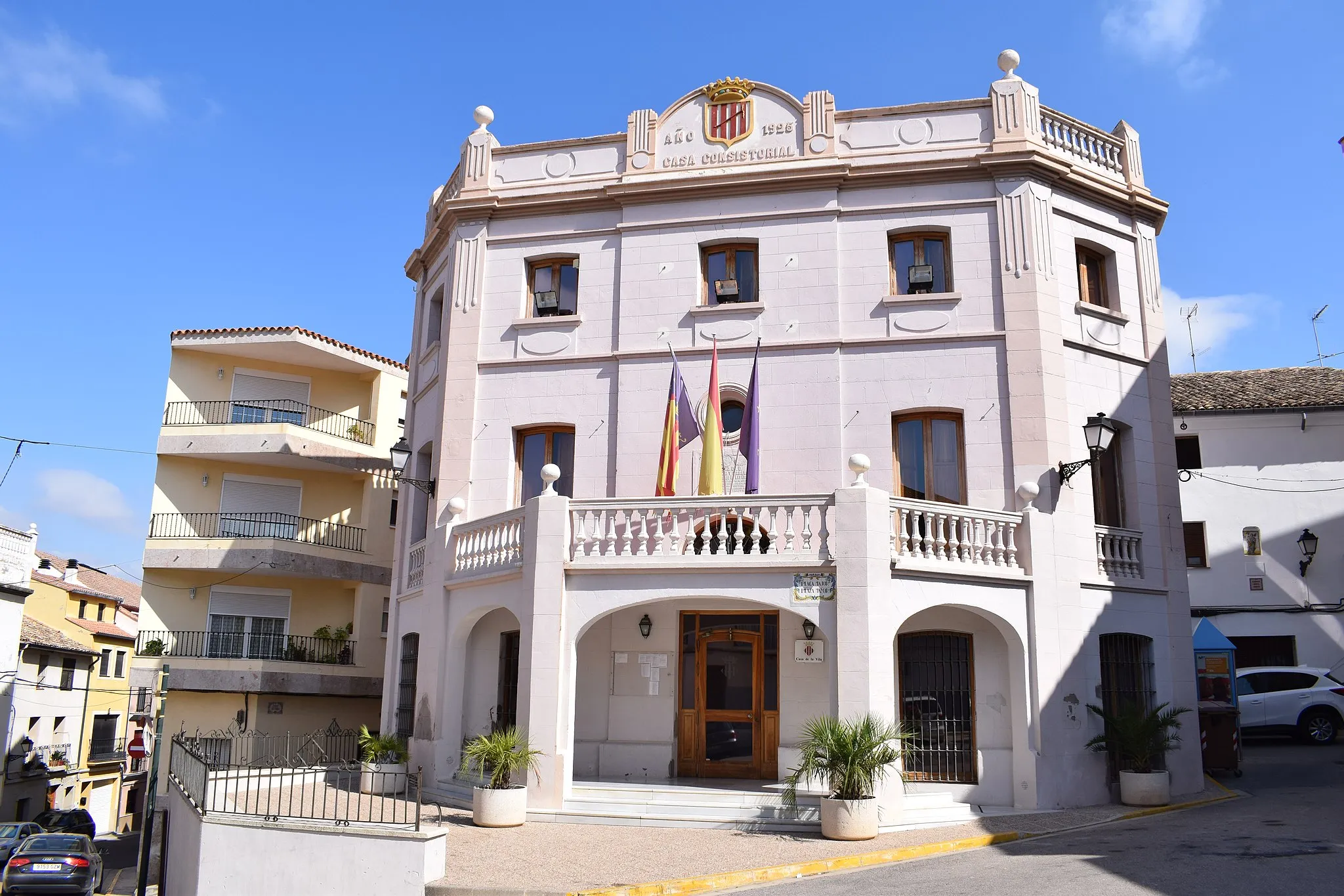
ValladaDorfGenießen Sie den Startpunkt in Vallada.
4 km
4 km
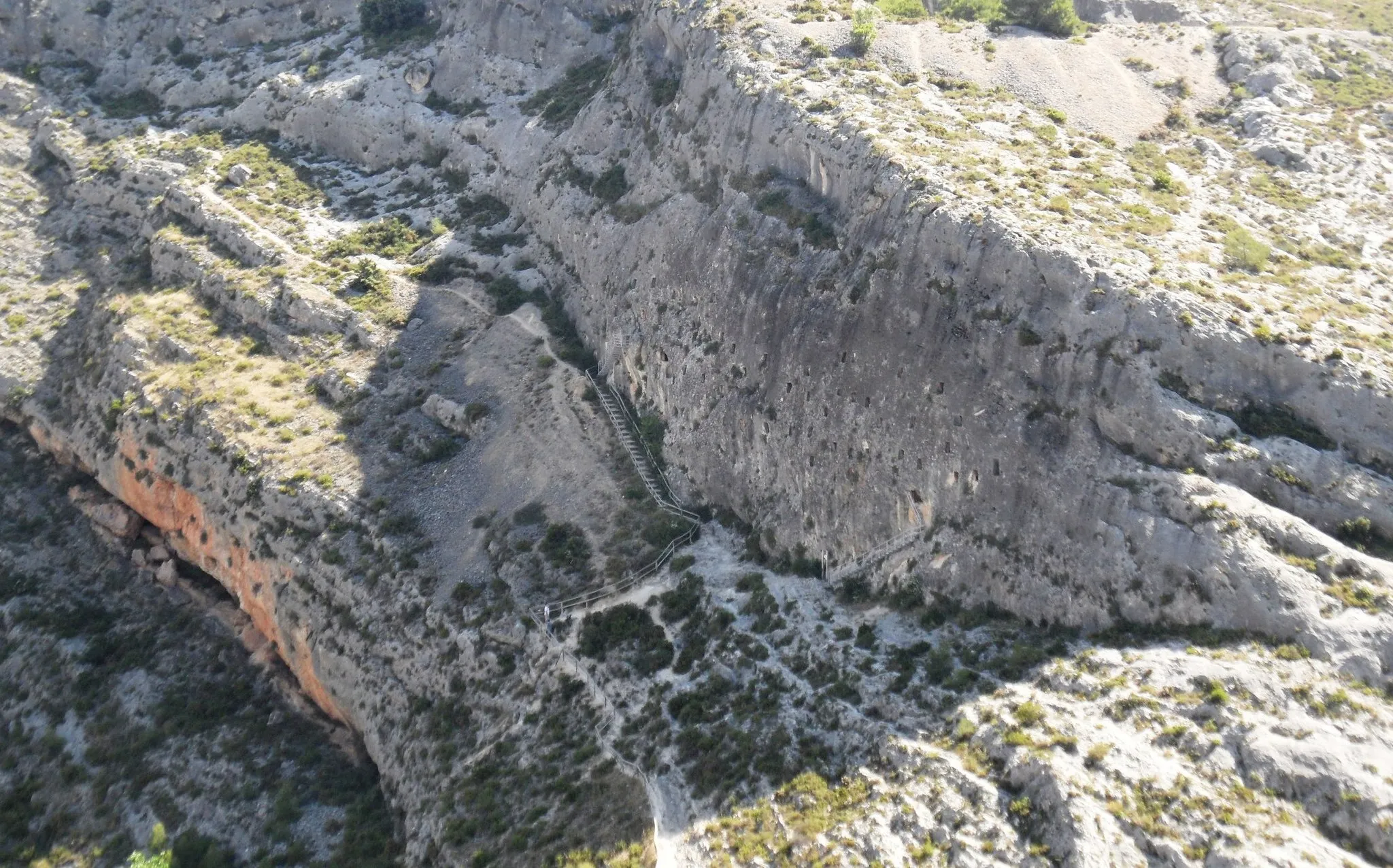
Altet de Pepinàsio617 mGipfelDer Altet de Pepinàsio ist ein beeindruckendes Highlight auf der Strecke.
19 km
19 km
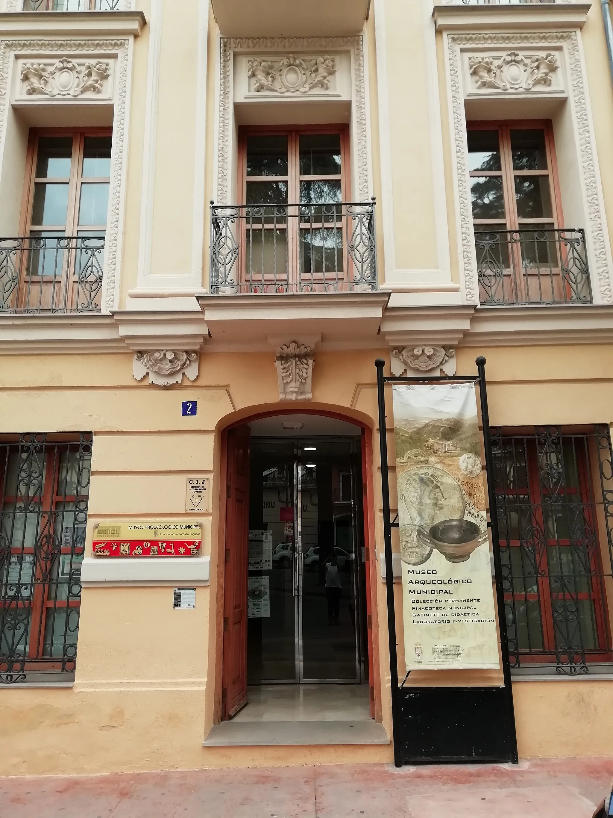
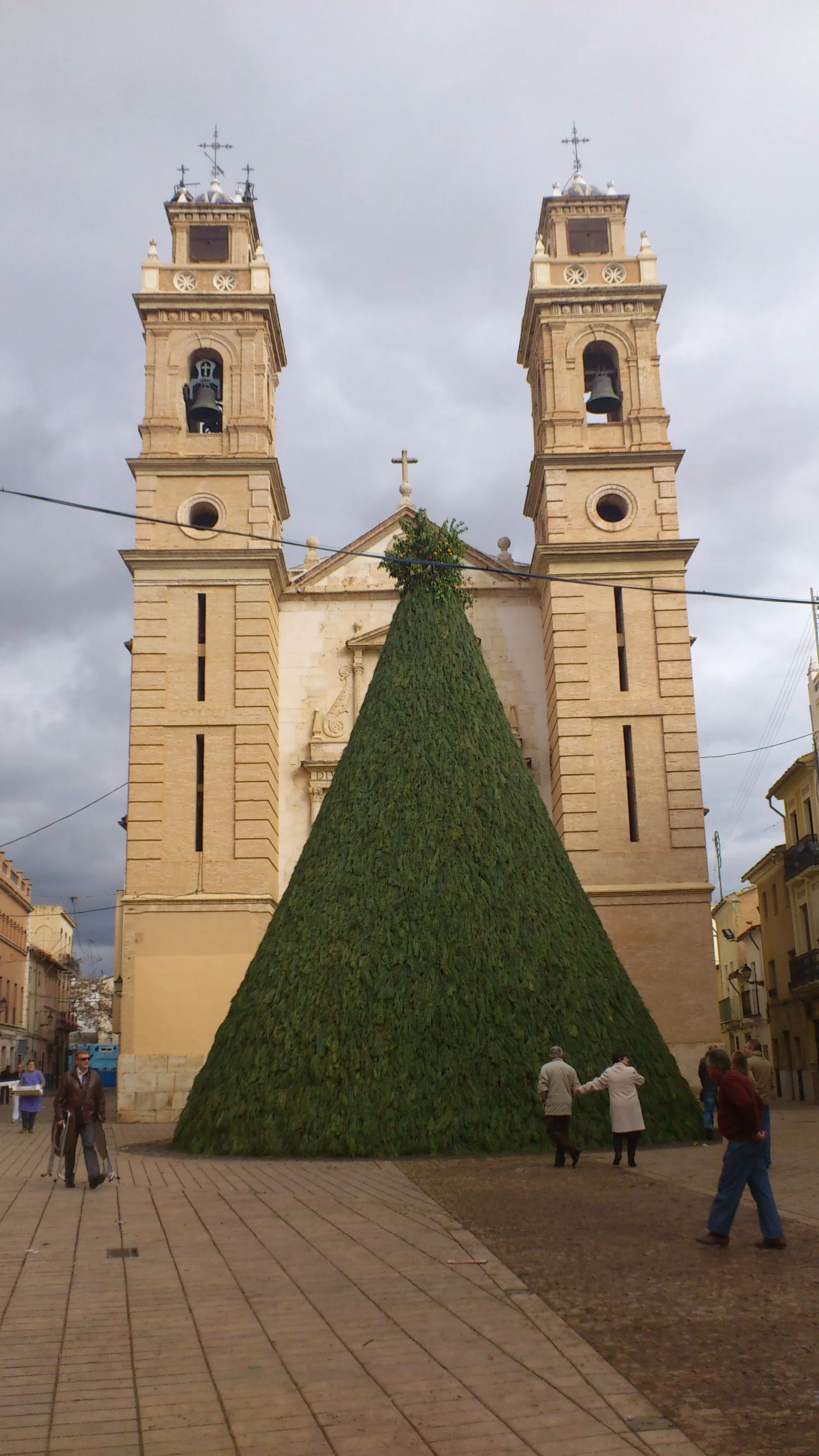
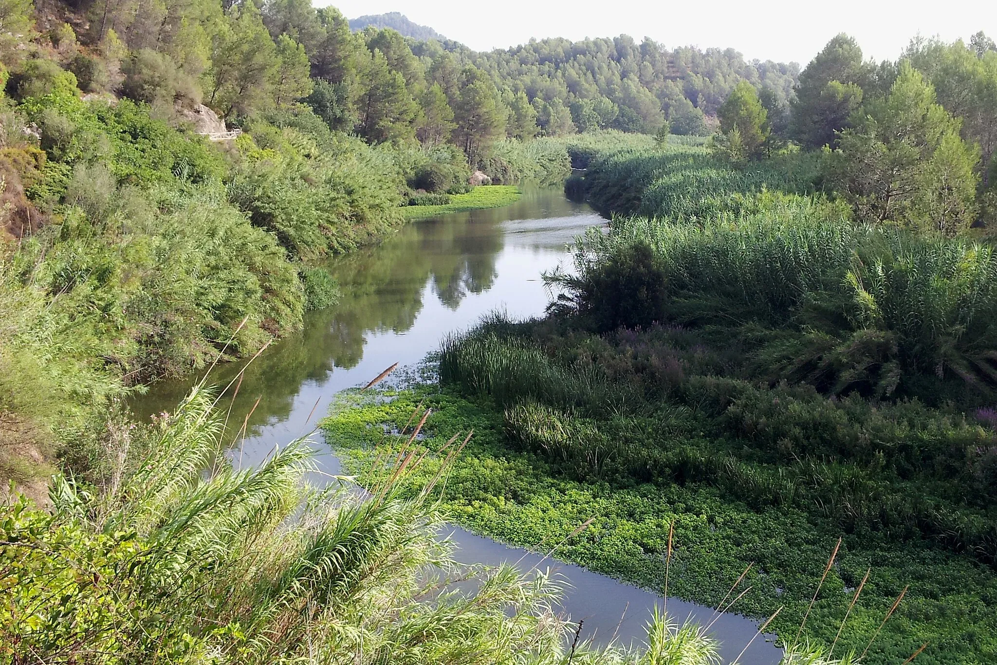
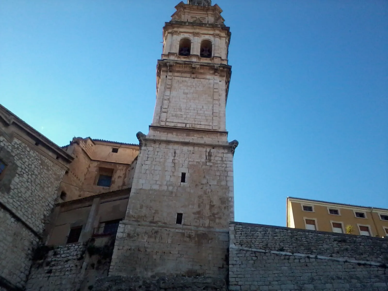
OntinyentStadtOntinyent erwartet Sie mit seiner charmanten Atmosphäre.
59 km
59 km
Penya de l'Àguila438 mGipfelBewundern Sie die Aussicht von der Penya de l'Àguila.
60 km
60 km
Ziel: Vallada Village centerVallada: Schöne Landschaften und herausfordernde Anstiege in der Umgebung.
Radwege von Vallada:
Rundtour von Vallada nach Ontinyent Gravel-Rundfahrt um Vallada Roadtrip um Vallada Graveltour um Vallada und Umgebung Roadtour von Vallada nach Beneixama Kultur und Natur verbinden Abenteuer durch die Landschaft Entdecken Sie das ländliche Spanien Epische Entdeckungsreise Die Herausforderung der Berge
In der Nähe befinden sich Fahrradrouten: