Gemütliche Gravelrunde um Peseux
Eine gravel-Radroute, die von Peseux aus startet.
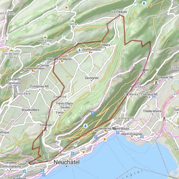
Eine entspannte Graveltour mit 42 km und 1183 m Aufstieg
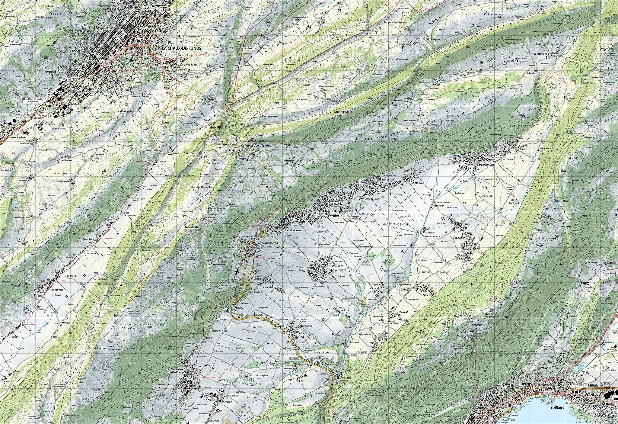
Karte
Genieße die Strecke mit Stopps in Cernier, Crêt-du-Puy und Peseux. Die Route führt durch malerische Landschaften und bietet interessante Sehenswürdigkeiten entlang des Weges.
gravel
42 km
1183 m
Schwierig
Streckenprofil
Höhepunkte auf der Strecke
0 km
0 km
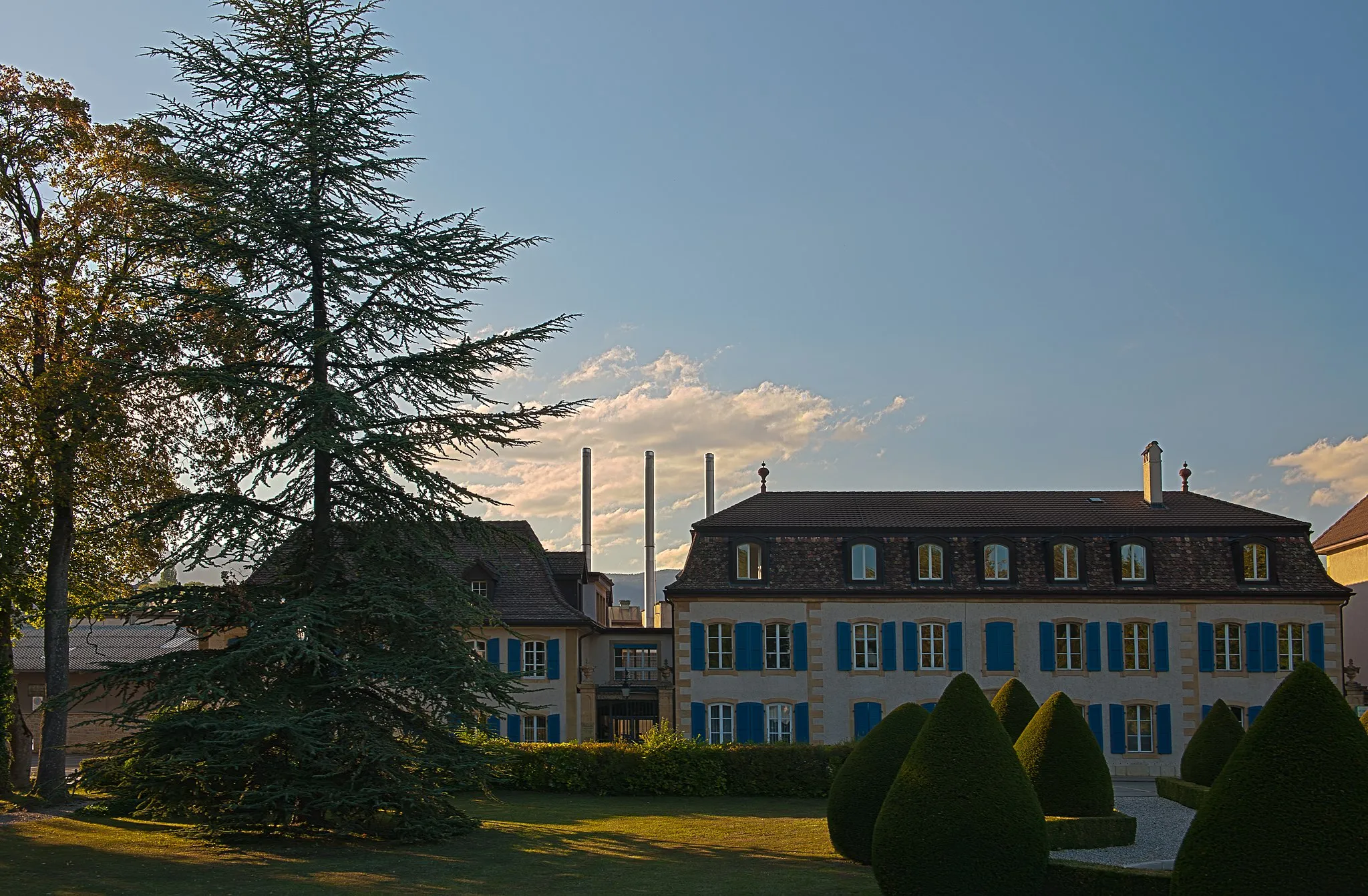
Start: Peseux Village centerPeseux: Idyllische Radwege
Peseux im Espace Mittelland ist ein ruhiger Ort mit vielen gut ausgebauten Radwegen, die durch idyllische Landschaften führen. In der Nähe gibt es auch einige berühmte Anstiege für Radsportler.11 km
11 km
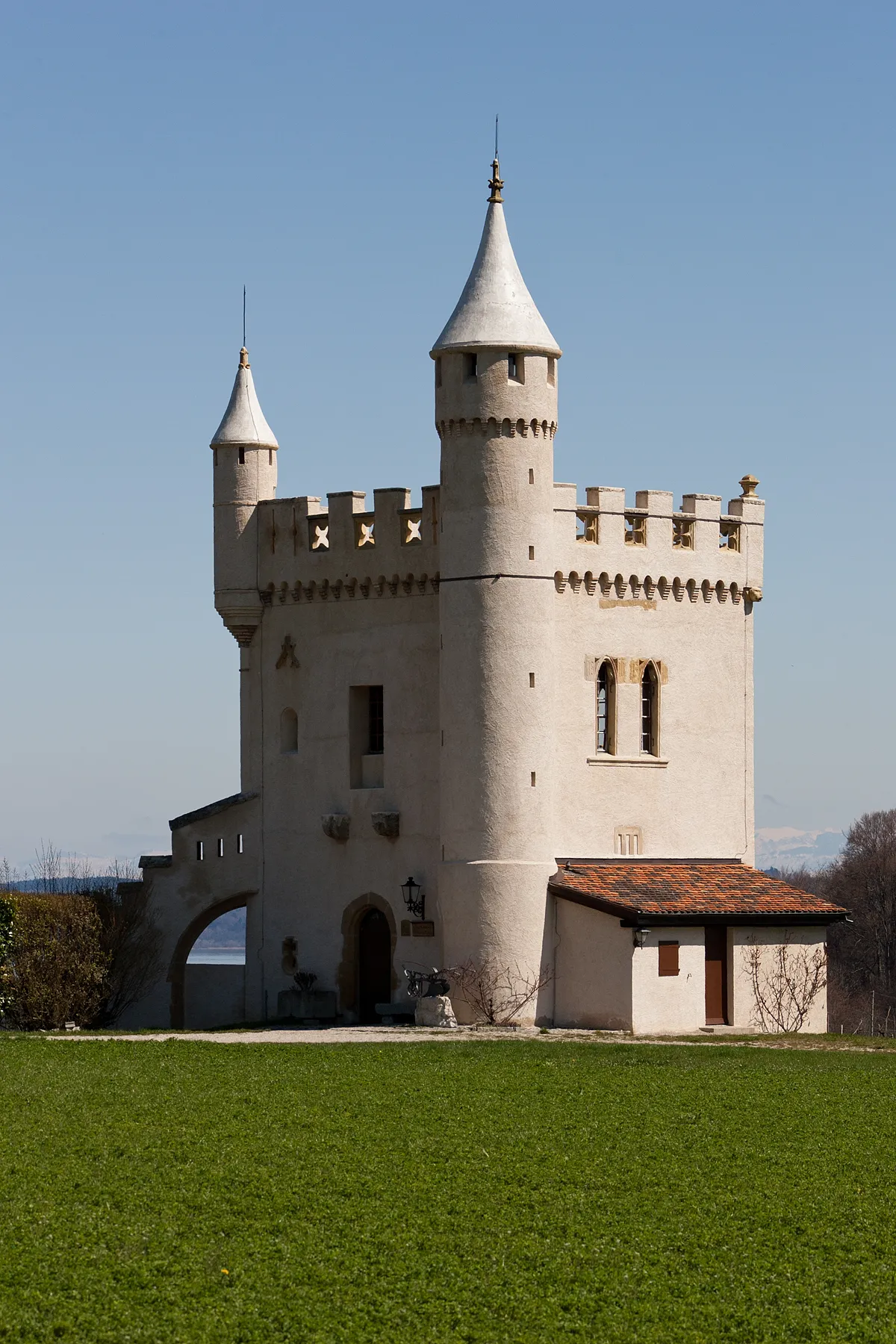
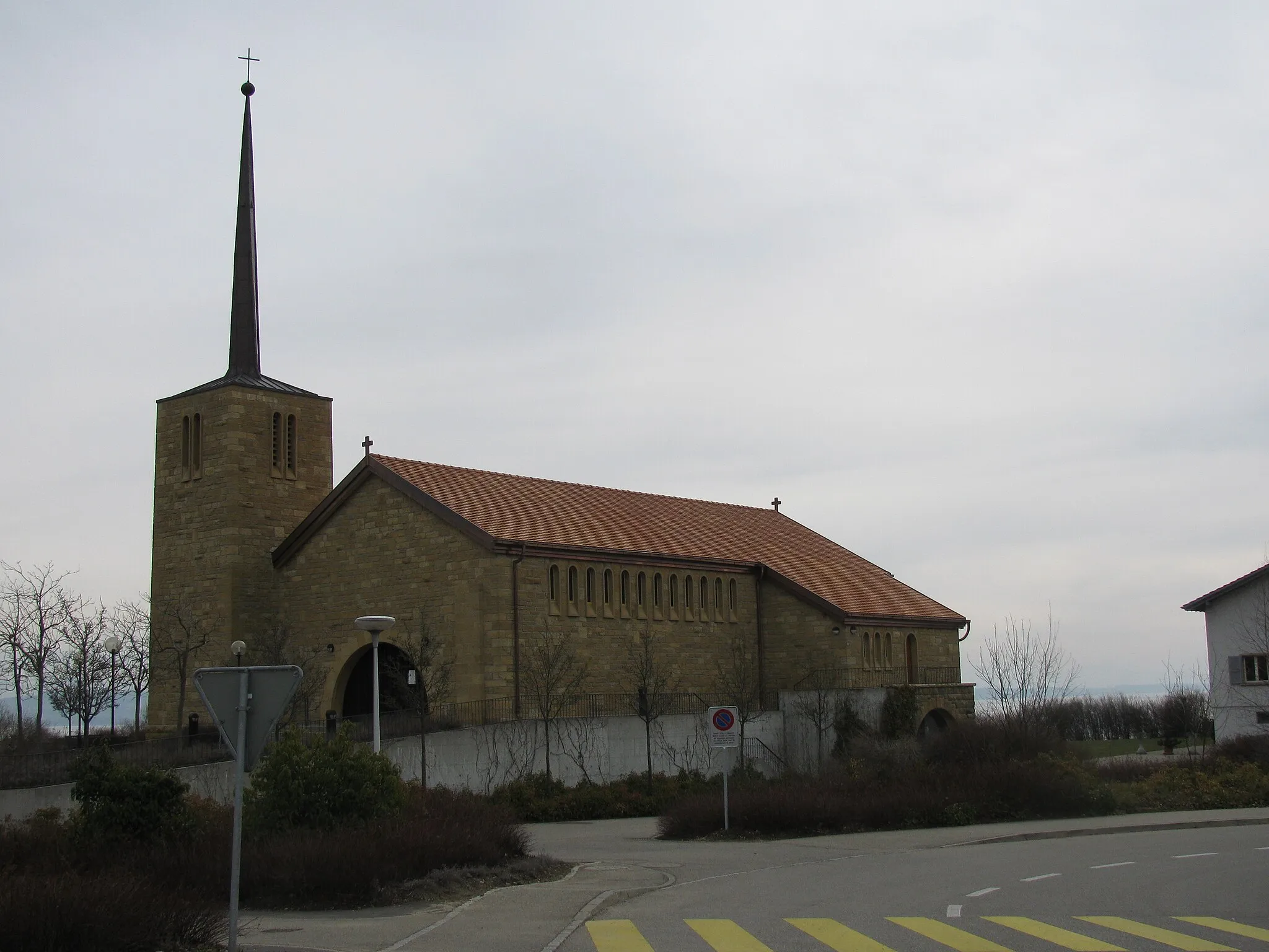
CernierDorfErkunde die Schönheit von Cernier und lass dich verzaubern.
20 km
20 km
Le PâquierDorfGenieße die Ruhe und Naturschönheit von Le Pâquier.
24 km
24 km
Crêt-du-Puy1263 mGipfelErklimme den Crêt-du-Puy und genieße den Ausblick.
38 km
38 km
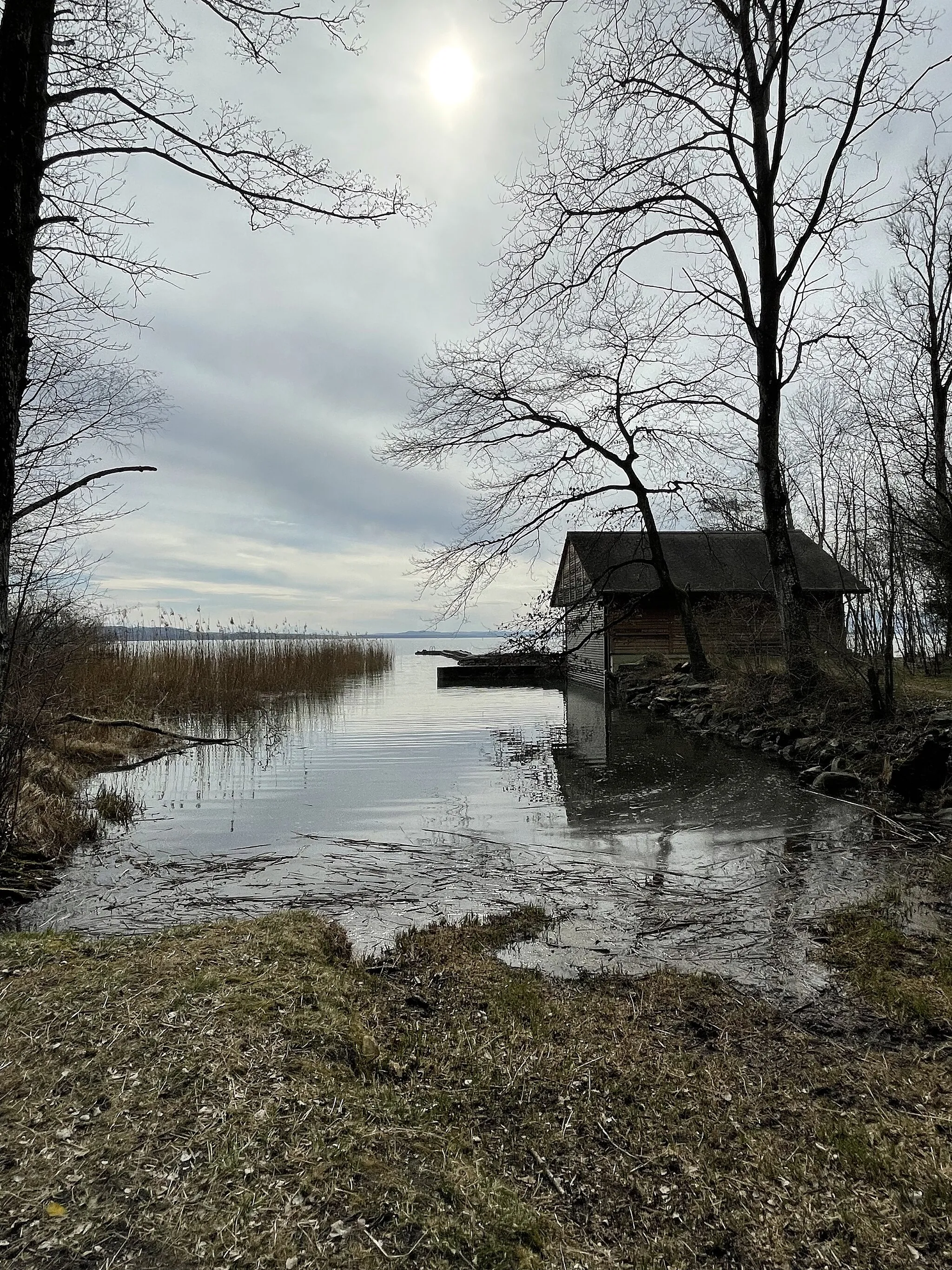
Tête Plumée758 mGipfelEntdecke die Tête Plumée und ihre Flora und Fauna.
42 km
42 km
PeseuxDorfPeseux bietet eine gute Gelegenheit für eine Pause und Entspannung.
42 km
42 km
Ziel: Peseux Village centerPeseux: Idyllische Radwege
Radwege von Peseux:
Gemütliche Gravelrunde um Peseux Straßentour um Peseux Rundfahrt über Mont Racine Road-Tour durchs Espace Mittelland Road Cycling Tour to Mont Racine Rundfahrt von Peseux nach Neuchâtel Tour du Jura Gravel-Tour durch die Natur Gravel Tour um Peseux Gravel-Tour durch das Espace Mittelland Graveltour durch Jura und Seeland Der Jura Gravel Trail Die Jura-Hochtour Graveltour um Mont Vully Rundfahrt von Peseux nach Neuchâtel
In der Nähe befinden sich Fahrradrouten: