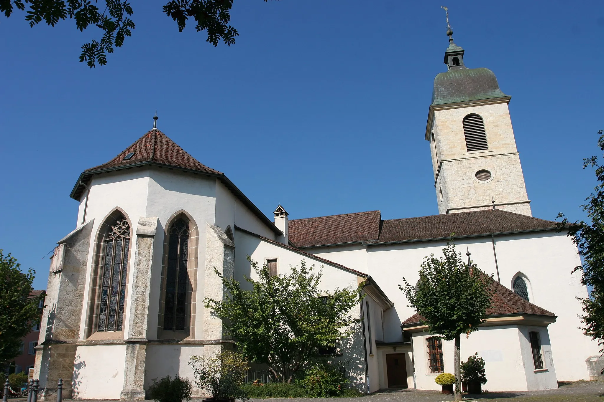
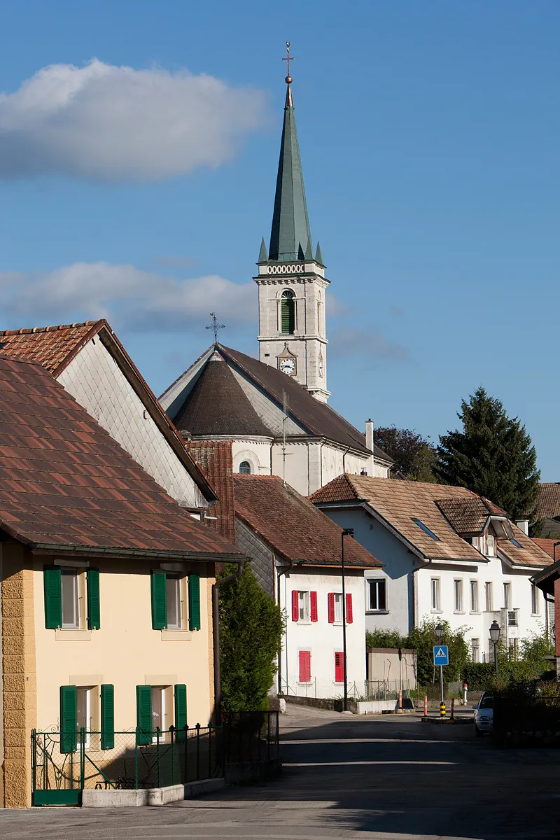
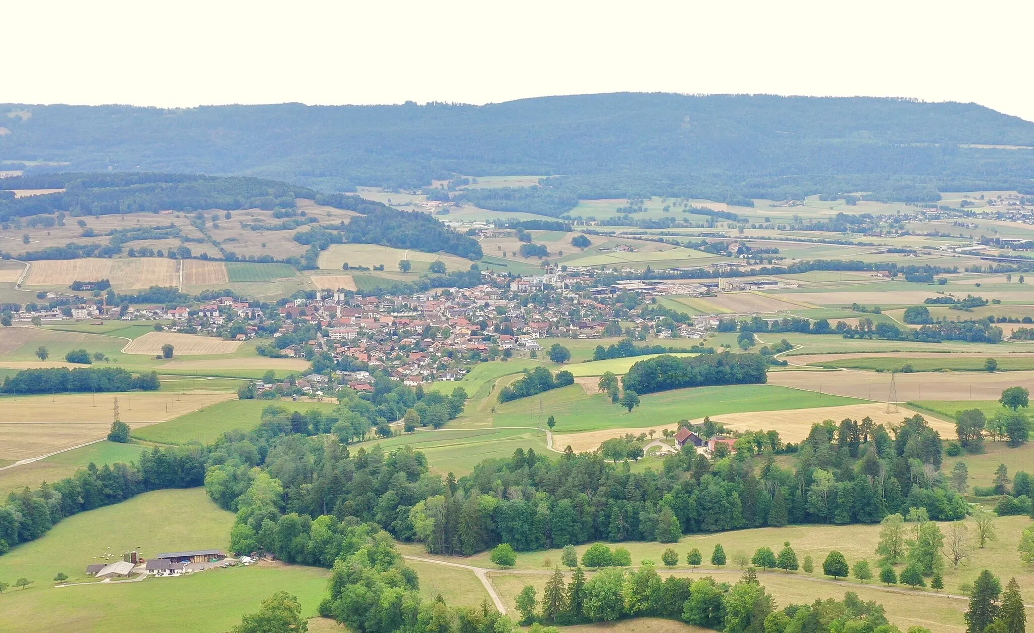
Malersiche Stadt mit entspannten Radtouren.
Fahrradrouten rund um Porrentruy
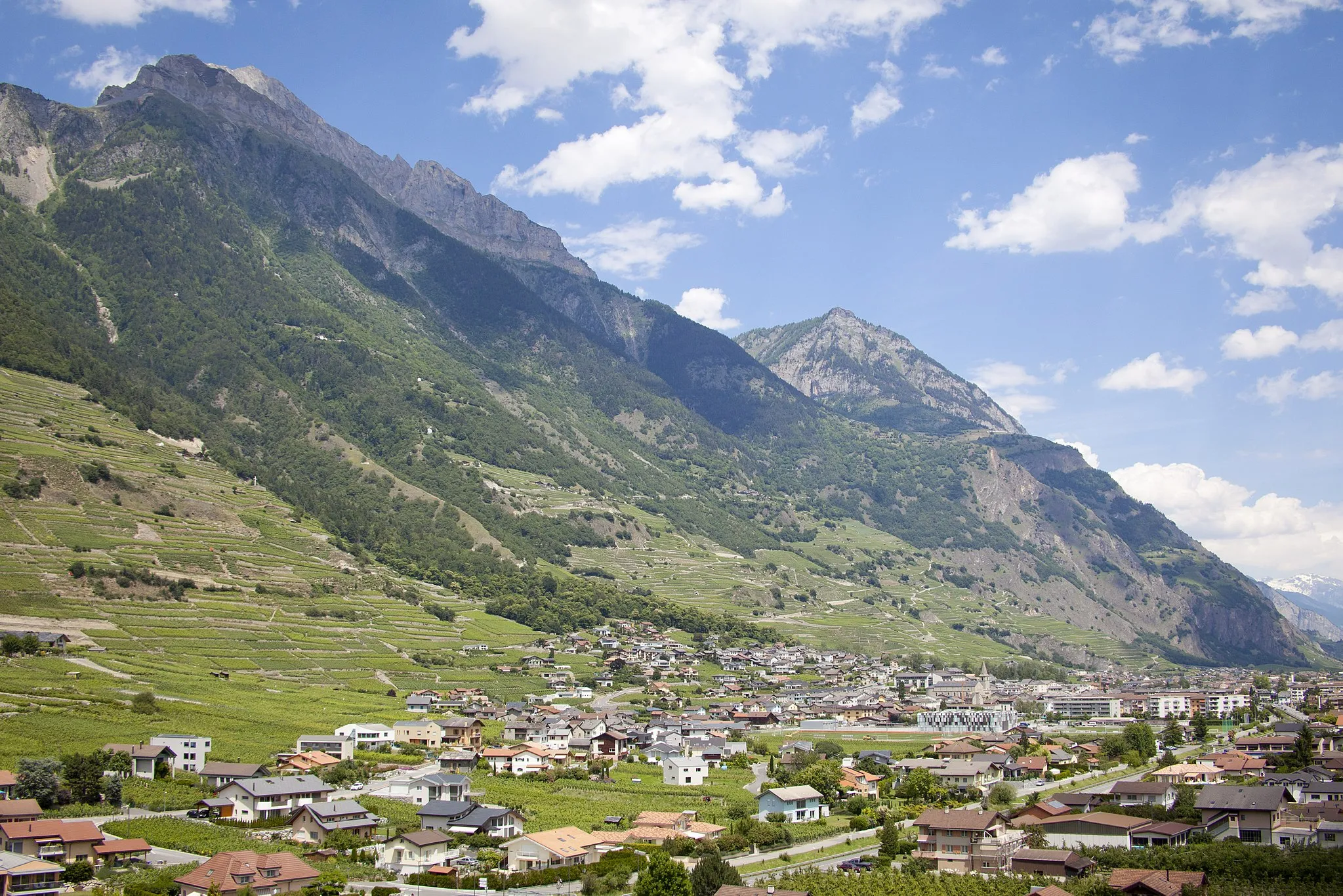
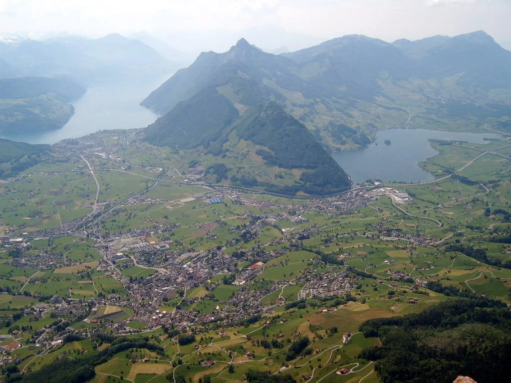
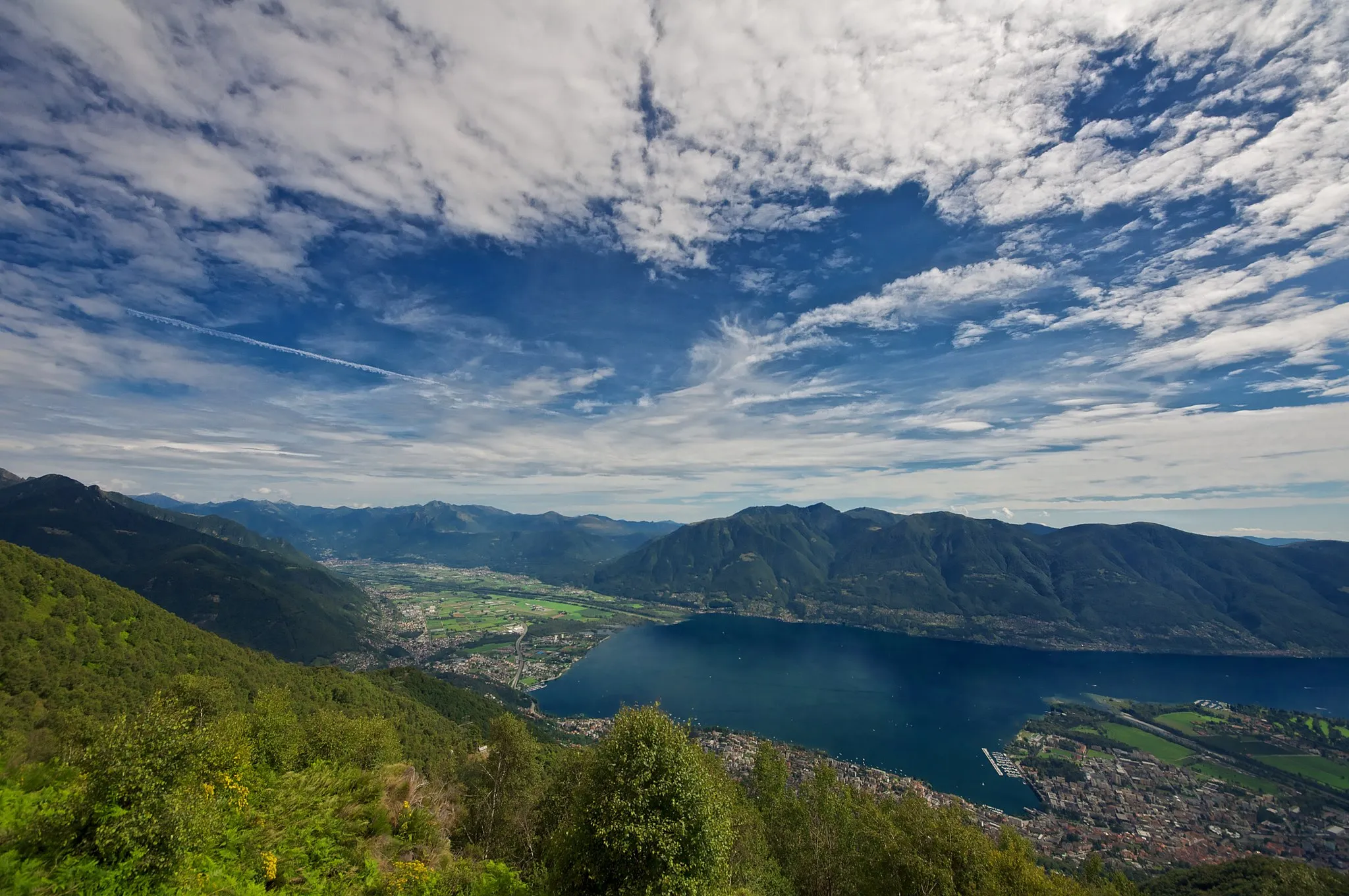
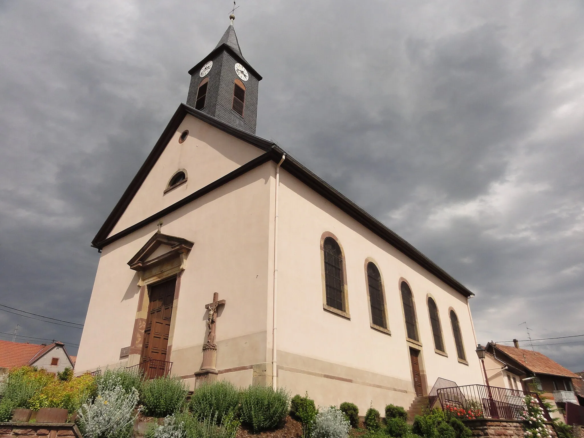
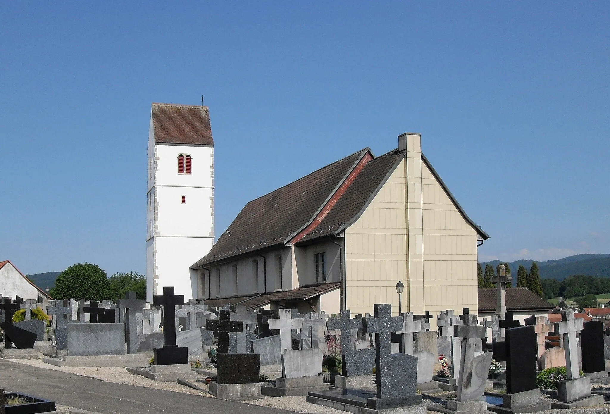
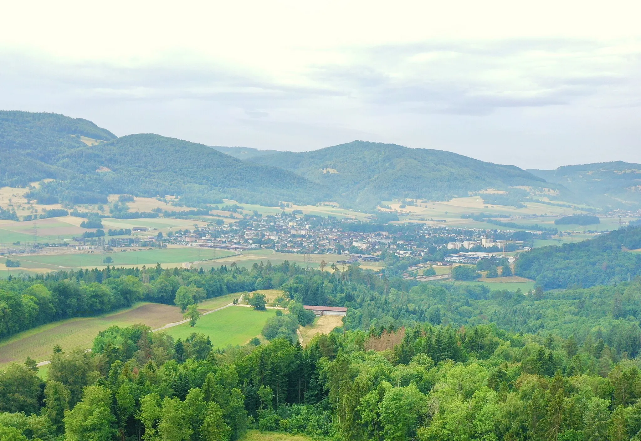
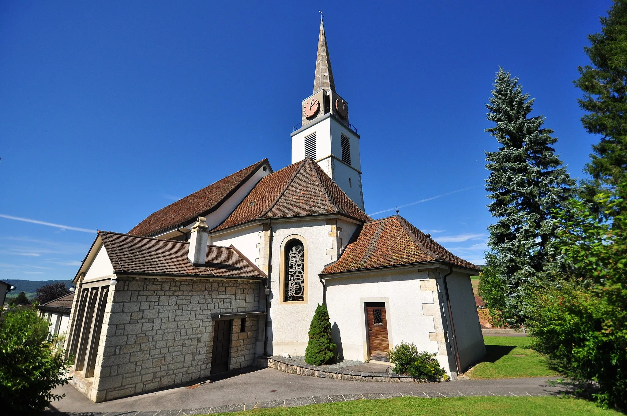
Porrentruy in der Region Espace Mittelland ist eine malerische Stadt mit historischem Charme. Für Radfahrer bietet sich die Umgebung für entspannte Touren durch die Weinberge und entlang der Flüsse an. Es gibt auch einige kleine Anstiege für alle, die gerne bergauf fahren.
Erkunden Sie die Natur und die ländliche Umgebung
Diese 60 km lange Gravelroute führt Sie durch malerische Landschaften und charmante Dörfer. Highlights wie Réchésy und Miécourt machen diese Tour zu einem unvergesslichen Erlebnis.
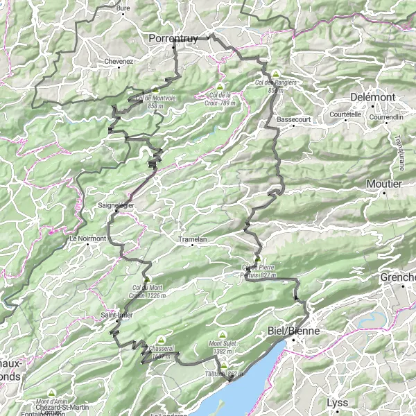
Eine epische Tour durch beeindruckende Landschaften
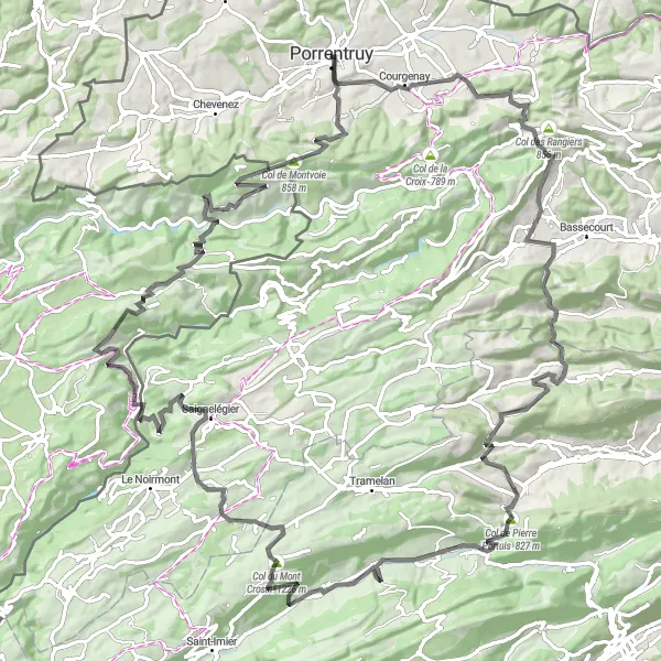
Die Route erstreckt sich über 124 km mit einem Anstieg von 3099 m. Zu den Highlights gehören Cornol, Col des Rangiers, Undervelier, Col du Fuet, Col de Pierre Pertuis, Corgémont, Col du Mont Crosin, Les Breuleux, Goumois, Rocher du Singe, Indevillers, Montancy, Col de Montvoie und Château de Porrentruy.
Herausforderung in der Natur
Eine anspruchsvolle Tour durch die Mittelland Landschaft
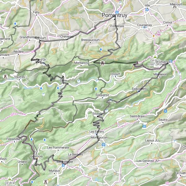
Die anspruchsvolle Route erstreckt sich über 101 km mit einem Anstieg von 2578 m. Zu den Highlights gehören Porrentruy, Col de Montvoie, Epauvillers, Le Chételat, Le Bémont, Goumois, Rocher du Singe, Indevillers, Tour de Faux d'Enson und Rocourt.
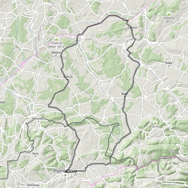
Road Route nach Biel
Erleben Sie eine anspruchsvolle Tour durch die Schweizer Landschaft
Diese 162 km lange Strecke führt Sie durch malerische Dörfer und über beeindruckende Pässe wie den Col des Rangiers und den Col du Fuet. Genießen Sie die Herausforderung und die atemberaubenden Ausblicke auf Ihrem Weg nach Biel.
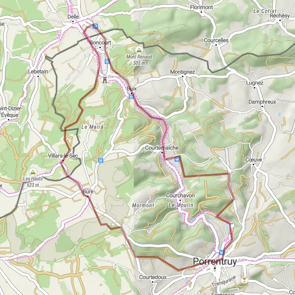
Entdecken Sie die Schönheit der Espace Mittelland Umgebung
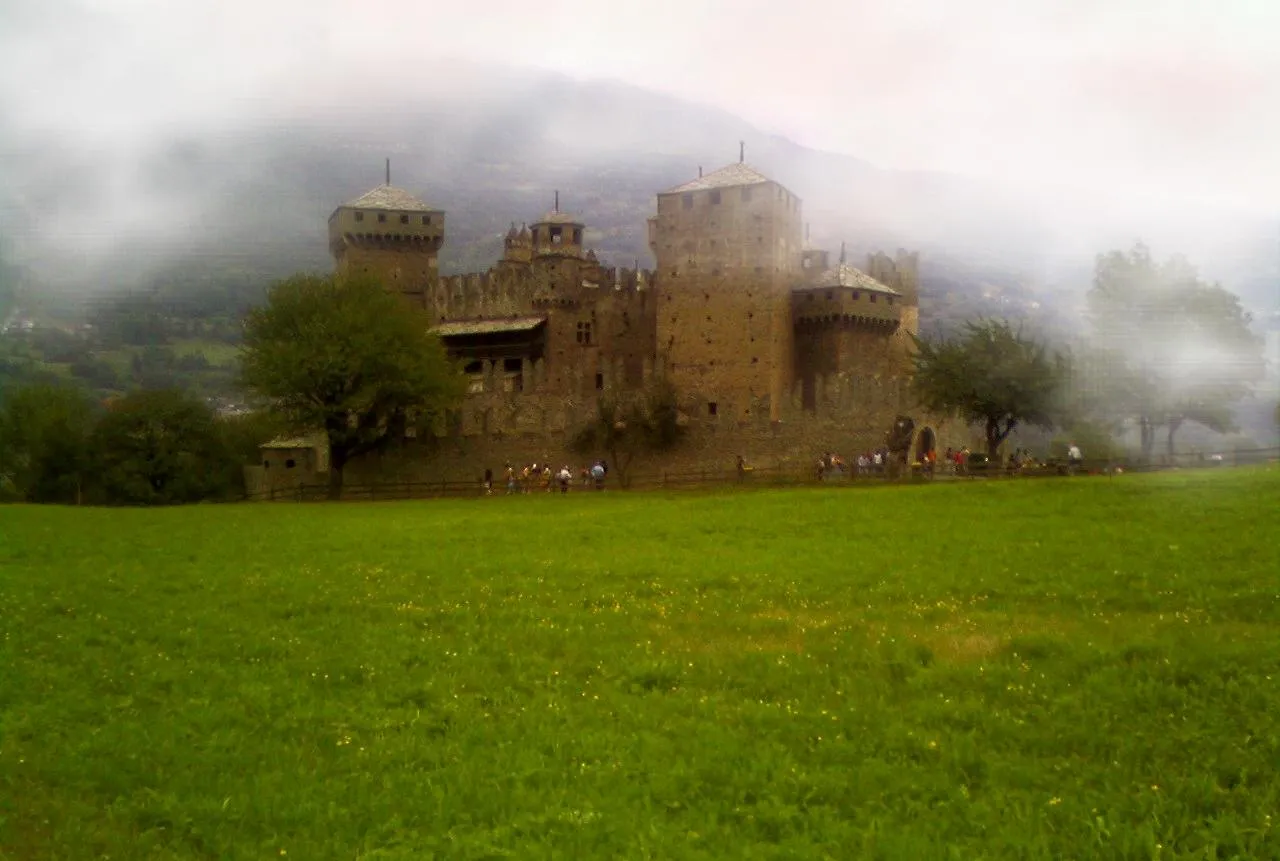
Die Route bietet eine 44 km lange Rundfahrt mit 682 m Höhenunterschied. Die Highlights entlang des Weges sind Porrentruy, Villars-lès-Blamont, Bure und das Château de Porrentruy.
Gravel Tour Delémont
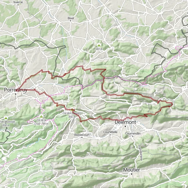
Entdecken Sie die malerische Umgebung
Diese 89 km lange Graveltour führt Sie durch charmante Dörfer und malerische Landschaften. Highlights wie das Schloss von Delémont und der Col des Rangiers machen diese Tour zu einem unvergesslichen Erlebnis.
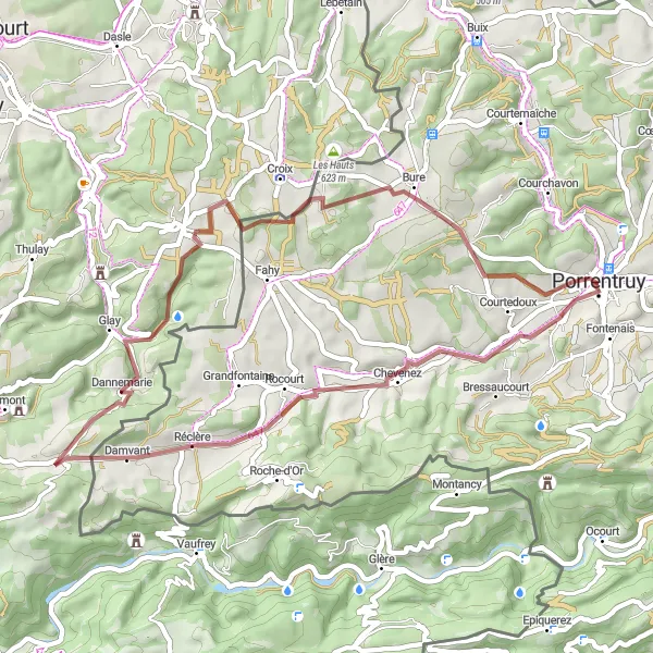
Erleben Sie eine malerische Rundtour, die Sie durch atemberaubende Landschaften führt
Diese 32 km lange Gravel-Radtour bietet eine Vielzahl von Highlights entlang der Strecke, darunter das charmante Dorf Villars-le-Sec und das historische Courtemaîche. Die Route beginnt in Porrentruy und führt durch hügelige Landschaften mit einer Gesamtaufstieg von 541 m. Genießen Sie die Ruhe und Schönheit der Region Mittelland während dieser unvergesslichen Fahrradtour.
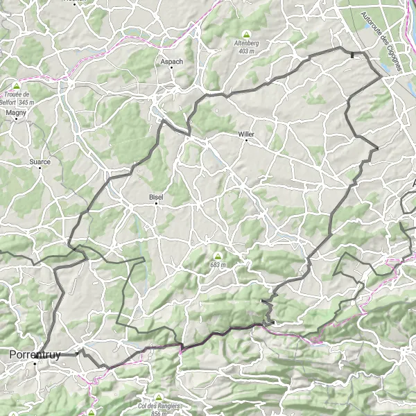
Road Tour nach Altkirch
Erleben Sie die atemberaubende Landschaft des Espace Mittelland
Diese 85 km lange Straßentour führt Sie entlang malerischer Dörfer und beeindruckender Landschaften. Highlights wie Damphreux und das Château de Porrentruy machen diese Tour zu einem unvergesslichen Erlebnis.
Eine herausfordernde Tour entlang malerischer Straßen
Die Route erstreckt sich über 113 km mit einem Anstieg von 1157 m. Highlights sind Damphreux, Hirtzbach, Heiwiller, Bartenheim, Oltingue, Gerstel, Charmoille und Alle.
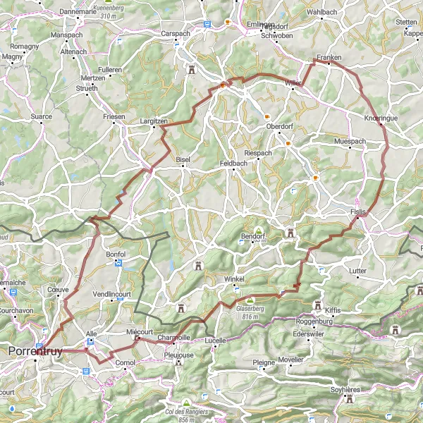
Erkunden Sie die ländliche Umgebung
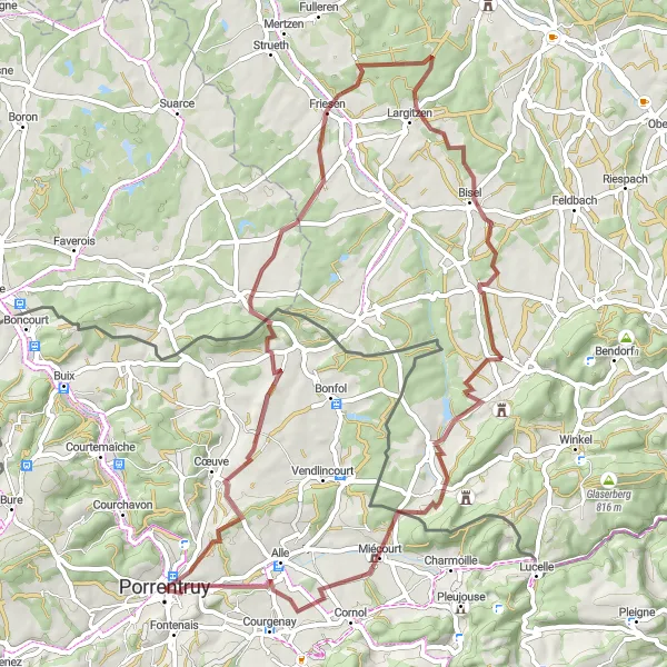
Diese 88 km lange Graveltour bietet eine abwechslungsreiche Strecke mit herrlichen Landschaften und Highlights wie dem Mont de Miserez und dem Schloss Glaserberg. Genießen Sie die atemberaubenden Ausblicke und entdecken Sie charmante Dörfer entlang des Weges.
In der Nähe befinden sich Fahrradrouten:


Benachbarte Regionen: