Herausforderung in der Natur
Eine road-Radroute, die von Porrentruy aus startet.
Eine anspruchsvolle Tour durch die Mittelland Landschaft
Karte
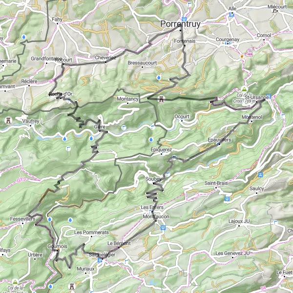
Die anspruchsvolle Route erstreckt sich über 101 km mit einem Anstieg von 2578 m. Zu den Highlights gehören Porrentruy, Col de Montvoie, Epauvillers, Le Chételat, Le Bémont, Goumois, Rocher du Singe, Indevillers, Tour de Faux d'Enson und Rocourt.
road
101 km
2578 m
Wild
Streckenprofil
Höhepunkte auf der Strecke
0 km
0 km
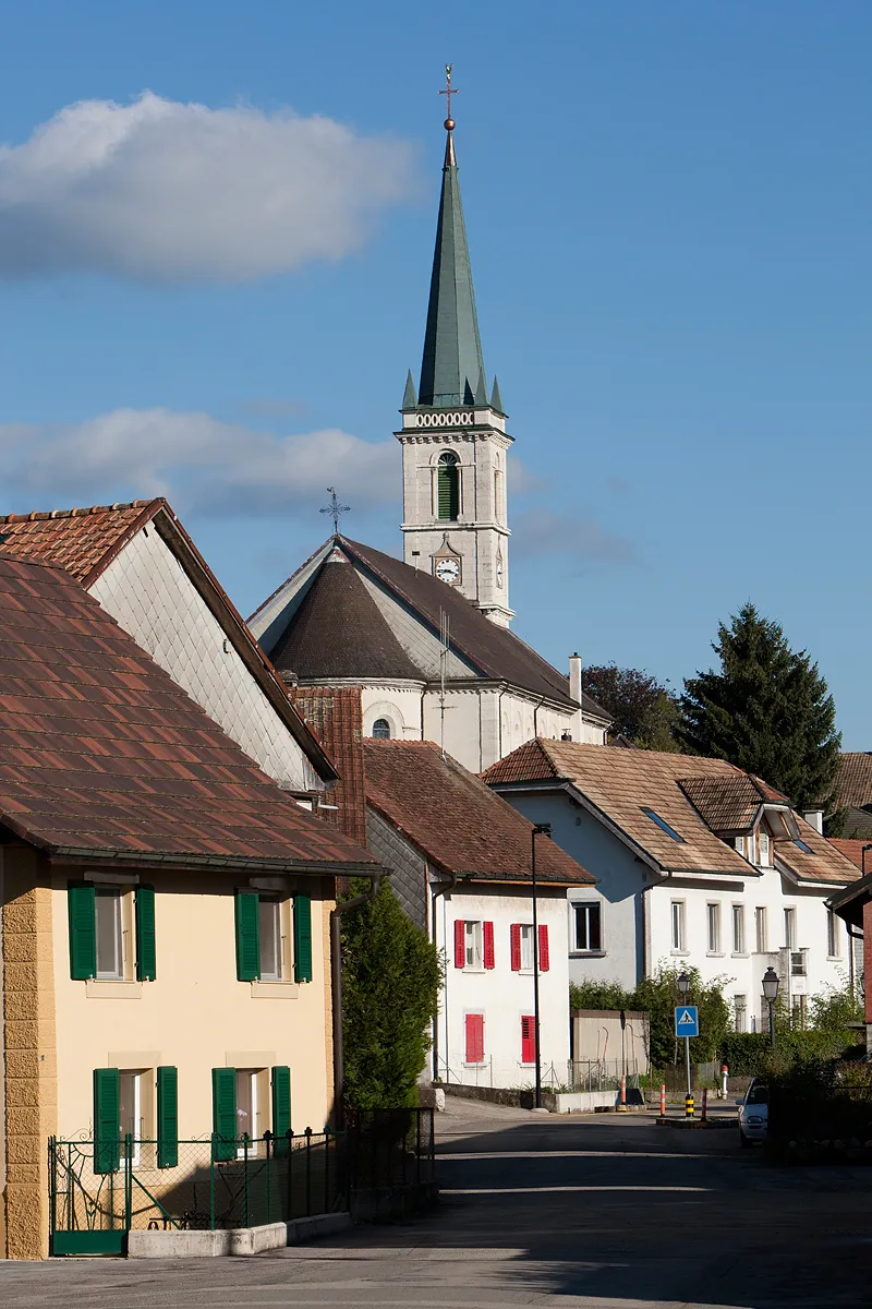
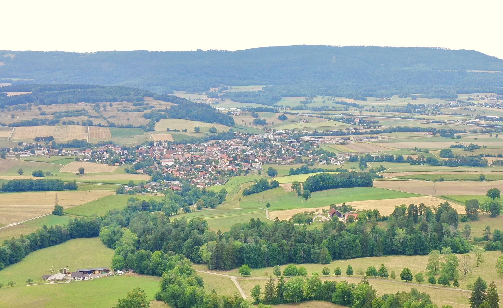
Start: Porrentruy City centerPorrentruy: Malersiche Stadt mit entspannten Radtouren.
Porrentruy in der Region Espace Mittelland ist eine malerische Stadt mit historischem Charme. Für Radfahrer bietet sich die Umgebung für entspannte Touren durch die Weinberge und entlang der Flüsse an. Es gibt auch einige kleine Anstiege für alle, die gerne bergauf fahren.0 km
0 km
PorrentruyStadtPorrentruy ist eine historische Stadt mit einer reichen Kulturszene.
8 km
8 km
Col de Montvoie858 mBergpassDer Col de Montvoie bietet spektakuläre Ausblicke auf die Umgebung.
27 km
27 km
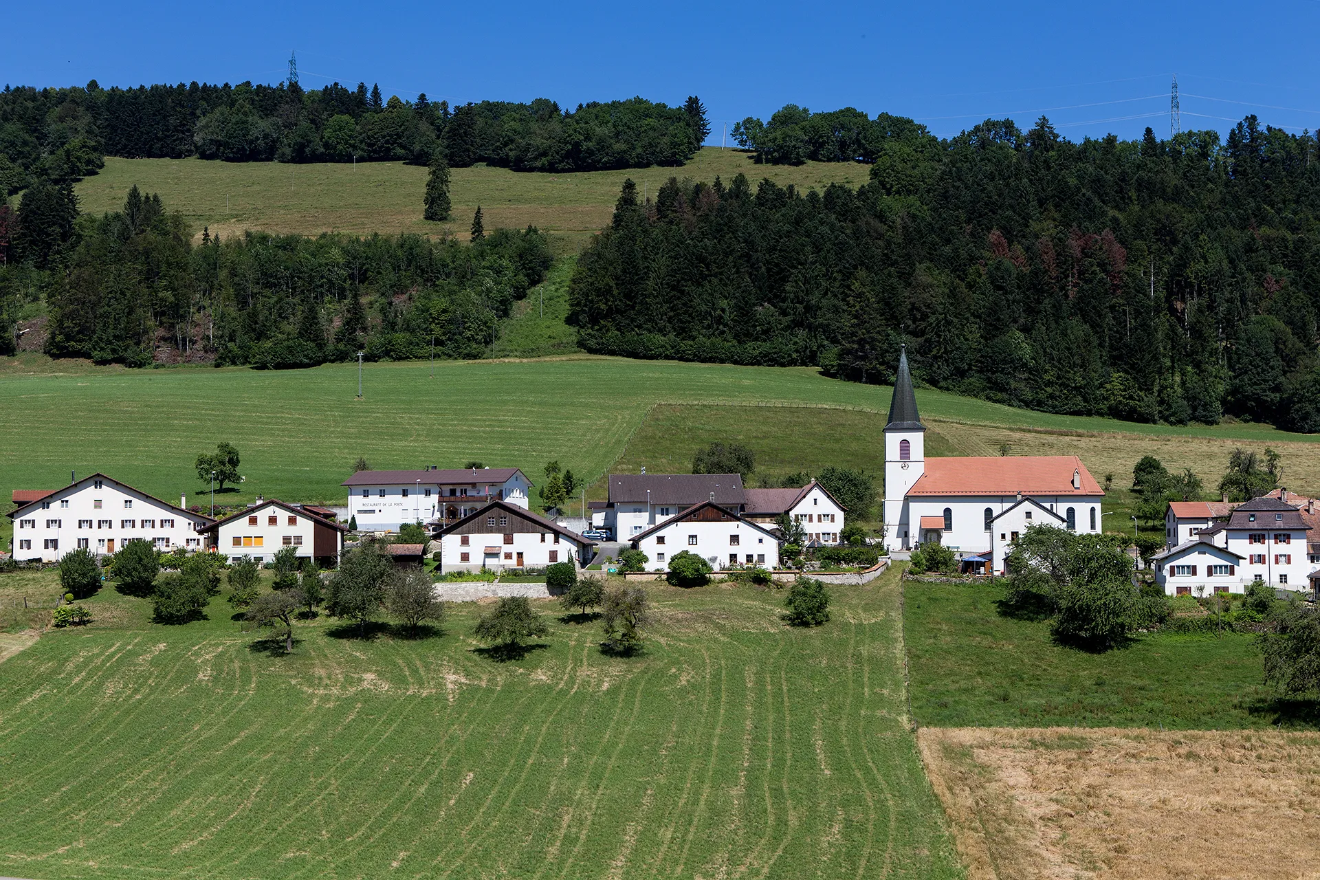
EpauvillersDorfEpauvillers ist ein malerisches Dorf mit alten Gebäuden.
29 km
29 km
Le Chételat575 mGipfelLe Chételat ist bekannt für seine traditionelle Architektur.
46 km
46 km
Le BémontDorfLe Bémont ist ein beliebter Zwischenstopp für Wanderer und Radfahrer.
56 km
56 km
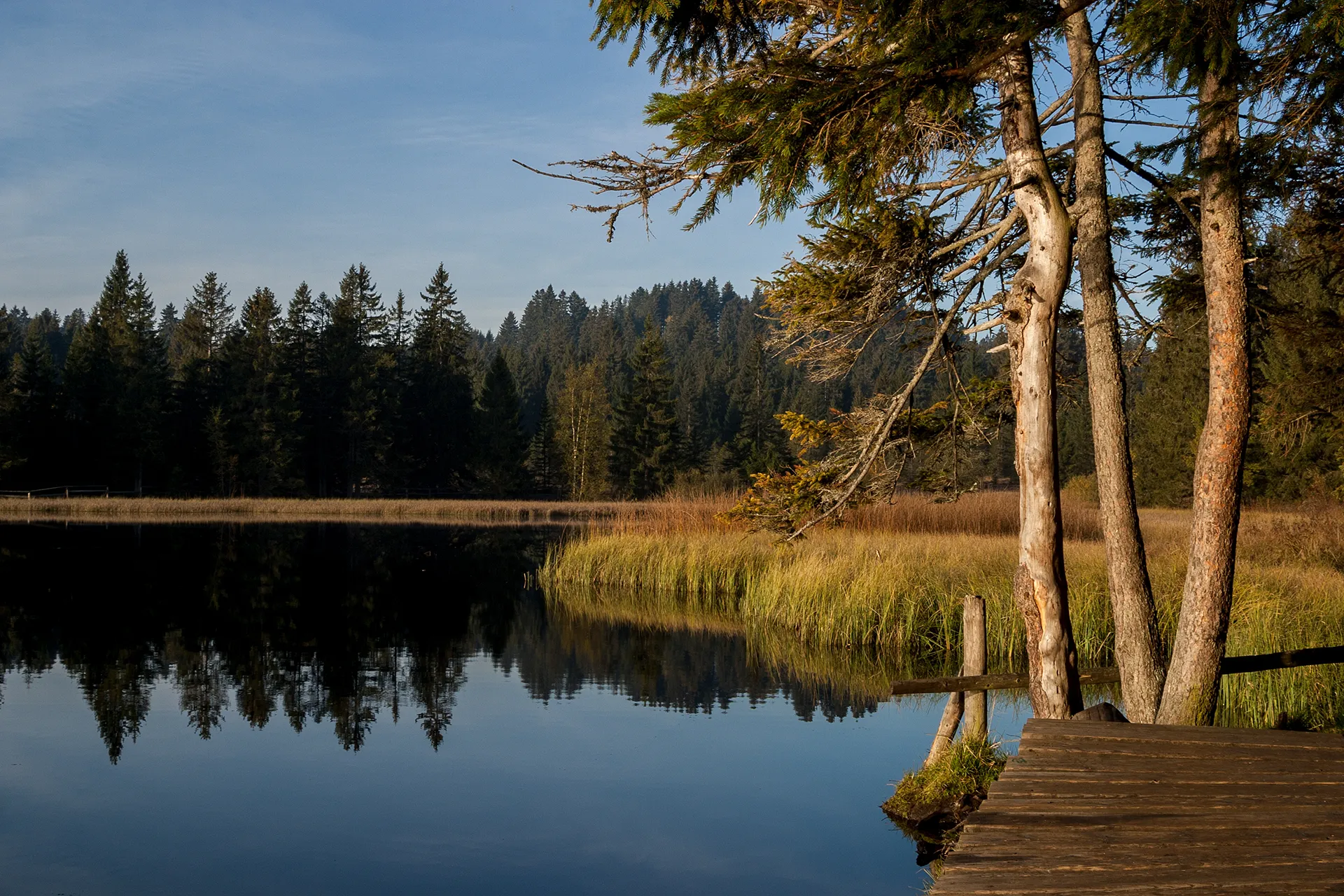
GoumoisDorfGoumois liegt malerisch am Ufer eines Flusses.
57 km
57 km
Rocher du SingeAussichtspunktDer Rocher du Singe ist ein markanter Felsen in der Landschaft.
67 km
67 km
IndevillersDorfIndevillers bietet Einblicke in die ländliche Lebensweise.
84 km
84 km
Tour de Faux d'EnsonAussichtspunktDie Tour de Faux d'Enson ist ein historischer Aussichtspunkt mit Panoramablick.
90 km
90 km
RocourtDorfRocourt ist ein malerisches Dorf mit historischer Architektur.
101 km
101 km
Ziel: Porrentruy City centerPorrentruy: Malersiche Stadt mit entspannten Radtouren.
Radwege von Porrentruy:
Gravel Experience nach Alle Auf den Straßen der Espace Mittelland Road Tour nach Altkirch Road Route nach Biel Herausforderung in der Natur Schleifen um Porrentruy Gravel Tour Delémont Entdecken Sie die Schönheit von Espace Mittelland mit dem Fahrrad Ultimative Herausforderung in der Natur Gravel Route um Porrentruy
In der Nähe befinden sich Fahrradrouten: