Panorama-Tour durch Vue des Alpes
Eine road-Radroute, die von Saint-Blaise aus startet.
Erklimmen Sie die spektakulären Anhöhen von Vue des Alpes.
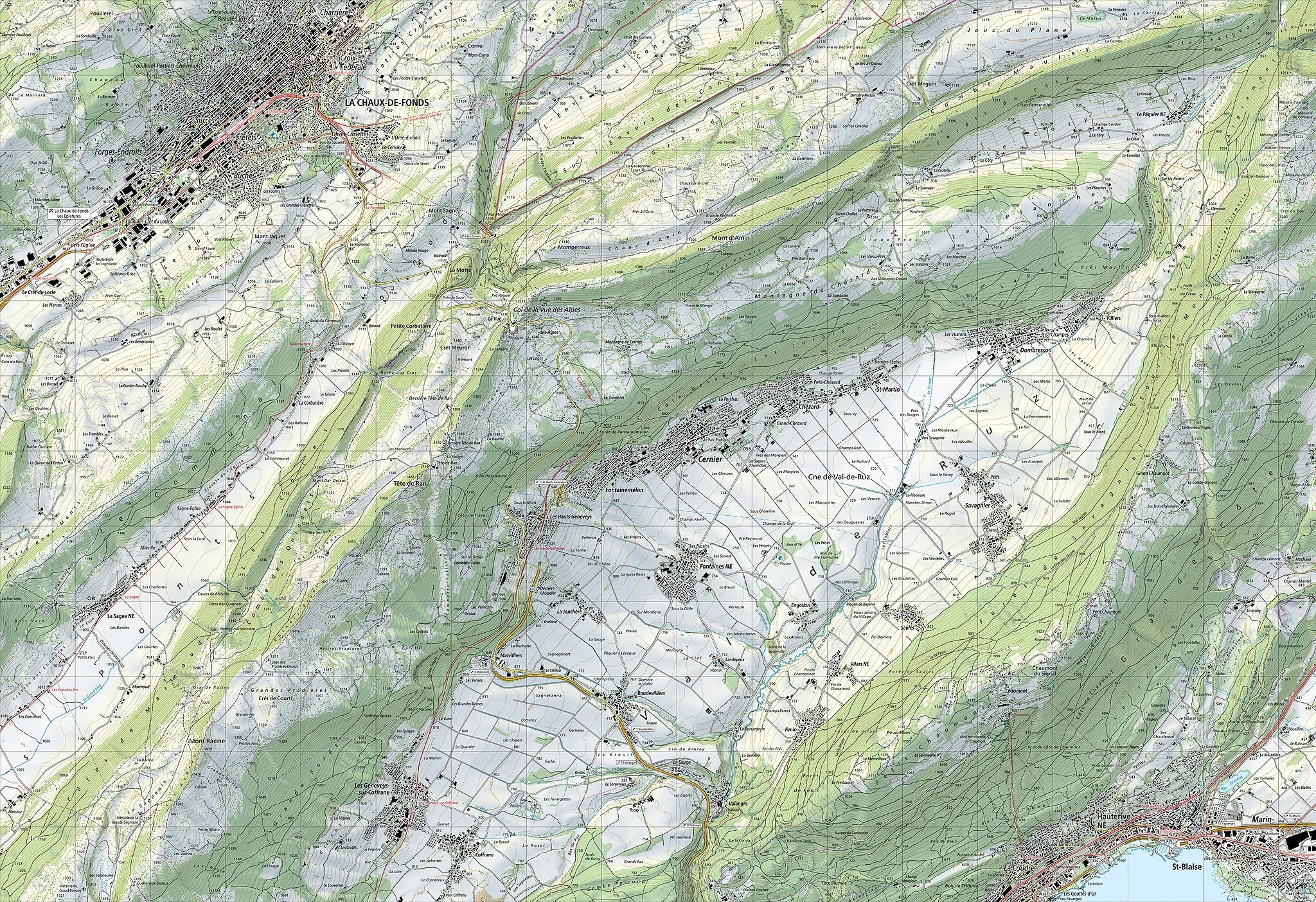
Karte

Diese 103 km lange Radtour führt Sie durch die malerische Landschaft von Vue des Alpes. Von Boudry bis zu den Roches de Châtollion erwartet Sie eine abwechslungsreiche Route mit beeindruckenden Aussichtspunkten.
road
103 km
2117 m
Wild
Streckenprofil
Höhepunkte auf der Strecke
0 km
0 km
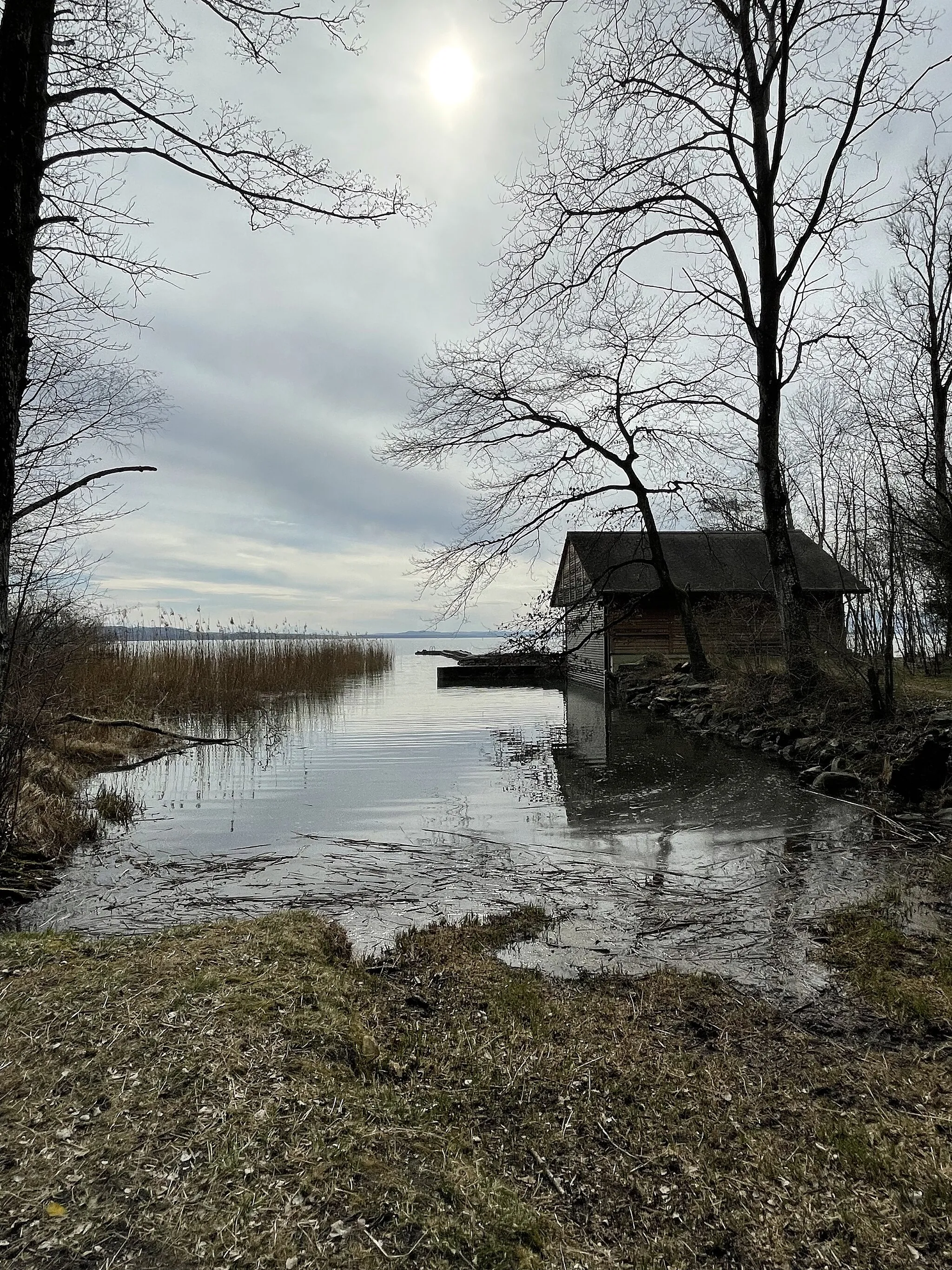
Start: Saint-Blaise Village centerSaint-Blaise: Ruhige Stadt mit schönen Fahrradrouten
Saint-Blaise in der Espace Mittelland ist eine ruhige Stadt mit einigen schönen Fahrradrouten. Die Gegend bietet vor allem flache Strecken entlang des Sees, ideal für entspannte Touren. Es gibt auch Möglichkeiten für Wassersport in der Nähe.15 km
15 km
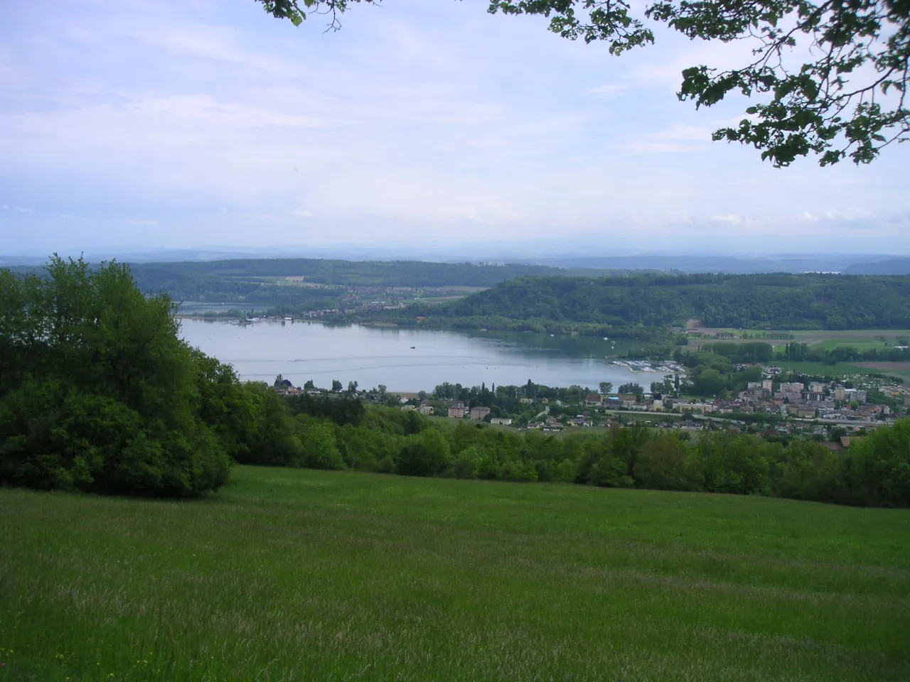
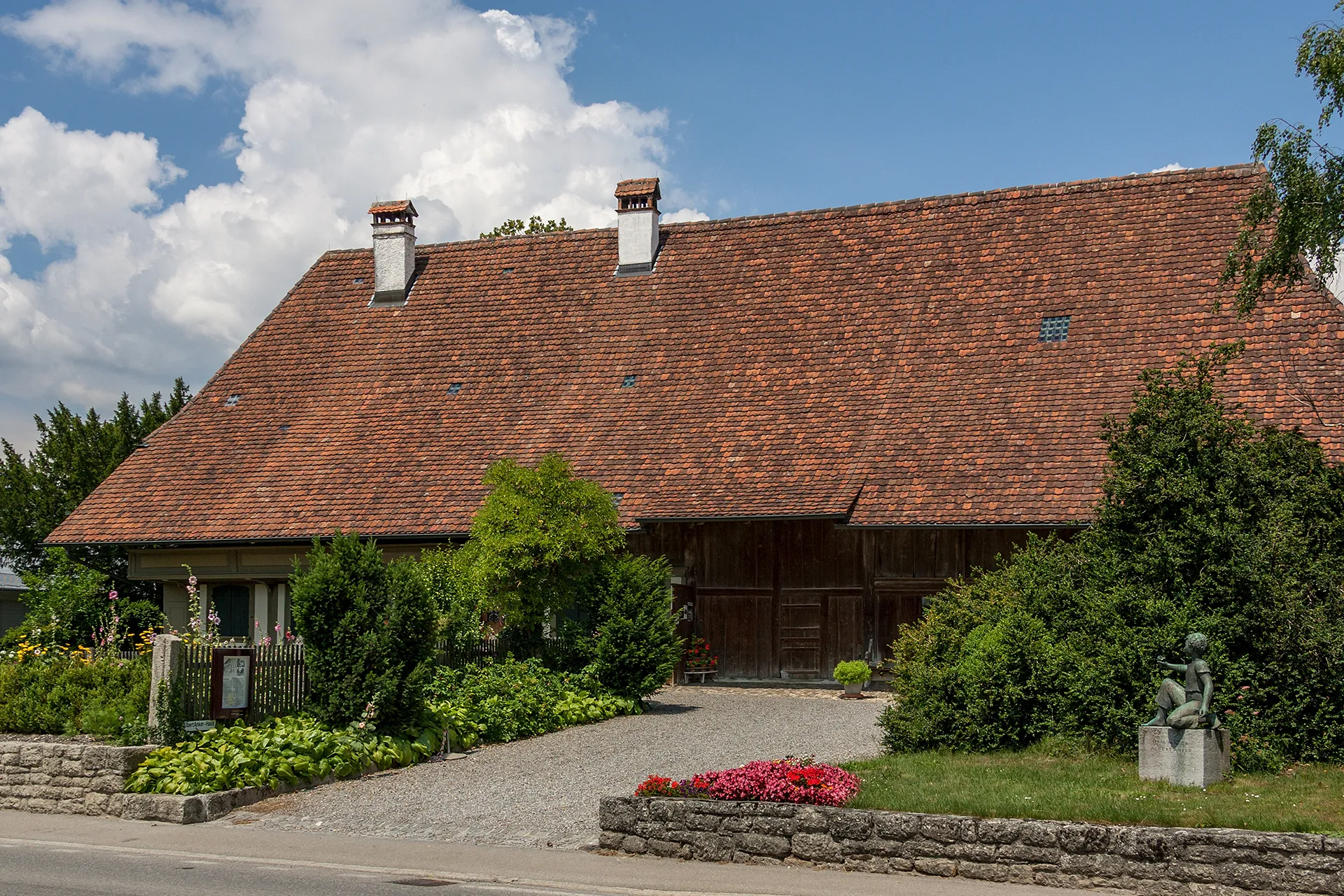
BoudryDorfBesuchen Sie das malerische Boudry.
24 km
24 km
Brot-DessousDorfErleben Sie die Schönheit von Brot-Dessous.
40 km
40 km
Les Ponts-de-MartelDorfGenießen Sie die Aussicht in Les Ponts-de-Martel.
48 km
48 km
Le Cerneux-PéquignotDorfErkunden Sie die Umgebung von Le Cerneux-Péquignot.
59 km
59 km
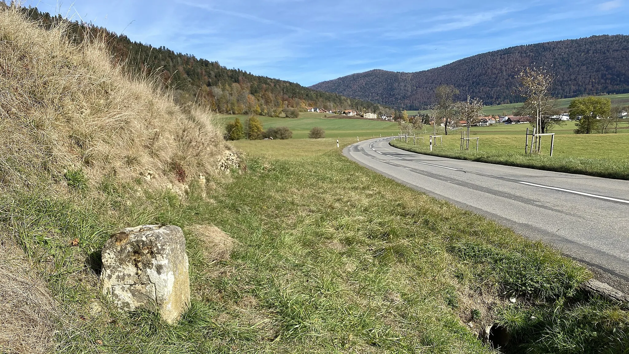
Col des Roches920 mBergpassErklimmen Sie den Col des Roches.
70 km
70 km
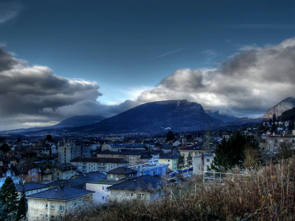
La Chaux-de-FondsStadtBesuchen Sie das charmante La Chaux-de-Fonds.
77 km
77 km
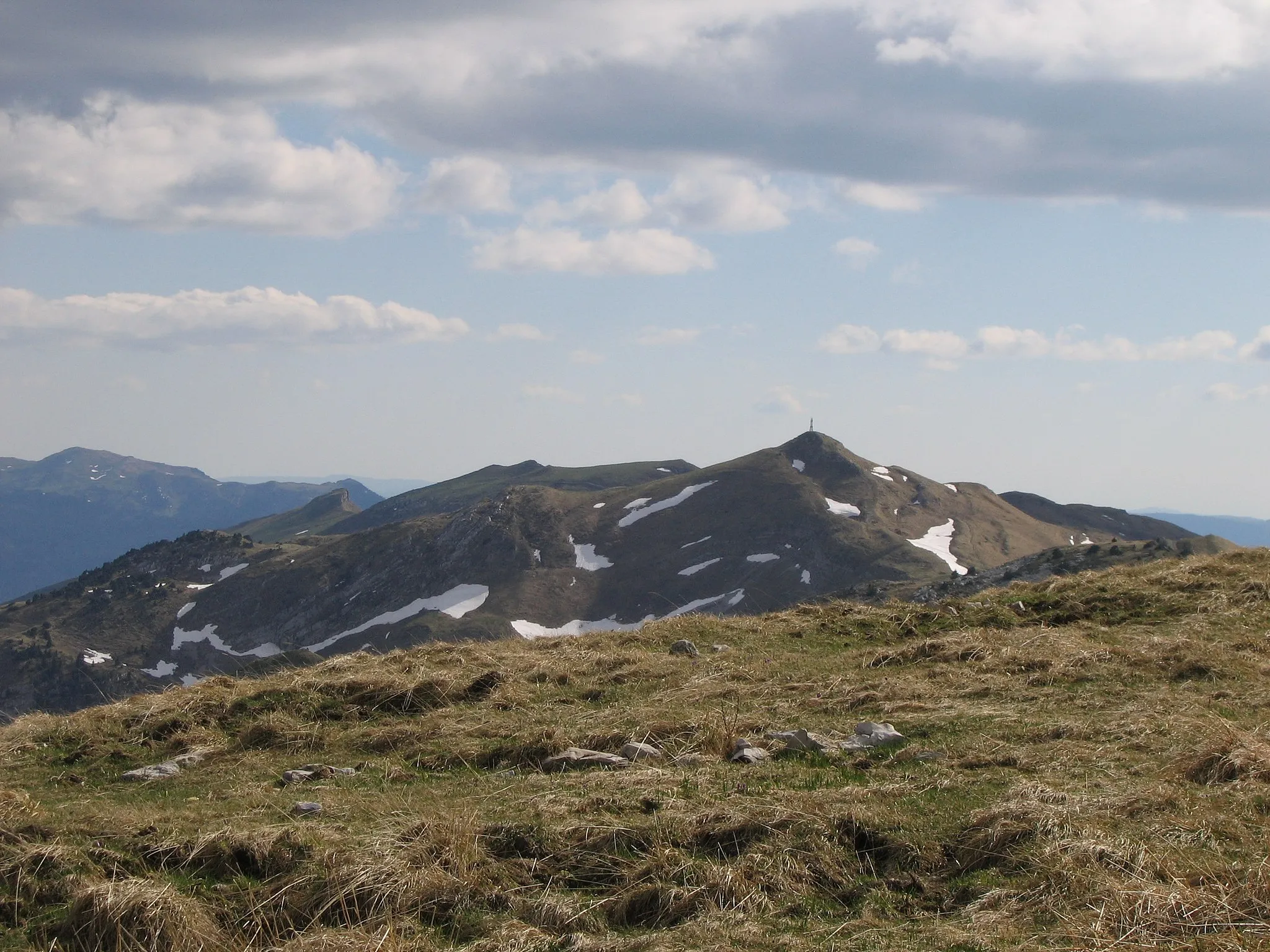
Vue des Alpes1283 mBergpassGenießen Sie die Panoramaaussicht von Vue des Alpes.
101 km
101 km
Roches de ChâtollionAussichtspunktBewundern Sie die Roches de Châtollion.
103 km
103 km
Ziel: Saint-Blaise Village centerSaint-Blaise: Ruhige Stadt mit schönen Fahrradrouten
Radwege von Saint-Blaise:
In der Nähe befinden sich Fahrradrouten: