Glières Plateau Road Cycling Tour
Een road fietsroute startend vanuit Thorens-Glieres
Experience the stunning Glières Plateau on this 69-km road route with 1402 meters of ascent.
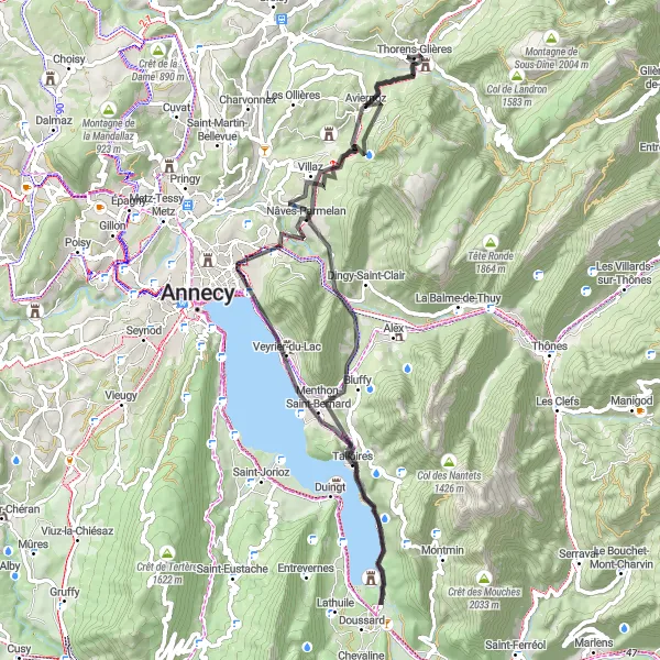
Kaart
Explore the picturesque villages of Nâves-Parmelan, Menthon-Saint-Bernard, and Talloires along the way. Enjoy the breathtaking views from the Table d'orientation and Belvédère de la Crête. Don't miss the beautiful Plan de Bacon and Disonche before returning to Thorens-Glières.
road
69 km
1402 m
Ontspannen
Routeprofiel
Hoogtepunten op de route
0 km
0 km
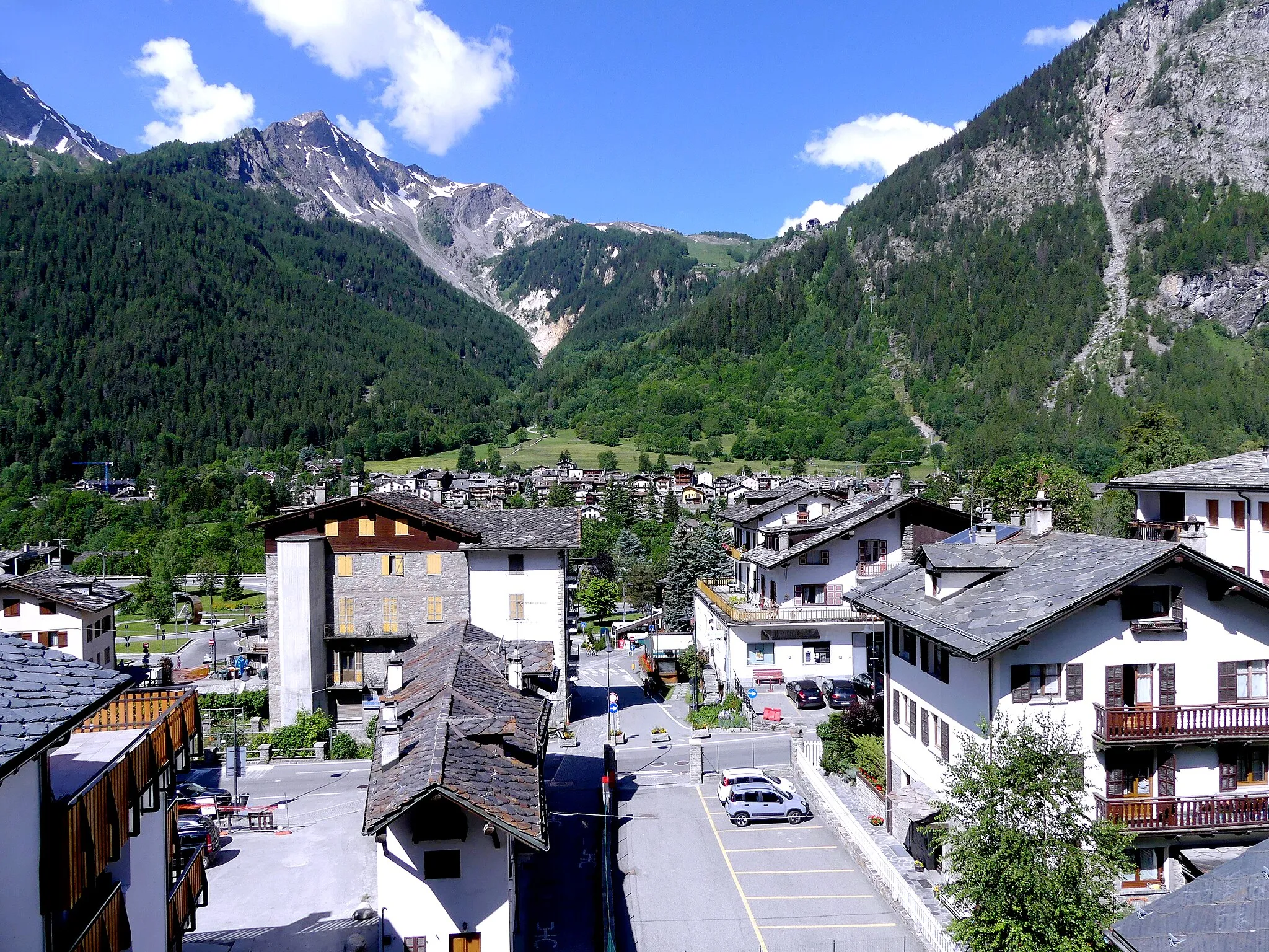
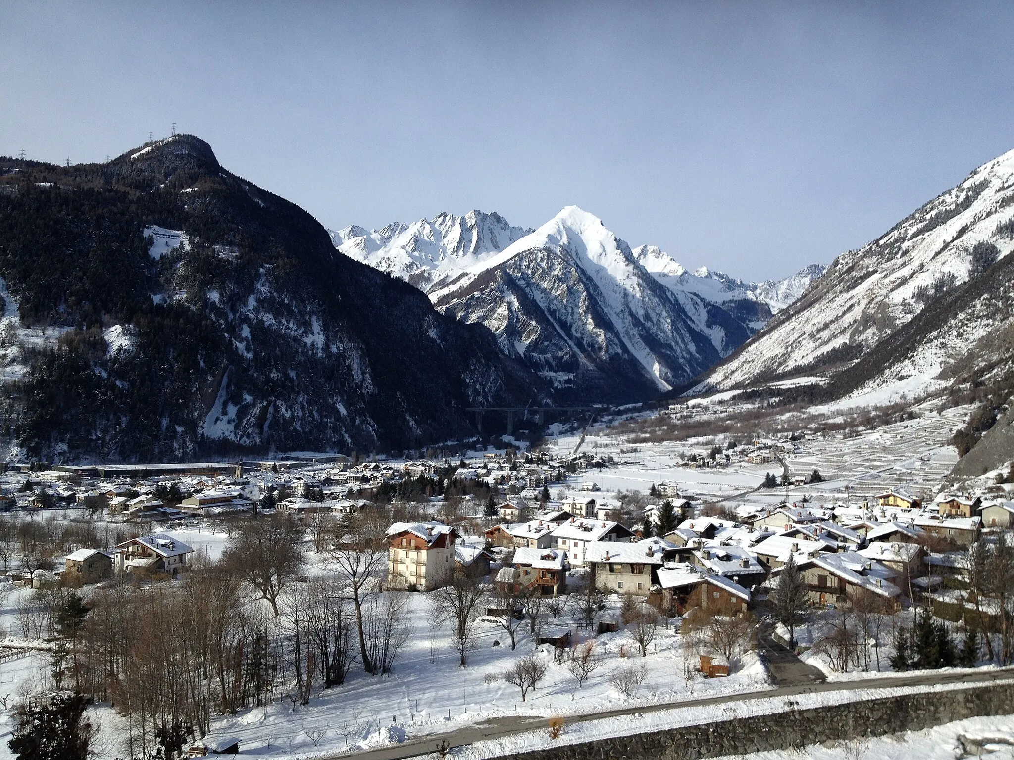
Start: Thorens-Glières Village centerThorens-Glières: Prachtige gravel fietslocatie in de buurt van de beroemde Col de la Colombière.
Thorens-Glières is een prachtige locatie voor gravel fietsers, met zijn schilderachtige landschap en uitdagende terrein. Het gebied biedt tal van onverharde paden en rustige wegen om te verkennen. Dichtbij vind je de beroemde Col de la Colombière, een must voor wielrenners. De omgeving is ideaal voor zowel ontspannen ritjes als serieuze klimmen. De lokale bevolking is vriendelijk en gastvrij voor fietsers.10 km
10 km
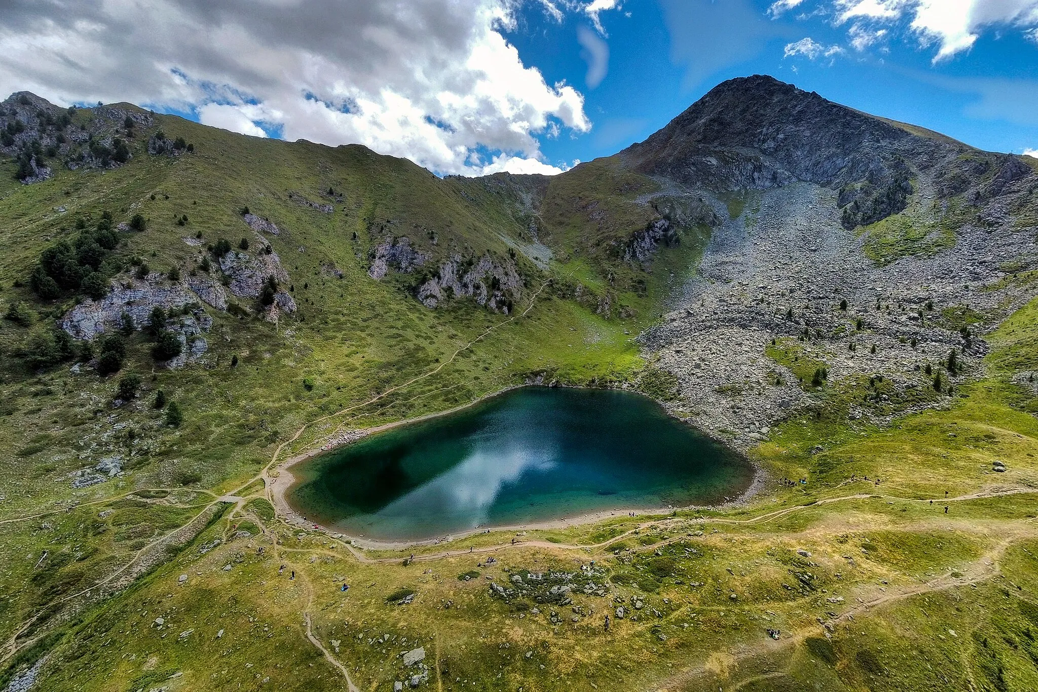
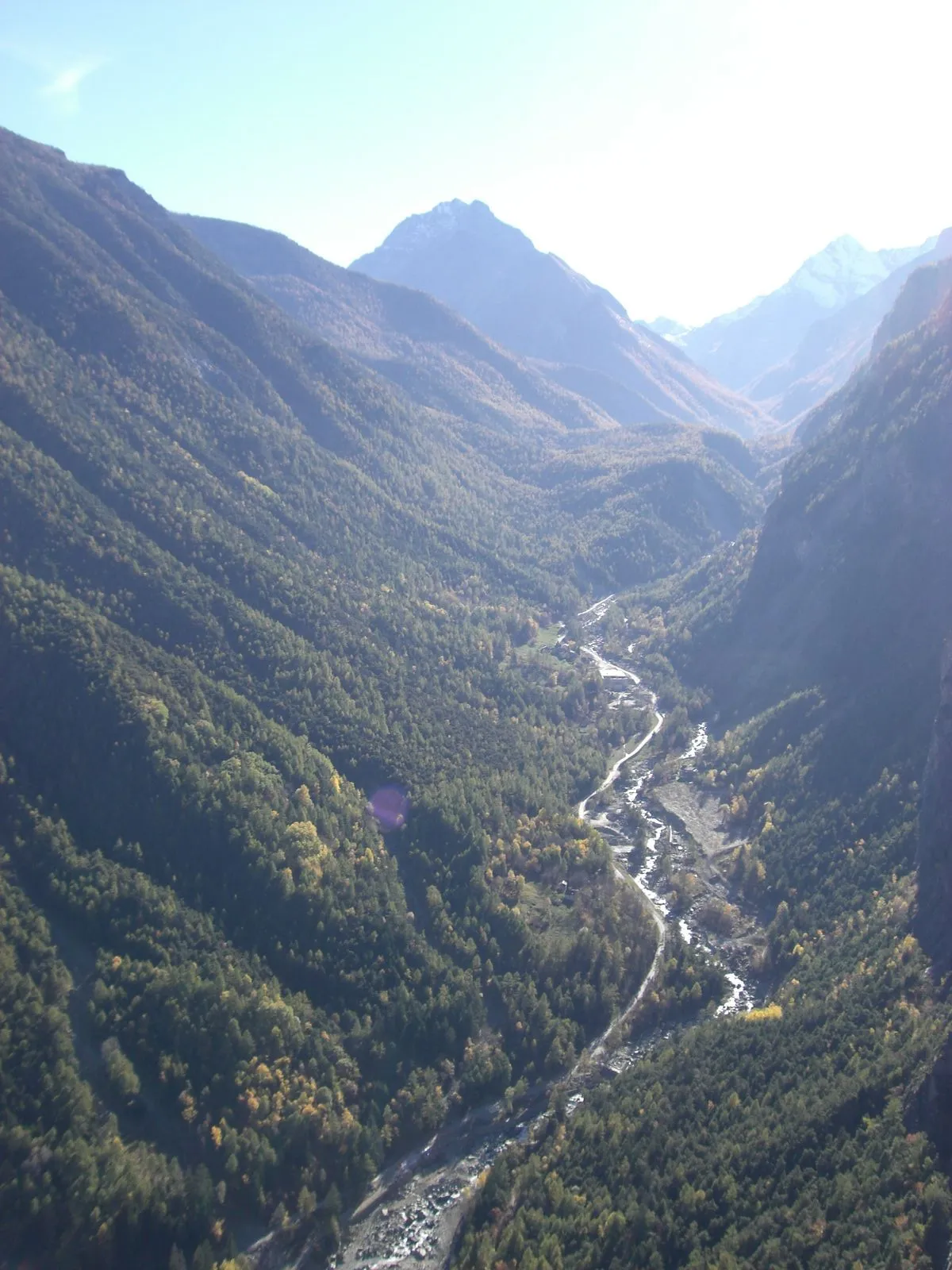
Nâves-ParmelanDorpGeniet van het prachtige uitzicht op de Glières Plateau.
21 km
21 km
Table d'orientationUitzichtpuntBekijk de panorama's vanaf de Table d'orientation.
24 km
24 km
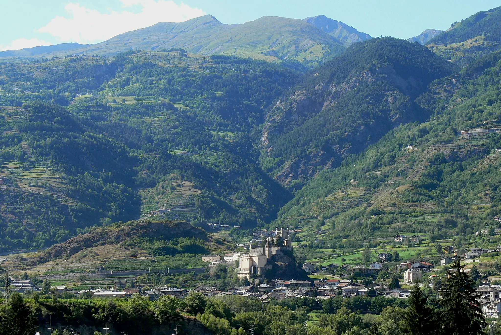
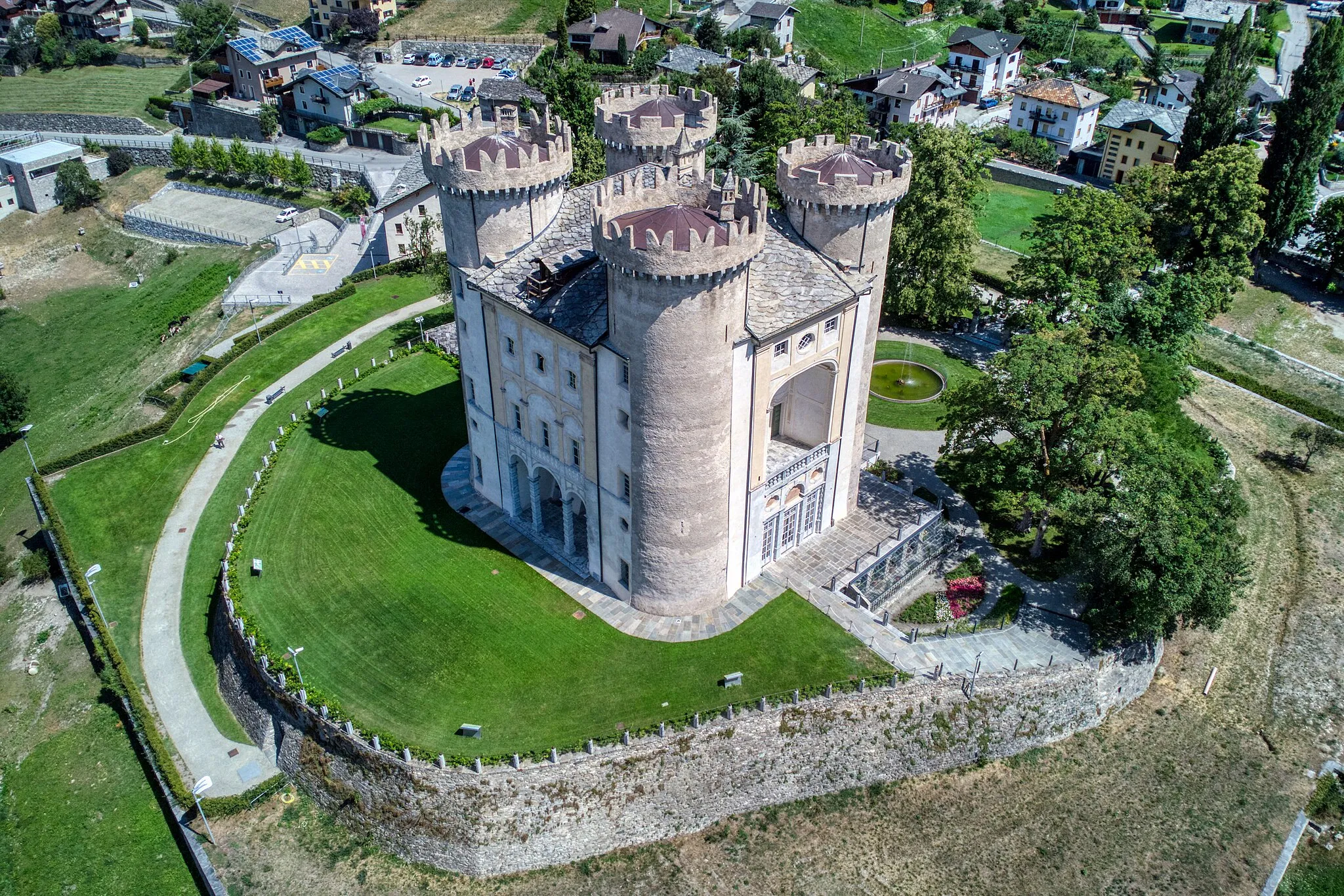
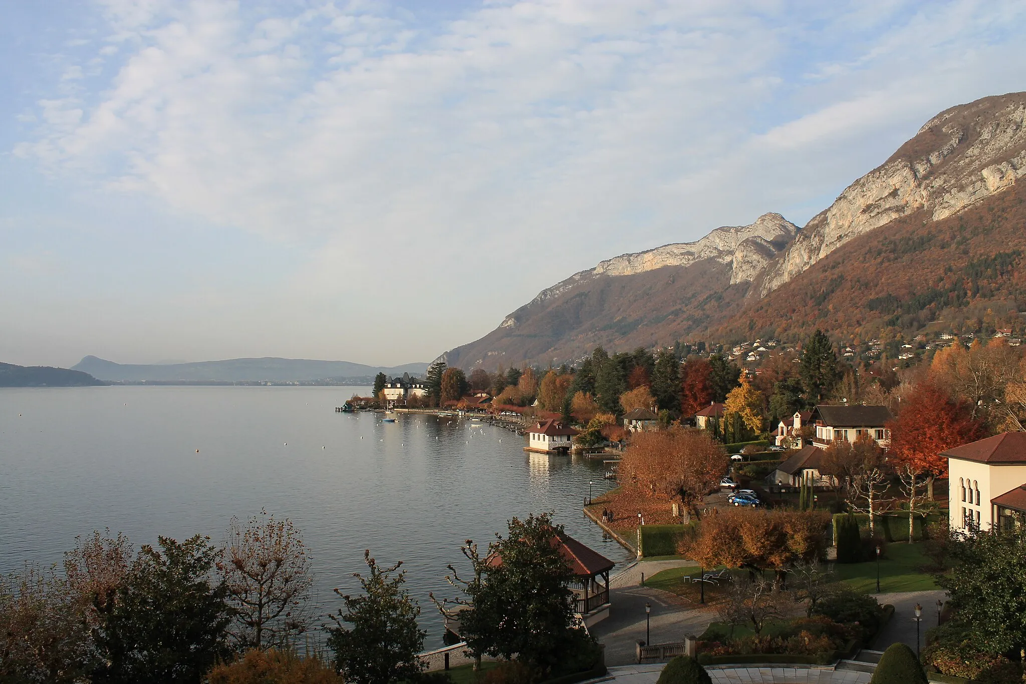
Menthon-Saint-BernardDorpVerken het pittoreske dorp Menthon-Saint-Bernard.
41 km
41 km
TalloiresDorpBezoek het charmante dorp Talloires.
41 km
41 km
Belvédère de la CrêteUitzichtpuntAdembenemend uitzicht vanaf Belvédère de la Crête.
52 km
52 km
Plan de Bacon1073 mHoogtepuntOntdek het mooie Plan de Bacon langs de route.
61 km
61 km
DisoncheGehuchtMaak een tussenstop bij het idyllische Disonche.
69 km
69 km
Thorens-GlièresDorpTerug naar het startpunt van Thorens-Glières.
69 km
69 km
Finish: Thorens-Glières Village centerThorens-Glières: Prachtige gravel fietslocatie in de buurt van de beroemde Col de la Colombière.
Fietsroutes vanuit Thorens-Glieres:
Prachtige rit door pittoreske dorpjes Wegroute door idyllische landschappen Plage naar Mont Pelé Gravelroute rond Thorens-Glières Cornier naar Thorens-Glières Menthonnex-en-Bornes naar Guichard Thorens-Glières naar Château de Thorens Scenic Road Cycling Adventure Adembenemende tocht door de Alpen Ronde van Thorens-Glières Château de Thorens Road Cycling Loop Glières Plateau Road Cycling Tour Rondrit door de Alpen Historische route door Rhône-Alpes
Fietsroutes in de buurt: