Cuges-les-Pins - Peynier - Cuges-les-Pins
Kolesarska pot road, ki se začne od Cuges-les-Pins
Scenic road route with challenging ascents and beautiful landscapes.
Zemljevid

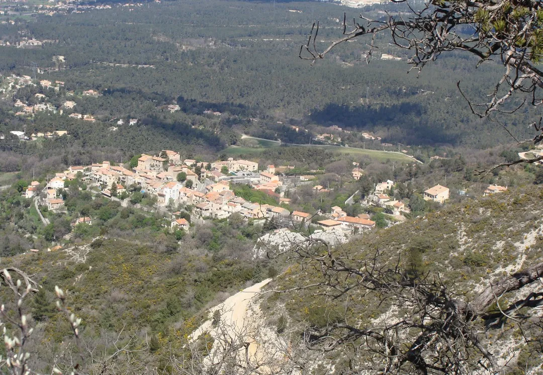
This road cycling route near Cuges-les-Pins offers a challenging ascent of 2241 meters over a distance of 122 kilometers. Highlights include the picturesque town of Aubagne, the stunning views from Col Sainte-Anne, and the charming village of Mimet. The route passes through Le Tholonet and Peynier before reaching the Pas de la Couelle and col de Saucette. It concludes with a descent through Gémenos, perfect for a thrilling finish.
road
122 km
2241 m
Divje
Profil poti
Poudarki na poti
0 km
0 km
Začetek: Cuges-les-Pins Village centerCuges-les-Pins: Naravni oddih v Cuges-les-Pins
Cuges-les-Pins je idilična vasica, obdana z gostimi gozdovi in pohodniškimi potmi. Za kolesarje ni veliko možnosti, saj so ceste ozke in prometne, vendar je kraj primeren za oddih v naravi.12 km
12 km
AubagneMestoEnjoy the picturesque town of Aubagne along the route.
17 km
17 km
Le Ruissatel448 mVrhExperience stunning views from Col Sainte-Anne.
35 km
35 km
Col Sainte-Anne589 mGorski PrehodAdmire the charming village of Mimet.
37 km
37 km
MimetVasExplore the scenic surroundings of Le Tholonet.
49 km
49 km
MeyreuilVasPass through the idyllic village of Peynier.
62 km
62 km
Le TholonetVasDiscover the beauty of Pas de la Couelle.
72 km
72 km
Pas de Magnan460 mGorski PrehodReach the challenging col de Saucette.
81 km
81 km
PeynierVasCycle through the lovely landscape of Gémenos.
122 km
122 km
Konec: Cuges-les-Pins Village centerCuges-les-Pins: Naravni oddih v Cuges-les-Pins
Kolesarske poti od Cuges-les-Pins:
Cuges-les-Pins - Chapelle Notre-Dame de la Garde - Ceyreste Cuges-les-Pins - Peynier - Cuges-les-Pins Challenging Gravel Route to Mont Cruvelier Cuges-les-Pins - Mont Puget - Mont Cruvelier Gravel Route from Cuges-les-Pins to Col de l'Ange Gravel Route from Cuges-les-Pins to Le Camp du Castellet Road Route from Cuges-les-Pins to Toulon Cuges-les-Pins - Gardanne - Auriol Scenic Road Cycling Tour to Toulon Cuges-les-Pins - Pointe du Cerveau - Sainte-Croix Scenic Gravel Route to Le Télégraphe Gravel Route to Mont Cruvelier Krožna kolesarska pot Riboux - Tombstone