Parcours Gravel Halslkopf
Un itinéraire de cyclisme gravel partant de Breitenbach am Inn
Découvrez des panoramas à couper le souffle sur le Tyrol
Carte

Ce parcours gravel de 109 km vous conduit à travers des paysages sauvages et préservés, avec des arrêts incontournables comme le Dalfazer Wasserfall et le Zimmerer Kopf. Explorez la beauté naturelle de la région tyrolienne lors de cette aventure à vélo authentique et immersive.
gravel
109 km
3428 m
Sauvage
Profil de l'itinéraire
Points forts sur l'itinéraire
0 km
0 km
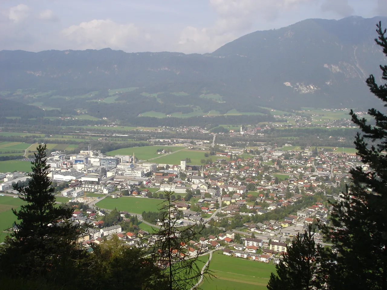
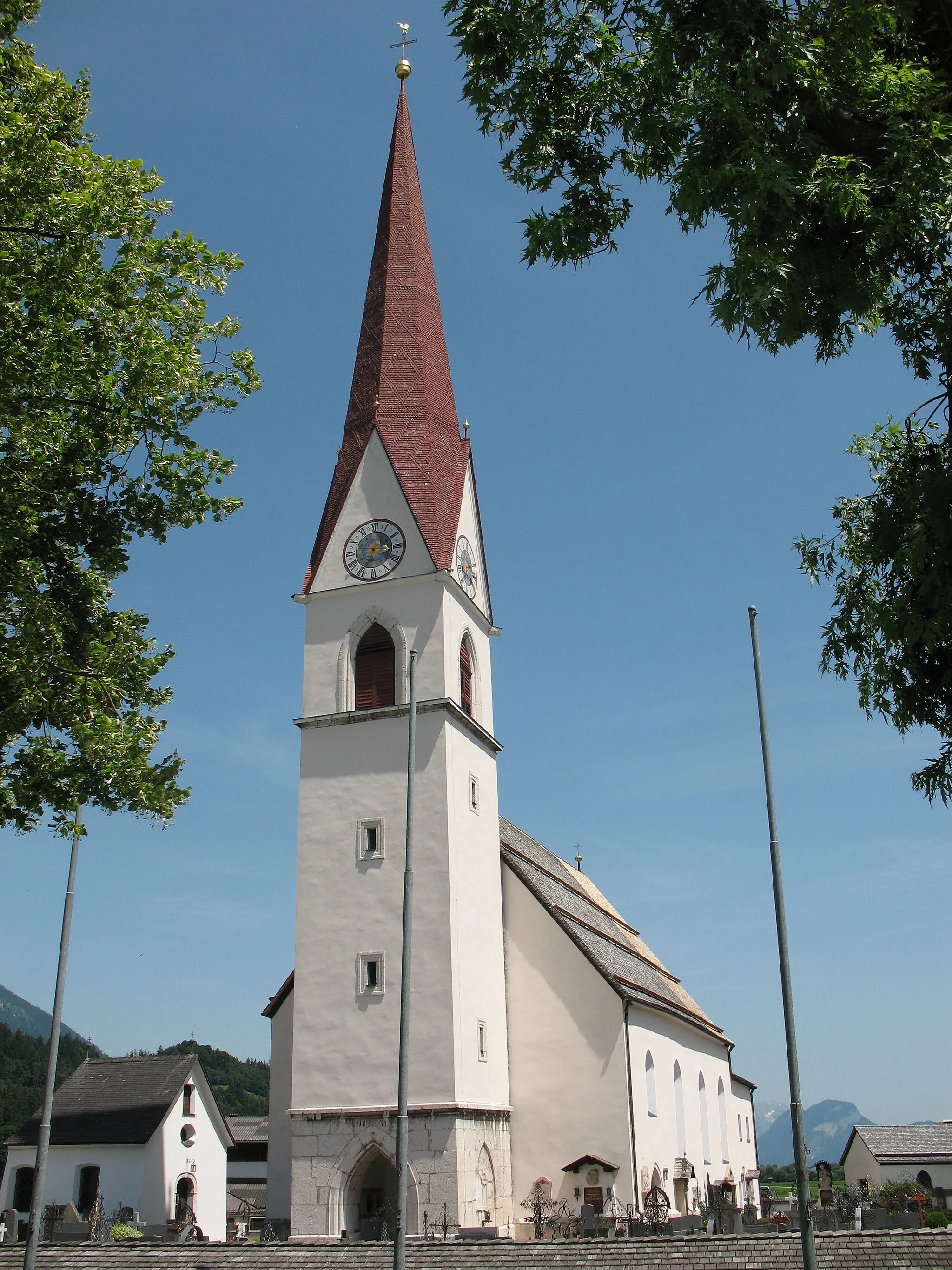
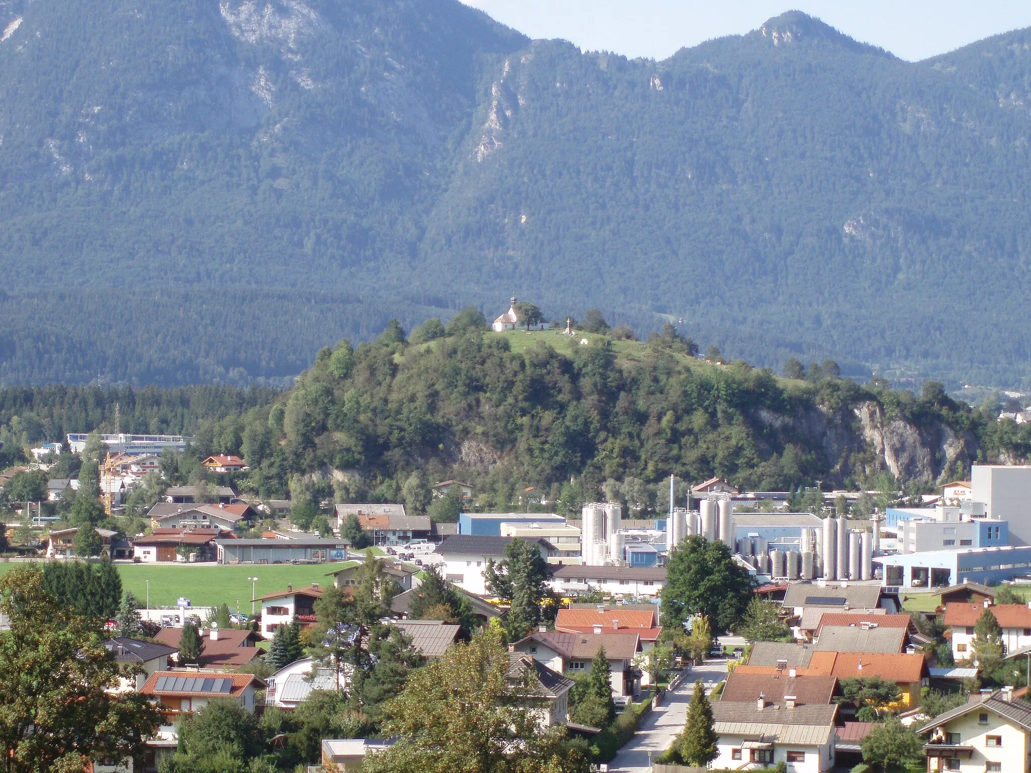
Départ : Breitenbach am Inn Village centerBreitenbach am Inn: Destination alpine incontournable pour les cyclistes.
Breitenbach am Inn, au Tirol, est une destination prisée des cyclistes en raison de ses légendaires cols alpins à proximité. Les routes de montagne offrent des défis passionnants pour les cyclistes expérimentés, avec des panoramas à couper le souffle sur les sommets enneigés. Les cyclistes peuvent également explorer les nombreux sentiers de VTT de la région.8 km
8 km
Stadtberg909 mSommetStadtberg is a peaceful hillside location with panoramic views over the valley below, offering a tranquil retreat for cyclists to unwind and enjoy the scenery.
9 km
9 km
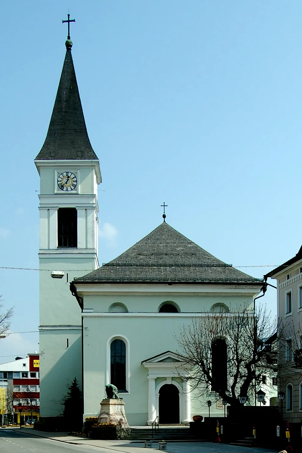
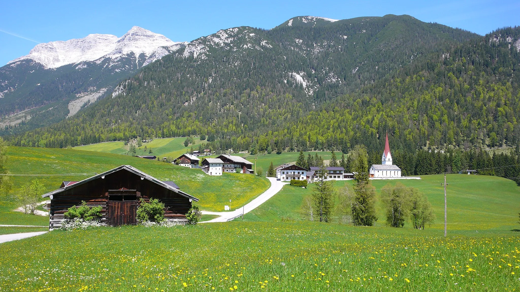
KramsachVillageKramsach is a quaint village known for its historic charm and scenic surroundings, providing a glimpse into traditional Tyrolean life.
21 km
21 km
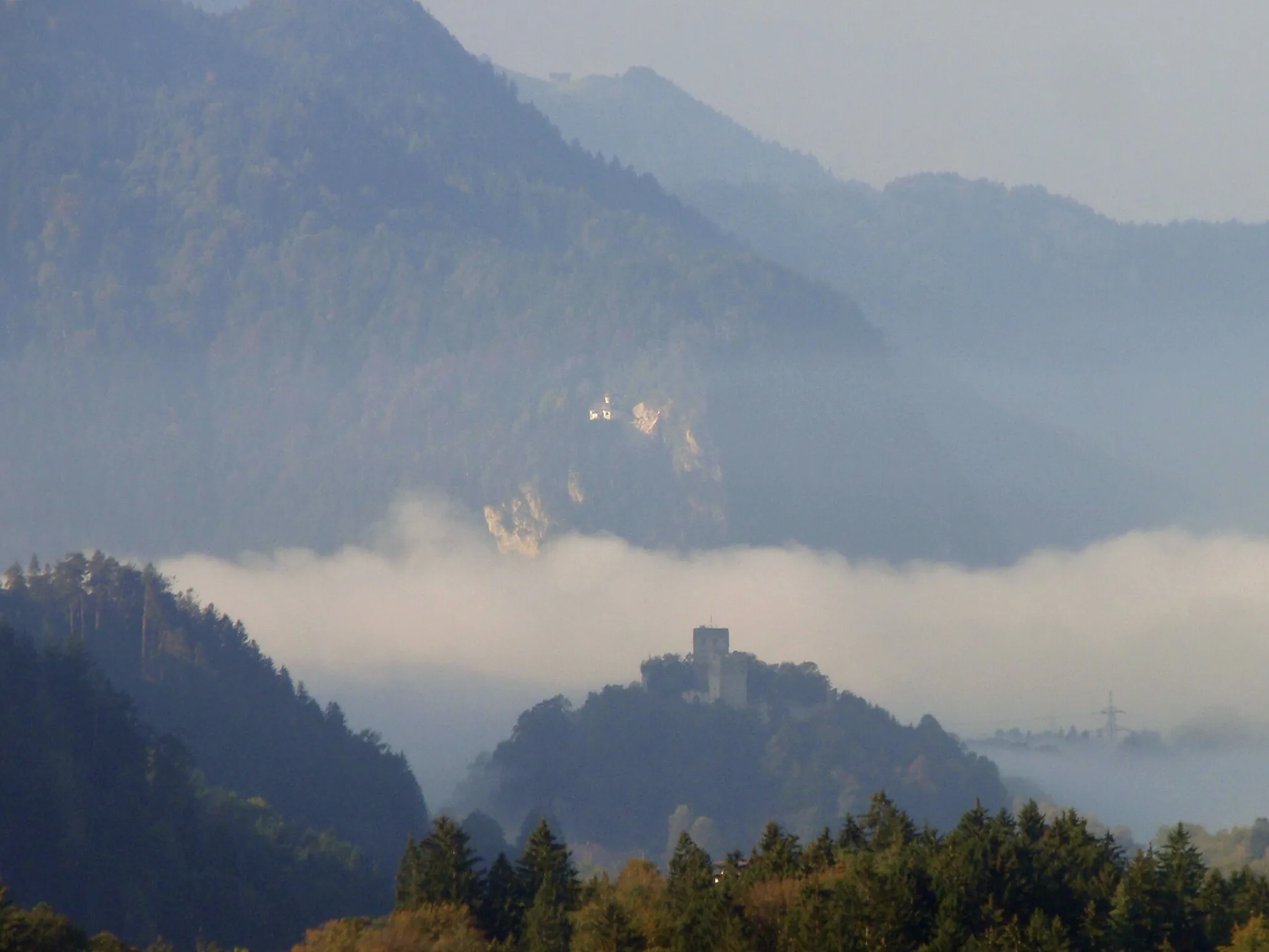
KanzelkehrePoint de vueKanzelkehre is a scenic lookout point offering panoramic views over the Tyrolean Alps, providing a peaceful setting for a break and some reflection during the ride.
27 km
27 km
Dalfazer WasserfallCascadeDalfazer Wasserfall is a stunning waterfall surrounded by lush greenery and serenity, offering a refreshing stop and a closer connection to nature for cyclists on the route.
39 km
39 km
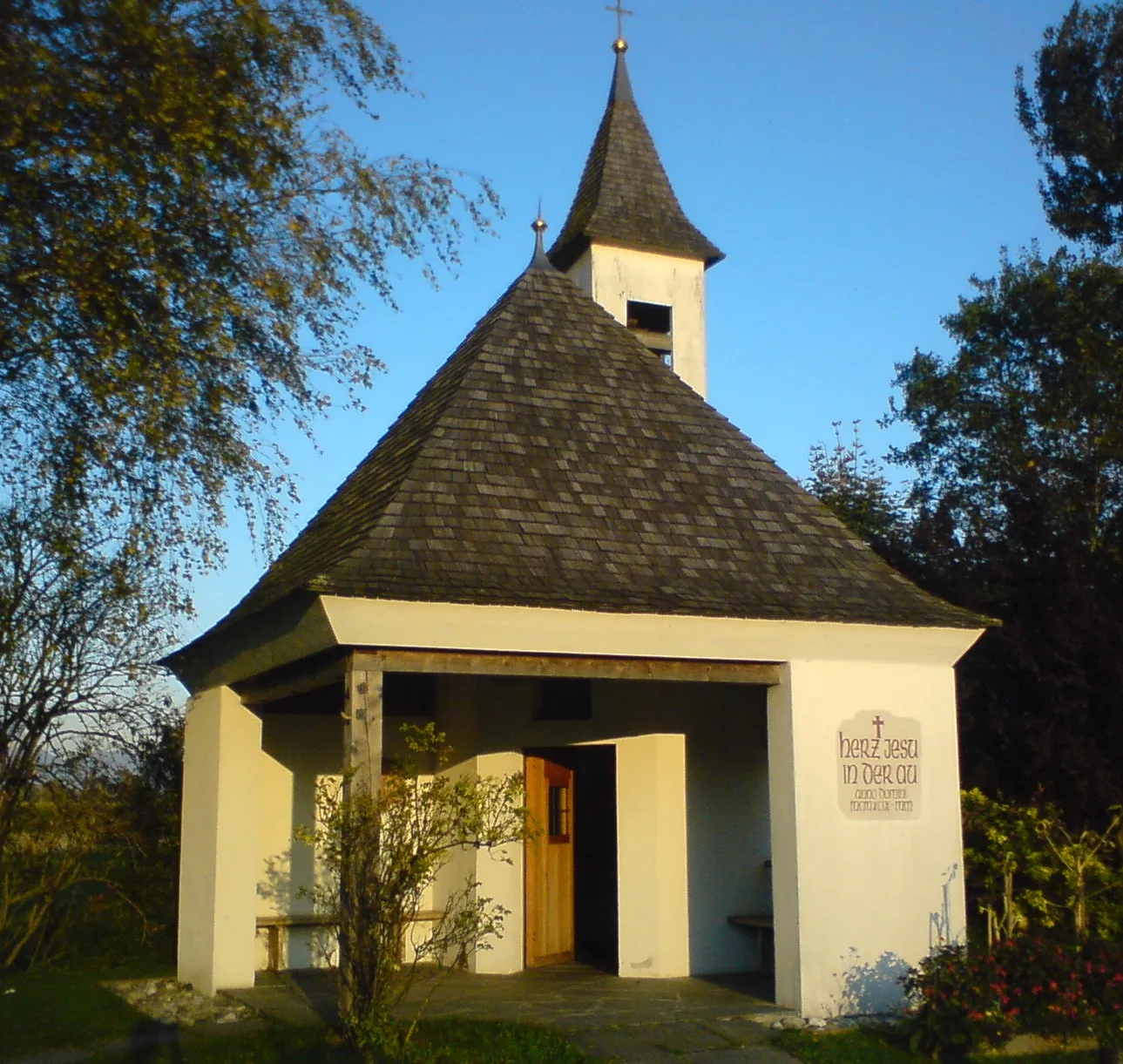
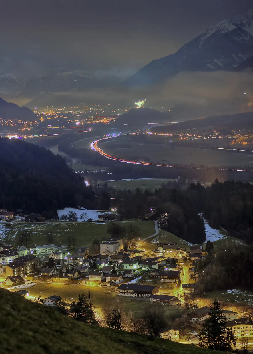
AchenkirchVillageAchenkirch is a picturesque village on the shores of Lake Achenkirch, boasting idyllic views and a serene ambiance perfect for a leisurely exploration.
50 km
50 km
Halslkopf1406 mSommetHalslkopf is a challenging climb with rewarding panoramic views over the surrounding valleys and peaks, providing a sense of accomplishment and adventure for cyclists on the route.
76 km
76 km
Grünkopf1291 mSommetGrünkopf is a scenic viewpoint offering breathtaking vistas of the Tyrolean Alps and the surrounding countryside, making it a must-see spot on the route.
80 km
80 km
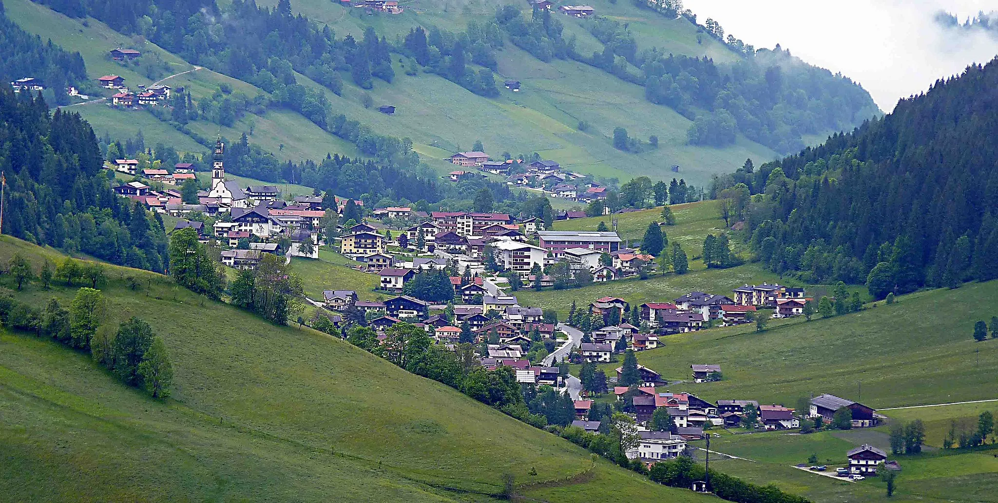
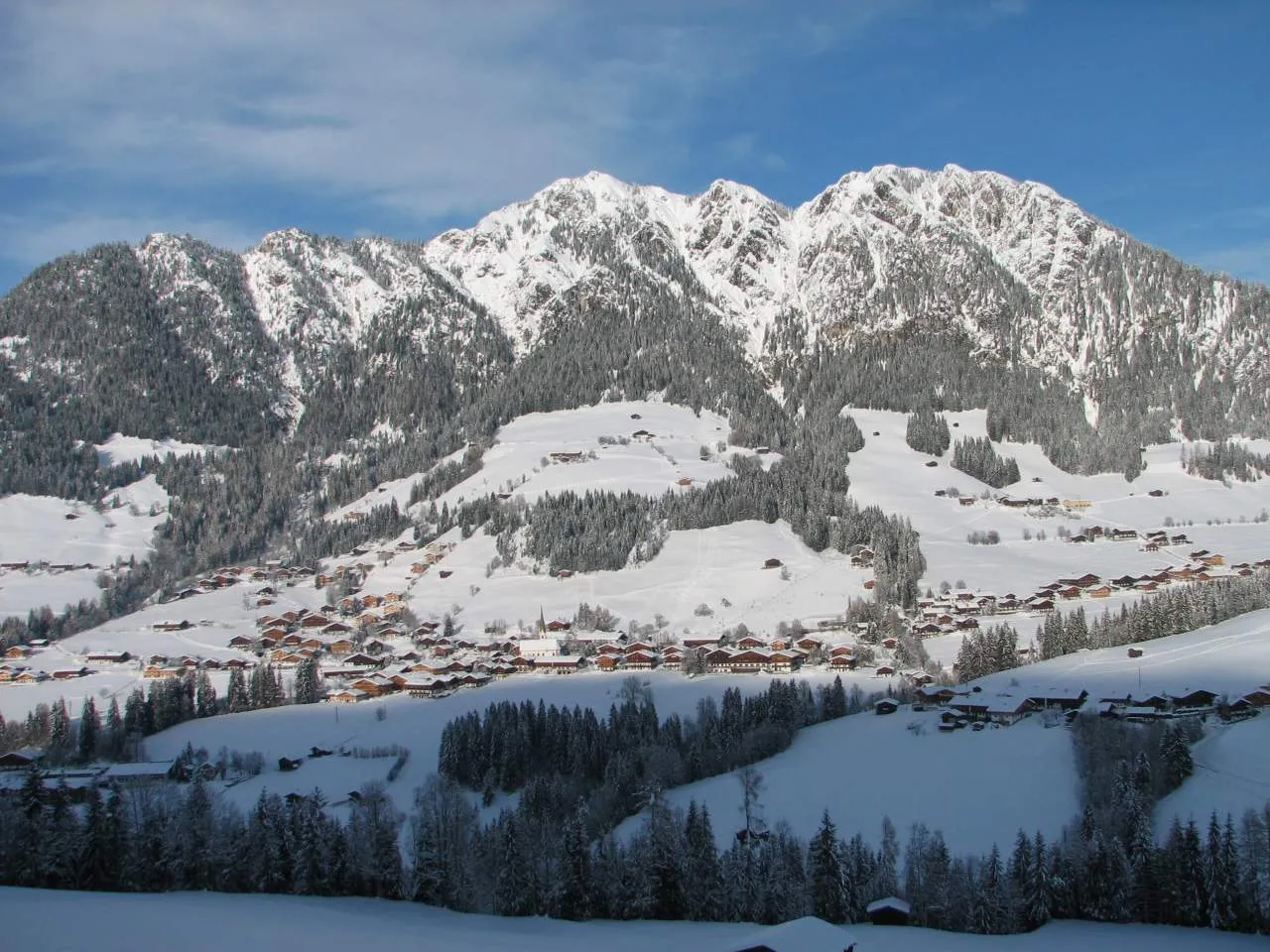
Steinberg am RofanVillageSteinberg am Rofan is a charming village with traditional Tyrolean architecture and stunning mountain views, providing a delightful setting for a rest stop during the ride.
95 km
95 km
BrandenbergVillageBrandenberg is a quaint village nestled in the Tyrolean countryside, offering a peaceful setting for cyclists to unwind and enjoy the beauty of the natural surroundings.
99 km
99 km
Zimmerer Kopf1246 mSommetZimmerer Kopf is a scenic lookout point with panoramic views over the Tyrolean Alps and the surrounding valleys, providing a peaceful setting for cyclists to relax and take in the scenery.
109 km
109 km
Breitenbach am InnVillageBreitenbach am Inn is a picturesque village situated at the foot of the Tyrolean Alps, offering stunning mountain views and charming traditional architecture.
109 km
109 km
Arrivée : Breitenbach am Inn Village centerBreitenbach am Inn: Destination alpine incontournable pour les cyclistes.
Itinéraires à vélo depuis Breitenbach am Inn :
Exploration des Villages Tyroliens en Gravel Défi des Collines Tyroliennes Tour des Vallées alpines Le Tour des Châteaux et Montagnes Aventure Gravel dans les Alpes Parcours Routier Achenkirch Parcours Gravel Halslkopf Boucle Gravel Voldöpper Spitze Boucle Gravel Steinberg am Rofan Itinéraire Touristique Bernau am Chiemsee
Itinéraires cyclables à proximité: