Ascension to the Hochtannbergpass
Un itinéraire de cyclisme road partant de Nenzing
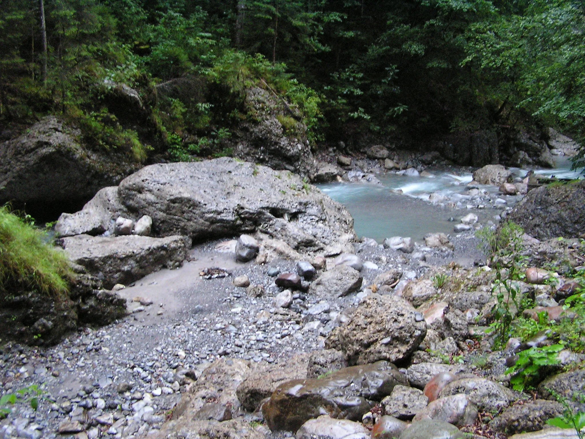
Cycle through challenging slopes and breathtaking scenery
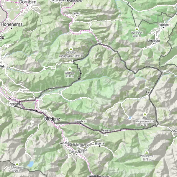
Carte
This road route takes you through picturesque villages like Blons and Schoppernau, leading up to the impressive Hochtannbergpass. Enjoy the scenic beauty of the Flexenpass before descending back to Nenzing. The route offers a good balance of challenging ascents and stunning views.
road
119 km
3441 m
Difficile
Profil de l'itinéraire
Points forts sur l'itinéraire
0 km
0 km
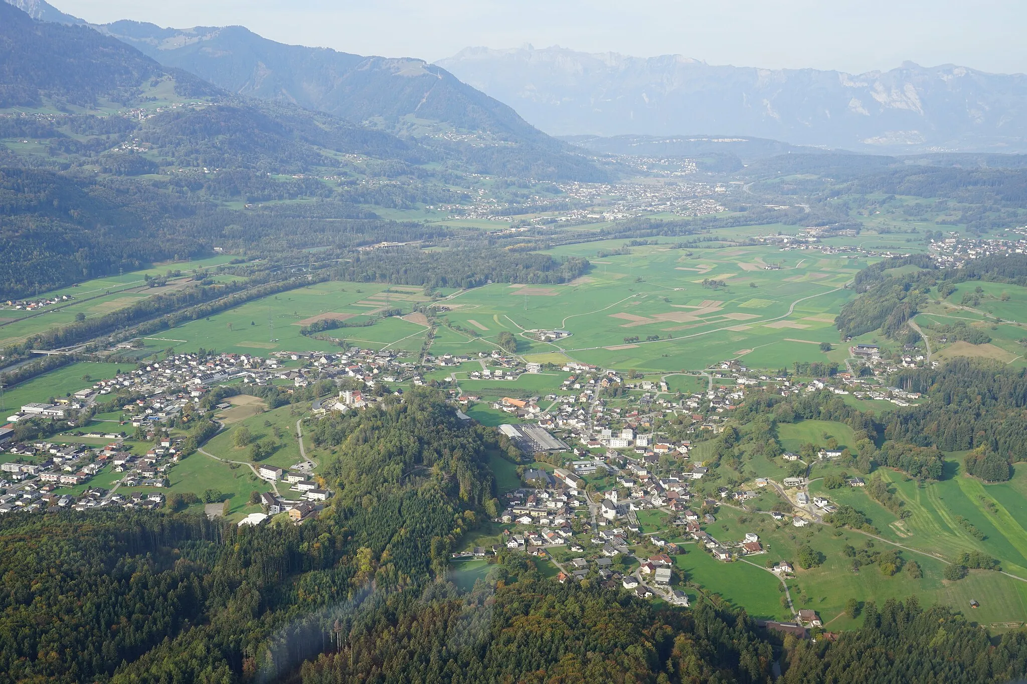
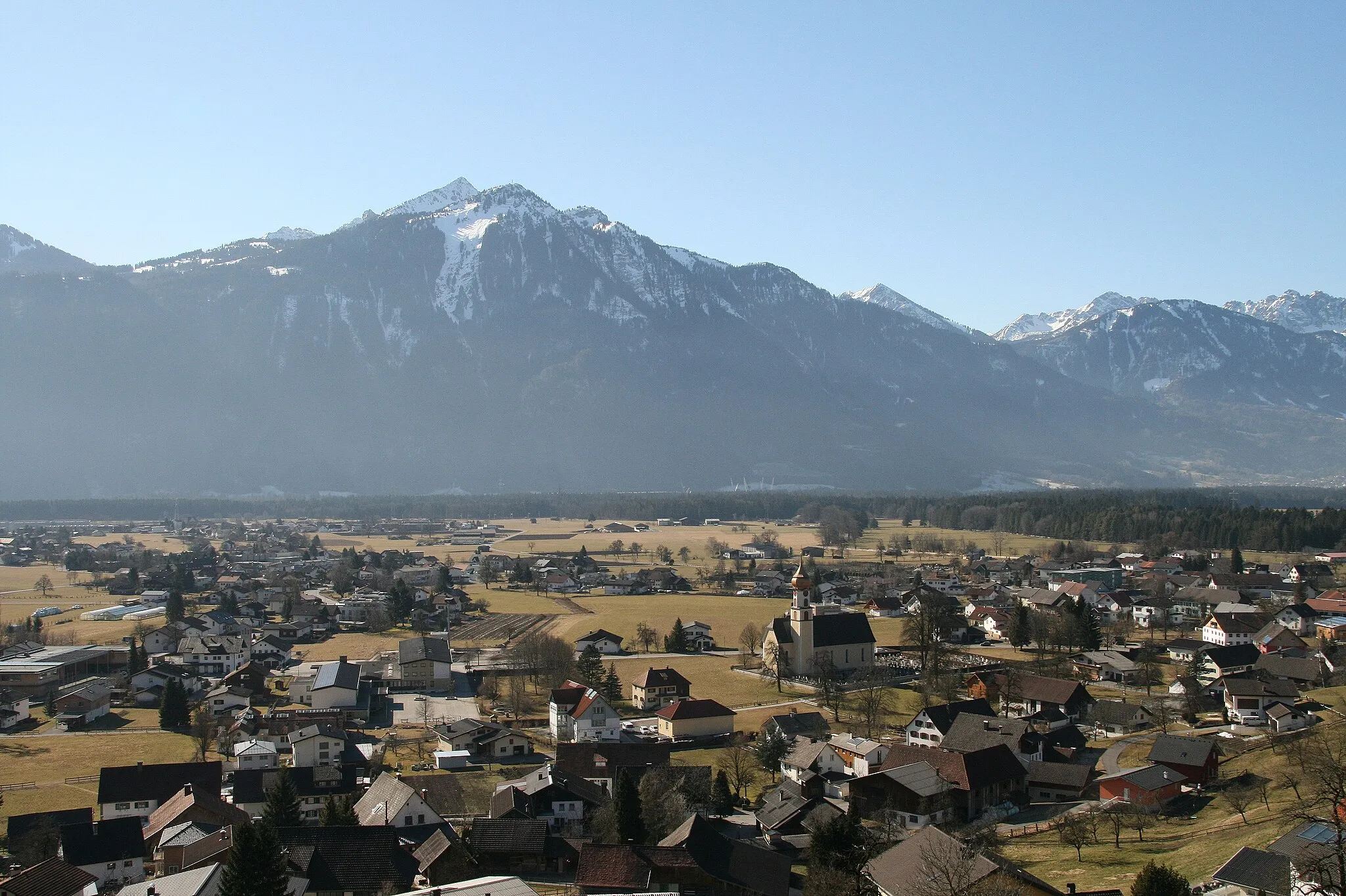
Départ : Nenzing Village centerNenzing: Des montagnes majestueuses et des défis à relever pour les cyclistes gravel.
Nenzing, situé dans la région de Vorarlberg en Autriche, offre de superbes routes pour les cyclistes amateurs de gravier. Les montagnes environnantes offrent des vues magnifiques et des défis intéressants. Dans les environs, vous trouverez le col de l'Arlberg, célèbre pour ses ascensions difficiles.4 km
4 km
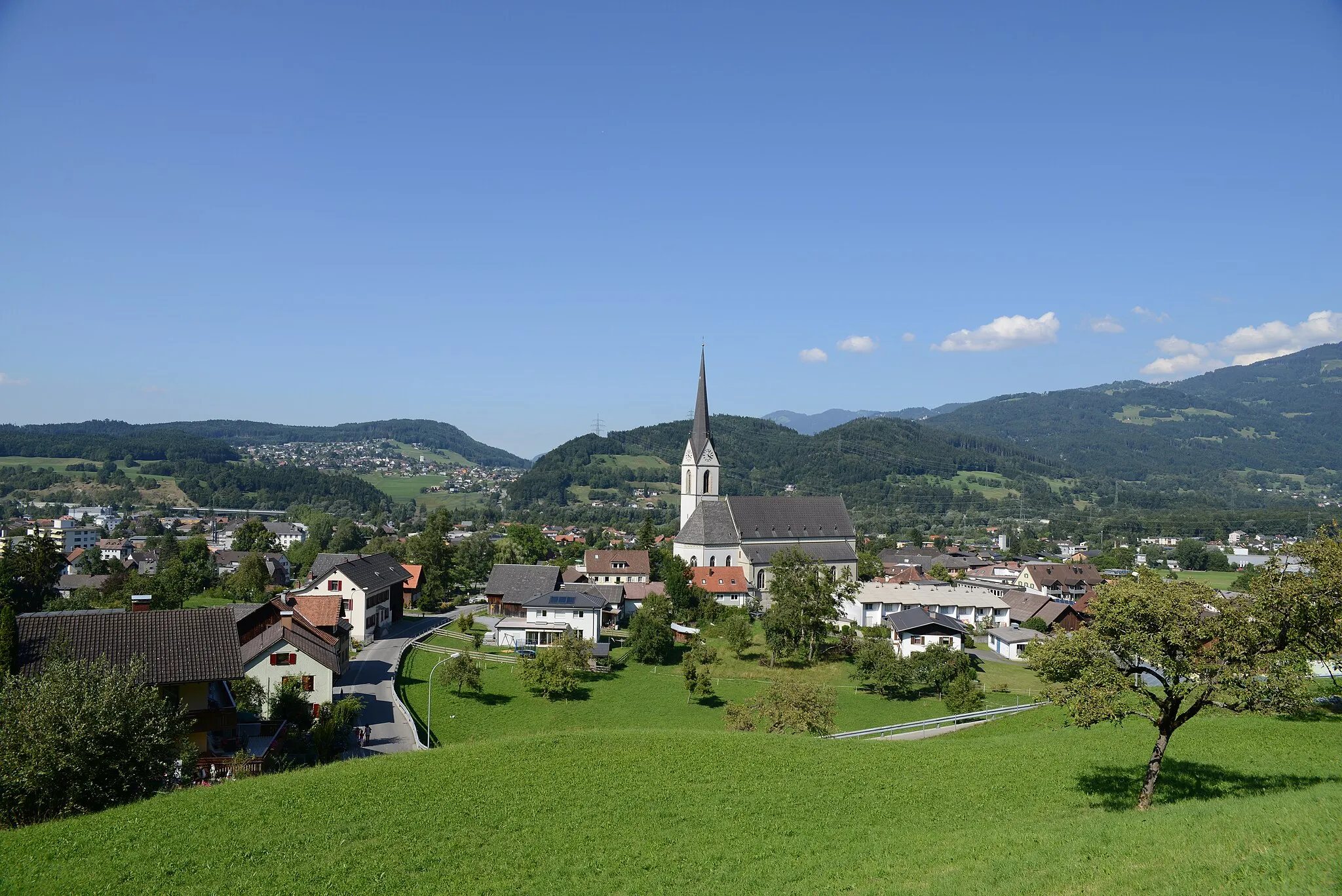
BludeschVillageExperience the charm of Bludesch and its surrounding landscapes.
13 km
13 km
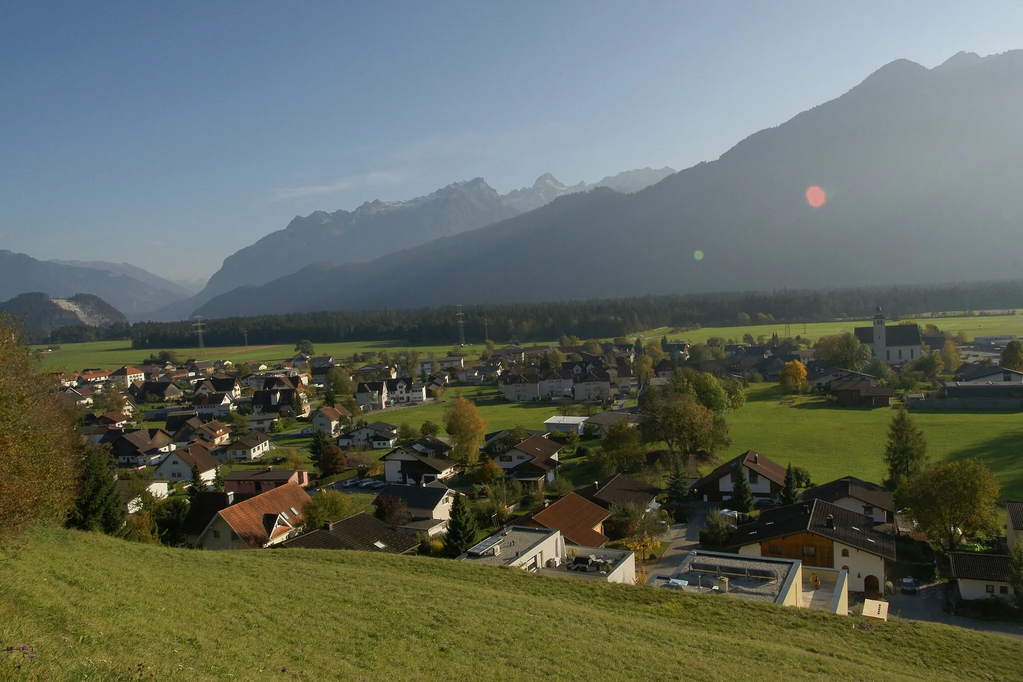
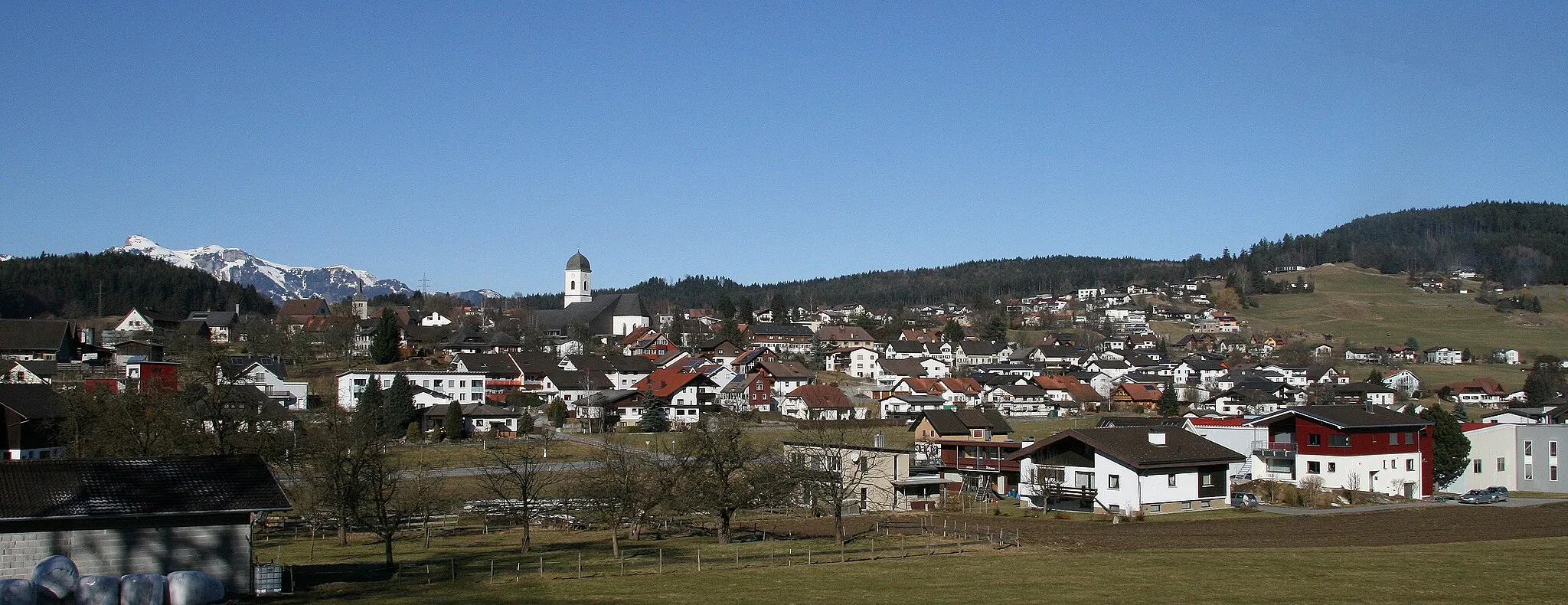
BlonsVillagePass through the quaint village of Blons known for its traditional architecture.
26 km
26 km
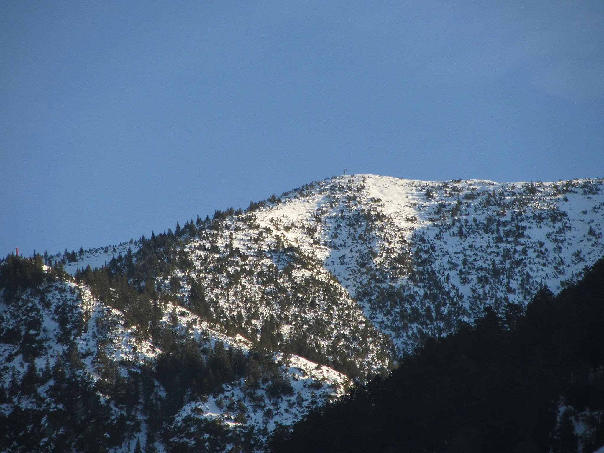
Faschinajoch1486 mCol de montagneAscend to the windy Faschinajoch mountain pass and enjoy panoramic views.
42 km
42 km
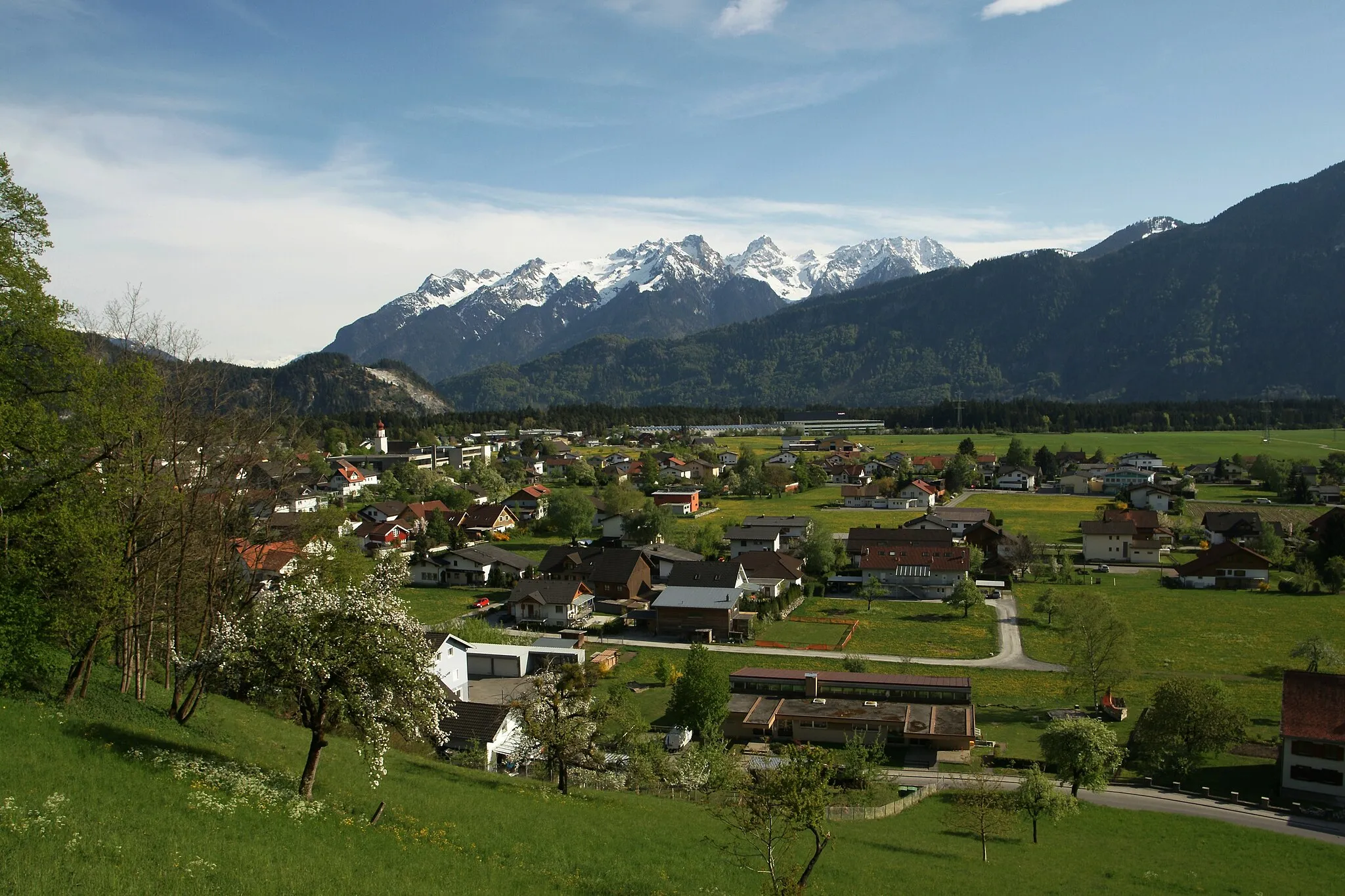
SchoppernauVillageDiscover the authentic Austrian village of Schoppernau along the route.
51 km
51 km
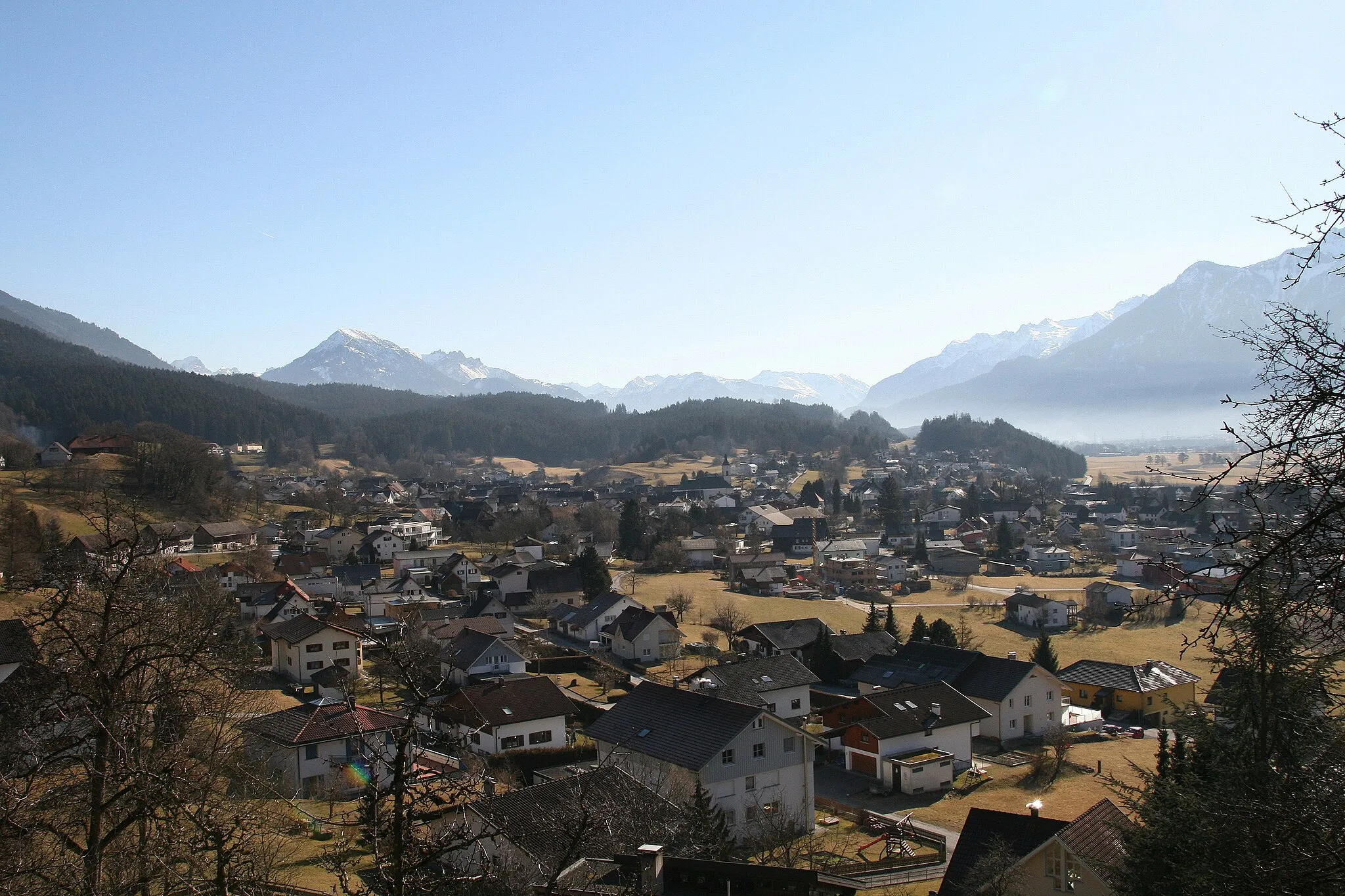
SchröckenVillageRide through Schröcken and enjoy the peaceful mountain atmosphere.
57 km
57 km
Hochtannbergpass1675 mCol de montagneReach the Hochtannbergpass with stunning views of the surrounding peaks.
68 km
68 km
LechVillageAdmire the alpine beauty of Lech as you ride through this charming town.
74 km
74 km
Flexenpass1773 mCol de montagneCross over the Flexenpass and marvel at the surrounding alpine landscape.
84 km
84 km
Schnauzlberg1913 mSommetNavigate through the challenging ascent of Schnauzlberg on your way back.
92 km
92 km
DalaasVillagePass through Dalaas, a serene village with traditional Austrian architecture.
109 km
109 km
BürsVillagePedal through the town of Bürs as you approach the end of your journey.
111 km
111 km
KänzelePoint de vueFinish at Känzele after a spectacular ride through diverse landscapes.
119 km
119 km
Arrivée : Nenzing Village centerNenzing: Des montagnes majestueuses et des défis à relever pour les cyclistes gravel.
Itinéraires à vélo depuis Nenzing :
Ascension to the Hochtannbergpass Boucle gravel pittoresque autour de Nenzing Parcours routier épique autour de Nenzing Balade relaxante dans la campagne autrichienne Off-Road Exploration to Laterns-Thal Aventure cycliste époustouflante autour de Nenzing Scenic Tour to Ruine Welsch-Ramschwag Spectacular Ride to Vandans Route pittoresque à travers les Alpes autrichiennes Gravel Adventure to Fontanella Tour des sommets de Vorarlberg en vélo de route
Itinéraires cyclables à proximité: