Aéroport de Paris-Charles-de-Gaulle Loop
Un itinéraire de cyclisme road partant de Saint-Denis
Explore the area around the famous airport
Carte
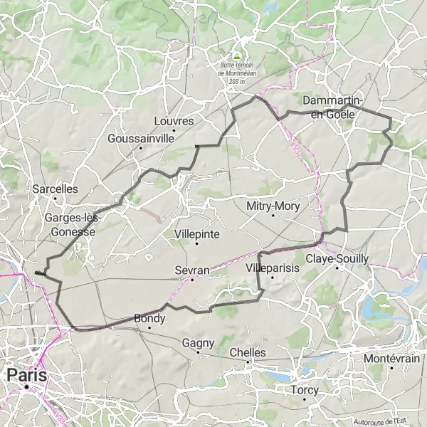
This 88km road route takes you through Saint-Denis, Roissy-en-France, Dammartin-en-Goële, and Bobigny. Be sure to check out the spotting location along the way for some plane spotting. The route offers a mix of urban and scenic views, making it an exciting cycling adventure near Paris.
road
88 km
501 m
Difficile
Profil de l'itinéraire
Points forts sur l'itinéraire
0 km
0 km
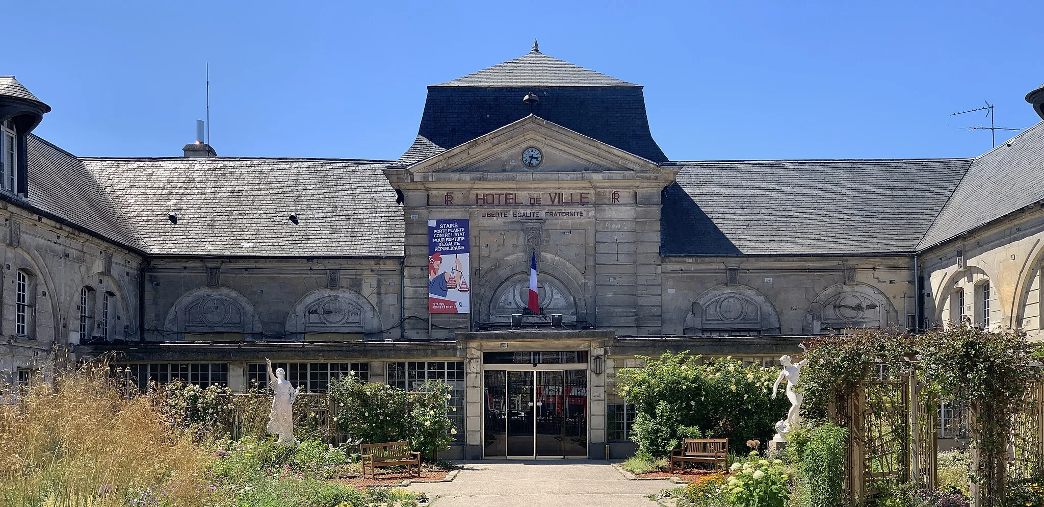
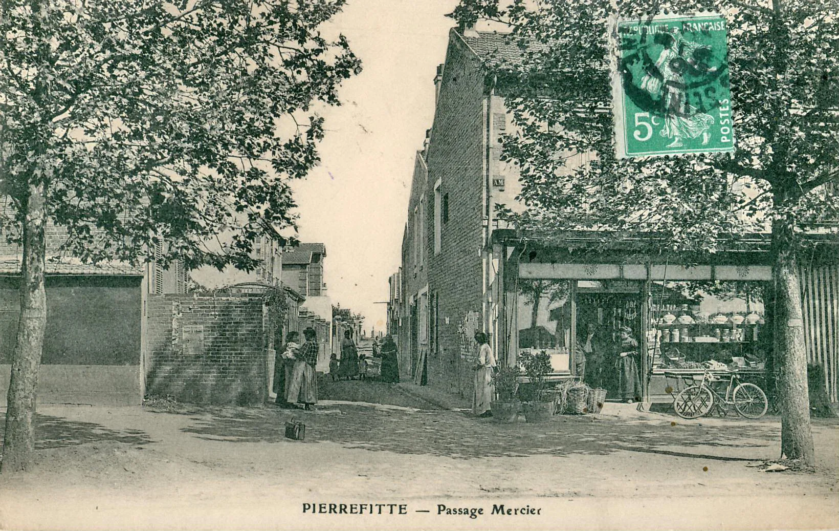
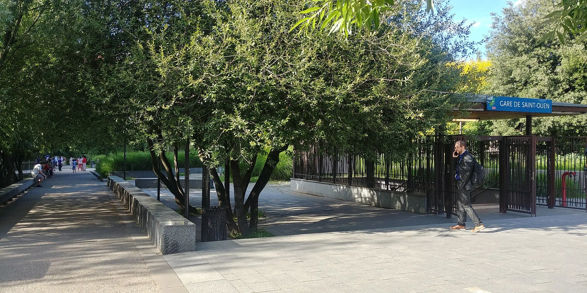
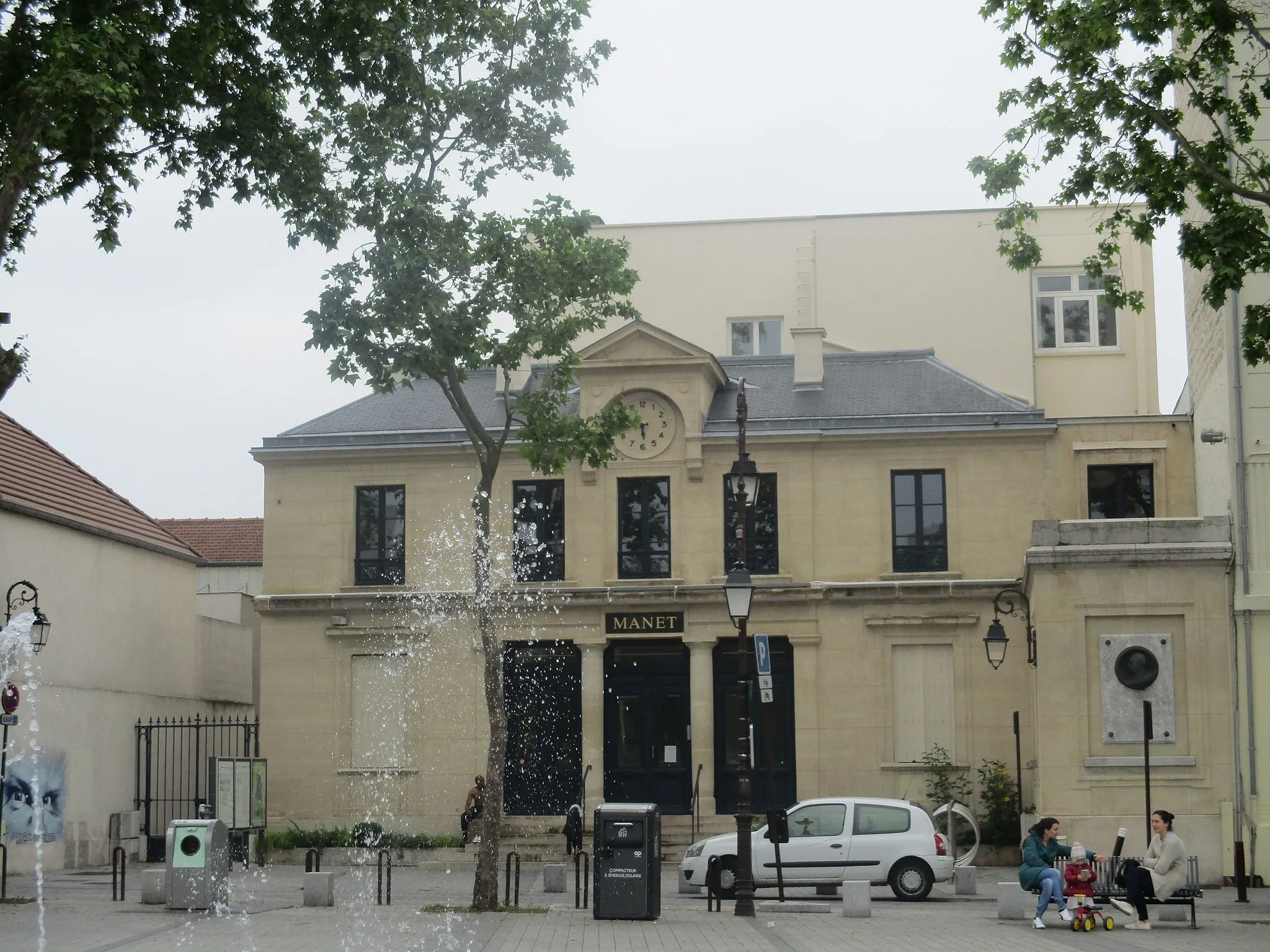
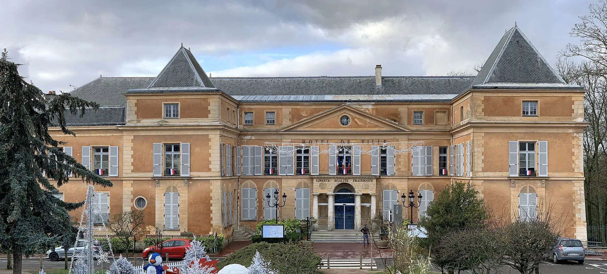
Départ : Saint-Denis City centerSaint-Denis: Exploration cycliste de Saint-Denis et au-delà.
Saint-Denis est une ville animée offrant aux cyclistes un mélange de défis urbains et de pistes cyclables panoramiques. Les itinéraires le long de la Seine offrent de superbes vues sur Paris. À proximité, découvrez le célèbre Col de la République, une montée réputée dans la région.0 km
0 km
Saint-DenisVilleGet a unique view of the airport runway at the spotting location.
16 km
16 km
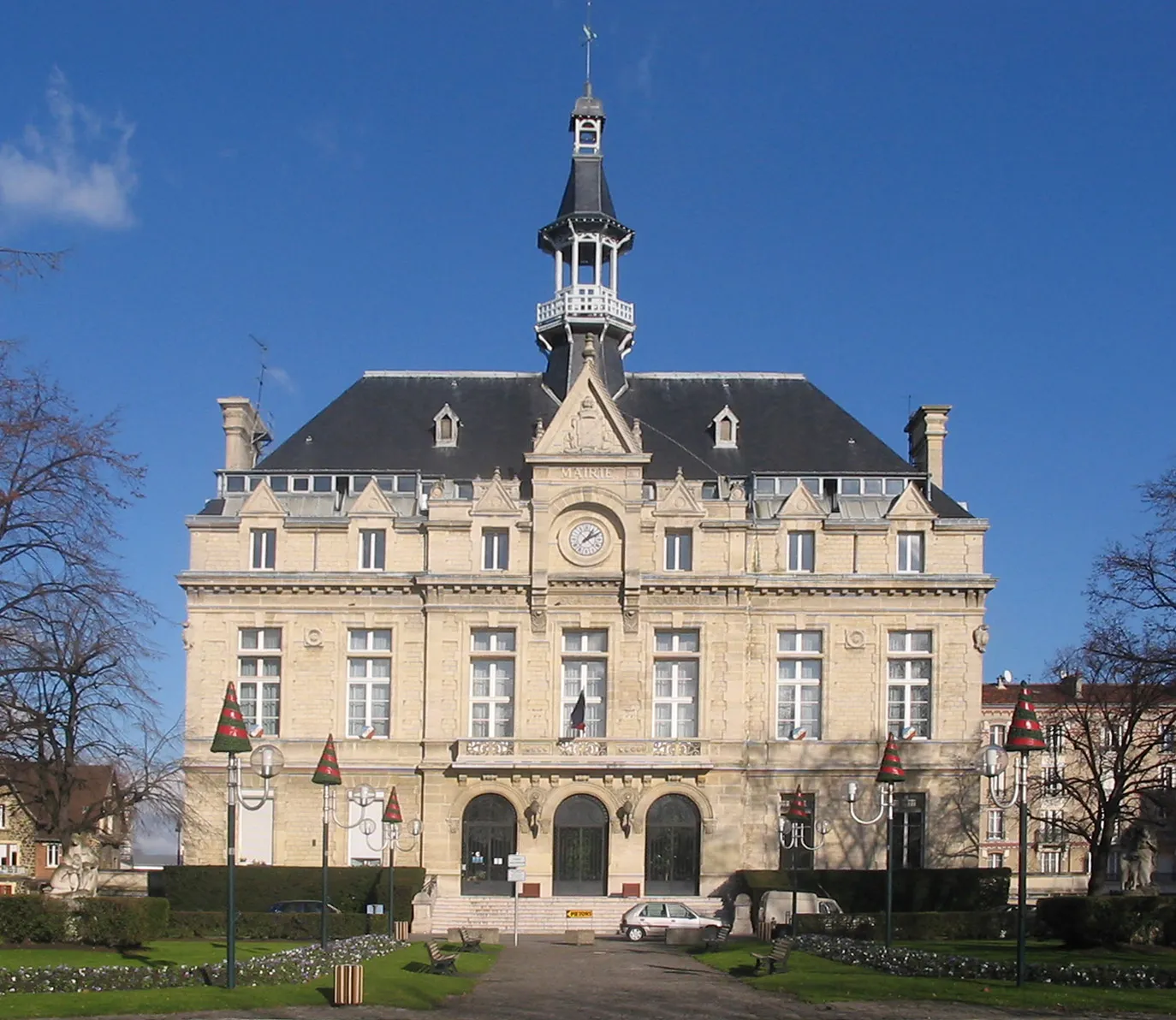
Roissy-en-FranceVillageRoissy-en-France offers a charming village atmosphere along the route.
22 km
22 km
Spotting locationPoint de vueAdmire the planes taking off and landing at this spotting location.
35 km
35 km
Dammartin-en-GoëleVillePass through the historic town of Dammartin-en-Goële during your ride.
48 km
48 km
NantouilletVillageDiscover the peaceful village of Nantouillet as you cycle through.
70 km
70 km
Clichy-sous-BoisVilleExperience the diversity of landscapes in this area, from urban to suburban.
78 km
78 km
BobignyVilleBobigny is a vibrant town with plenty of attractions to explore.
86 km
86 km
La CourneuveVilleLa Courneuve is a stop along the route with historical significance.
88 km
88 km
Arrivée : Saint-Denis City centerSaint-Denis: Exploration cycliste de Saint-Denis et au-delà.
Itinéraires à vélo depuis Saint-Denis :
Aventure Gravel au Départ de Saint-Denis Épinay-sur-Seine Loop Boucle Routière à partir de Saint-Denis Tour de Gravel autour de Saint-Denis Gonesse Countryside Ride Boucle de la Vallée de la Seine Aéroport de Paris-Charles-de-Gaulle Loop Clamart Gravel Adventure Boucle autour de Saint-Denis Défi Routier autour de Saint-Denis
Itinéraires cyclables à proximité: