![Cover image](https://images.tarmacs.app/cycling-routes/photos/france/provence-alpes-cote-dazur/266956240/breil-sur-roya-5.webp)
Mont Grazian Adventure
Un itinéraire de cyclisme gravel partant de Breil-sur-Roya
Embark on a gravel adventure to Mont Grazian and beyond
Carte
![Miniature de la carte de l'inspiration cycliste "Mont Grazian Adventure" dans la Provence-Alpes-Côte d’Azur, France. Générée par le planificateur d'itinéraire cycliste Tarmacs.app](https://images.tarmacs.app/cycling-routes/routemaps/600/france/provence-alpes-cote-dazur/breil-sur-roya/gravel/23953.webp)
The Mont Grazian Adventure route is a thrilling 39km ride with an ascent of 1467m. Ride through rugged terrain and past highlights like Mont Grazian and Col de Brouis. As you pedal through this scenic route, you'll be rewarded with stunning views and a sense of accomplishment.
gravel
39 km
1467 m
Difficile
Profil de l'itinéraire
Points forts sur l'itinéraire
0 km
0 km
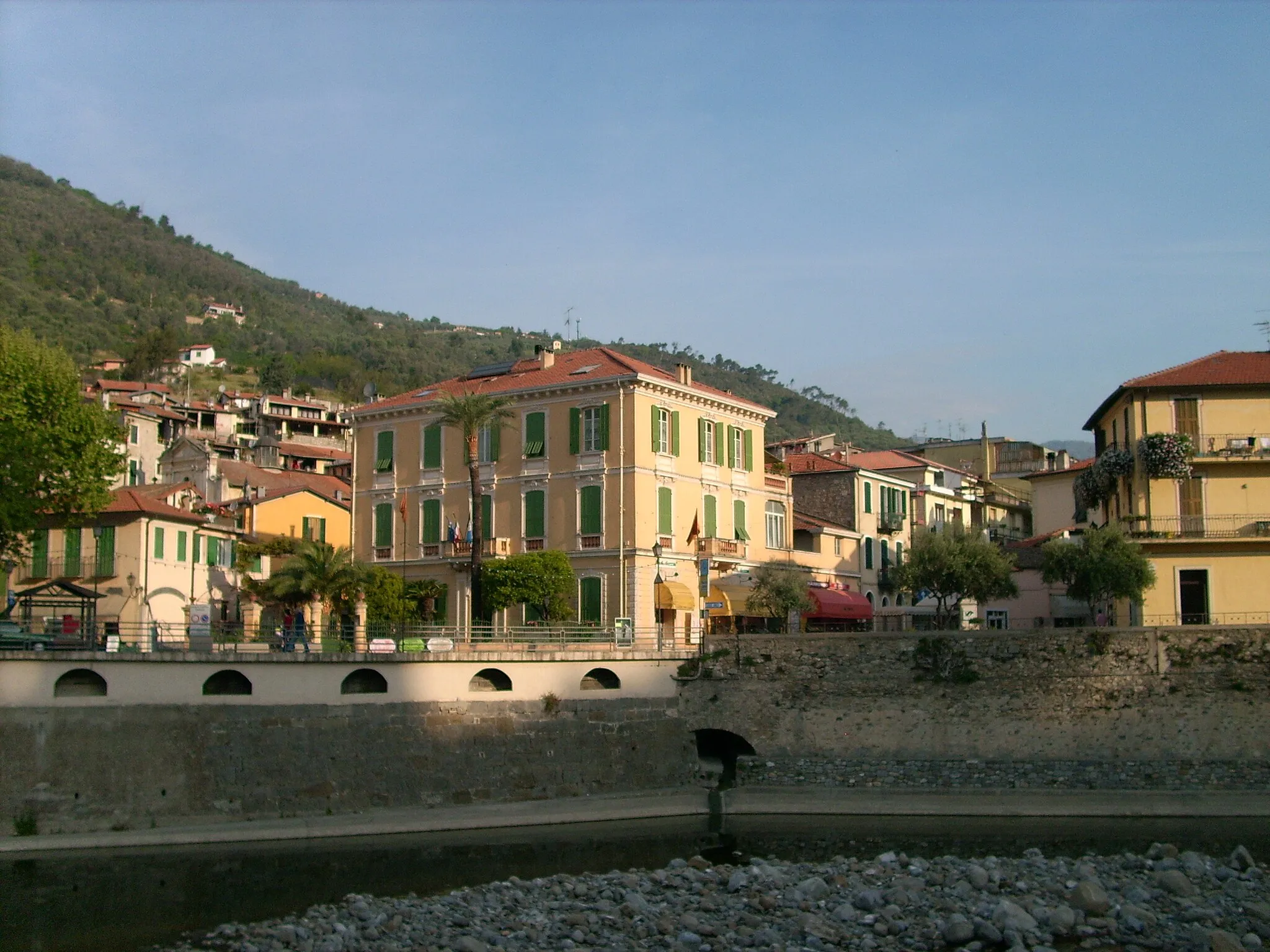
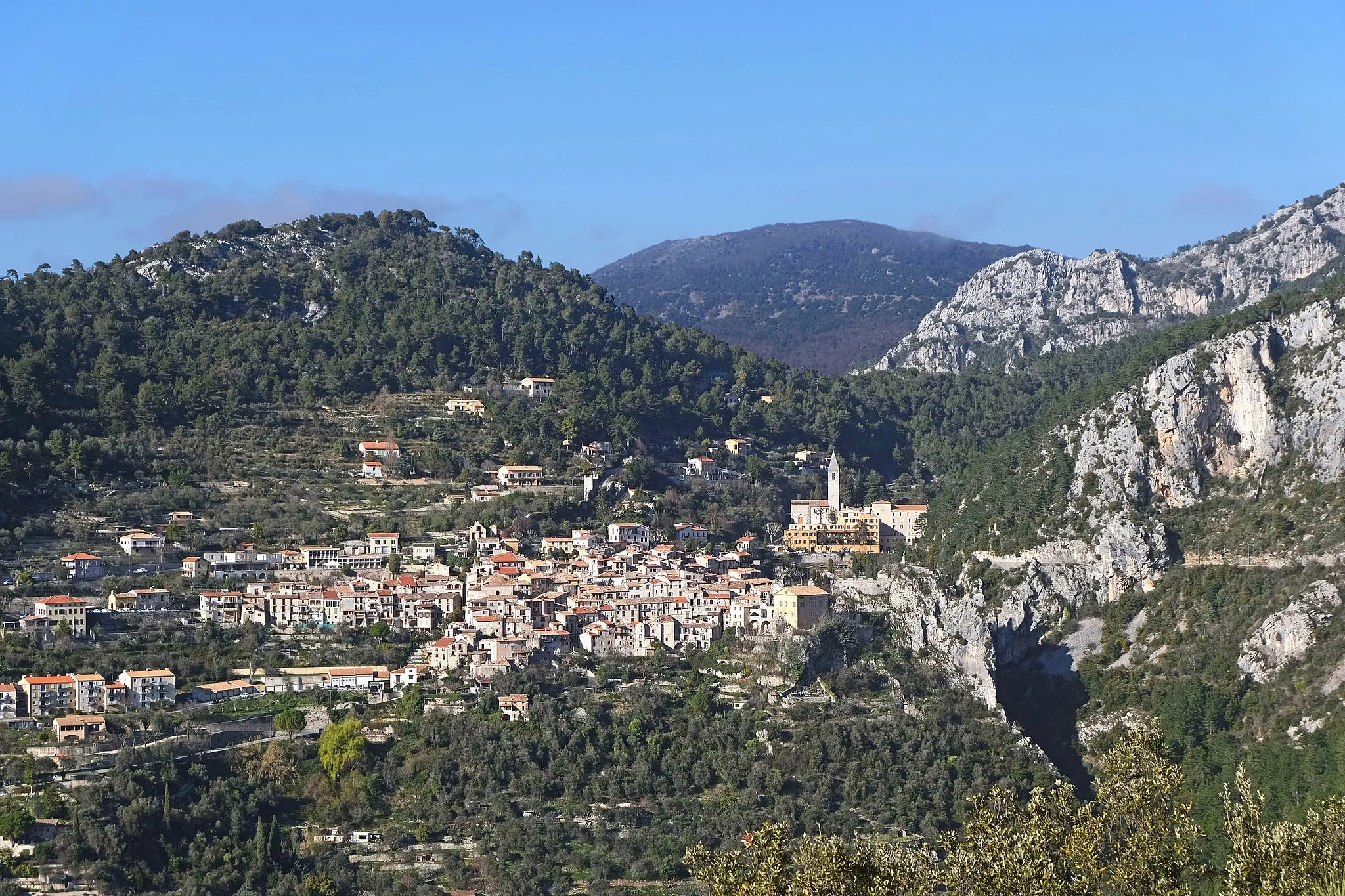
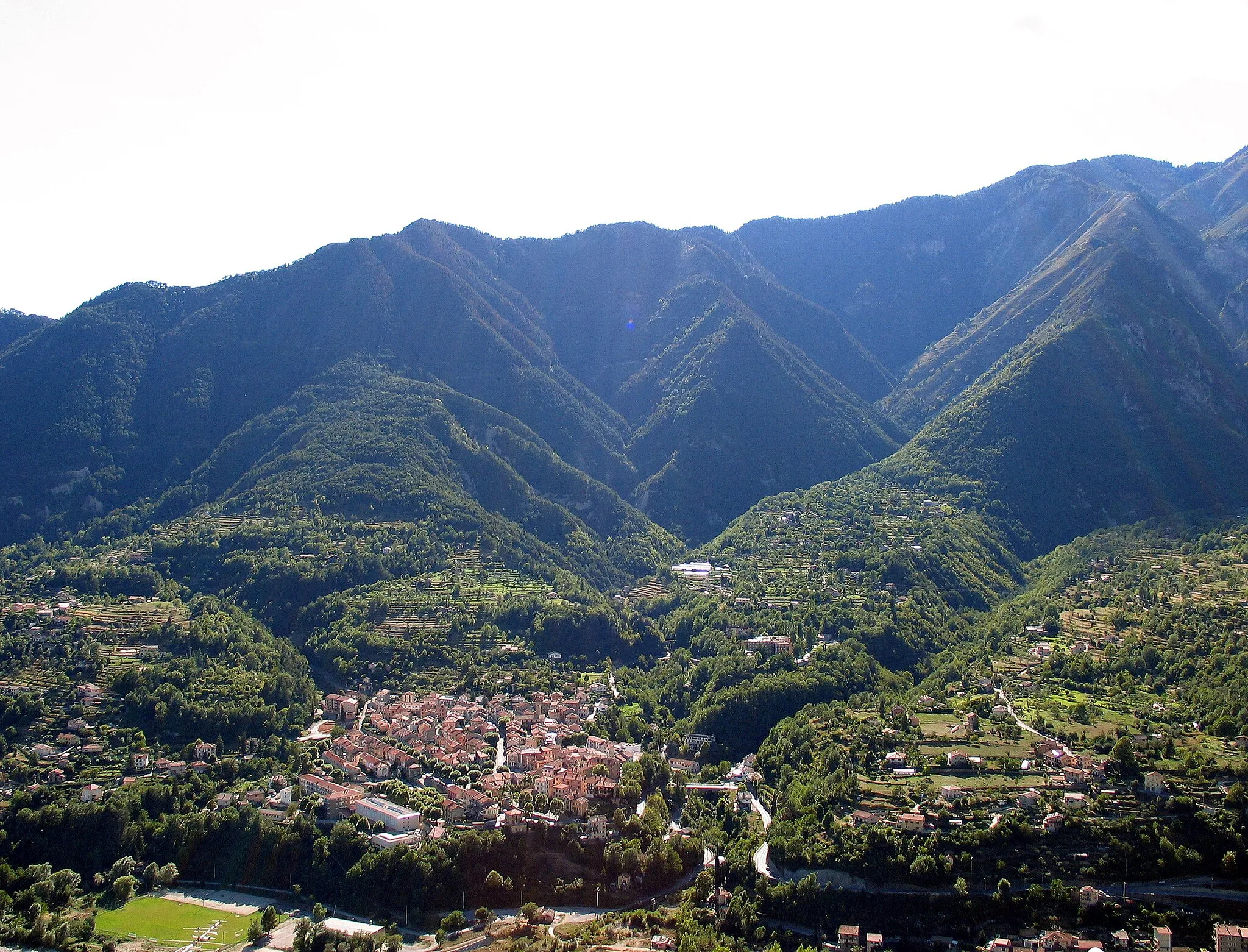
Départ : Breil-sur-Roya Village centerBreil-sur-Roya: Aventure cycliste au cœur des montagnes
Breil-sur-Roya, en Provence-Alpes-Côte d’Azur, est un petit village niché au cœur des montagnes offrant des paysages à couper le souffle pour les cyclistes. Les routes sinueuses et les chemins de gravel promettent des aventures inoubliables. À proximité, le mythique col de Turini est un défi de renommée mondiale pour les amateurs de cyclisme.12 km
12 km
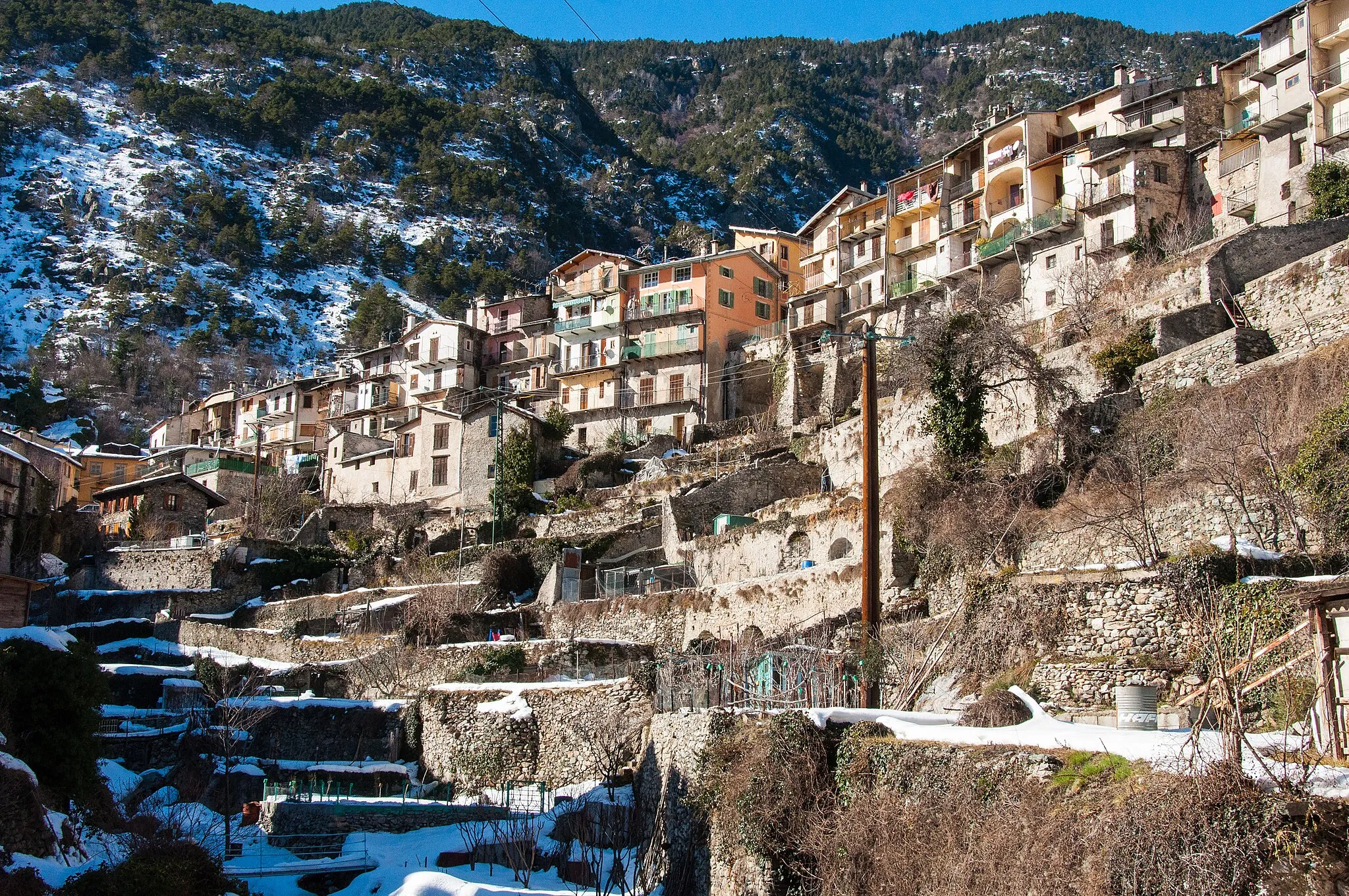
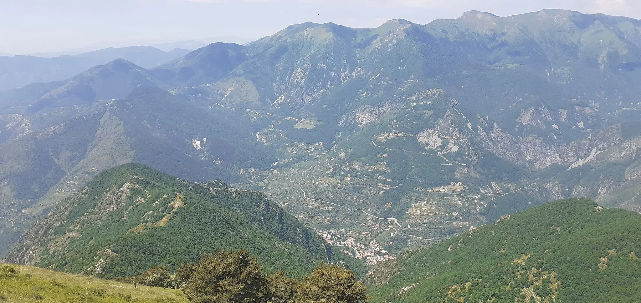
Mont Grazian862 mSommetDiscover the beauty of Mont Grazian and its surrounding landscapes.
30 km
30 km
Col de Brouis879 mCol de montagneCross the challenging Col de Brouis pass and enjoy panoramic views.
39 km
39 km
Breil-sur-RoyaVillageFinish your journey back in the charming village of Breil-sur-Roya.
39 km
39 km
Arrivée : Breil-sur-Roya Village centerBreil-sur-Roya: Aventure cycliste au cœur des montagnes
Itinéraires cyclables à proximité:
![Image de Sospel](https://images.tarmacs.app/cycling-routes/covers/france/provence-alpes-cote-dazur/sospel-5.webp)
![Image de Dolceacqua](https://images.tarmacs.app/cycling-routes/covers/italy/liguria/dolceacqua-4.webp)
![Image de Camporosso](https://images.tarmacs.app/cycling-routes/covers/italy/liguria/camporosso-3.webp)
![Image de L'Escarène](https://images.tarmacs.app/cycling-routes/covers/france/provence-alpes-cote-dazur/l-escarene-4.webp)
![Image de Peille](https://images.tarmacs.app/cycling-routes/covers/france/provence-alpes-cote-dazur/peille-4.webp)
![Image de Tende](https://images.tarmacs.app/cycling-routes/covers/france/provence-alpes-cote-dazur/tende-5.webp)
![Image de Menton](https://images.tarmacs.app/cycling-routes/covers/france/provence-alpes-cote-dazur/menton-5.webp)
![Image de Ventimiglia](https://images.tarmacs.app/cycling-routes/covers/italy/liguria/ventimiglia-5.webp)
![Image de Roquebillière](https://images.tarmacs.app/cycling-routes/covers/france/provence-alpes-cote-dazur/roquebilliere-5.webp)