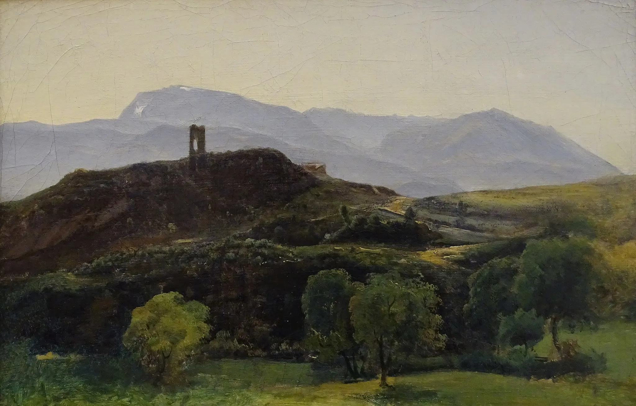
Col du Granier et Molard
Un itinéraire de cyclisme road partant de Poisat
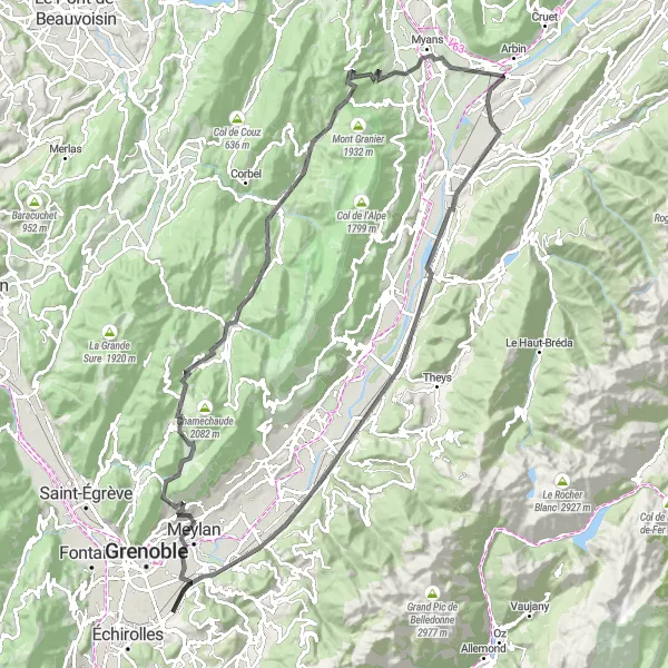
Parcours de 119 km avec 2342 m de dénivelé.
Carte
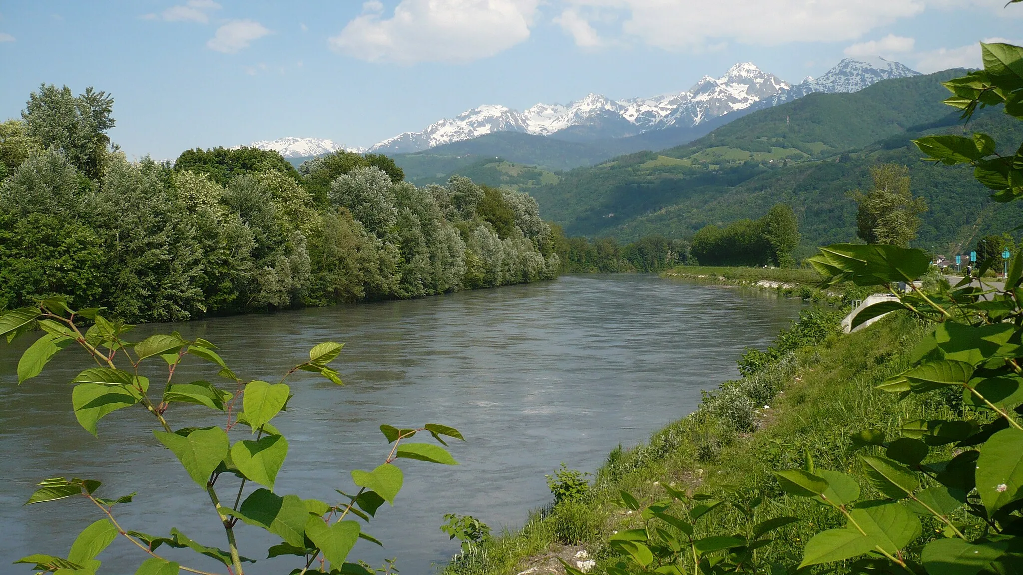
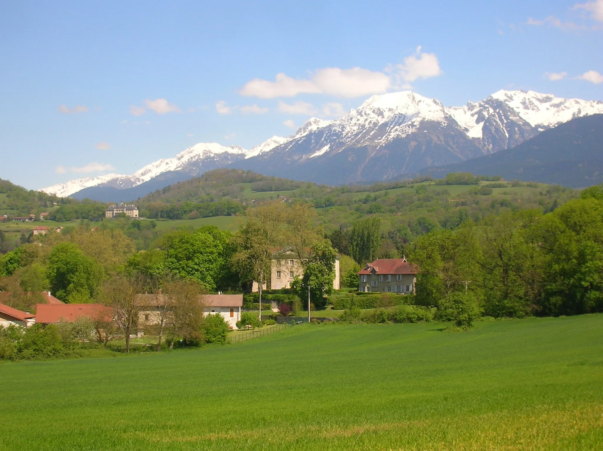
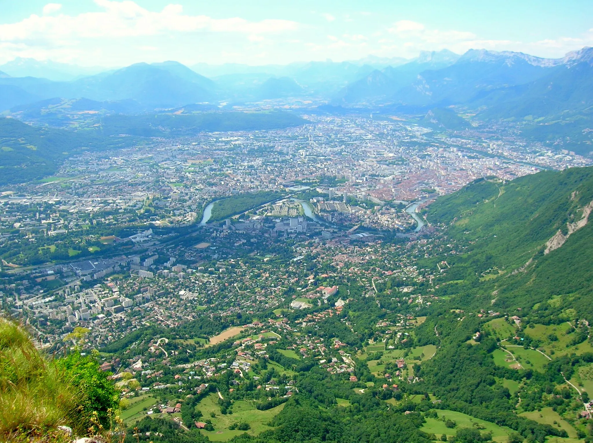
Ce parcours de vélo de route vous emmène à travers des sites emblématiques tels que Col du Granier et Molard, offrant des vues spectaculaires sur les montagnes environnantes. Découvrez des villages pittoresques comme Corenc et Goncelin, tout en profitant de la beauté naturelle de la région de Rhône-Alpes.
road
119 km
2342 m
Sauvage
Profil de l'itinéraire
Points forts sur l'itinéraire
0 km
0 km
Départ : Poisat Village centerPoisat: Défis alpins à Poisat
Poisat, en Rhône-Alpes, est entouré de magnifiques montagnes offrant des parcours de cyclisme époustouflants. Les cyclistes trouveront de nombreux cols de montagne à gravir pour tester leur endurance. Non loin de Poisat se trouve l'incontournable Mont Ventoux, un must pour les amateurs de cyclisme.10 km
10 km
CorencVillageCorenc is a charming village with historic architecture and a peaceful atmosphere, allowing cyclists to explore its cultural heritage during a relaxing stop.
16 km
16 km
L'Écoutoux1406 mPoint de vueL'Écoutoux is a scenic spot with panoramic views of the surrounding countryside, providing cyclists with a tranquil setting to enjoy the natural beauty of the region.
31 km
31 km
Saint-Pierre-de-ChartreuseVillageSaint-Pierre-de-Chartreuse is a picturesque town surrounded by lush forests and majestic mountains, offering a peaceful retreat for cyclists to unwind and recharge.
35 km
35 km
Col du Cucheron1140 mCol de montagneCol du Cucheron is a challenging climb with rewarding views at the summit, allowing cyclists to admire the stunning landscapes of the Chartreuse Regional Nature Park.
42 km
42 km
Saint-Pierre-d'Entremont (Isère)VillageSaint-Pierre-d'Entremont is a quaint village with traditional charm and friendly locals, providing cyclists with a warm welcome and a glimpse into local life.
52 km
52 km
Col du Granier1134 mCol de montagneCol du Granier is a famous mountain pass with sweeping views of the surrounding peaks, attracting cyclists seeking a challenging ascent and breathtaking panoramas.
71 km
71 km
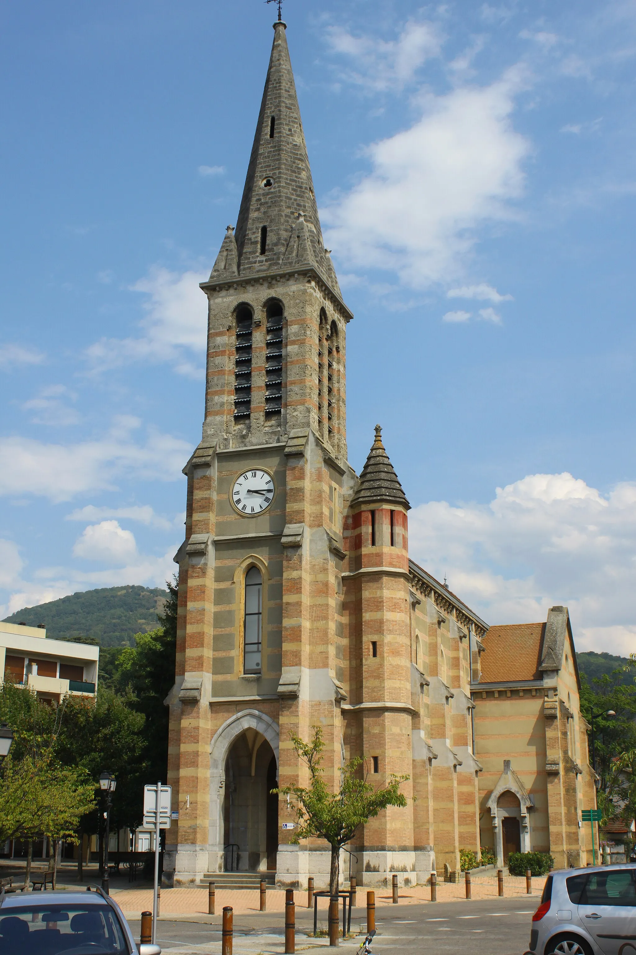
MontmélianVillageMontmélian is a historic town with medieval architecture and a vibrant atmosphere, offering cyclists a cultural stop to explore its heritage and local traditions.
91 km
91 km
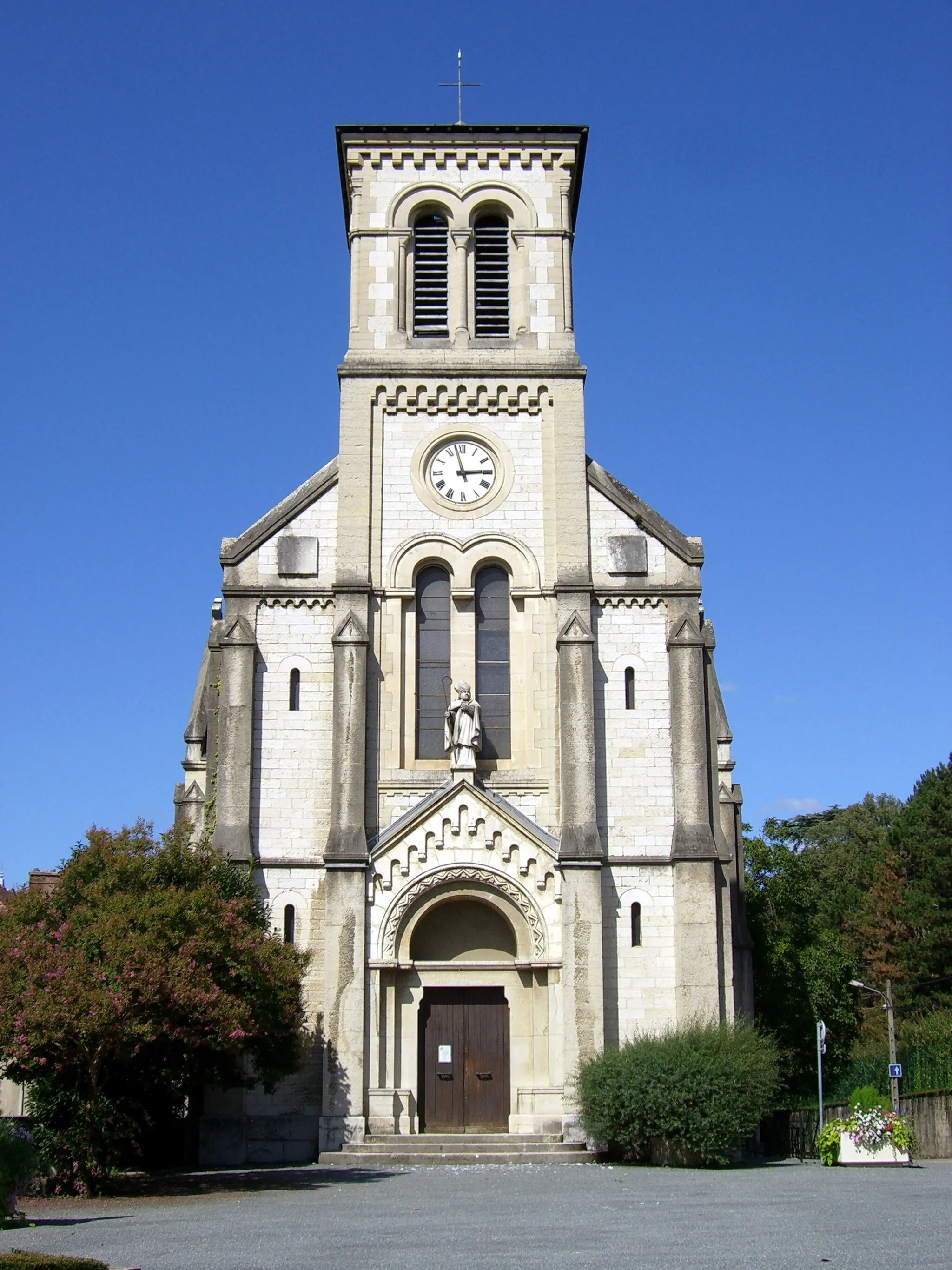
GoncelinVillageGoncelin is a picturesque village with a tranquil ambiance and scenic landscapes, providing cyclists with a peaceful setting to rest and refuel during their journey.
105 km
105 km
Villard-BonnotVillageVillard-Bonnot is a charming town with a rich history and traditional charm, offering cyclists a chance to explore its cultural sites and local cuisine.
115 km
115 km
Molard427 mSommetMolard is a scenic viewpoint overlooking the valley, providing cyclists with a peaceful spot to relax and take in the beauty of the natural surroundings.
119 km
119 km
Arrivée : Poisat Village centerPoisat: Défis alpins à Poisat
Itinéraires à vélo depuis Poisat :
Les sommets de Chartreuse La boucle des châteaux et des fortifications Col de la Croix Perrin et La Buffe La boucle des sommets Les Charmettes et Mondieu Mont Jalla et Belvédère du Sabot Le tour des grands rochers Le tour des vallées et des cols Col du Granier et Molard Les Trois Pucelles et Étienne Grappe
Itinéraires cyclables à proximité: