Randonnée au Crêt Saint-Georges
Un itinéraire de cyclisme gravel partant de Saint-Symphorien-sur-Coise
An adventurous gravel cycling journey through rugged terrain and stunning natural landscapes
Carte
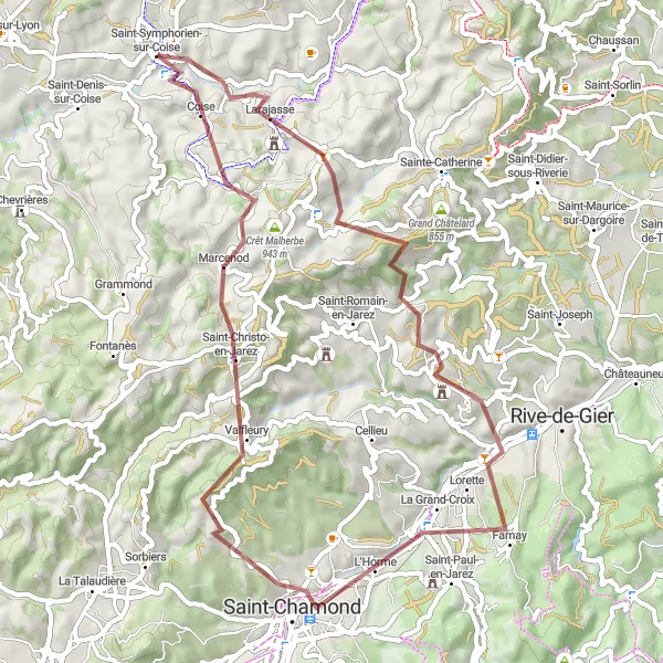
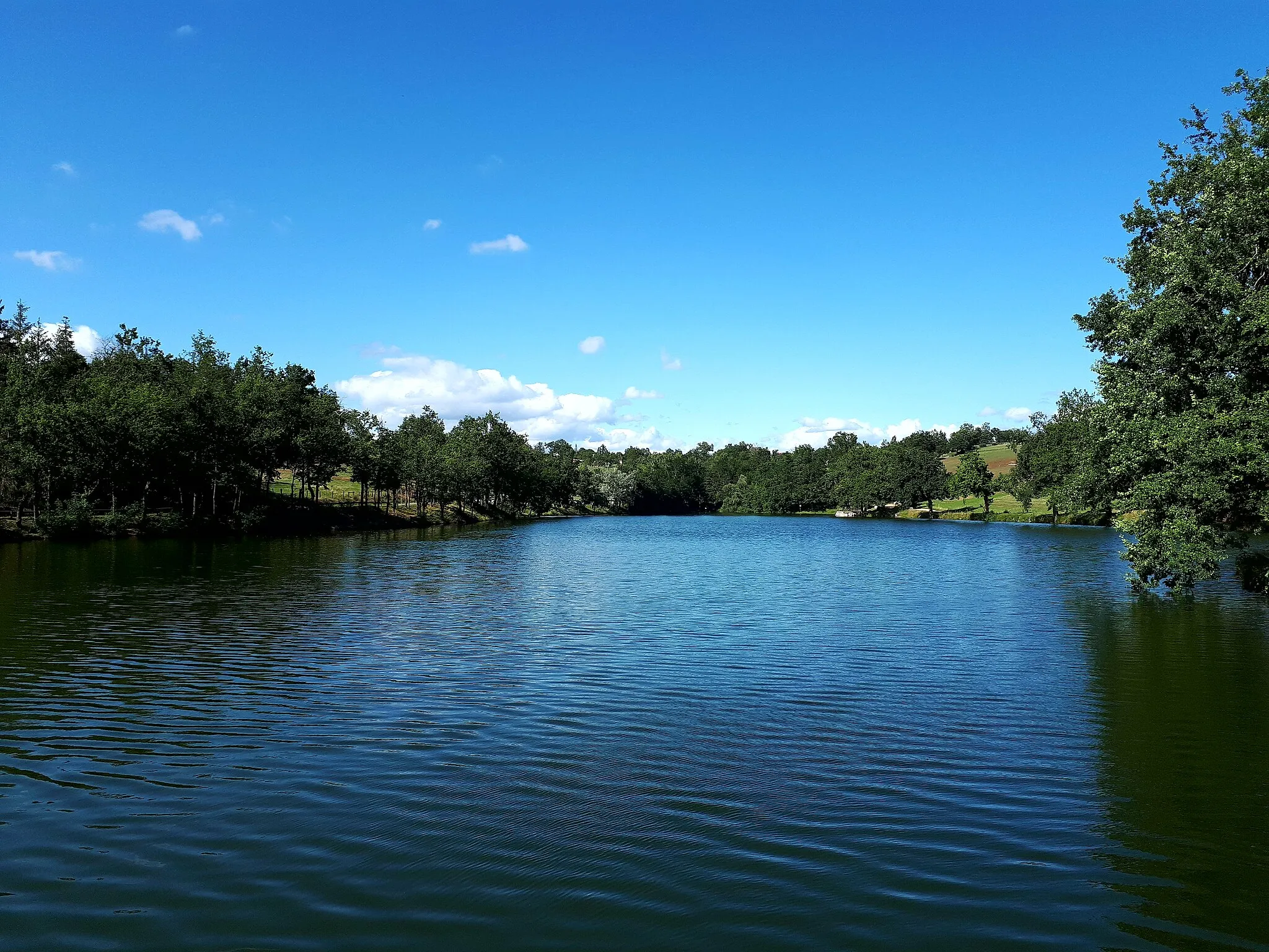
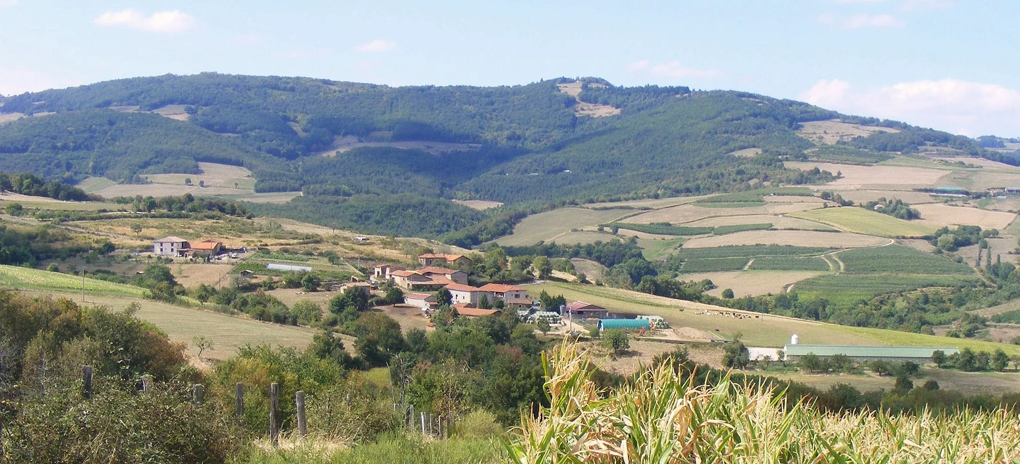
La randonnée au Crêt Saint-Georges vous emmène dans une aventure épique à travers un terrain accidenté et des paysages naturels à couper le souffle. Les sentiers de gravier offrent un défi excitant pour les cyclistes avides d'explorer la nature sauvage. Découvrez des panoramas spectaculaires et des endroits pittoresques lors de cette randonnée mémorable.
gravel
57 km
1476 m
Difficile
Profil de l'itinéraire
Points forts sur l'itinéraire
0 km
0 km
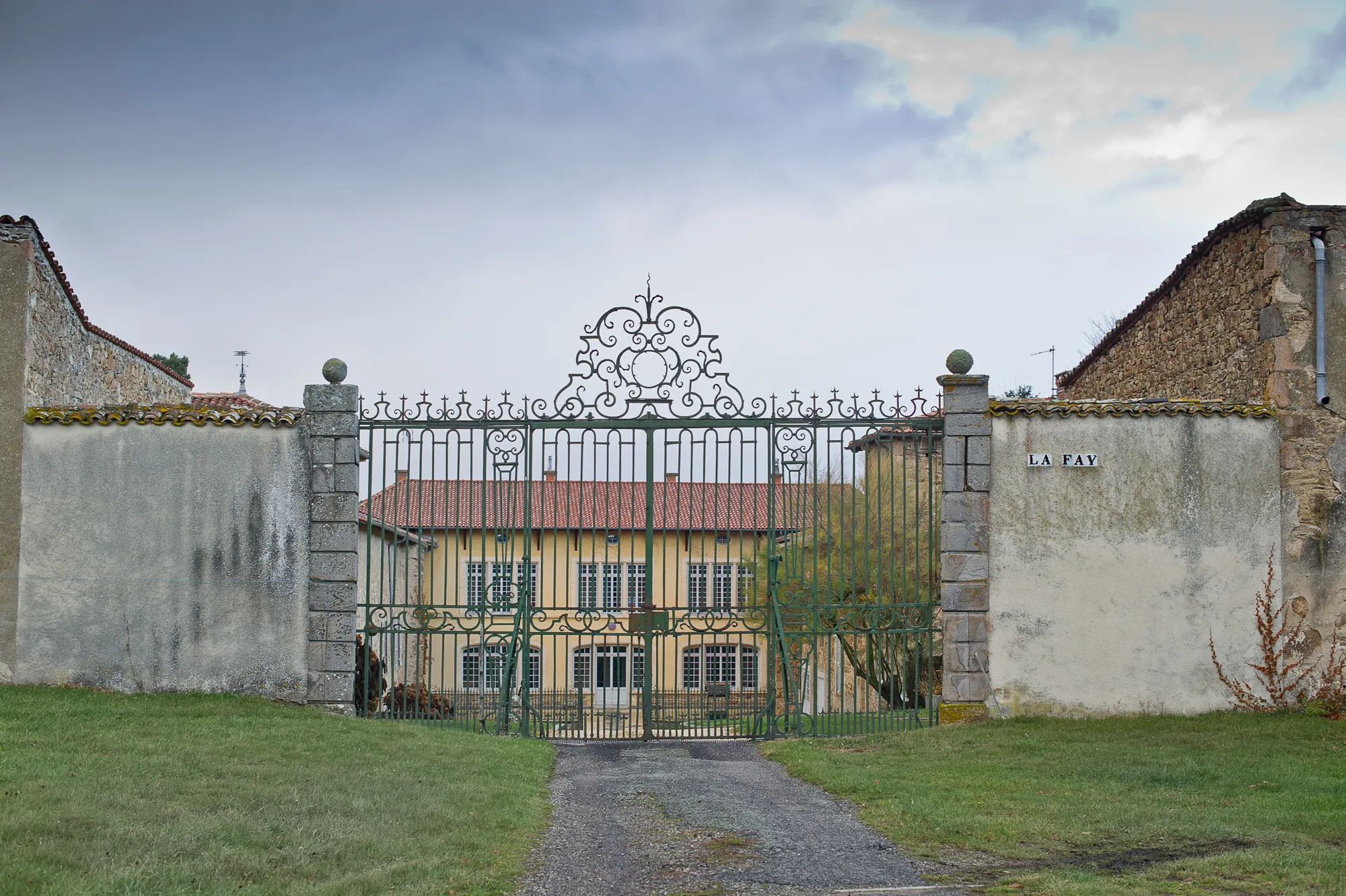
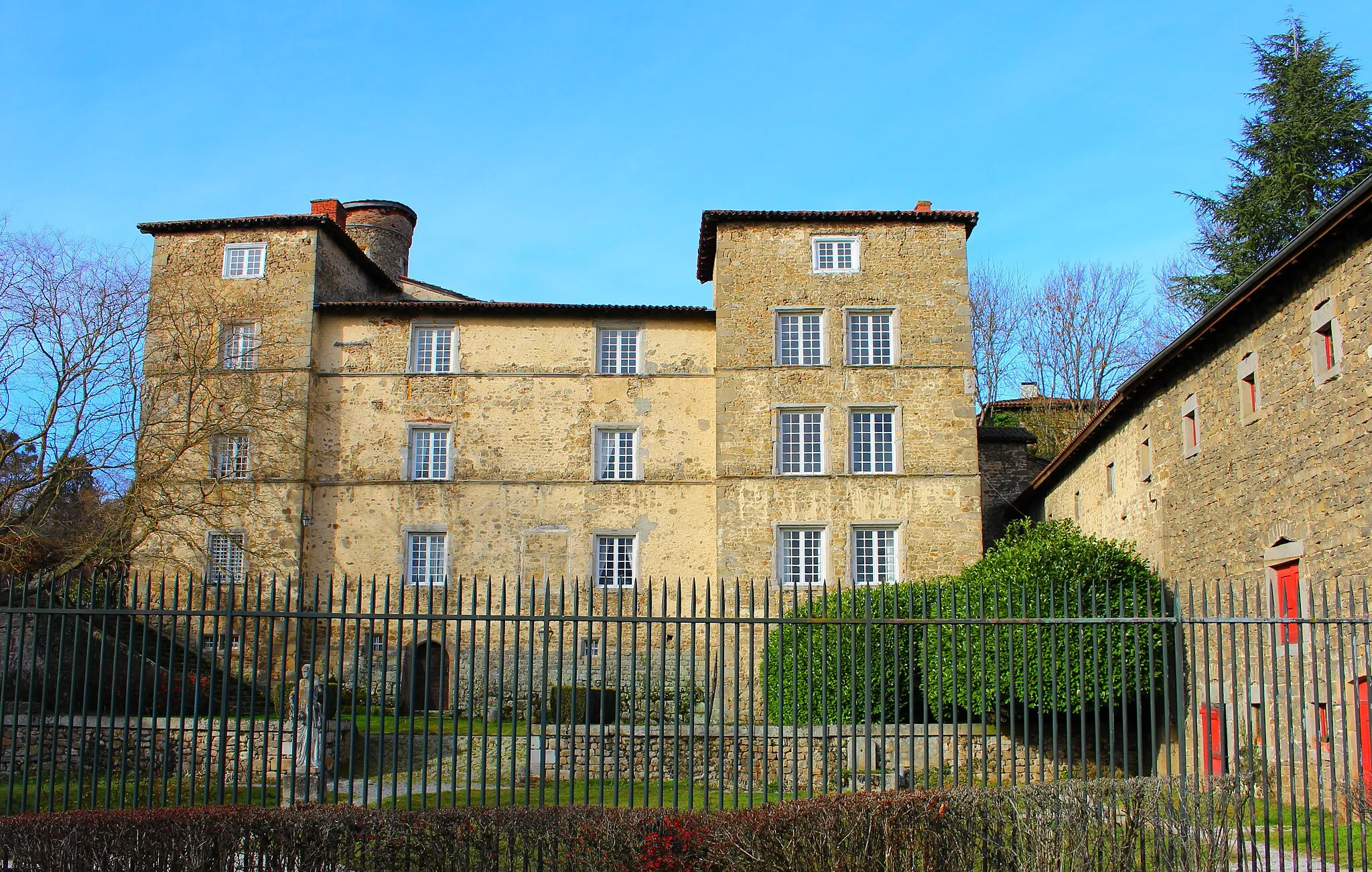
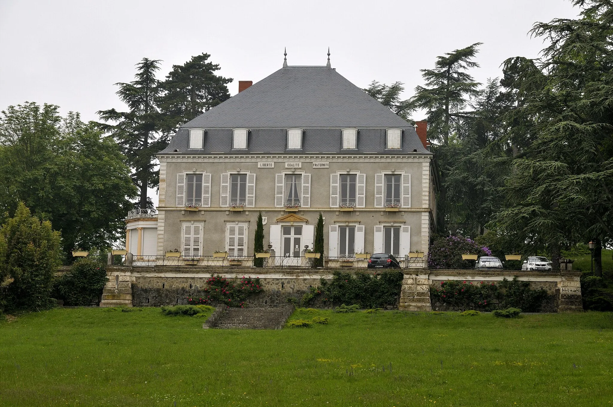
Départ : Saint-Symphorien-sur-Coise Village centerSaint-Symphorien-sur-Coise: Défis épiques et panoramas grandioses à Saint-Symphorien-sur-Coise.
Saint-Symphorien-sur-Coise en Rhône-Alpes est un paradis pour les cyclistes, avec des routes de montagne époustouflantes et des paysages à couper le souffle. Les cyclistes peuvent s'attaquer à des colosses du Tour de France à proximité, offrant des défis uniques et des vues incroyables. Les amateurs de montées légendaires seront comblés par les possibilités offertes par la région.5 km
5 km
LarajasseVillageEmbark on a thrilling ride through Larajasse and experience the rugged beauty of the landscape.
13 km
13 km
Petit Châtelard831 mSommetTackle the challenging terrain of Petit Châtelard and enjoy the adrenaline rush of gravel cycling.
28 km
28 km
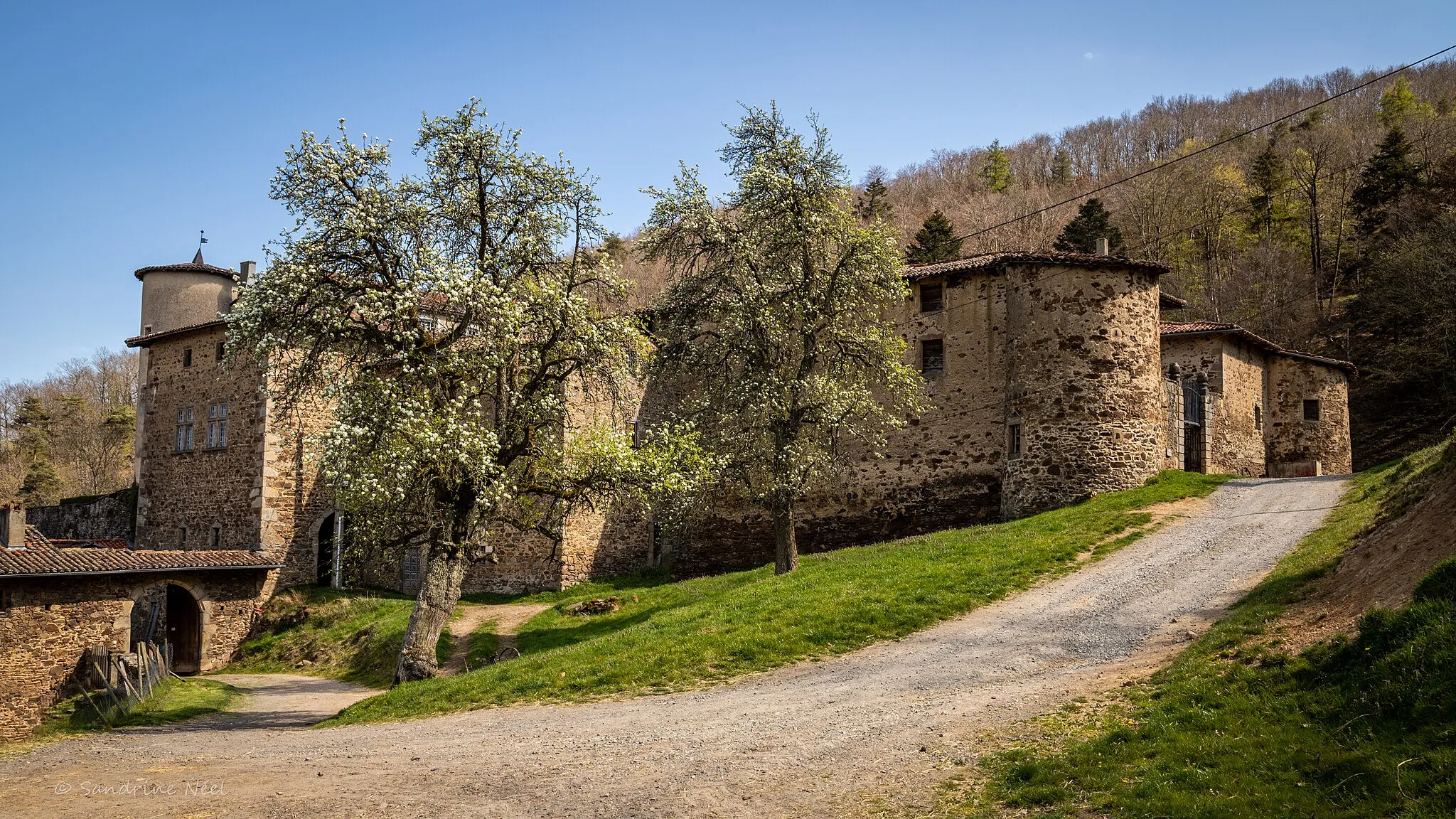
La Grand-CroixVillageExplore the wilderness of La Grand-Croix and test your skills on the rugged trails.
33 km
33 km
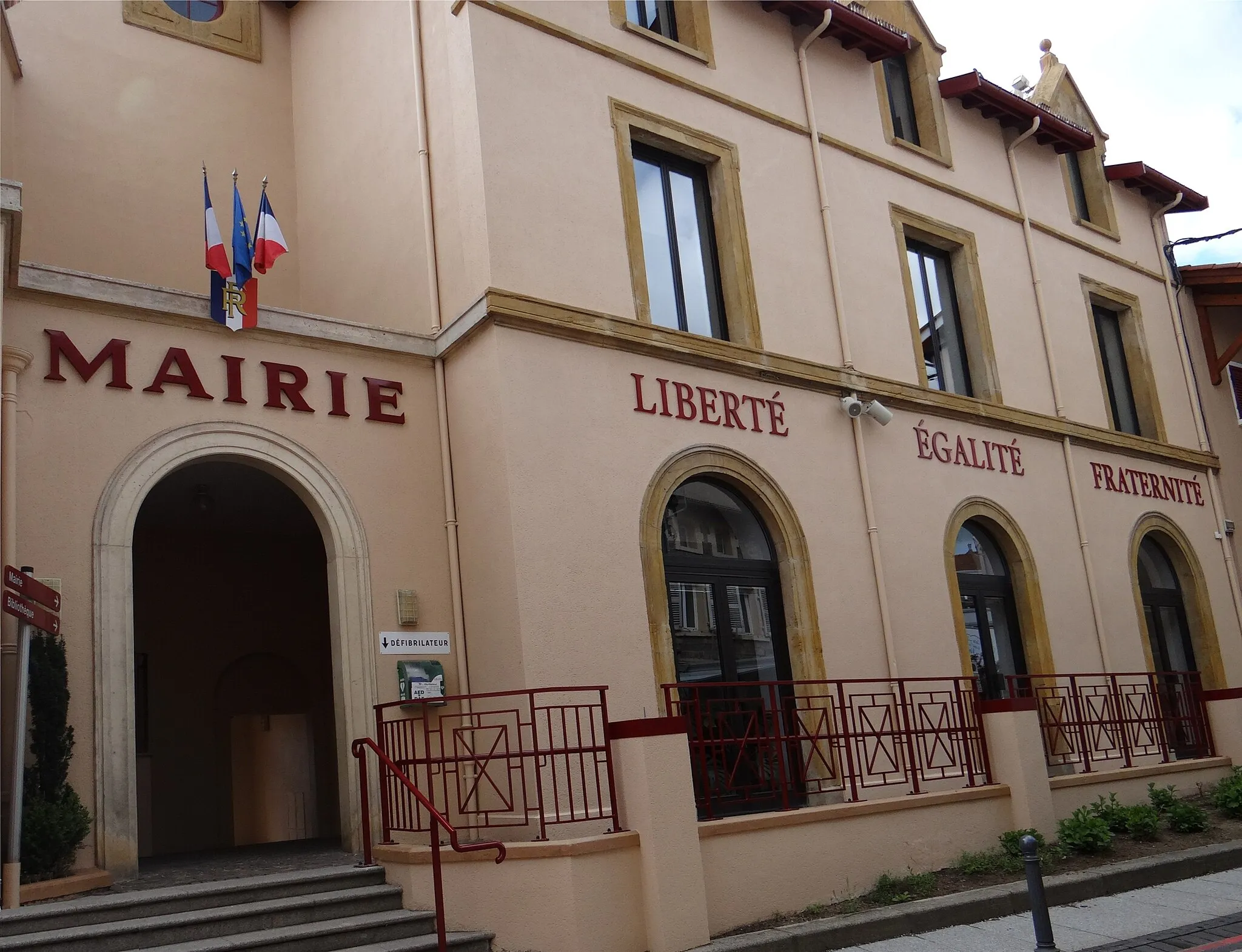
Saint-ChamondVilleDiscover the hidden treasures of Saint-Chamond and immerse yourself in the natural beauty of the region.
41 km
41 km
Crêt Saint-Georges817 mSommetReach the summit of Crêt Saint-Georges and take in the panoramic views of the surrounding countryside.
47 km
47 km
MarcenodVillageDiscover the beauty of Marcenod and its pristine natural surroundings.
54 km
54 km
CoiseVillageEnjoy a thrilling ride through Coise and experience the rugged charm of the region.
57 km
57 km
Arrivée : Saint-Symphorien-sur-Coise Village centerSaint-Symphorien-sur-Coise: Défis épiques et panoramas grandioses à Saint-Symphorien-sur-Coise.
Itinéraires à vélo depuis Saint-Symphorien-sur-Coise :
Itinéraires cyclables à proximité: