L'ascension de Monte Mado
Un itinéraire de cyclisme road partant de San Vito di Leguzzano
Une montée exigeante vers des panoramas époustouflants
Carte
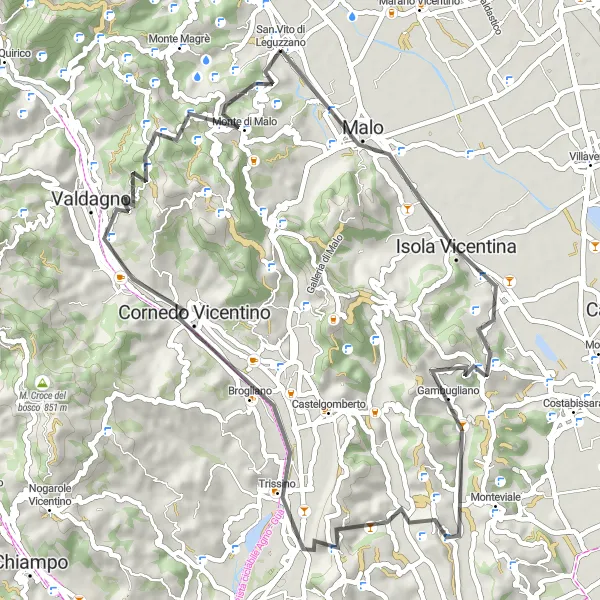
Ce parcours de 57 km vous mène à travers les collines de Vicence jusqu'au sommet de Monte Mado avec un dénivelé de 1227 mètres. Profitez des vues incroyables sur le paysage environnant et découvrez les charmants villages de Malo, Gambugliano et Valdagno.
road
57 km
1227 m
Sauvage
Profil de l'itinéraire
Points forts sur l'itinéraire
0 km
0 km
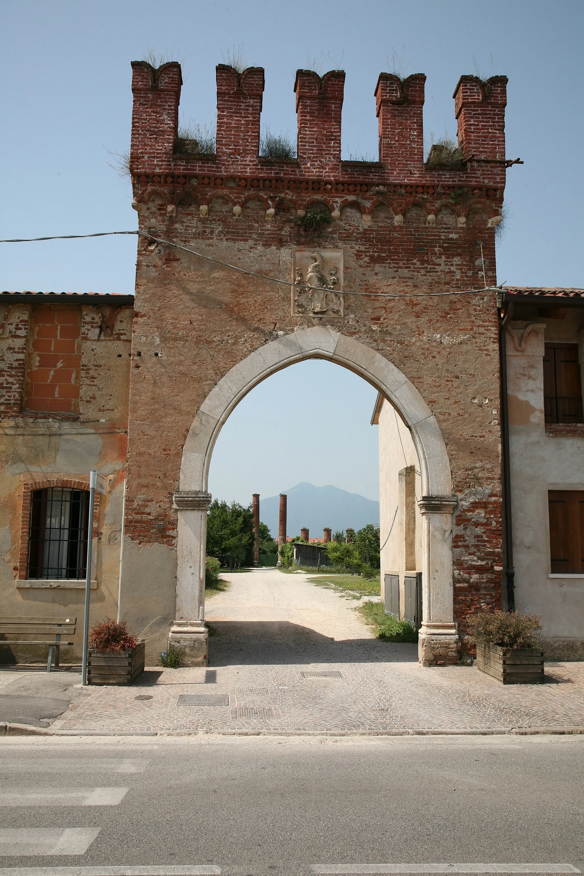
Départ : San Vito di Leguzzano Village centerSan Vito di Leguzzano: Haven for cyclists with challenging routes and proximity to Passo Pordoi climb.
San Vito di Leguzzano, situated in the Veneto region of Italy, is a haven for cyclists seeking challenging routes and breathtaking views. The area offers a mix of steep climbs and rolling hills, catering to road cyclists looking for a tough workout. San Vito di Leguzzano is near the iconic Passo Pordoi climb, a famous route in the Giro d'Italia known for its demanding gradients and scenic vistas. Cyclists visiting this town can test their skills on challenging ascents while enjoying the natural beauty of the surrounding countryside.2 km
2 km
Montecio176 mSommetMontecio et son atmosphère paisible
3 km
3 km
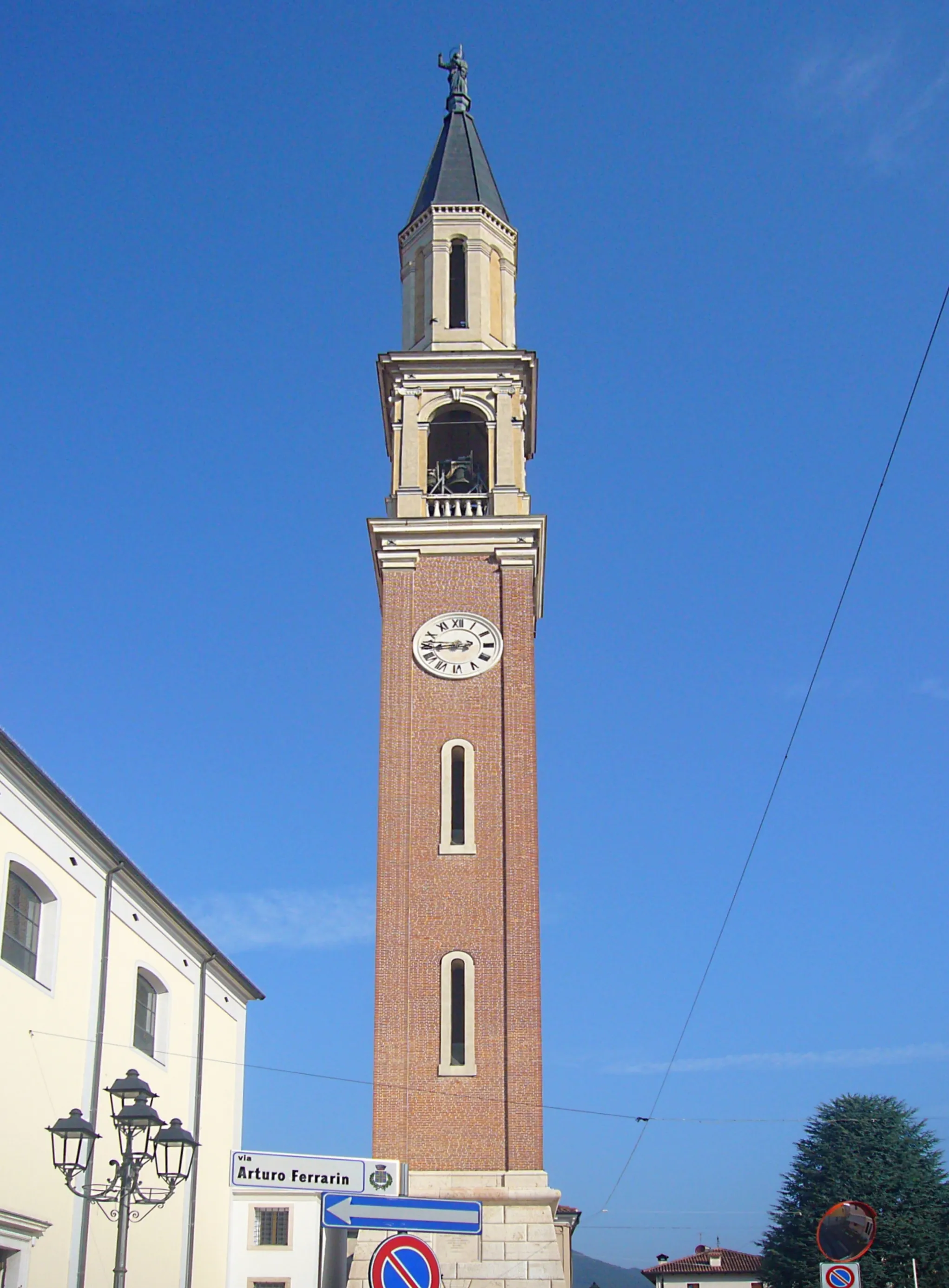
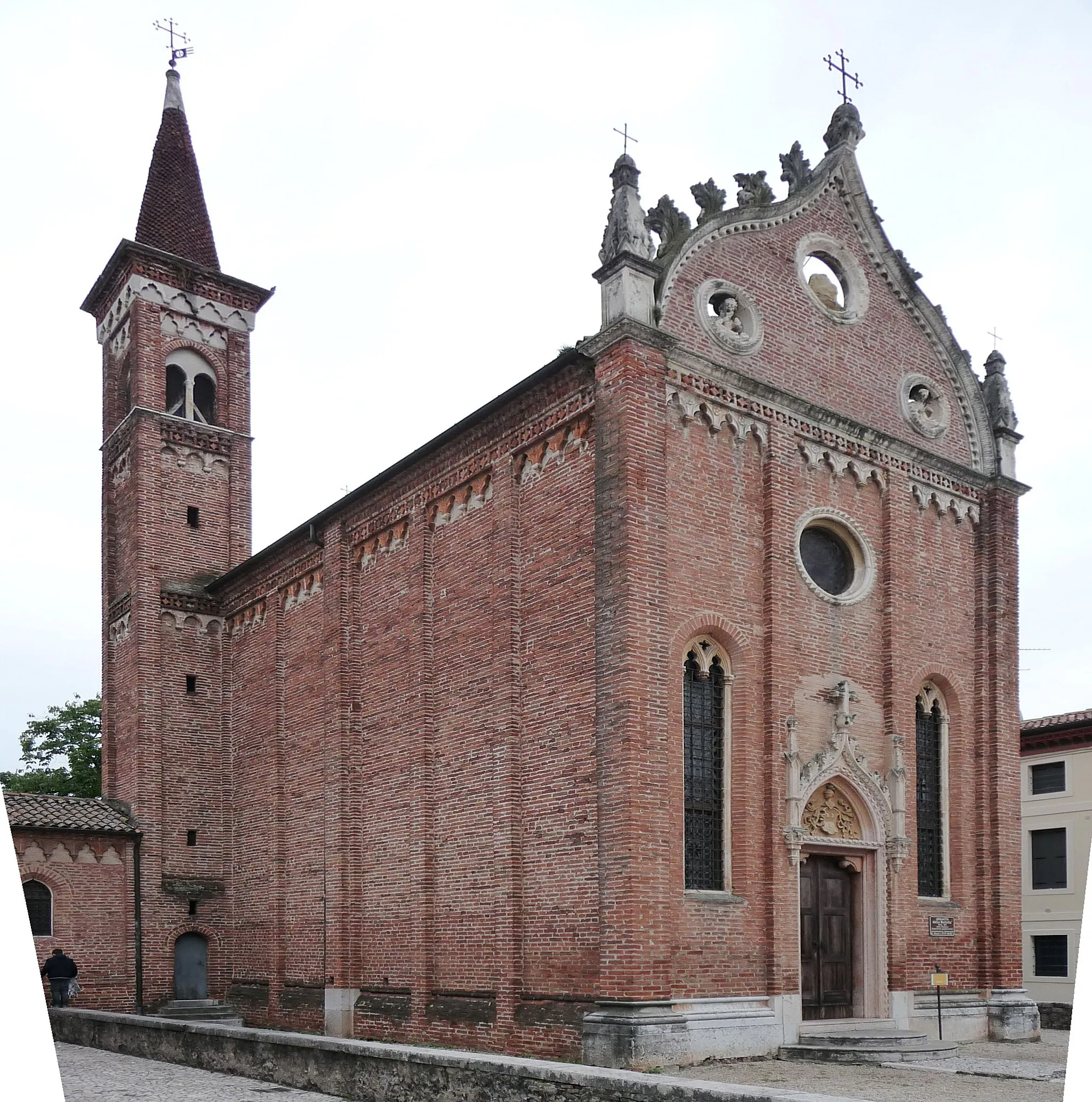
MaloVilleMalo et son riche patrimoine architectural
17 km
17 km
GambuglianoVillageGambugliano et ses ruelles pittoresques
36 km
36 km
Monte Bregonza362 mSommetMonte Bregonza et ses sentiers de randonnée
37 km
37 km
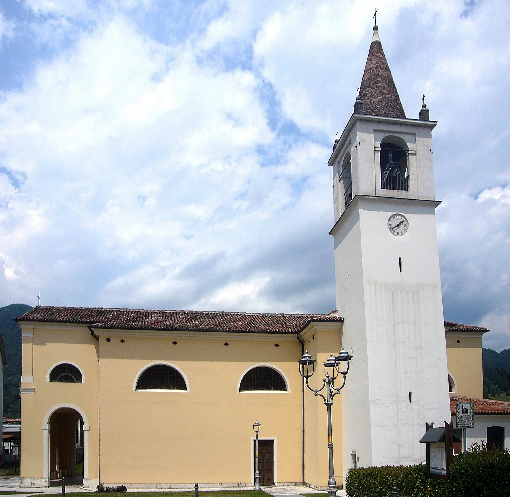
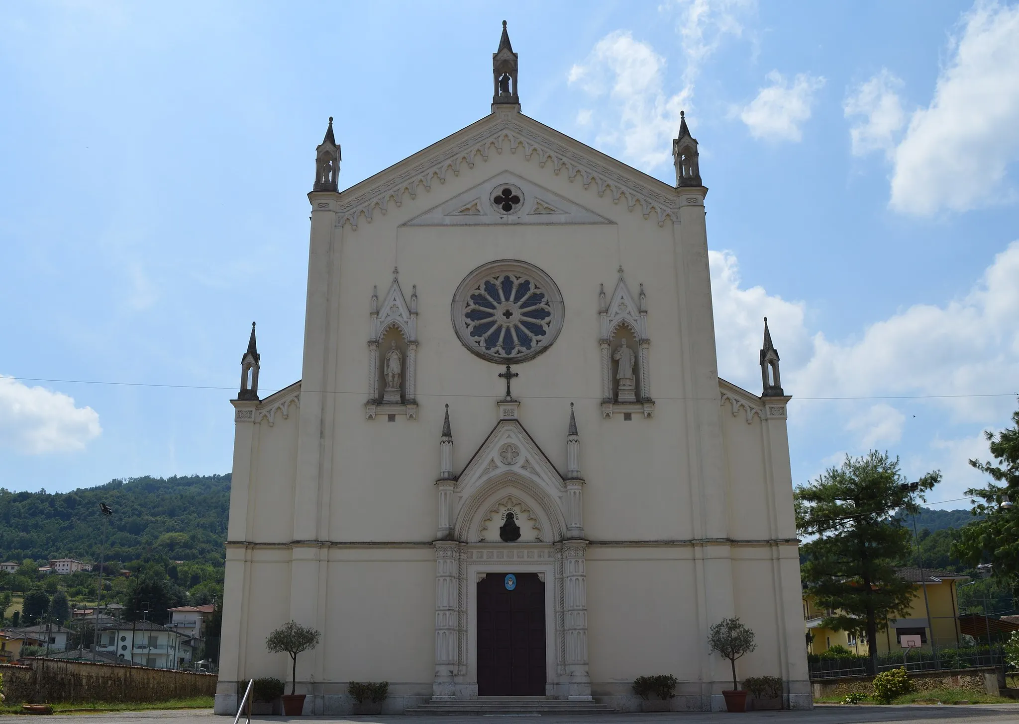
Cornedo VicentinoVilleCornedo Vicentino et ses magnifiques paysages
43 km
43 km
ValdagnoVilleValdagno et son ambiance animée
47 km
47 km
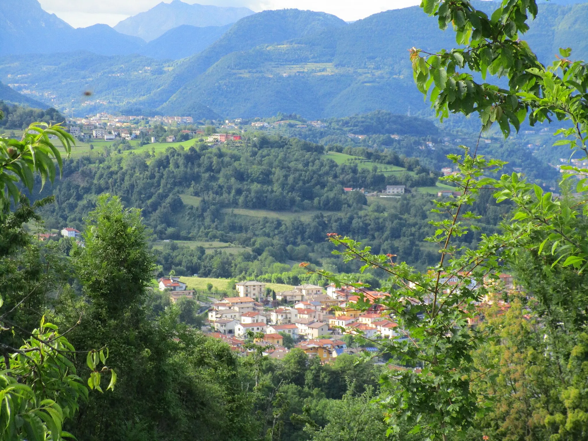
Monte Mado661 mSommetMonte Mado et ses vues panoramiques
52 km
52 km
Monte di MaloVillageMonte di Malo et sa tranquillité
57 km
57 km
Arrivée : San Vito di Leguzzano Village centerSan Vito di Leguzzano: Haven for cyclists with challenging routes and proximity to Passo Pordoi climb.
Itinéraires à vélo depuis San Vito di Leguzzano :
Boucle de Zanè à San Vito di Leguzzano L'ascension de Monte Mado Aventure gravel à travers les montagnes de Vicence Monte Magrè et Valli del Pasubio Exploration des environs de Vicenza Exploration de la Montagnola et Monte Croce Exploration de Zanè et Isola Vicentina Montecio et Valdagno Aventure à travers les collines de Vicence Escapade à Recoaro Terme et Torrebelvicino Tour de San Vito di Leguzzano
Itinéraires cyclables à proximité: