Hauteville Challenge
Un itinéraire de cyclisme road partant de Sankt Antoni
Take on the challenge of the Hauteville route with 83km of road cycling and 1671m of ascent.
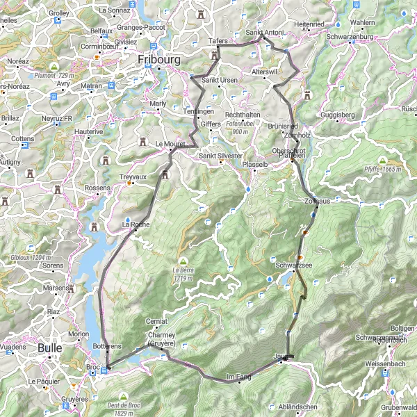
Carte
Embrace the challenge of the Hauteville route, covering 83km of scenic roads with a total ascent of 1671m. Explore the beauty of Chutz, Jaun, and Lac de la Gruyère, with stunning views and rewarding climbs along the way.
road
83 km
1671 m
Sauvage
Profil de l'itinéraire
Points forts sur l'itinéraire
0 km
0 km
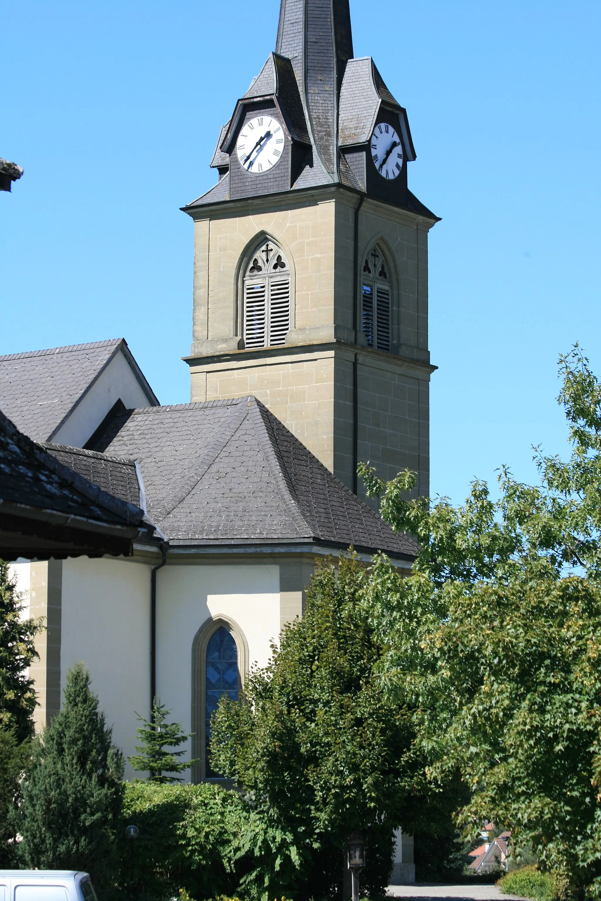
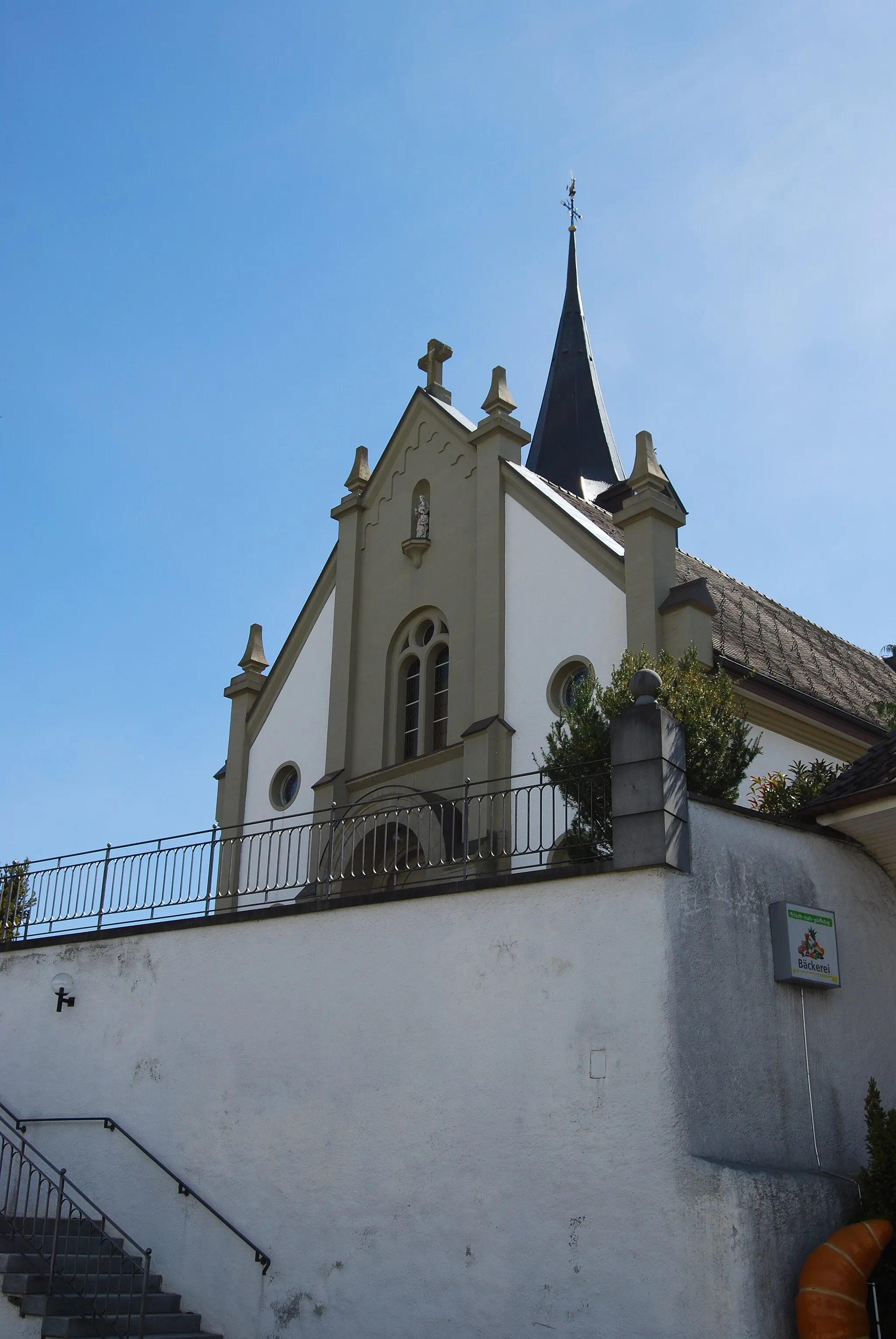
Départ : Sankt Antoni Village centerSankt Antoni: Destination cycliste pittoresque en Espace Mittelland
Sankt Antoni est un petit village pittoresque situé dans l'Espace Mittelland en Suisse. Les routes de la région offrent de superbes paysages pour les cyclistes, avec des collines douces et des champs verdoyants. Les cyclistes peuvent profiter de balades tranquilles à travers la campagne ou relever des défis plus stimulants en grimpant les routes sinueuses. À proximité, on trouve des circuits bien connus tels que le Col du Pillon et le Col d'Encrenaz.2 km
2 km
ChutzPoint de vueDécouvrez Chutz sur le parcours.
10 km
10 km
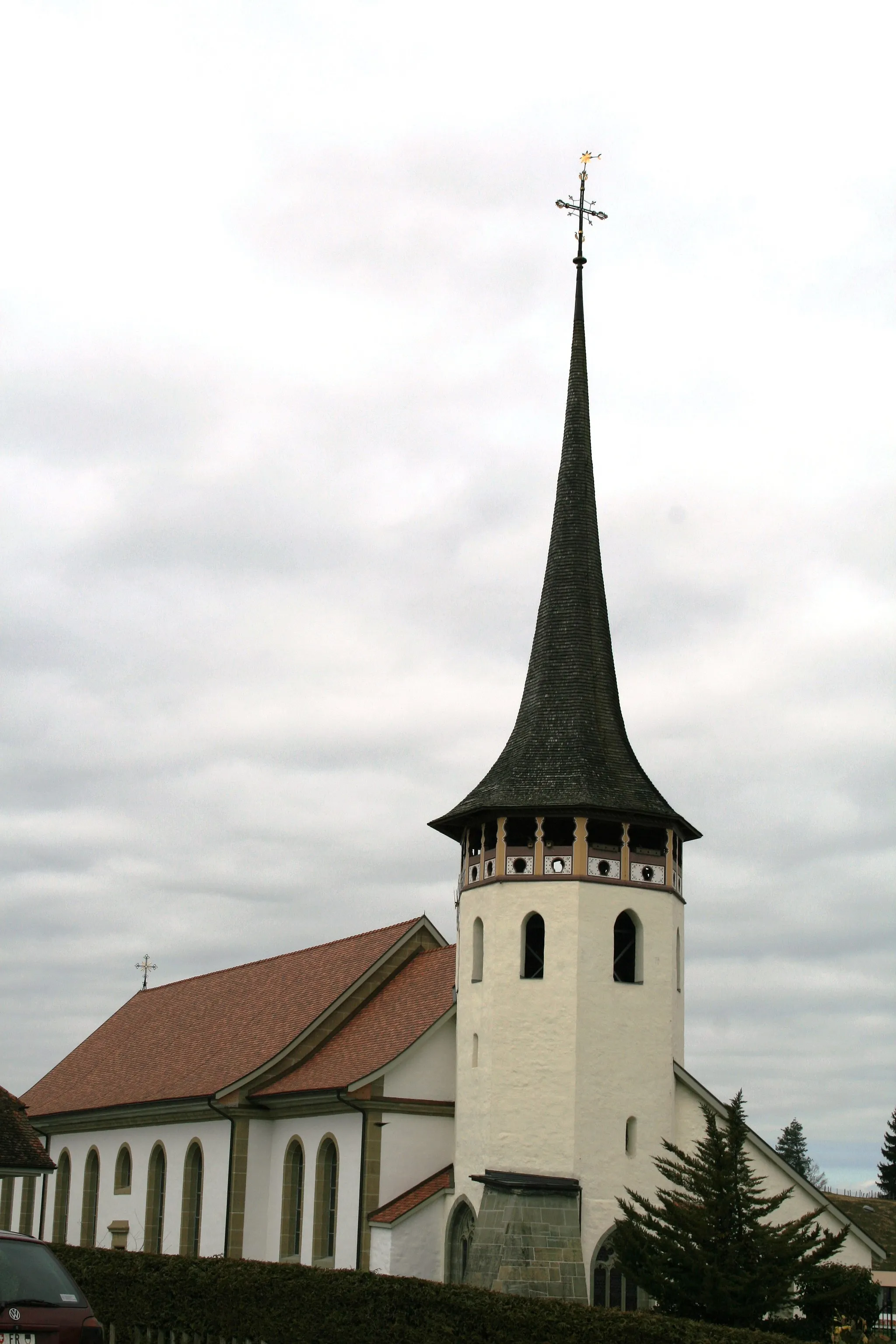
BrünisriedVillageAdmirez Brünisried lors de votre trajet.
28 km
28 km
Chällihorn1970 mSommetExplorez le sommet de Chällihorn.
33 km
33 km
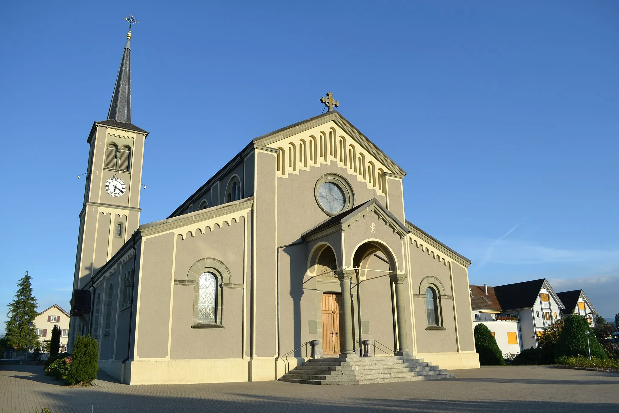
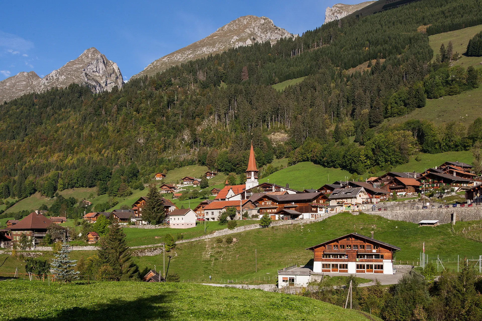
JaunVillageProfitez de Jaun sur le parcours.
55 km
55 km
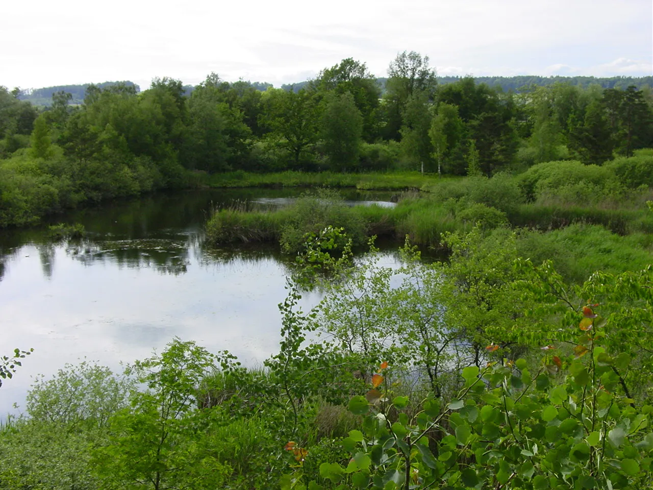
Lac de la GruyèreLacDécouvrez le Lac de la Gruyère.
56 km
56 km
HautevilleVillageExplorez Hauteville lors de votre trajet.
66 km
66 km
Le MouretVillageDécouvrez Le Mouret sur le parcours.
79 km
79 km
TafersVillageProfitez de Tafers sur le trajet.
83 km
83 km
Arrivée : Sankt Antoni Village centerSankt Antoni: Destination cycliste pittoresque en Espace Mittelland
Itinéraires cyclables à proximité: