Tour de Wasserflue
Un itinéraire de cyclisme gravel partant de Brittnau
Chance to conquer the waters of Olten to Safenwil
Carte
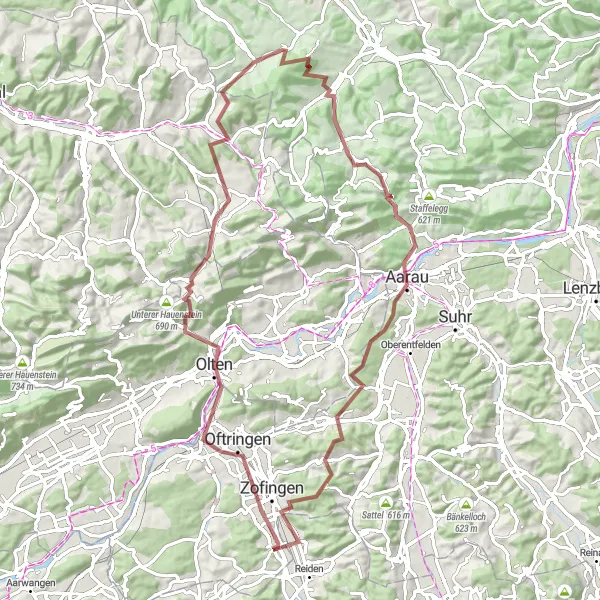
Discover the challenging gravel route with a total ascent of 1866m and 82km distance, passing through scenic spots like Rothenfluh and Wegenstetten. Enthusiasts will love the varied terrain and the thrill of reaching the summit of Wasserflue.
gravel
82 km
1866 m
Difficile
Profil de l'itinéraire
Points forts sur l'itinéraire
0 km
0 km
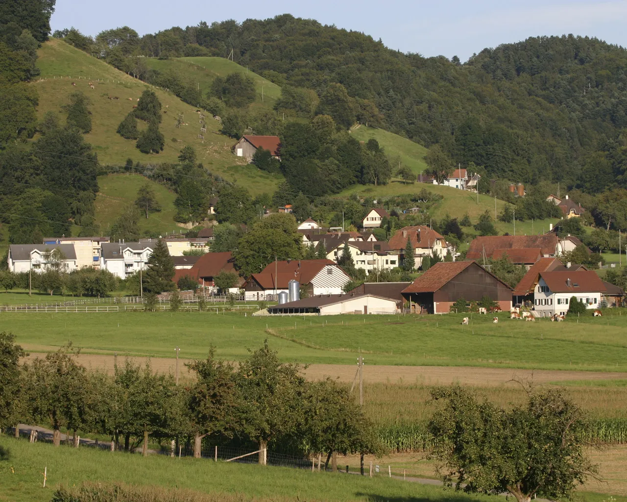
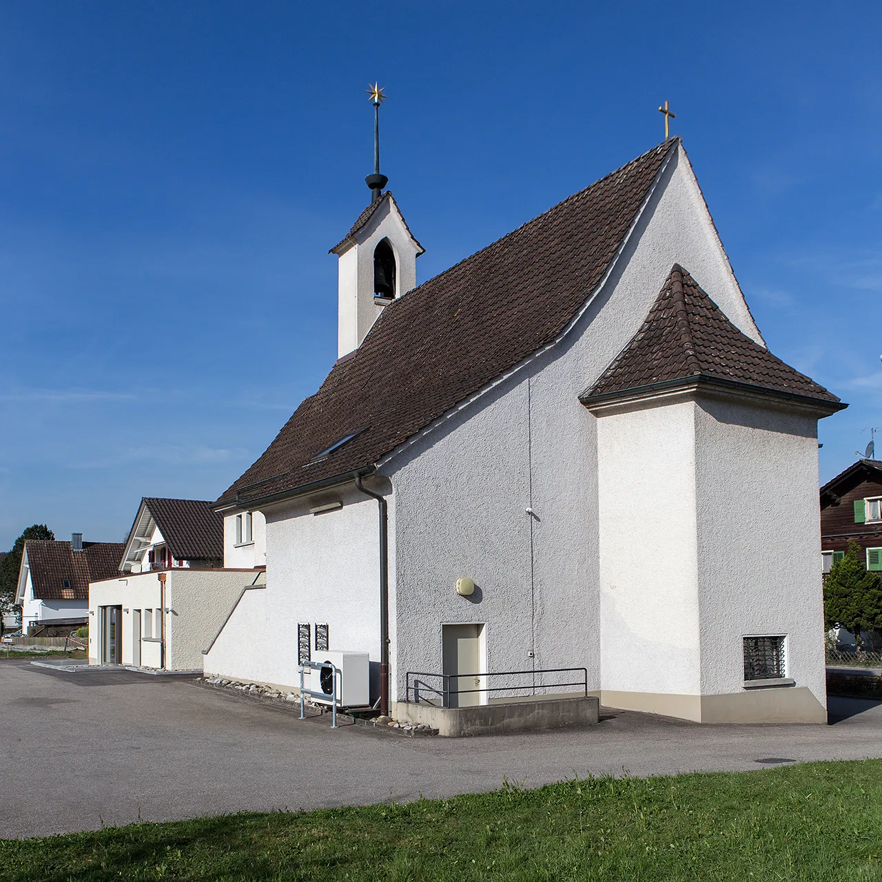
Départ : Brittnau Village centerBrittnau: Tranquillité et paysages agréables pour les cyclistes.
Brittnau, située dans la région de Nordwestschweiz en Suisse, est une localité tranquille offrant aux cyclistes des routes calmes et des paysages agréables à parcourir. Les cyclistes y trouveront des possibilités de gravel intéressantes et la proximité de célèbres ascensions.13 km
13 km
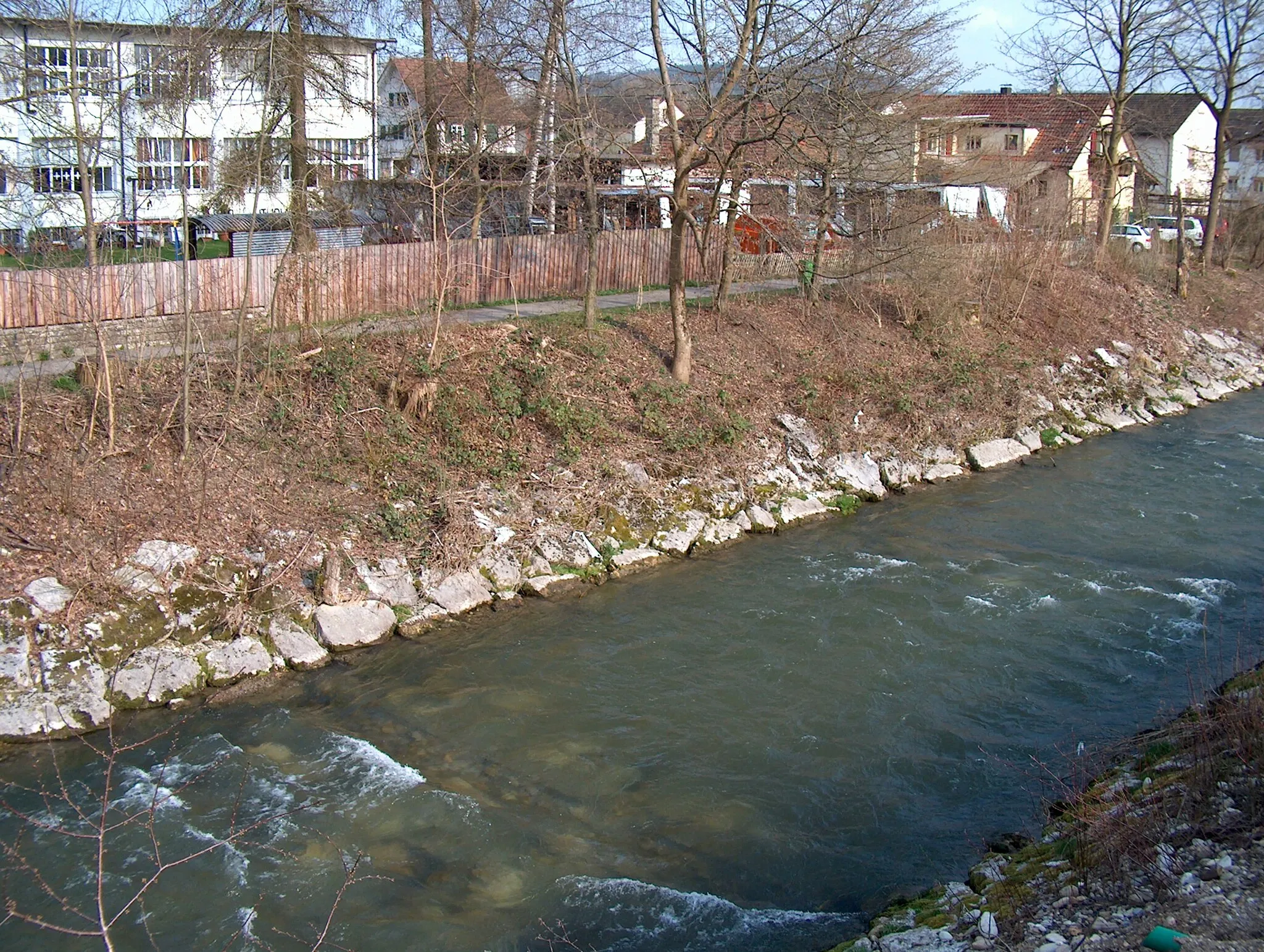
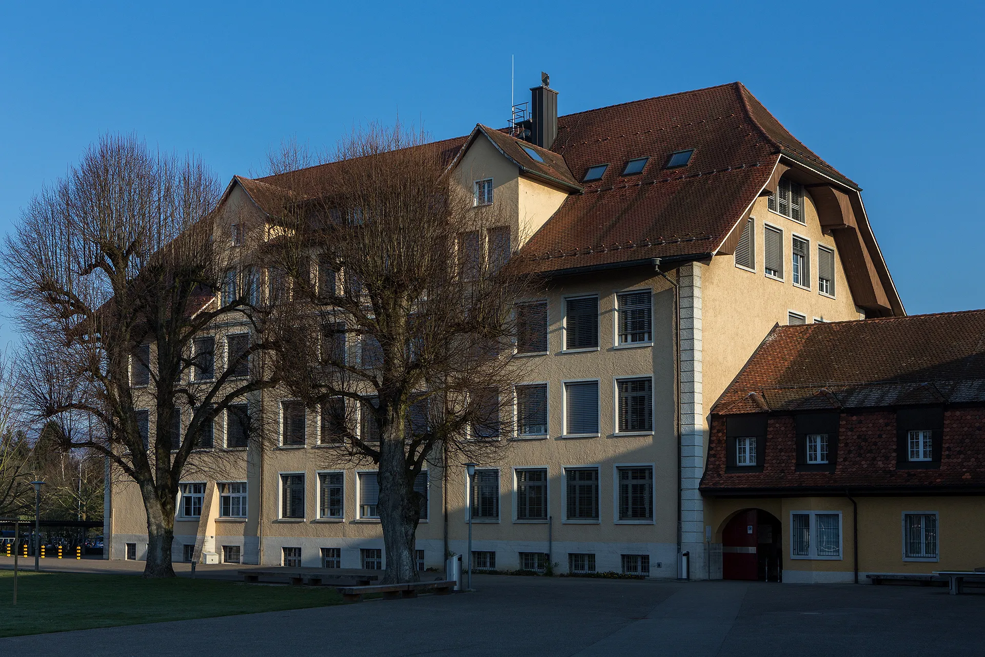
OltenVilleEnjoy the picturesque view of Olten on your way.
30 km
30 km
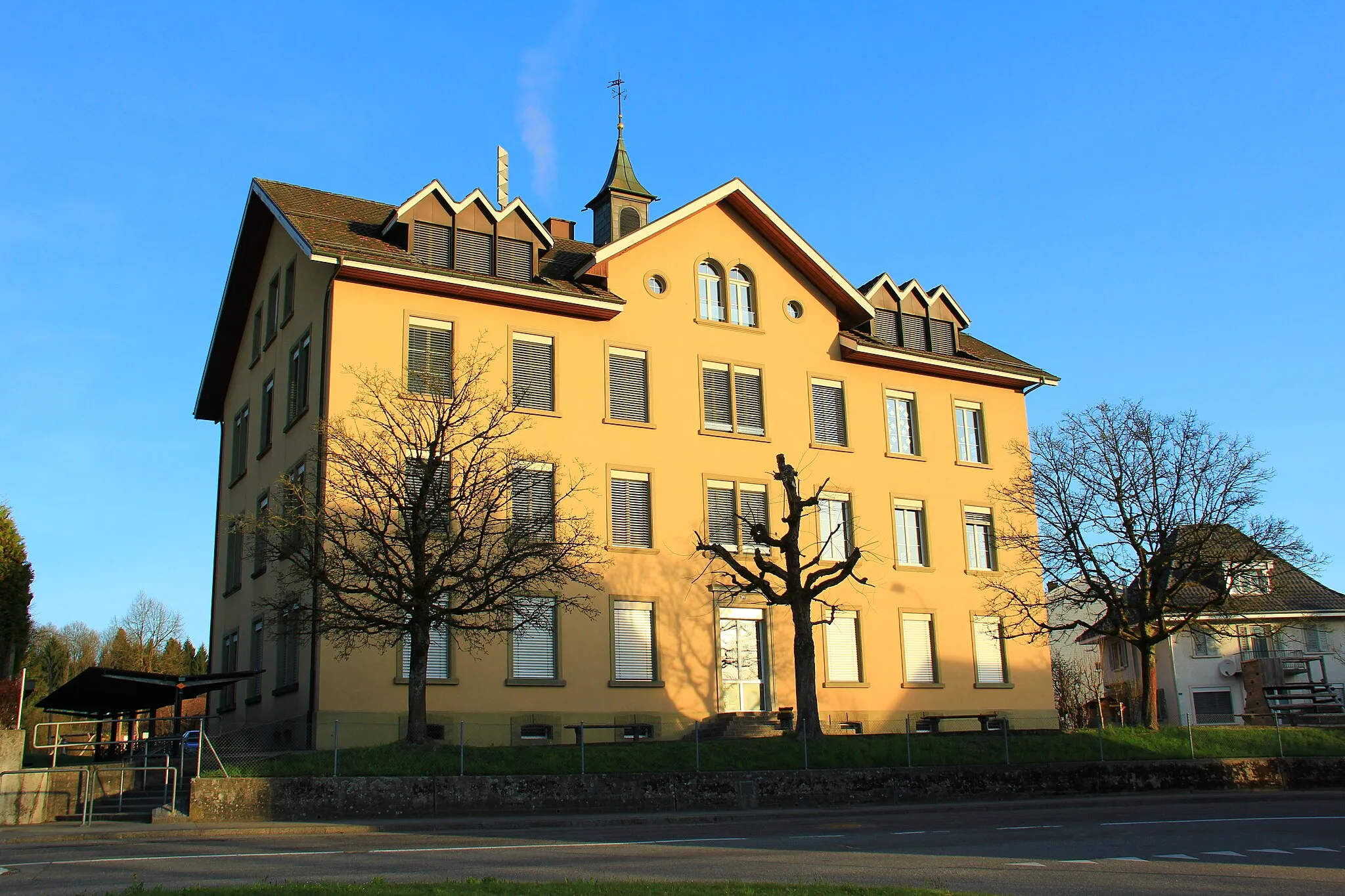
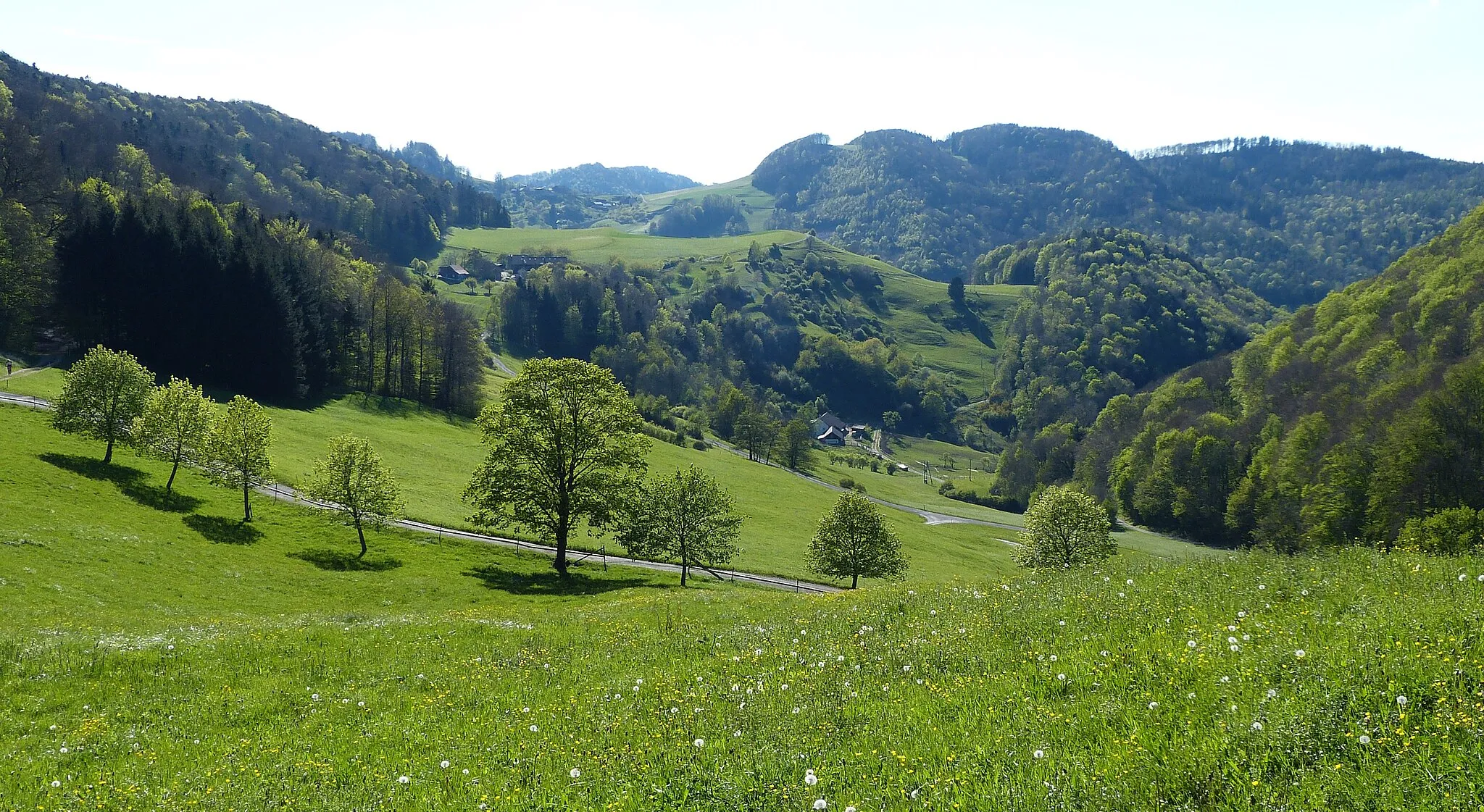
RothenfluhVillageRothenfluh offers a breath-taking panorama of the surrounding landscapes.
37 km
37 km
WegenstettenVillageDelight in the quaint charm of Wegenstetten village along the route.
55 km
55 km
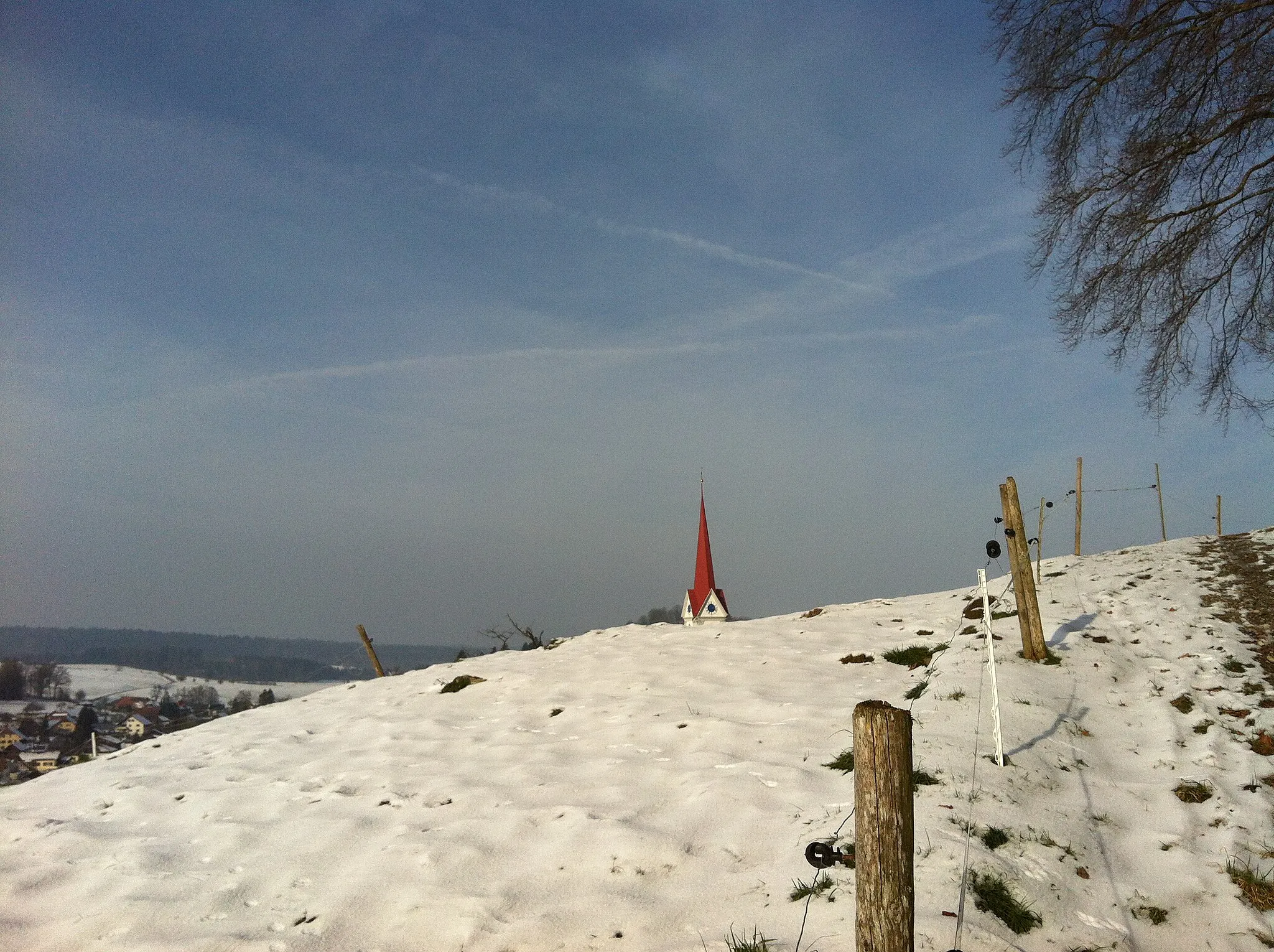
Wasserflue844 mSommetTraverse the challenging terrain and be rewarded with stunning mountain views.
71 km
71 km
SafenwilVillageSafenwil is a peaceful stopover for a well-deserved break.
72 km
72 km
Fuchshubel590 mSommetFuchshubel provides a serene setting for cycling enthusiasts.
83 km
83 km
BrittnauVillageDiscover the historical charm of Brittnau as you complete your journey.
82 km
82 km
Arrivée : Brittnau Village centerBrittnau: Tranquillité et paysages agréables pour les cyclistes.
Itinéraires à vélo depuis Brittnau :
Itinéraires cyclables à proximité: