Exploration de la Campagne Lucernoise
Un itinéraire de cyclisme gravel partant de Oberkirch
Embark on a gravel adventure through the Lucerne countryside.
Carte

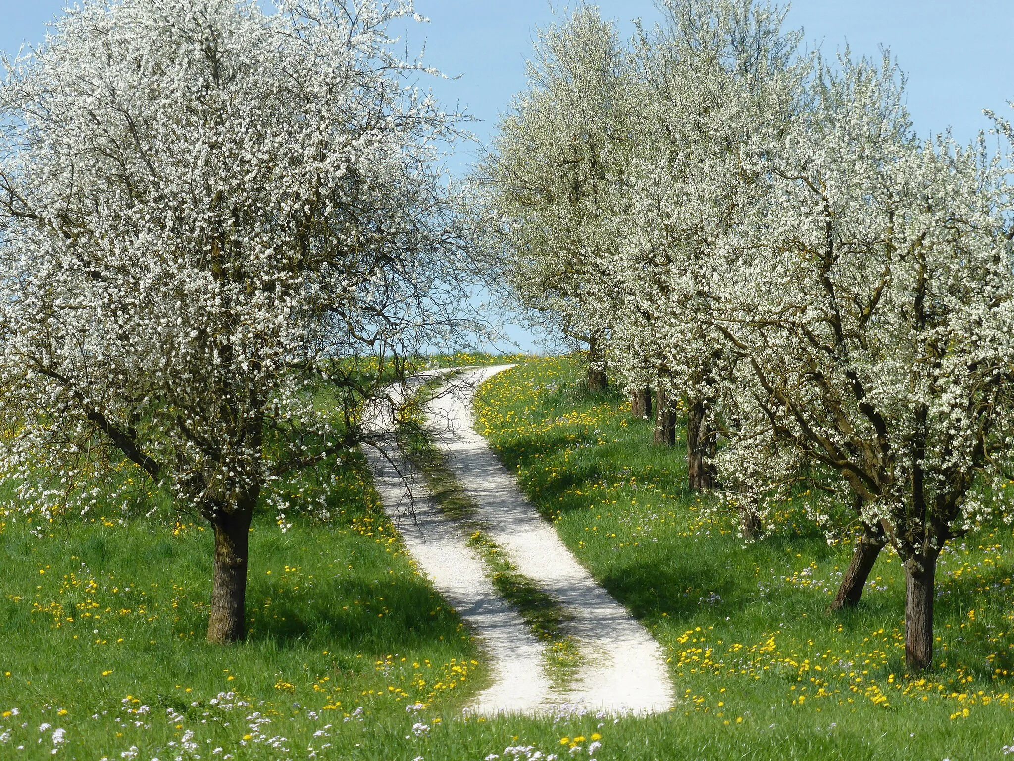
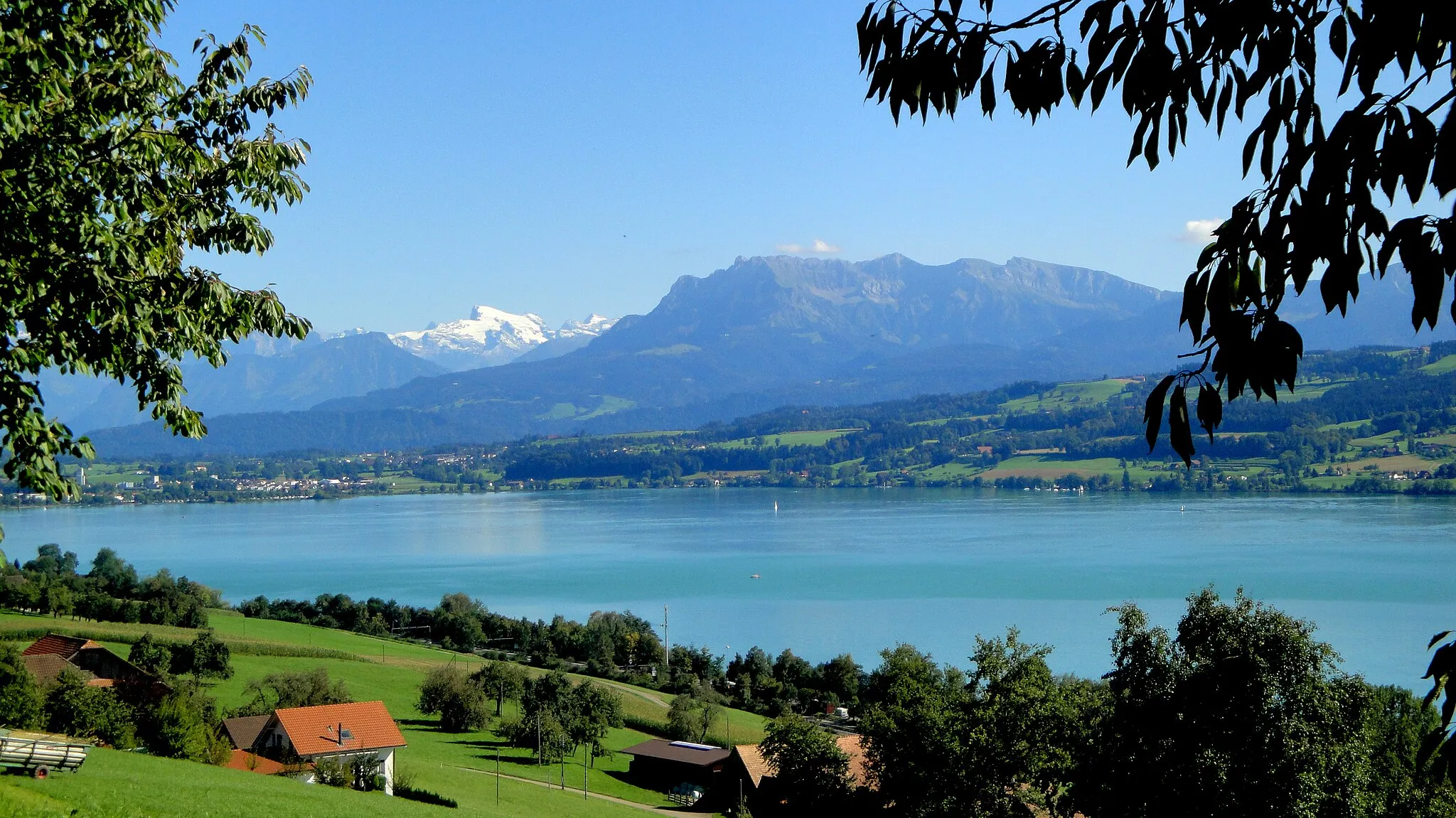
Discover the beauty of Sursee, Knutwil, Wiliberg, Fuchshubel, Hirschthal, Bööler Passhöchi, and Geuensee on this 58km route with a total ascent of 1249m. Enjoy the peaceful surroundings and charming villages along the way.
gravel
58 km
1249 m
Difficile
Profil de l'itinéraire
Points forts sur l'itinéraire
0 km
0 km
Départ : Oberkirch Village centerOberkirch: Défis cyclistes et paysages époustouflants
Oberkirch, une charmante localité de Zentralschweiz en Suisse, est un lieu de séjour idéal pour les cyclistes passionnés. Les routes de montagne offrent des défis variés pour tous les niveaux, avec des panoramas à couper le souffle. Oberkirch est également située à proximité du célèbre col du Gothard, l'un des cols les plus emblématiques des Alpes suisses.2 km
2 km
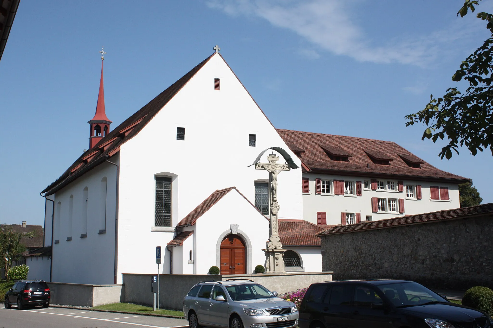
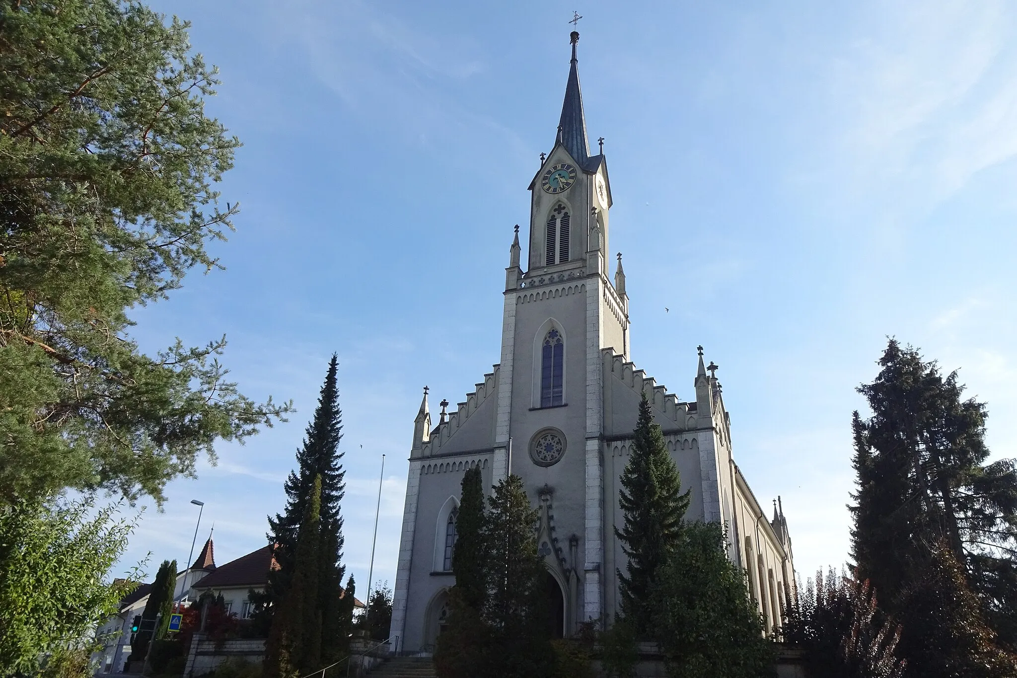
SurseeVilleExplore the historical town of Sursee with its medieval architecture.
7 km
7 km
KnutwilVillageExperience the rustic charm of Knutwil.
19 km
19 km
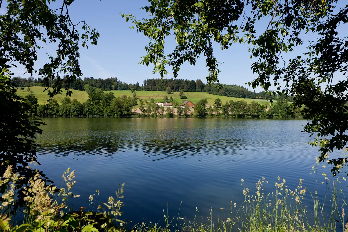
WilibergVillageAdmire the panoramic views from Wiliberg.
27 km
27 km
Fuchshubel590 mSommetDiscover the hidden gem of Fuchshubel.
33 km
33 km
HirschthalVillageCycle through the tranquil village of Hirschthal.
36 km
36 km
Bööler Passhöchi611 mCol de montagneEnjoy the stunning views from Bööler Passhöchi.
53 km
53 km
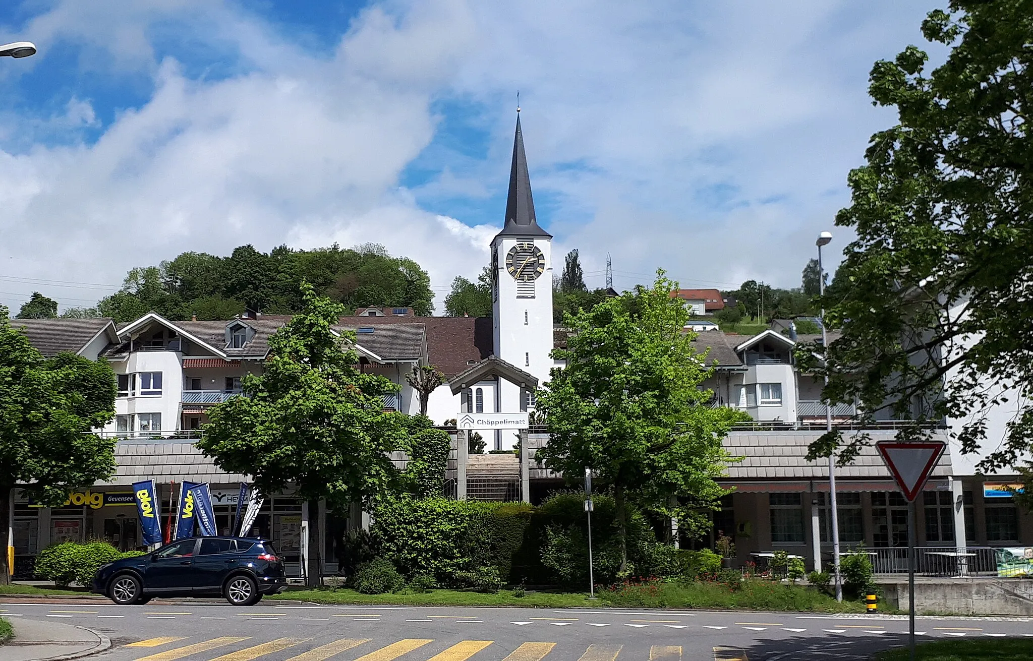
GeuenseeVillageExplore the charming village of Geuensee.
58 km
58 km
Arrivée : Oberkirch Village centerOberkirch: Défis cyclistes et paysages époustouflants
Itinéraires à vélo depuis Oberkirch :
Itinéraires cyclables à proximité: