Il Giro Panoramico del Vorarlberg
Un percorso ciclistico road che parte da Hard
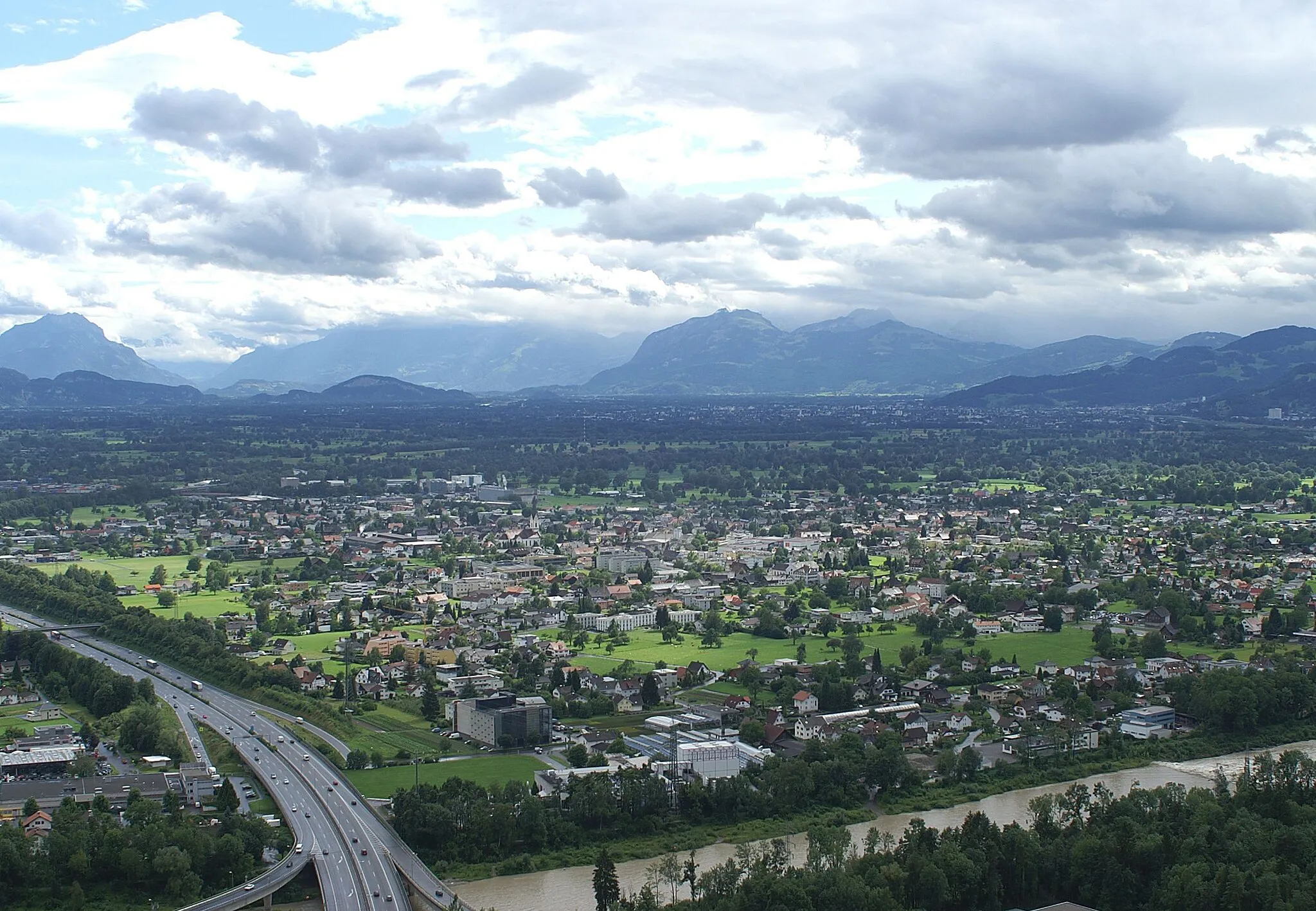
Il tour offre viste mozzafiato sul paesaggio montano austriaco
Mappa
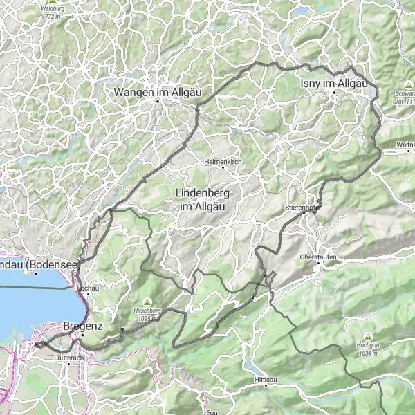
Questo giro in bicicletta di 110 km attraversa luoghi suggestivi come Hohenweiler, Muthen e Klausenmühle. Lungo il percorso si può ammirare la bellezza naturale della Siggener Höhe e del Hasenberg. Il punto più alto, a Doren, offre una vista spettacolare sulla valle circostante. Un'esperienza ciclistica indimenticabile nel cuore di Vorarlberg.
road
110 km
1588 m
Difficile
Profilo del percorso
Punti salienti sulla rotta
0 km
0 km
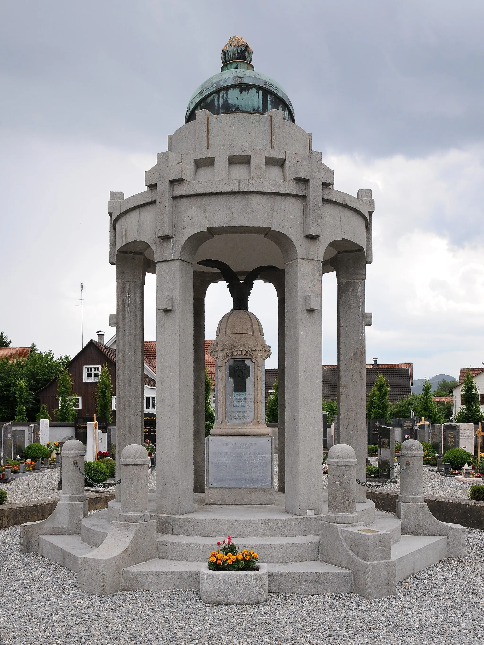
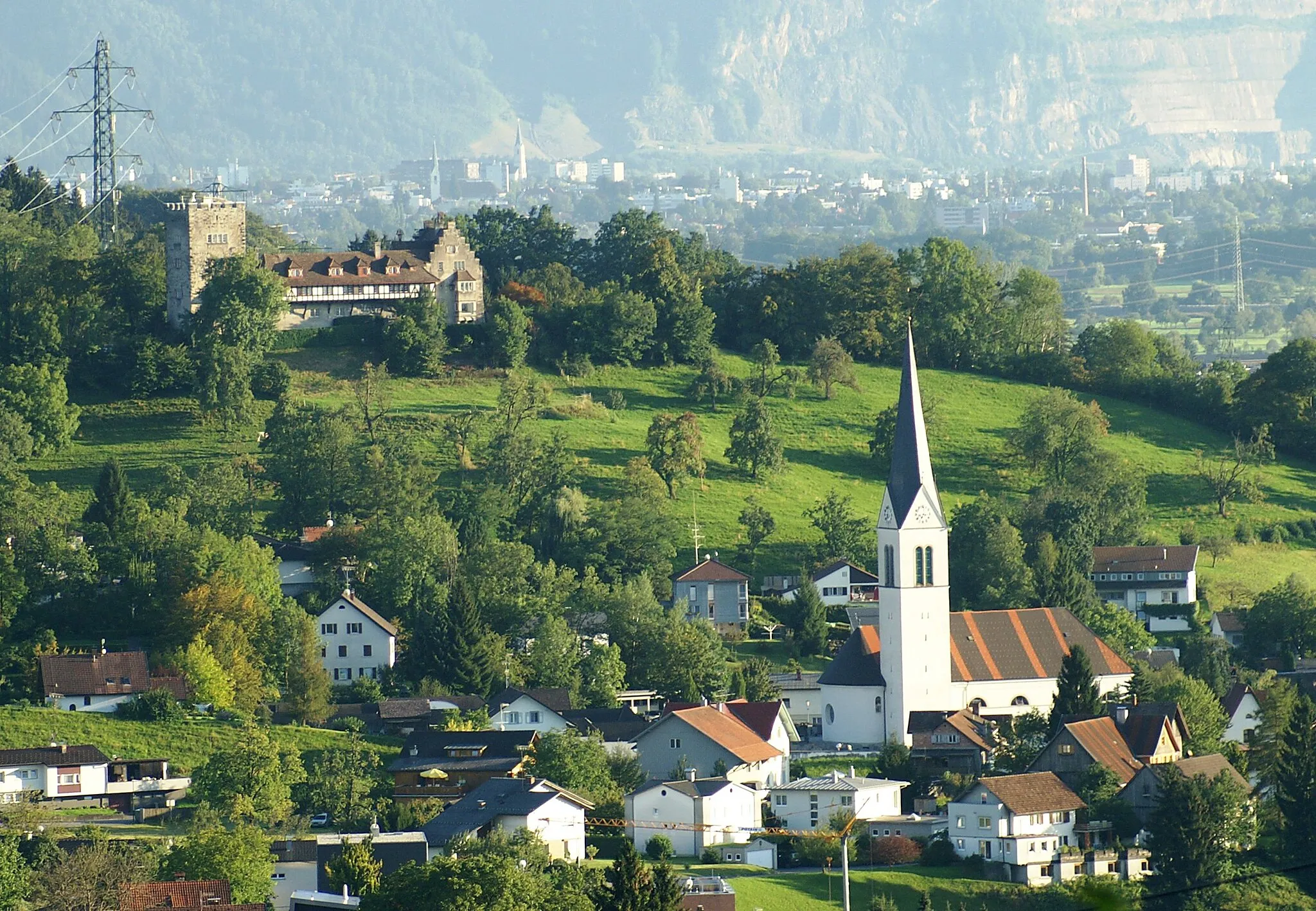
Partenza: Hard Village centerHard: Ciclisti costieri a Hard
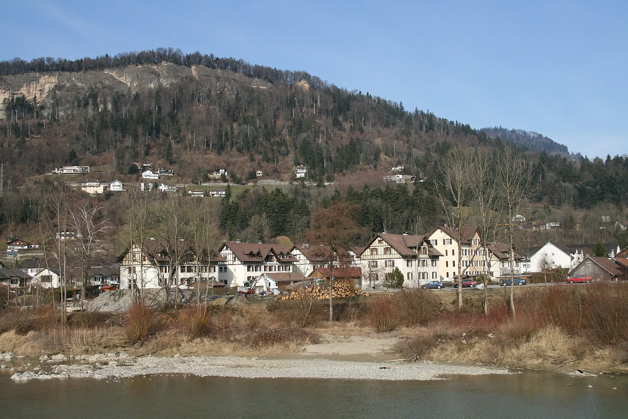
Hard, in Vorarlberg, è una località costiera perfetta per i ciclisti amanti della vista sul mare. Le strade vicine alla costa offrono panorami spettacolari. Nelle vicinanze si trovano alcune salite impegnative e famose.6 km
6 km
AussichtspunktPunto panoramicoVistas on the route offer stunning views of the Austrian mountains.
16 km
16 km
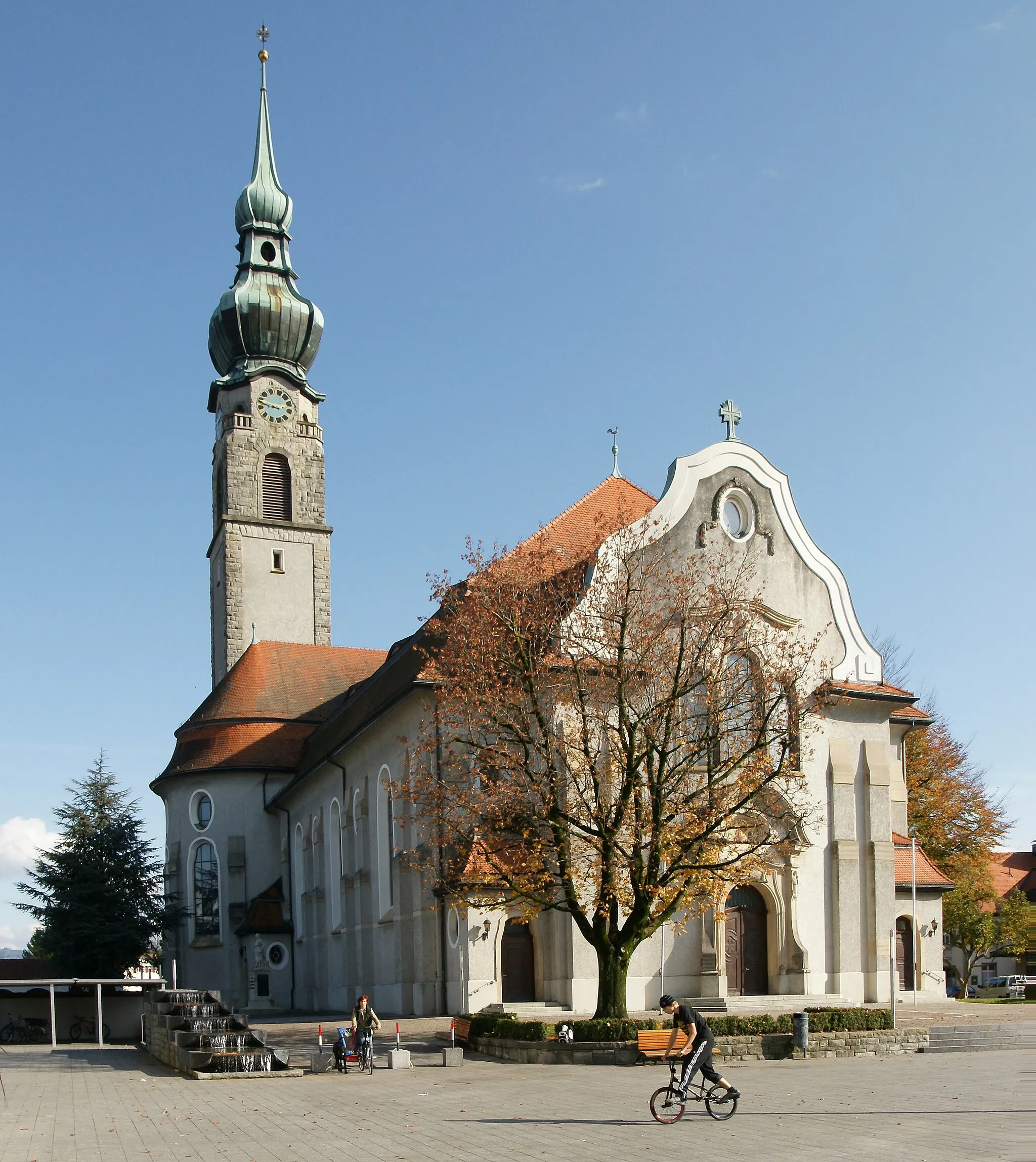
HohenweilerVillaggioHohenweiler is a picturesque village along the way, perfect for a lunch stop.
26 km
26 km
MuthenFrazioneMuthen, with its charming surroundings, is an ideal spot to take a break.
35 km
35 km
Siggener HöhePunto panoramicoThe Siggener Höhe is a natural highlight with breathtaking scenery.
52 km
52 km
Hasenberg821 mPiccoHasenberg provides a challenging yet rewarding climb.
55 km
55 km
KlausenmühleVillaggioKlausenmühle offers a peaceful setting by the river.
78 km
78 km
ZellersFrazioneZellers is a quaint village worth exploring.
87 km
87 km
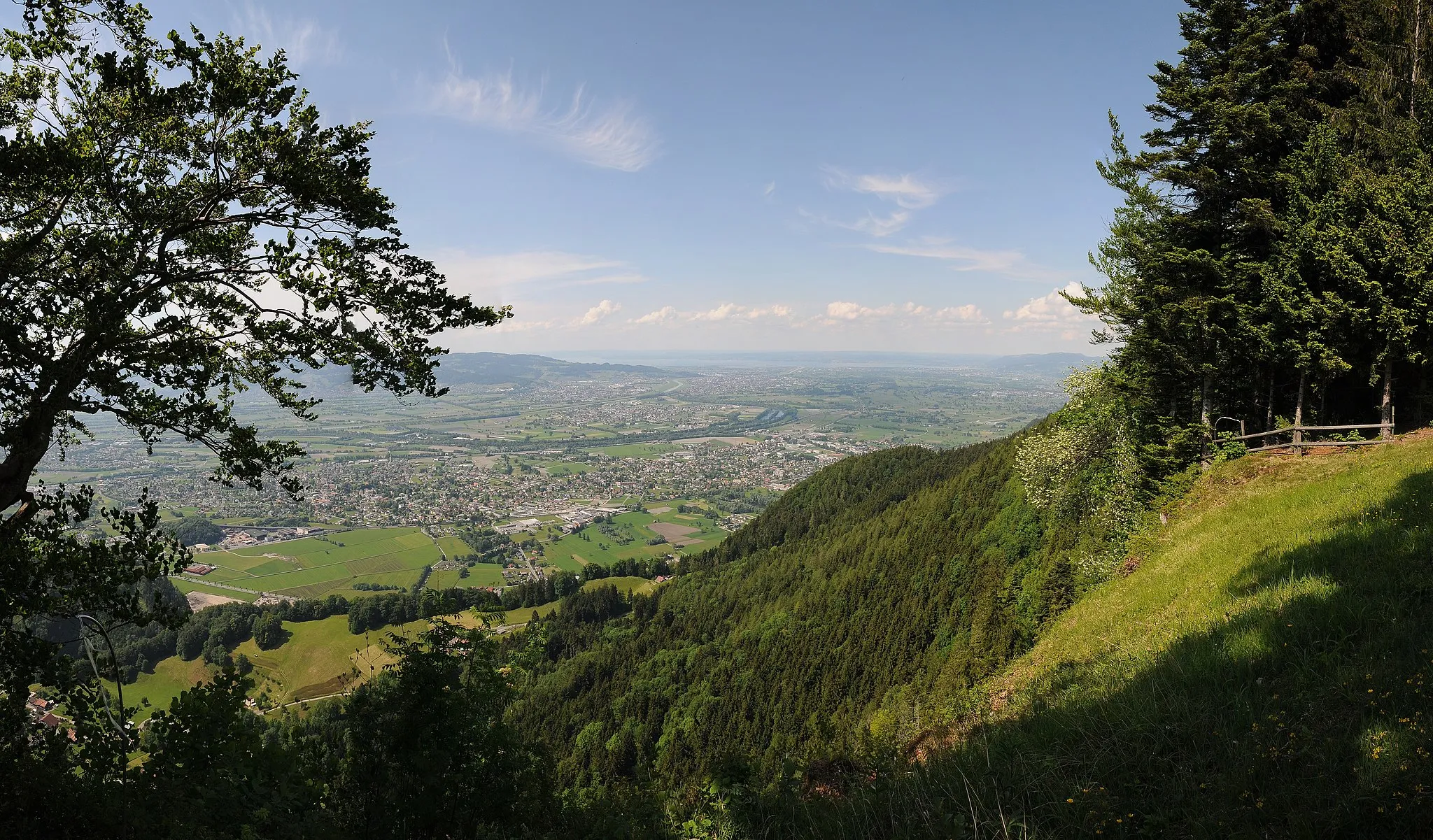
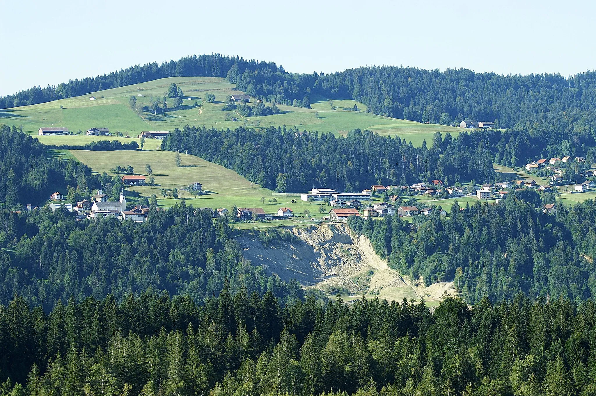
DorenVillaggioDoren is the highest point on the route, offering panoramic views.
103 km
103 km
KänzelePunto panoramicoKänzele is a beautiful natural spot to rest and enjoy the surroundings.
110 km
110 km
Arrivo: Hard Village centerHard: Ciclisti costieri a Hard
Percorsi ciclistici da Hard:
Tour delle Alture di Vorarlberg Percorso Culturale tra Wolfurt e Fußach Il Giro delle Meraviglie di Bregenz Il Giro delle Rovine Austriache Giro Panoramico di Hard e dintorni Esplorazione dei Castelli del Vorarlberg Grande Giro delle Alpi Vorarlberghesi Il Giro dei Villaggi di Vorarlberg Il Giro Panoramico del Vorarlberg Il Giro Gravel delle Alpi
Percorsi ciclabili nelle vicinanze: