Soucieu-en-Jarrest-Crêt du Bouchat Loop
Pyöräilyreitti road alkaen Messimy
Epic road cycling journey with challenging climbs
Kartta
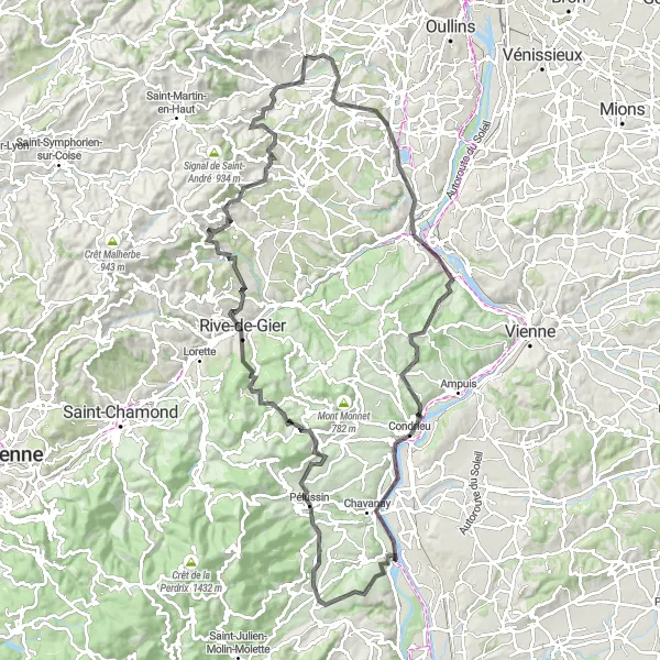
Take on this 120 km road route with 1771 m of ascent, featuring breathtaking views and challenging climbs. Highlights include Givors, Condrieu, and Crêt du Bouchat, offering a mix of natural beauty and cultural heritage along the way.
road
120 km
1771 m
Kova
Reitin profiili
Reitin kohokohdat
0 km
0 km
Aloitus: Messimy Village centerMessimy: Rentouttava pyöräilykohde
Messimy sijaitsee kauniissa ympäristössä Rhône-Alpesin alueella Ranskassa. Alueella on miellyttäviä maantie- ja hiekkateitä, jotka sopivat hyvin pyöräilyyn. Lähistöllä on myös mielenkiintoisia retkikohteita ja aktiviteetteja.4 km
4 km
Soucieu-en-JarrestKyläSoucieu-en-Jarrest is a charming village surrounded by vineyards and rolling hills, providing a scenic backdrop for cyclists exploring the region.
18 km
18 km
GivorsKaupunkiGivors is a historic town with a vibrant atmosphere and lively markets, showcasing the region's rich cultural heritage and culinary delights.
38 km
38 km
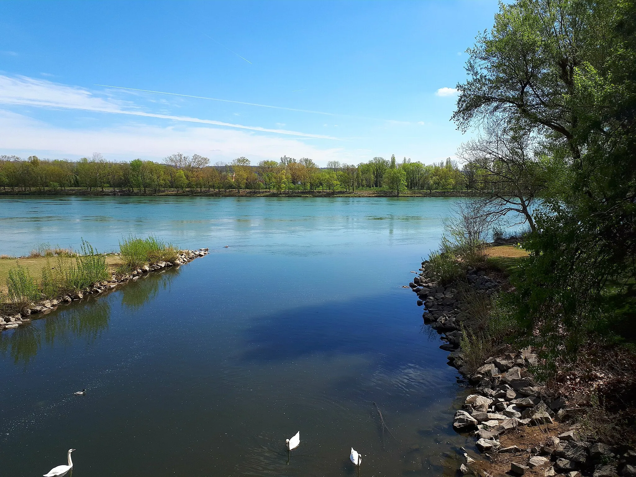
CondrieuKyläCondrieu is a wine lover's paradise, with vineyards stretching as far as the eye can see, offering a unique cycling experience through picturesque landscapes.
50 km
50 km
Saint-Pierre-de-BœufKyläSaint-Pierre-de-Bœuf is a quaint village nestled along the river, with charming cafes and local shops that make it a perfect pit stop during your cycling journey.
72 km
72 km
ChuyerKyläChuyer is a hidden gem with narrow streets and medieval architecture, providing a glimpse into the region's history and heritage.
73 km
73 km
Col de Pavezin652 mVuoristosolaCol de Pavezin is a challenging climb that rewards cyclists with stunning views of the surrounding countryside, making it a must-visit destination for road cycling enthusiasts.
85 km
85 km
Rive-de-GierKaupunkiRive-de-Gier is a vibrant town with a mix of urban and natural landscapes, offering a dynamic backdrop for cyclists exploring the region.
97 km
97 km
Table d'orientationNäköalapaikkaTable d'orientation is an observation point with panoramic views of the surrounding mountains and valleys, making it a great spot to take in the beauty of the Rhône-Alpes region.
109 km
109 km
Crêt du Bouchat586 mHuippuCrêt du Bouchat offers breathtaking vistas of the surrounding landscape, with rolling hills and lush forests that create a picturesque setting for cyclists to enjoy.
113 km
113 km
RontalonKyläRontalon is a charming village with cobbled streets and historic buildings, providing a glimpse into the region's rural heritage and traditional way of life.
120 km
120 km
Maali: Messimy Village centerMessimy: Rentouttava pyöräilykohde
Pyöräilyreitit alkaen Messimy:
Messimy - Missä surullisen tiedon päivä on tapahtunut Lintujen lauluja ja maiseman lumoa Matka lumottuun Rontaloniin Vaugneray-Chazay-d'Azergues Gravel Trail Kiehtova kierros kohti Vienneä Haasteita ja seikkailua Vaugnerayssa Soucieu-en-Jarrest-Crêt du Bouchat Loop Chaponost-Givors Circuit Thurins-Saint-Laurent-de-Vaux Circuit Kaunis kierros kohti Orliénasia Oullins - Messimy Orliénas - Table d'orientation Nousukierros kohti Vaugnerayta Saint-Martin-en-Haut - Marmottes Point de vue Rochefort - Vaugneray Seikkailu Gravel-reitillä