Mountainous Gravel Cycling Route from Montagny to Échalas
Pyöräilyreitti gravel alkaen Taluyers
Embark on a challenging gravel cycling adventure through the rugged terrains of Rhône-Alpes.
Kartta
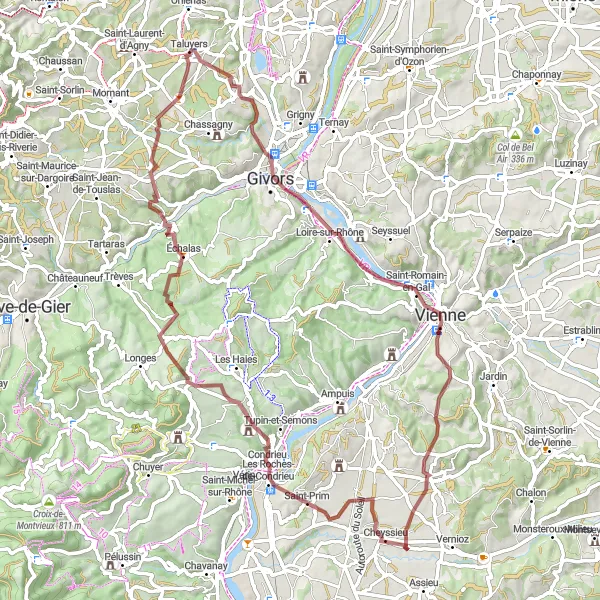
This 73 km route promises an adrenaline-pumping experience with a total ascent of 1396 m. From Montagny to Échalas, you'll traverse through diverse landscapes and picturesque villages. The route highlights include the stunning Belvédère de Pipet and the challenging Col de Chassenoud. Conclude your journey in Échalas, feeling accomplished and exhilarated.
gravel
73 km
1396 m
Kova
Reitin profiili
Reitin kohokohdat
0 km
0 km
Aloitus: Taluyers Village centerTaluyers: Rauhalliset pyöräreitit ja kauniita maisemia.
Taluyers on rauhallinen kylä Rhône-Alpesin alueella Ranskassa. Alueelta löytyy mukavia pyöräreittejä niin maantie- kuin hiekkapyöräilijöille. Kylän ympäristössä on myös luonnonkauniita maisemia ja historiallisia nähtävyyksiä.3 km
3 km
MontagnyKyläStart your adventure in the picturesque town of Montagny.
20 km
20 km
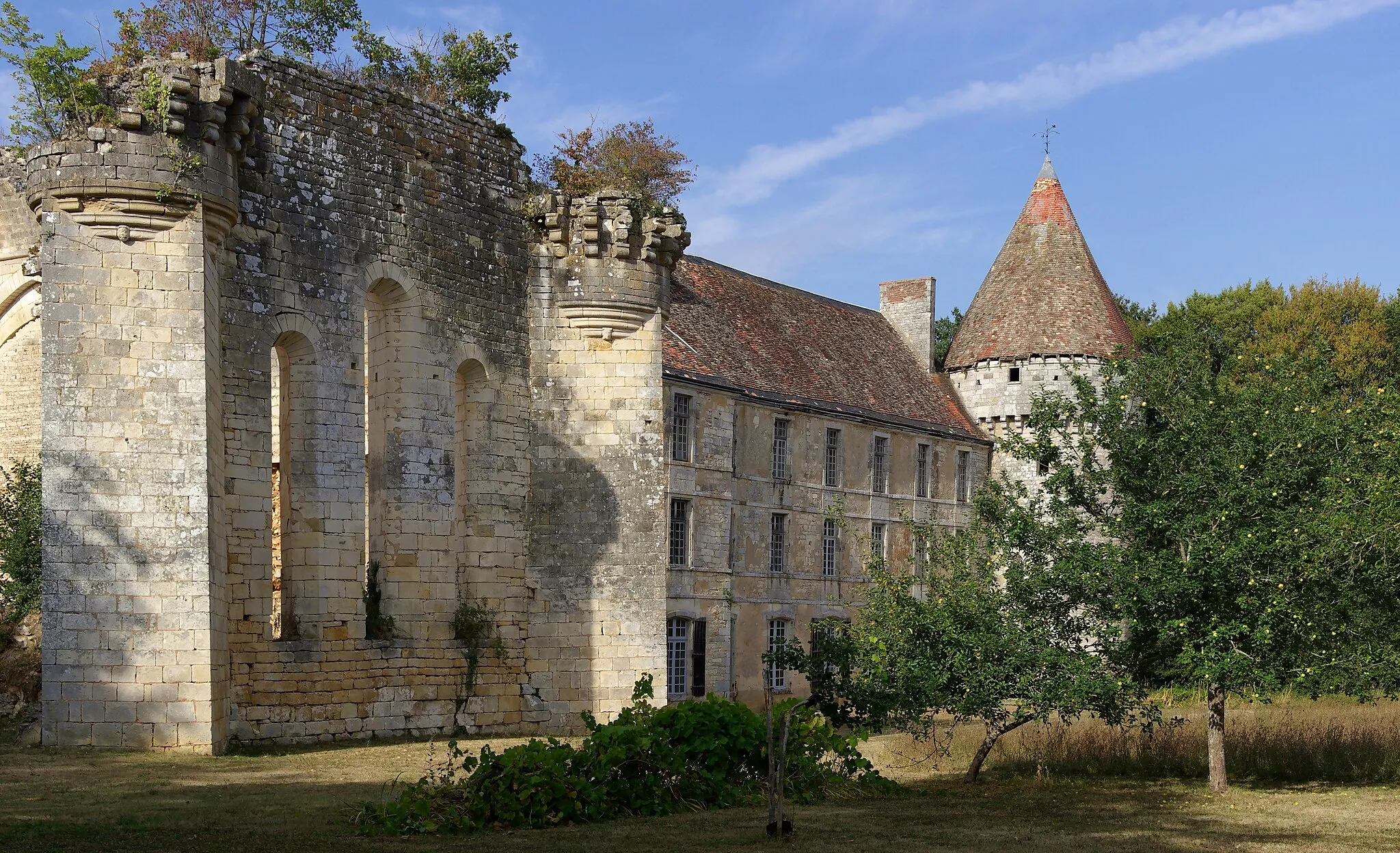
VienneKaupunkiDiscover the historic landmarks of Vienne.
20 km
20 km
Belvédère de PipetNäköalapaikkaAdmire the panoramic views from Belvédère de Pipet.
41 km
41 km
Saint-PrimKyläExperience the rugged beauty of Saint-Prim.
52 km
52 km
Col de Chassenoud555 mVuoristosolaConquer the challenging ascent of Col de Chassenoud.
60 km
60 km
ÉchalasKyläExplore the charming village of Échalas.
73 km
73 km
TaluyersKyläReach the final destination of Taluyers after a thrilling ride.
73 km
73 km
Maali: Taluyers Village centerTaluyers: Rauhalliset pyöräreitit ja kauniita maisemia.
Pyöräilyreitit alkaen Taluyers:
Mornant - Sain-Bel - Taluyers Maantiepyöräreitti kohti Château Le Clos Bourbontia Mountainous Gravel Cycling Route from Montagny to Échalas Gravel-pyöräreitti kohti Taluyersia Gravel Cycling Adventure from Taluyers to Saint-Christo-en-Jarez Maantiepyöräreitti kohti Vieux Châteauta Orliénas - Le Chater Scenic Road Cycling Loop Ympyräreitti Taluyersin lähellä Montagny - Col de Pavezin - Taluyers Taluyers - Montagny Return Road Cycling Route