Panoramic Road Challenge
Pyöräilyreitti road alkaen Civitella di Romagna
Conquer high peaks and enjoy breathtaking views on this challenging road cycling route.
Kartta
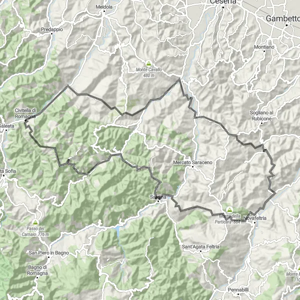
Prepare for a tough 113 km road cycling journey with a total ascent of 3283m, starting near Civitella di Romagna. Highlights include the picturesque village of Sarsina and the panoramic views from Monte della Faggia. Cycle through diverse landscapes and test your skills on challenging climbs, making this route a memorable adventure for road cycling enthusiasts.
road
113 km
3283 m
Kova
Reitin profiili
Reitin kohokohdat
0 km
0 km
Aloitus: Civitella di Romagna Village centerCivitella di Romagna: Maaseutumaisemat ja rauhalliset tiet pyöräilijöille
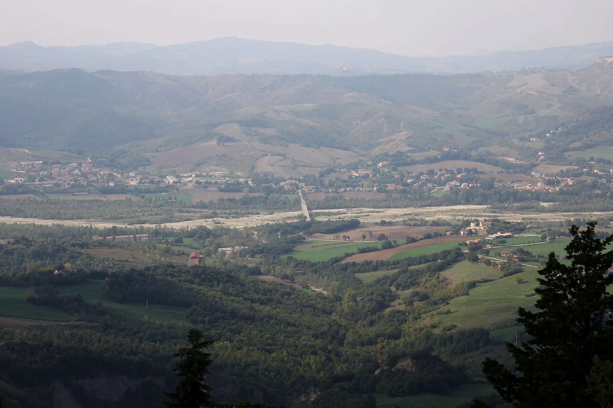
Civitella di Romagna tarjoaa kauniin ympäristön pyöräilijöille, jotka haluavat tutustua Emilia-Romagnan maaseutuun. Alueen rauhalliset tiet sopivat hyvin rentouttavaan pyöräilyyn ja tarjoavat upeita maisemia ympäröiville kukkuloille ja laaksoille. Lähellä sijaitsee myös Apenniinien vuoristo, joka houkuttelee haastavampiin nousuihin.0 km
0 km
Civitella di RomagnaKyläPass through the charming village of Civitella di Romagna.
1 km
1 km
Monte Bergagna580 mHuippuExplore the summit of Monte Bergagna on your cycling journey.
55 km
55 km
SecchianoKyläAdmire the views from Secchiano along the route.
64 km
64 km
Monte della Perticara884 mHuippuConquer the ascent to Monte della Perticara.
78 km
78 km
SarsinaKyläDiscover the beauty of Sarsina on your cycling route.
102 km
102 km
Monte della Faggia852 mHuippuEnjoy panoramic views from Monte della Faggia.
109 km
109 km
Monte Santo Stefano436 mHuippuAdmire the landscapes from Monte Santo Stefano summit.
113 km
113 km
Rocca di CivitellaLinnaExplore the historical site of Rocca di Civitella along the route.
113 km
113 km
Maali: Civitella di Romagna Village centerCivitella di Romagna: Maaseutumaisemat ja rauhalliset tiet pyöräilijöille
Pyöräilyreitit alkaen Civitella di Romagna:
Extreme gravel-kierros Civitella di Romagnassa Maastopyöräilyreitti Civitella di Romagnan läheisyydessä Gravel-seikkailu Civitella di Romagnassa Pyöräilyseikkailu Civitella di Romagnassa Civitella di Romagnan huimapää reitti Maantiepyöräilyreitti Civitella di Romagnan läheisyydessä Gravel-retki Civitellan ympäristössä Haastava maantiepyöräilyreitti Civitella di Romagnan läheisyydessä Emilia-Romagna Scenic Ride Romagna Road Adventure Civitella di Romagna - Monte Santo Stefano Circular Road Cycling Route Panoramic Road Challenge