Rupperswil - Auenstein
Pyöräilyreitti road alkaen Rupperswil
Challenging road cycling route with rewarding views
Kartta
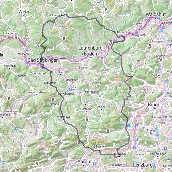
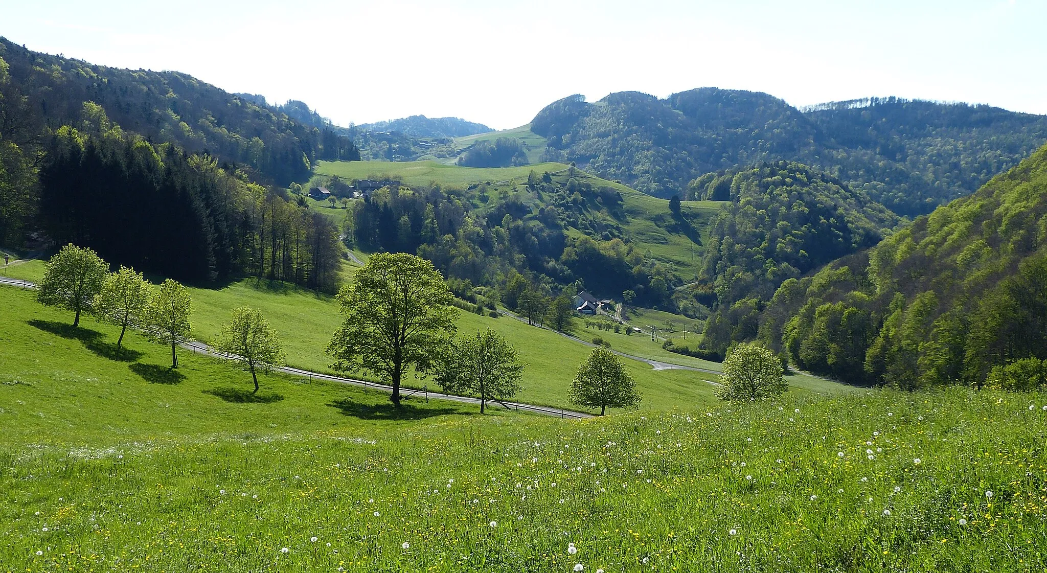
This 91 km road route starting from Rupperswil takes cyclists through picturesque landscapes, including the impressive Bözbergpass. The ascent of 1822 m provides a good workout, while highlights like Wasserflue and Hoheneck offer scenic stops along the way.
road
91 km
1822 m
Raaka
Reitin profiili
Reitin kohokohdat
0 km
0 km
Aloitus: Rupperswil Village centerRupperswil: Monipuoliset pyöräilymahdollisuudet
Rupperswil Nordwestschweizissa tarjoaa monipuolisia pyöräilymahdollisuuksia ja viehättäviä kylämaisemia. Alueella ei ole tunnettuja pyöräilykohteita, mutta se on suosittu paikallisten pyöräilijöiden keskuudessa.0 km
0 km
RupperswilKyläRupperswil marks the starting point of this challenging road cycling route.
10 km
10 km
Wasserflue844 mHuippuWasserflue provides a scenic viewpoint along the route, offering a stunning panorama of the surrounding area.
30 km
30 km
Bad SäckingenKaupunkiBad Säckingen is a charming town to stop and explore during the journey.
34 km
34 km
Röthekopf510 mHuippunäköalapaikkaRöthekopf offers a beautiful natural setting, perfect for a relaxing break during the ride.
47 km
47 km
Hoheneck826 mHuippuHoheneck is a highlight that provides cyclists with another fantastic view of the countryside.
58 km
58 km
AlbbruckKyläAlbbruck is a charming village worth visiting along the way, known for its quaint architecture.
73 km
73 km
MönthalKyläMönthal is a peaceful village that offers a quiet break for cyclists to rest and recharge.
79 km
79 km
Bözbergpass569 mVuoristosolaBözbergpass is a challenging but rewarding part of the route, offering stunning views at the summit.
88 km
88 km
AuensteinKyläAuenstein marks the end point of this road cycling adventure, with its tranquil setting by the river.
91 km
91 km
Maali: Rupperswil Village centerRupperswil: Monipuoliset pyöräilymahdollisuudet
Pyöräilyreitit alkaen Rupperswil:
Maalaismaisemat ja historialliset kohteet Wildeggistä Baldegin vesitorniin Rupperswil - Schlossberg Historiallinen seikkailu Mörikenistä Villmergeniin Historiallinen pyöräilyretki Rupperswilstä Schafisheimiin Rupperswil - Staufberg Maaseutu kiertue Lenzburgista Rupperswiliin Rupperswil-Menziken Loop Rupperswil - Auenstein Rupperswil - Hausen Aarau-Frick Loop Küttigen-Koblenz Loop