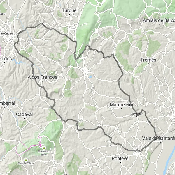
Vila Chã de Ourique Loop
Uma rota de ciclismo de road começando em Vale de Santarem
Explore the charming countryside surrounding Vila Chã de Ourique on this challenging road route.
Mapa
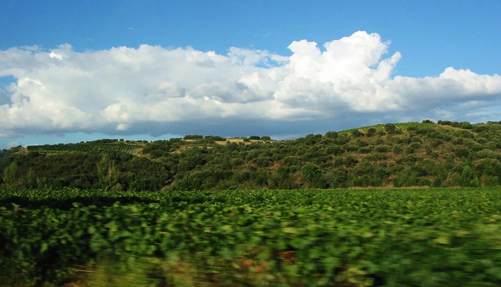
This route takes you through picturesque villages, rolling hills, and scenic landscapes, offering a true taste of the Alentejo region. With a total ascent of 1674m over 126km, be prepared for a demanding but rewarding ride. Don't miss the highlights along the way, including the historic town of Alguber and the stunning views from Salir de Matos.
road
126 km
1674 m
Selvagem
Perfil da rota
Destaques na rota
0 km
0 km
Início: Vale de Santarém City centerVale de Santarém: Tranquilidade rural e trilhas de gravel em Vale de Santarém.
Vale de Santarém, localizado no Alentejo, oferece belas paisagens rurais com estradas tranquilas ideais para ciclismo. Há diversas trilhas de gravel disponíveis na região, tornando-a um ótimo local para explorar de bicicleta. Não muito longe, os ciclistas podem encontrar a famosa subida da Serra de Montejunto, conhecida por desafiar até os mais experientes.3 km
3 km
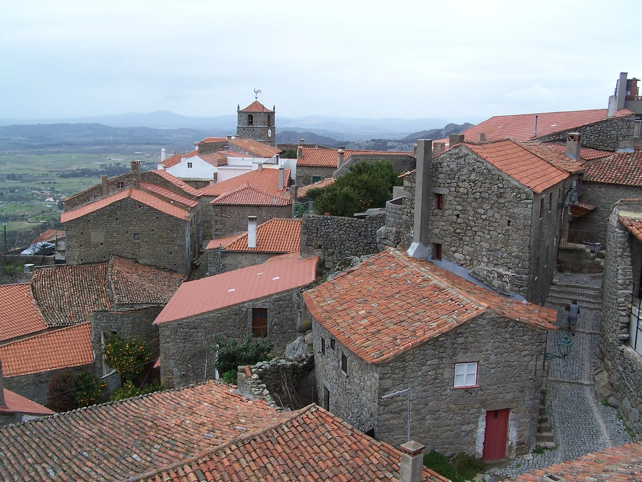
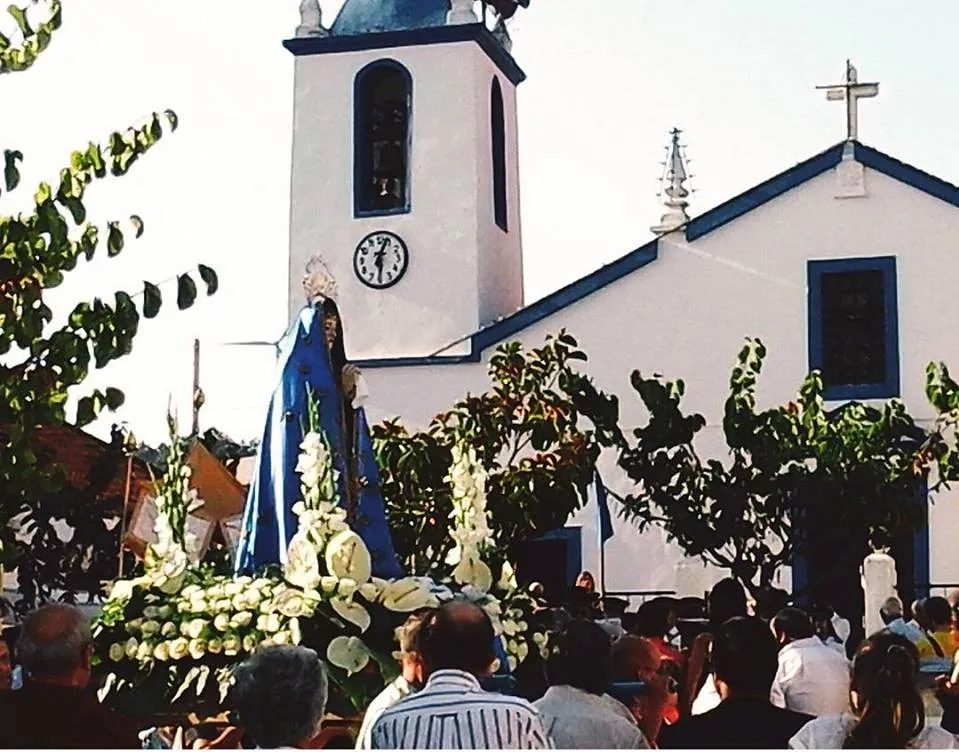
Vila Chã de OuriqueCidadeDiscover the quaint streets and traditional architecture of this charming village.
15 km
15 km
MaçussaVilaPause to admire the beautiful Church of Maçussa and its Baroque details.
28 km
28 km
Zemaneiro165 mPicoRide through the peaceful village of Zemaneiro, surrounded by lush greenery.
38 km
38 km
AlguberVilaExplore the historic town of Alguber with its medieval castle ruins and narrow streets.
55 km
55 km
GaeirasCidadeEnjoy the scenic views of Gaeiras as you pedal through the countryside.
64 km
64 km
Salir de MatosVilaTake a break in the charming village of Salir de Matos, known for its traditional handicrafts.
69 km
69 km
Cabeça Alta181 mPicoAdmire the panoramic views from Cabeça Alta, a must-stop for any cyclist.
88 km
88 km
São Martinho304 mPicoDiscover the beauty of São Martinho, a peaceful village with a rich agricultural heritage.
92 km
92 km
São SebastiãoVilaVisit São Sebastião, a hidden gem with a tranquil atmosphere and friendly locals.
105 km
105 km
Engarnal152 mPicoPedal through the village of Engarnal, known for its traditional windmills and watermills.
115 km
115 km
AlmosterVilaExplore the charming village of Almoster, surrounded by vineyards and olive groves.
123 km
123 km
Isenta103 mPicoPass through the village of Isenta, famous for its traditional handicrafts and local cuisine.
126 km
126 km
Chegada: Vale de Santarém City centerVale de Santarém: Tranquilidade rural e trilhas de gravel em Vale de Santarém.
Rotas de ciclismo a partir de Vale de Santarem:
Rotas de ciclismo nas proximidades: