Mountain Challenge via Col Perdu
En road sykkelrute som starter fra Villar-Saint-Pancrace
Embark on a thrilling mountain challenge via Col Perdu on this road cycling route
Kart
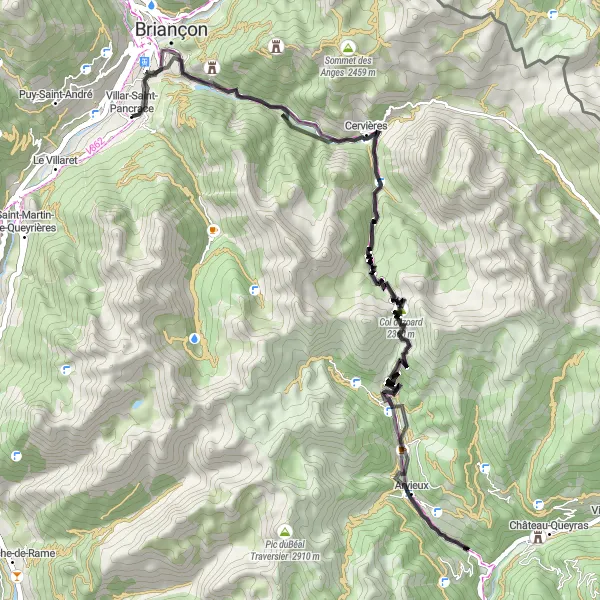
This 69 km road cycling route near Villar-Saint-Pancrace offers a total ascent of 2511m, providing a thrilling challenge for experienced cyclists. Highlights include Villar-Saint-Pancrace, Fort d'Anjou, Cervières, Col Perdu, Arvieux, Belvédère du Coin, Col d'Izoard, and Le Laus. Cyclists can push their limits on demanding climbs and descents while enjoying the stunning mountain scenery and cultural landmarks along the way.
road
69 km
2511 m
Savage
Ruteprofil
Høydepunkter på ruten
0 km
0 km
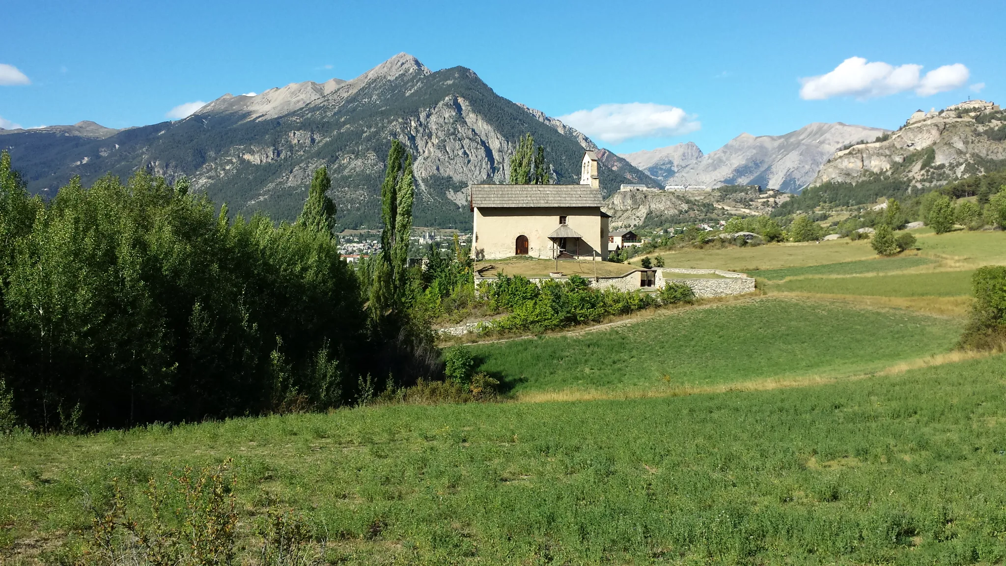
Start: Villar-Saint-Pancrace Village centerVillar-Saint-Pancrace: Opplev Villar-Saint-Pancrace og dens alpelandskap på sykkel.
Villar-Saint-Pancrace er en liten landsby i Provence-Alpes-Côte d’Azur-regionen i Frankrike. Med sitt rolige tempo og vakre alpelandskap, er det et flott sted for syklister som søker fred og ro. Det er også noen krevende klatringer i nærheten for de som vil teste beina.0 km
0 km
Villar-Saint-PancraceLandsbyStarting in Villar-Saint-Pancrace, cyclists can enjoy the charming ambiance and beautiful views of the alpine landscape before embarking on their mountain challenge.
5 km
5 km
Fort d'AnjouSlottFort d'Anjou is a historical fortress along the route, offering cyclists a glimpse into the region's military past and strategic importance in the mountains.
10 km
10 km
CervièresLandsbyCervières is a picturesque village nestled in the mountains, providing cyclists with a peaceful retreat and stunning views of the surrounding peaks.
20 km
20 km
Col Perdu2490 mFjellovergangCol Perdu is a challenging mountain pass known for its steep gradients and rugged terrain, offering cyclists a true test of their climbing skills and endurance.
31 km
31 km
ArvieuxLandsbyArvieux is a quaint village along the route, known for its traditional architecture and scenic beauty, making it a perfect spot for cyclists to rest and refuel.
37 km
37 km
Belvédère du coinUtsiktspunktBelvédère du Coin is a scenic viewpoint offering panoramic views of the valley below, allowing cyclists to take a moment and appreciate the natural beauty of the region.
48 km
48 km
Col d'Izoard2360 mFjellovergangCol d'Izoard is a legendary mountain pass with a rich cycling history, providing riders with a challenging yet rewarding climb and breathtaking views at the summit.
56 km
56 km
Le LausGrendLe Laus is a picturesque village that offers cyclists a charming setting to take a break and enjoy the peaceful surroundings.
69 km
69 km
Slutt: Villar-Saint-Pancrace Village centerVillar-Saint-Pancrace: Opplev Villar-Saint-Pancrace og dens alpelandskap på sykkel.
Sykkelruter fra Villar-Saint-Pancrace:
Col d'Izoard Road Cycling Route Epic Road Cycling Adventure to Col de l'Échelle Utforskende grusvei eventyr Gravel Adventure to Les Alberts Vakker landevei rundtur Grusvei eventyr i Alpene Mountain Challenge via Col Perdu Utfordrende grusvei opplevelse Scenic Gravel Tour to Vallouise Col du Galibier og Cenis-tunnelen fra Villar-Saint-Pancrace