Gravel Path to Saint-Symphorien-sur-Coise
En gravel sykkelrute som starter fra Brindas
Embark on a gravel adventure to discover hidden gems
Kart
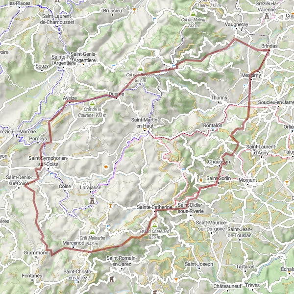
Embark on a 73 km gravel cycling route with an ascent of 1585 m. Highlights include Messimy, Crêt du Bouchat, Table d'orientation, and Saint-Symphorien-sur-Coise. Experience the rugged terrain and off-the-beaten-path charm of this unique cycling path.
gravel
73 km
1585 m
Tøff
Ruteprofil
Høydepunkter på ruten
0 km
0 km
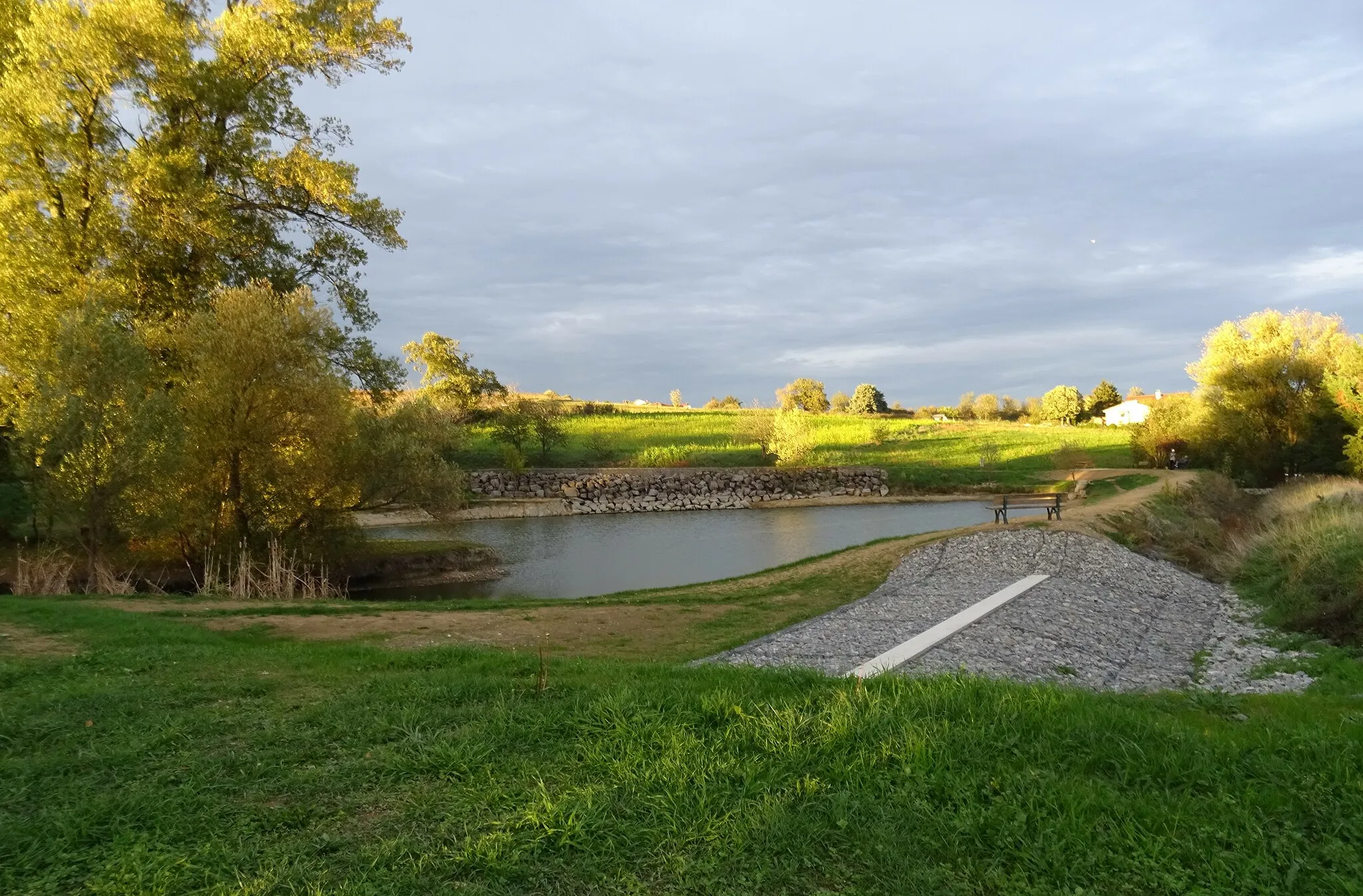
Start: Brindas Village centerBrindas: Flotte stier og variert terreng
Brindas er et flott sted for gravel syklister med sine landeveier og stier som fører gjennom vakre skoger og åpne landskap. Det rolige miljøet og varierte terreng gjør det til et ideelt sted for sykling.3 km
3 km
MessimyLandsbyPass through the scenic village of Messimy and soak in the peaceful atmosphere.
9 km
9 km
Crêt du Bouchat586 mToppAdmire the panoramic views from the summit of Crêt du Bouchat and take a moment to appreciate the surrounding nature.
21 km
21 km
Table d'orientationUtsiktspunktVisit the Table d'orientation for a bird's eye view of the surrounding landscape.
21 km
21 km
RiverieLandsbyDiscover the hidden gem of Riverie and experience the quaint charm of this village.
29 km
29 km
Crêt Reynaud920 mToppChallenge yourself on the uphill climb to Crêt Reynaud and enjoy the sense of accomplishment at the top.
45 km
45 km
Saint-Symphorien-sur-CoiseLandsbyExplore the historic town of Saint-Symphorien-sur-Coise and immerse yourself in its rich heritage.
52 km
52 km
AveizeLandsbyPedal through the scenic landscapes of Aveize and marvel at the natural beauty along the way.
60 km
60 km
Col des Brosses867 mFjellovergangTake in the stunning views from the Col des Brosses and capture the beauty of the surrounding countryside.
70 km
70 km
VaugnerayLandsbyConclude your gravel cycling journey in Vaugneray and reflect on the unique experiences of the day.
73 km
73 km
Slutt: Brindas Village centerBrindas: Flotte stier og variert terreng
Sykkelruter fra Brindas:
Challenging Thurins Road Loop Grusvei eventyr i Rhône-Alpes Gravel Path to Saint-Symphorien-sur-Coise Rontalon til Vaugneray Sykling Rundtur fra Brindas - Road Sykling Rundtur fra Brindas - Road Lyon Countryside Road Expedition Vaugneray Road Cycling Adventure Landsbyopplevelser på sykkel Kupert terreng i Rhône-Alpes Sykkeltur til Brindas og omegn Gruskjøring i Brindas-regionen