Meximieux til Ambronay
En road sykkelrute som starter fra Saint-Denis-en-Bugey
Utforsk den vakre ruten fra Meximieux til Ambronay på sykkel
Kart
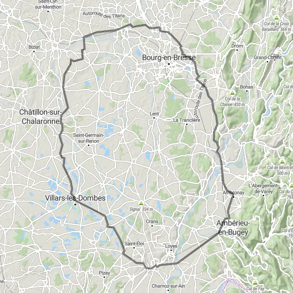
Med en høydestigning på 447 meter og en total distanse på 121 kilometer, gir denne ruten en flott blanding av utfordringer og naturopplevelser. Besøk sjarmerende landsbyer og historiske steder langs veien og nyt den friske luften mens du sykler gjennom det franske landskapet.
road
121 km
447 m
Tøff
Ruteprofil
Høydepunkter på ruten
0 km
0 km
Start: Saint-Denis-en-Bugey Village centerSaint-Denis-en-Bugey: Charming area for cycling
Saint-Denis-en-Bugey er en sjarmerende lokalitet i Rhône-Alpes regionen i Frankrike. Området har rolige landeveier og grusstier som passer for sykling. Selv om det ikke er noen kjente klatringer i nærheten, kan syklister nyte vakre landskap og utforske det pittoreske området.13 km
13 km
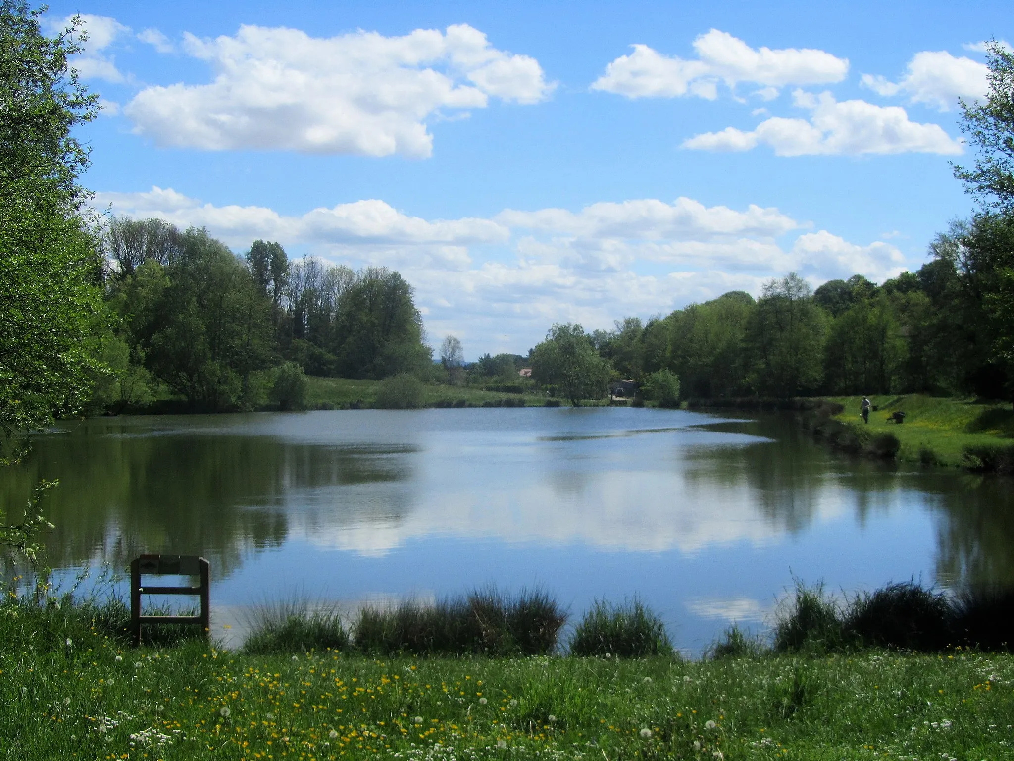
MeximieuxLandsbyDiscover the beauty of Meximieux and take a stroll through this charming town.
32 km
32 km
Villars-les-DombesByExplore Villars-les-Dombes and immerse yourself in the history of the region.
53 km
53 km
Neuville-les-DamesLandsbyPass through Neuville-les-Dames and enjoy the peaceful surroundings.
64 km
64 km
MézériatLandsbyCycle through Mézériat and discover the hidden gems of this lovely town.
79 km
79 km
ViriatLandsbyVisit Viriat and explore the cultural heritage of this historic town.
101 km
101 km
Saint-Martin-du-MontLandsbyDiscover Saint-Martin-du-Mont and take in the beauty of this small village.
104 km
104 km
Mont de Turgon344 mToppVenture to Mont de Turgon for a taste of the French countryside.
113 km
113 km
AmbronayLandsbyExplore the picturesque town of Ambronay and enjoy its peaceful ambiance.
121 km
121 km
Vue sur la plaine de l'AinUtsiktspunktAdmire the panoramic views over Ain Plain as you reach the end of the route.
121 km
121 km
Slutt: Saint-Denis-en-Bugey Village centerSaint-Denis-en-Bugey: Charming area for cycling
Sykkelruter fra Saint-Denis-en-Bugey:
Ain Valley Gravel Loop Bourg-Saint-Christophe til Châtillon-la-Palud Loyettes til Bramafan's Cross Chazey-sur-Ain til Pérouges Rhône-Alpes Road Adventure Bugey Plateau Gravel Adventure Gravel Adventure to Lompnas Meximieux til Ambronay Ain River Scenic Ride Nantua Lake Circuit Cerin Bog Loop Ceignes Mountain Gravel Ride