Trasa rowerowa szosowa do Gerasdorf bei Wien
Trasa rowerowa o rodzaju road rozpoczynająca się w miejscowości Langenzersdorf
Przejażdżka szlakiem pełnym widokowych punktów
Mapa
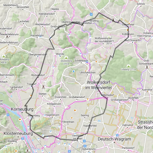
Trasa rowerowa szosowa prowadzi przez urokliwe Bisamberg (Elisabethhöhe) i urokliwe Harmannsdorf. Na trasie warto zobaczyć Großrußbach oraz przepiękny Ochsenberg. Pamiętaj także o zameku Gaweinstal oraz malowniczym Gerasdorf bei Wien.
road
76 km
510 m
Trudna
Profil trasy
Najważniejsze punkty na trasie
0 km
0 km
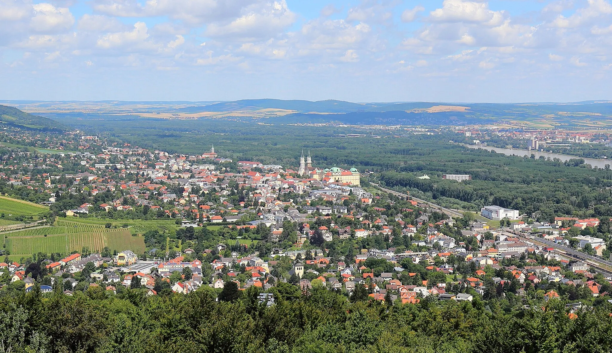
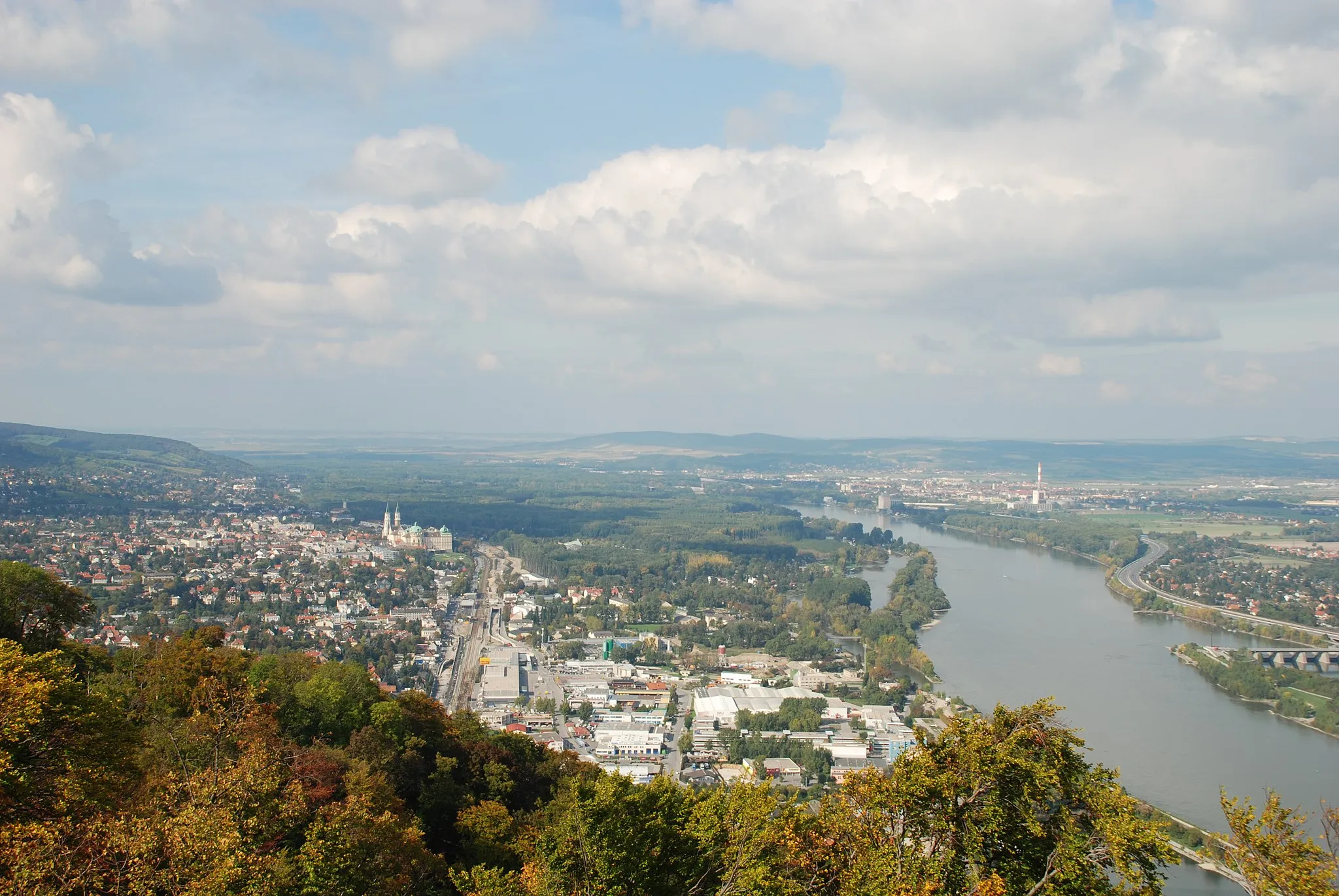
Start: Langenzersdorf Village centerLangenzersdorf: Danube River cycling in a charming town setting.
Langenzersdorf is a picturesque town in Niederösterreich, Austria, surrounded by lush greenery and the tranquil waters of the Danube River. Road cyclists will enjoy the flat terrain and scenic routes along the riverbanks, perfect for leisurely rides or sightseeing tours. Nearby cycling spots include the popular Donauradweg, a scenic cycling path that follows the Danube River. With its charming landscapes and relaxed atmosphere, Langenzersdorf is a great destination for cyclists of all levels.1 km
1 km
Bisamberg (Elisabethhöhe)358 mSzczytBisamberg - miejsce z niepowtarzalnym krajobrazem
11 km
11 km
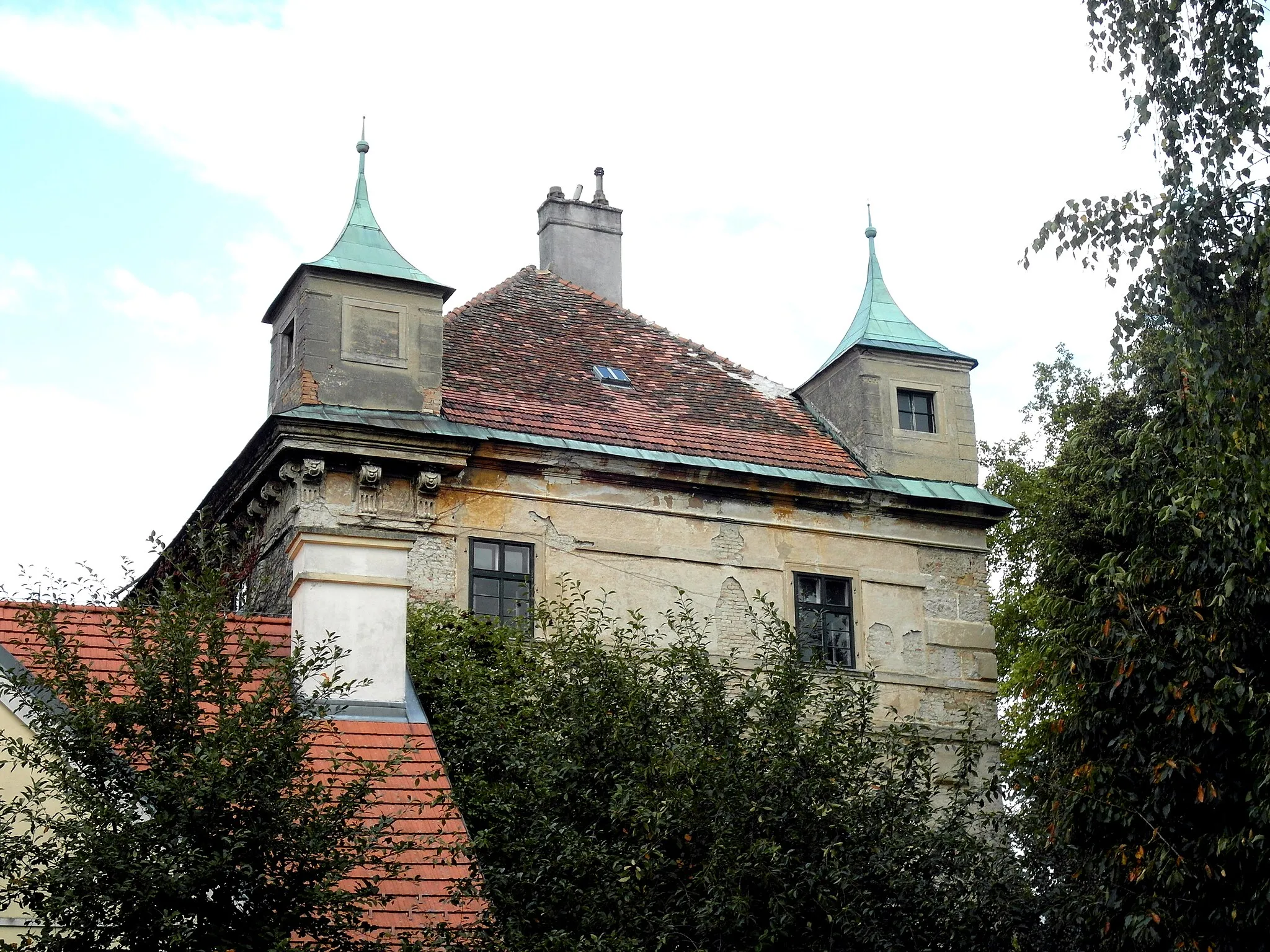
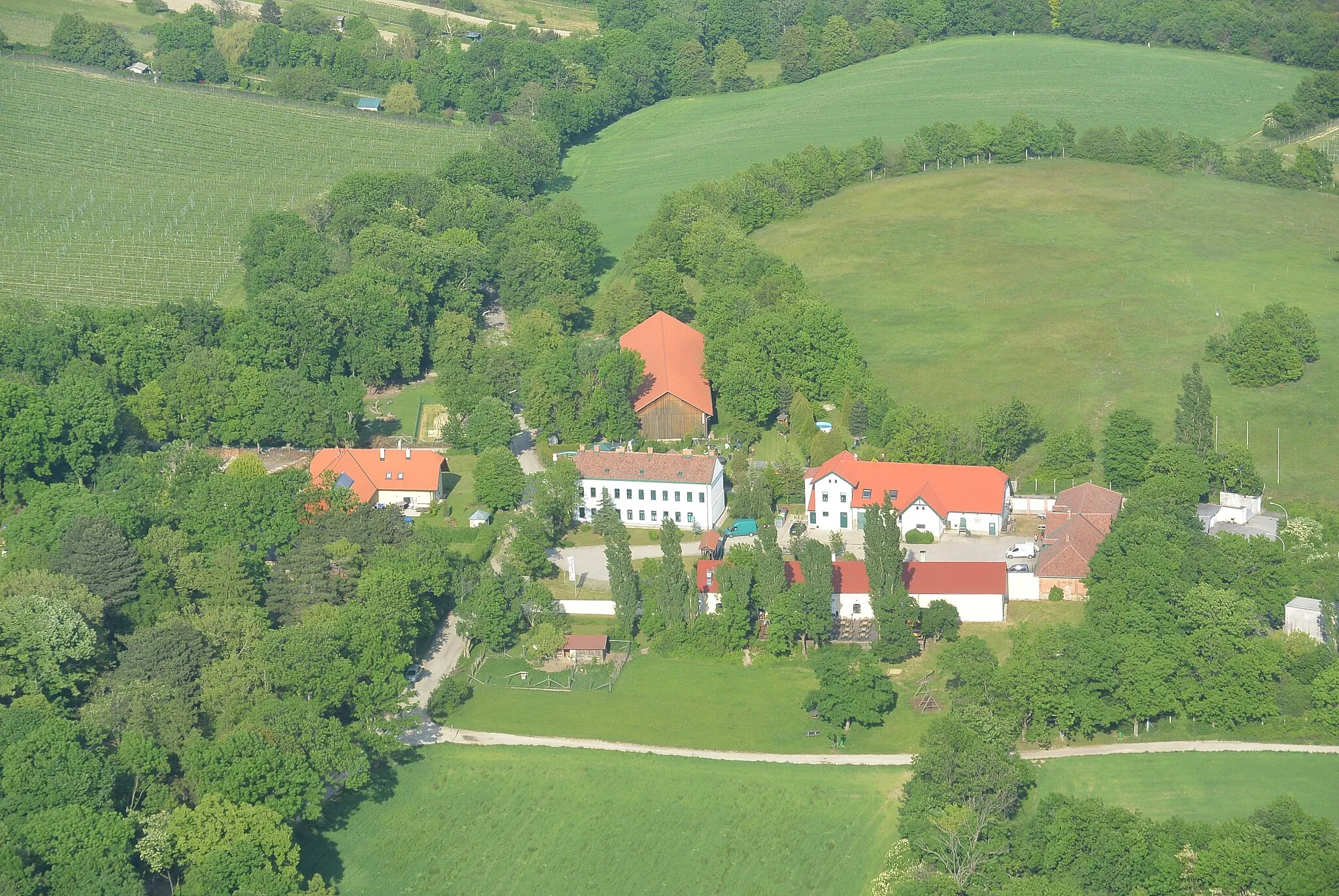
HarmannsdorfWioskaHarmannsdorf - lokalizacja z interesującymi zabytkami
23 km
23 km
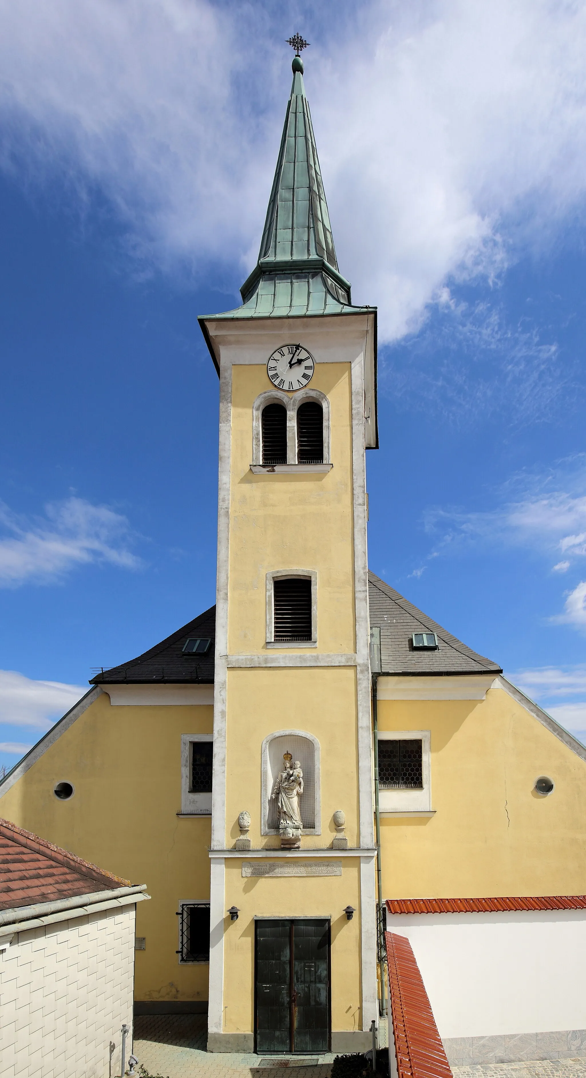
GroßrußbachWioskaGroßrußbach - urocze miejsce na odpoczynek
25 km
25 km
Ochsenberg350 mSzczytOchsenberg - punkt widokowy na piękne okolice
39 km
39 km
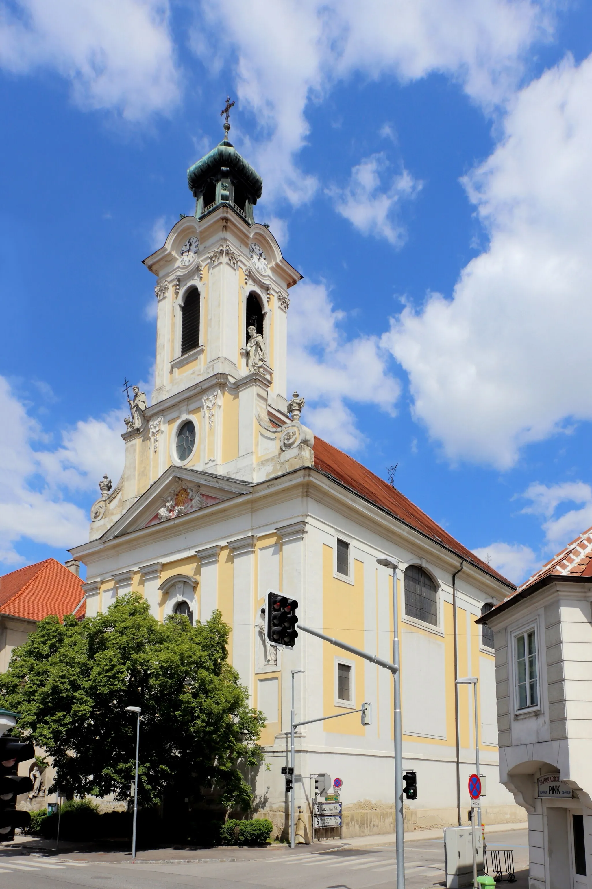
GaweinstalWioskaGaweinstal - urokliwa miejscowość na trasie
48 km
48 km
Kasernberg282 mSzczytKasernberg - historyczne miejsce warte zobaczenia
56 km
56 km
Kalvarienberg173 mSzczytKalvarienberg - miejsce z duchem historii
56 km
56 km
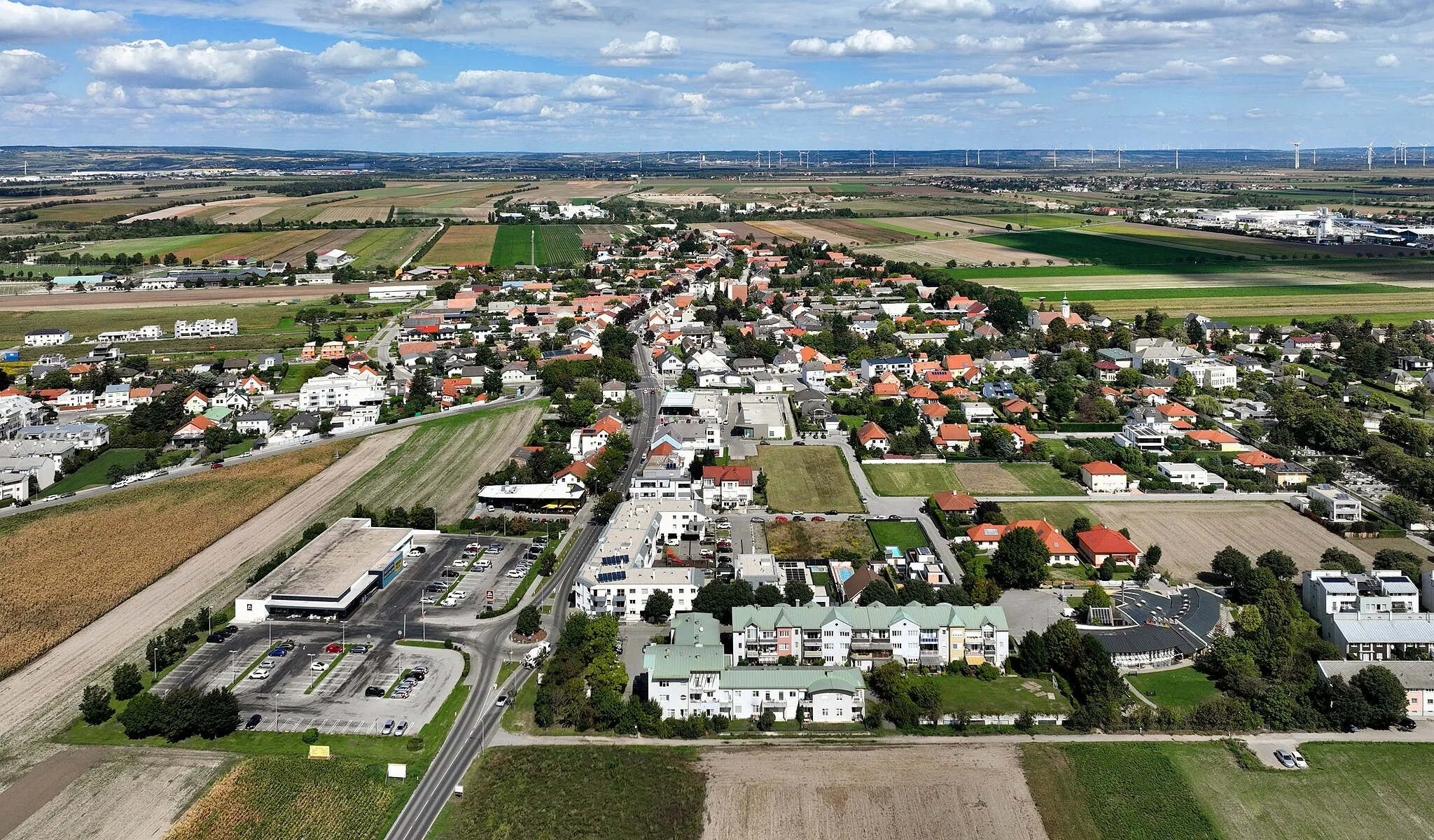
PillichsdorfWioskaPillichsdorf - urokliwa miejscowość na szlaku
67 km
67 km
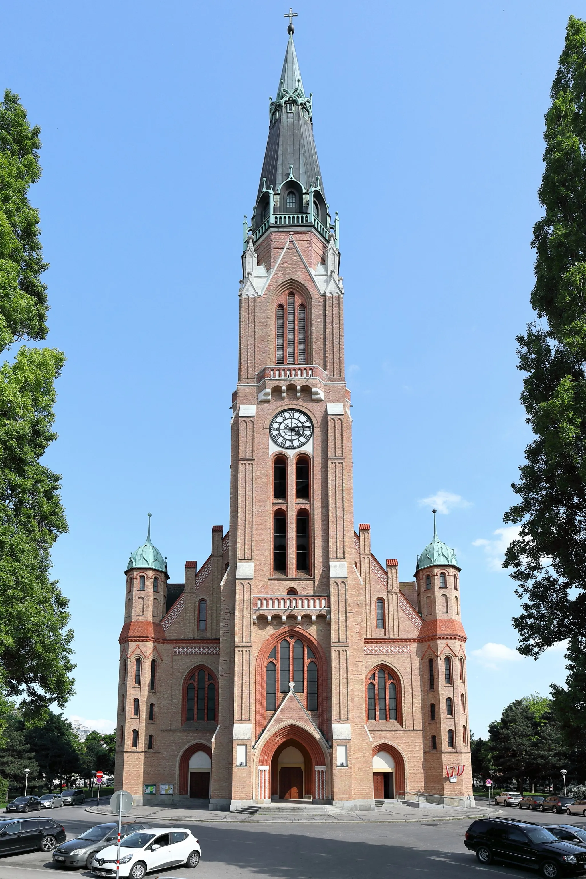
Gerasdorf bei WienWioskaGerasdorf bei Wien - fascynujące miasto do zwiedzania
75 km
75 km
Lanerberg304 mSzczytLanerberg - punkt widokowy na piękne okolice
76 km
76 km
Miejsce docelowe: Langenzersdorf Village centerLangenzersdorf: Danube River cycling in a charming town setting.
Trasy rowerowe z Langenzersdorf:
Trasa przez Bisamberg i Göllersdorf Trasa rowerowa szosowa do Gerasdorf bei Wien Trasa rowerowa gravelowa do Bisamberg Praunsberg i Ernstbrunn na szutrowej trasie Przez Würnitz i Großengersdorf na szosie Trasa przez Burg Greifenstein i Korneuburg Trasa rowerowa szosowa do Bisamberg Trasa rowerowa gravelowa do Harmannsdorf Trasa rowerowa szosowa do Poysdorf Przez Donauinsel i Burgstall na szutrze
Trasy rowerowe w okolicy: