Poznać Loitzendorf i Melk
Trasa rowerowa o rodzaju gravel rozpoczynająca się w miejscowości Ober-Grafendorf
Przemierzając drogi gravel poprzez Niederösterreich
Mapa
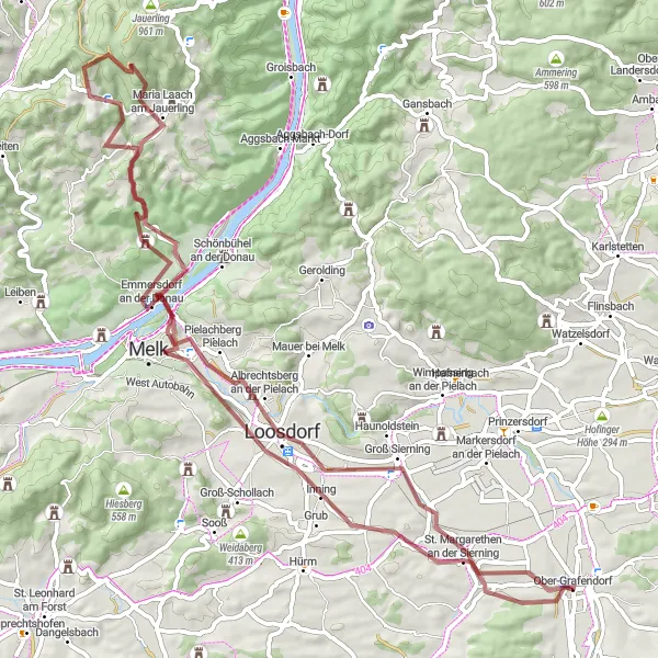
Trasa gravel licząca 75 km zabierze Cię w niezapomnianą podróż od Sierninger Berg po Ober-Grafendorf. Po drodze można podziwiać malownicze krajobrazy, w tym piękne wsie i zamki.
gravel
75 km
1040 m
Trudna
Profil trasy
Najważniejsze punkty na trasie
0 km
0 km
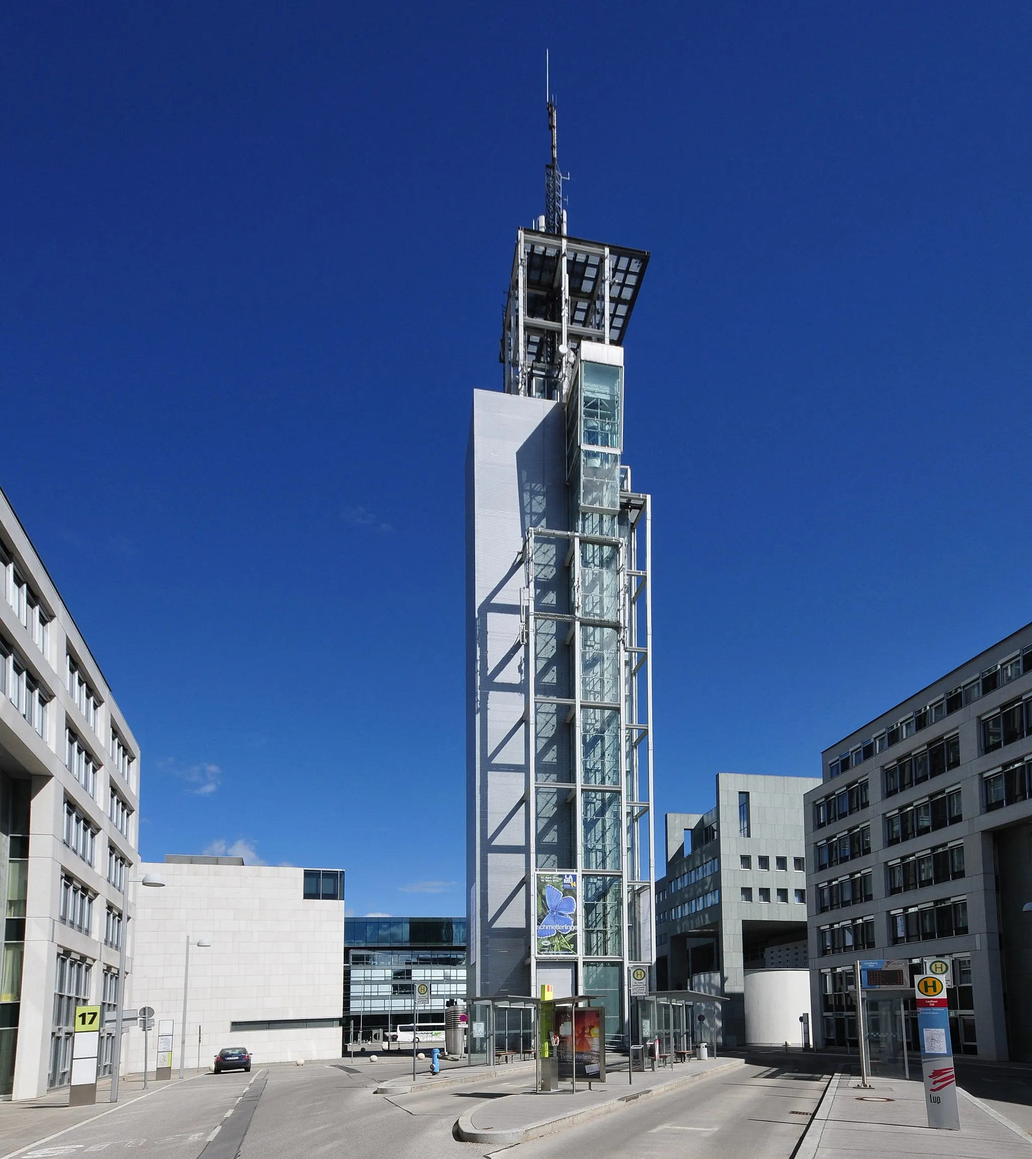
Start: Ober-Grafendorf Village centerOber-Grafendorf: Tranquil cycling in the Austrian countryside.
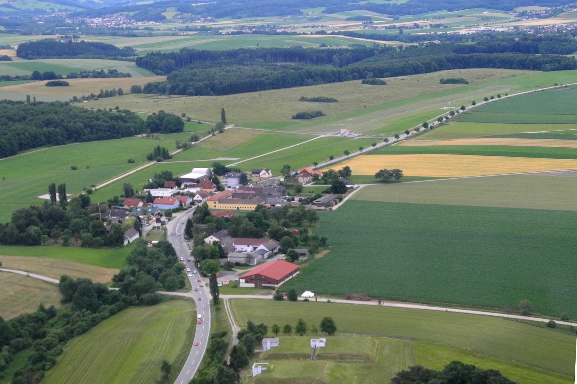
Ober-Grafendorf is a quaint town in Niederösterreich, Austria, surrounded by lush greenery and rolling hills. Road cyclists will enjoy the peaceful countryside roads and the chance to explore the local culture and history. While there are no major climbs in the immediate vicinity, the area is perfect for leisurely rides and scenic cycling adventures. Ober-Grafendorf is a great destination for cyclists looking to unwind and soak in the natural beauty of the region.11 km
11 km
Sierninger Berg323 mSzczytSierninger Berg to malownicze wzgórze, które oferuje wyjątkowe widoki
15 km
15 km
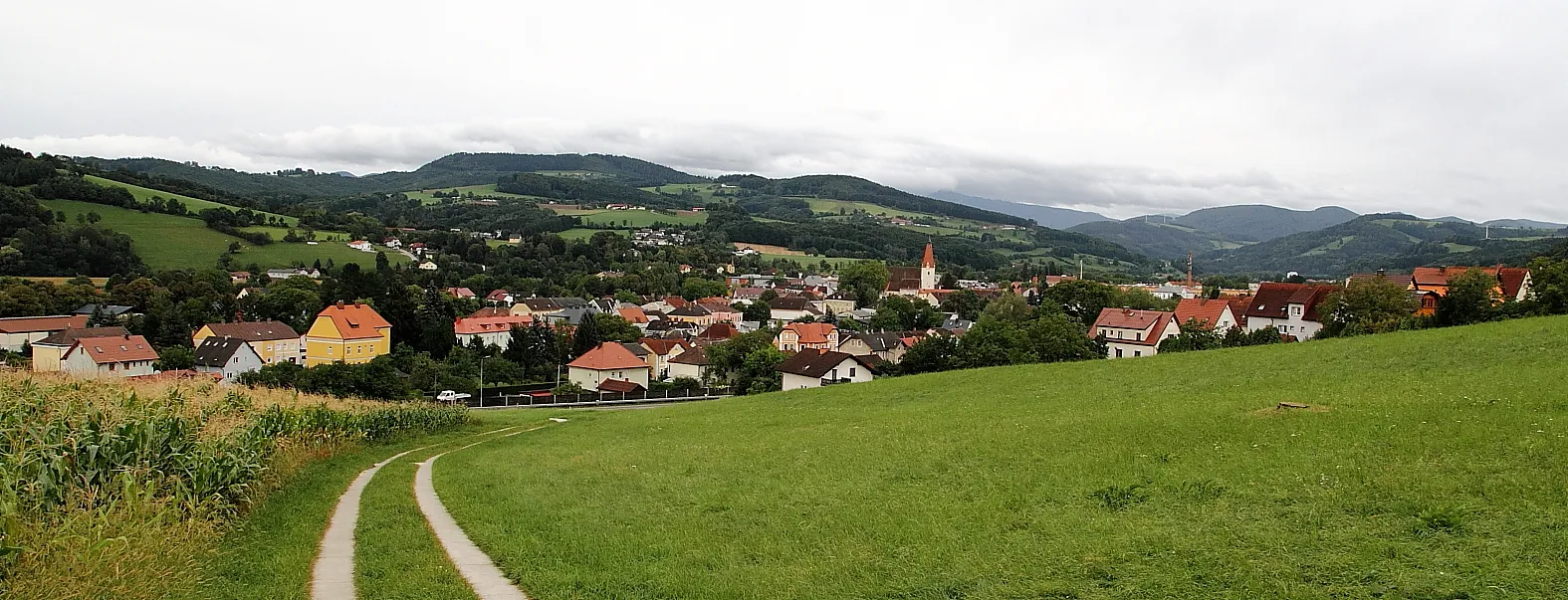
LoosdorfMiastoLoosdorf to urokliwe miasteczko z bogatą historią i zabytkami
32 km
32 km
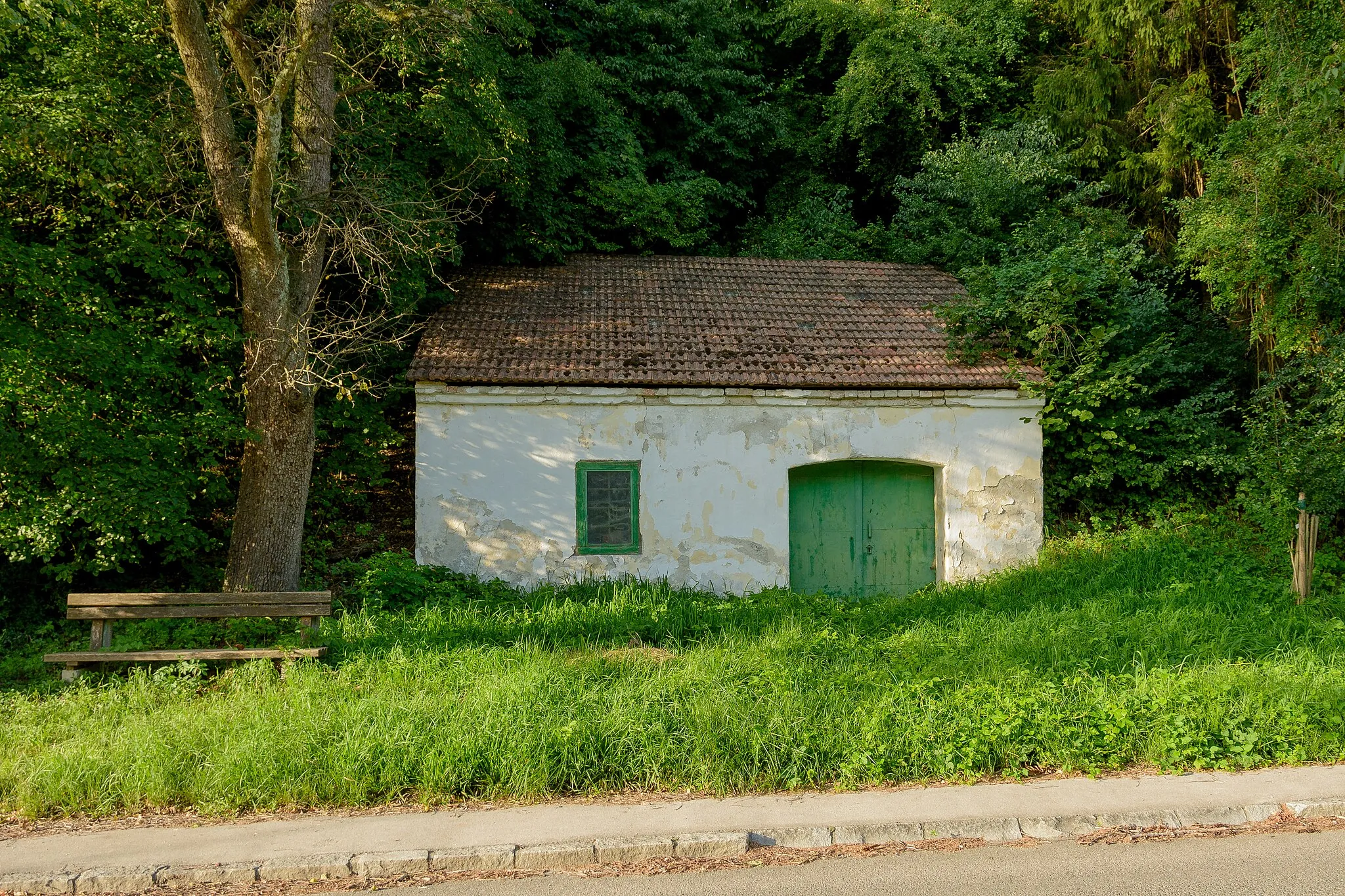
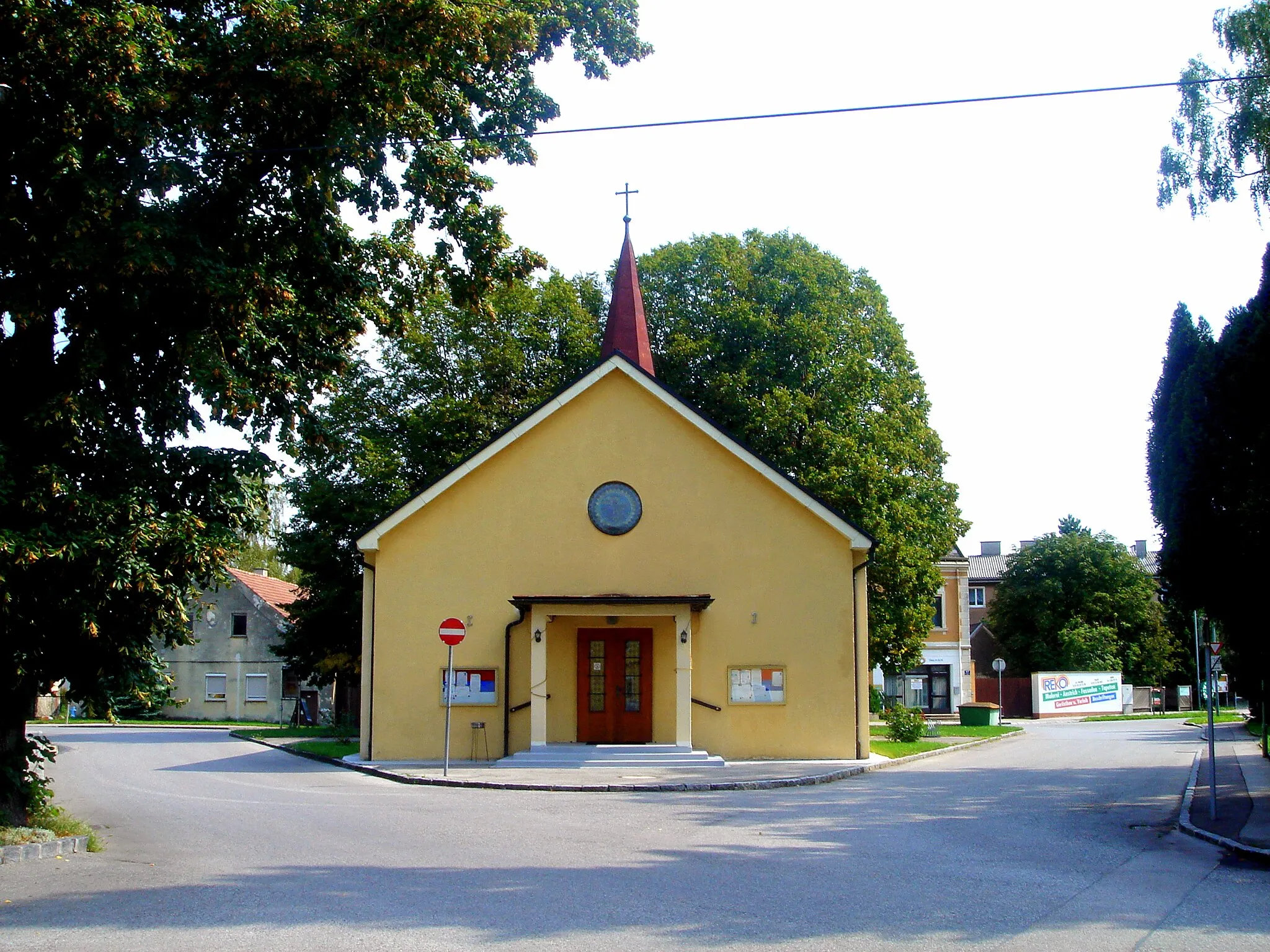
LoitzendorfWioseczkaLoitzendorf to urocza wieś otoczona piękną przyrodą
37 km
37 km
Hauseck821 mSzczytHauseck to miejsce znane z przepięknych widoków na okolicę
55 km
55 km
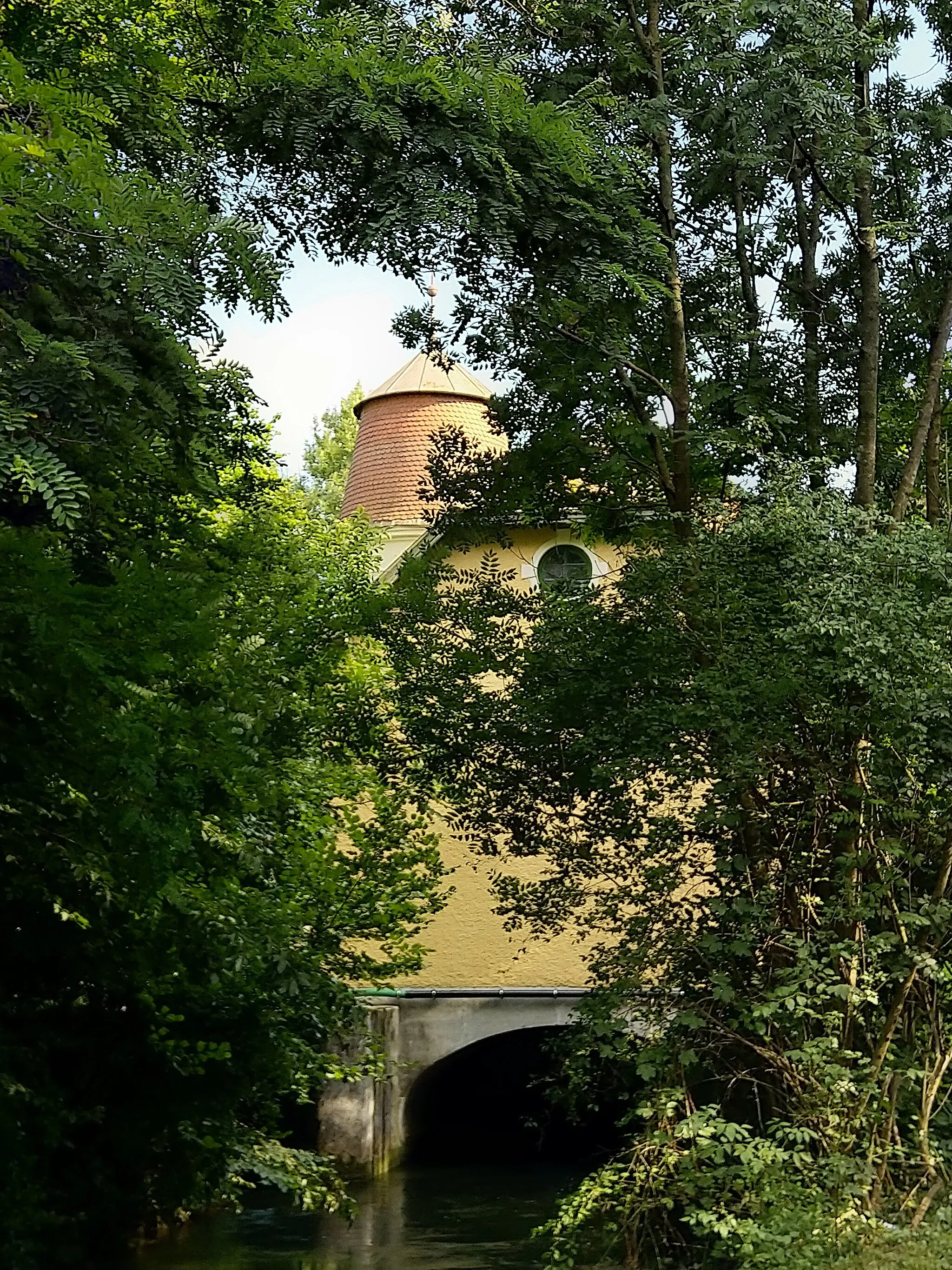
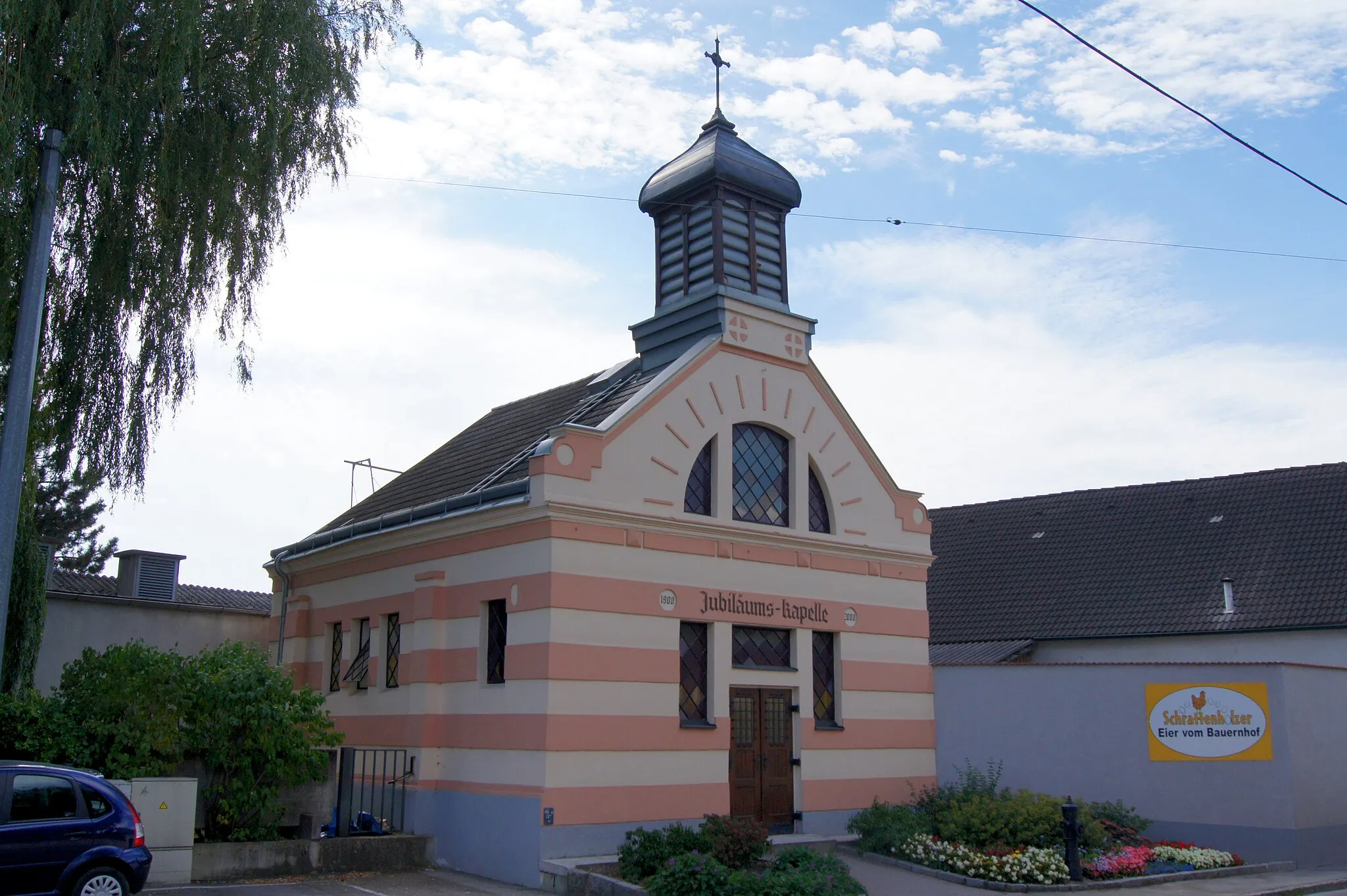
MelkMiastoMelk to historyczne miasto z imponującym zamkiem
59 km
59 km
Wachberg307 mSzczytWachberg to malownicze wzgórze, z którego roztacza się piękny widok na okolicę
68 km
68 km
Türnauer Höhe279 mSzczytTürnauer Höhe to idealne miejsce na krótki wypoczynek i obserwację otaczającej przyrody
75 km
75 km
Ober-GrafendorfWioskaOber-Grafendorf to urokliwa miejscowość, gdzie warto zatrzymać się i odpocząć
75 km
75 km
Miejsce docelowe: Ober-Grafendorf Village centerOber-Grafendorf: Tranquil cycling in the Austrian countryside.
Trasy rowerowe z Ober-Grafendorf:
Trasa do Katzelhofer Höhe Poznać Loitzendorf i Melk Trasa do Mautern an der Donau Trasa rowerowa gravel w okolicach Ober-Grafendorf Trasa dookoła Kammerhofu Krótka trasa gravelowa w pobliżu Ober-Grafendorf Trasa rowerowa przez Rohrbach i Traisen Wycieczka przez Völlerndorf i Stattersdorf Rowery w Rabenstein i Sierninger Berg Trasa do Ritzersdorf
Trasy rowerowe w okolicy: