Trasa Gravelowa przez Kahlenberg
Trasa rowerowa o rodzaju gravel rozpoczynająca się w miejscowości Weidling
Zwiedź malownicze zakątki na trasie gravelowej o długości 46 km
Mapa
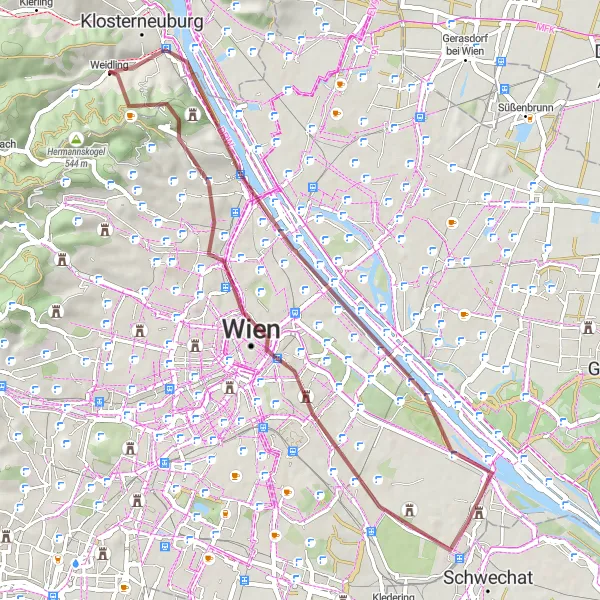
Trasa gravelowa poprowadzi Cię przez urokliwe miejsca, takie jak Brigittenau, Leberberg i Kahlenberg. Można oczekiwać przyjemnej jazdy i pięknych widoków podczas trasy.
gravel
46 km
536 m
Trudna
Profil trasy
Najważniejsze punkty na trasie
0 km
0 km
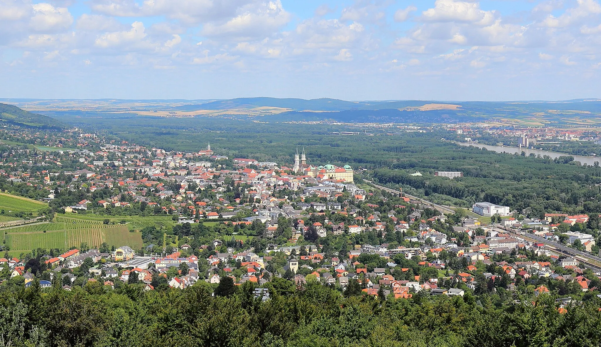
Start: Weidling Village centerWeidling: Przyjemna atmosfera dla rowerzystów wzdłuż brzegu rzeki.
Weidling to urokliwa lokalizacja nad Dunajem, idealna dla rowerzystów o różnych umiejętnościach. Można tu znaleźć zarówno spokojne trasy rowerowe, jak i wymagające podjazdy.9 km
9 km
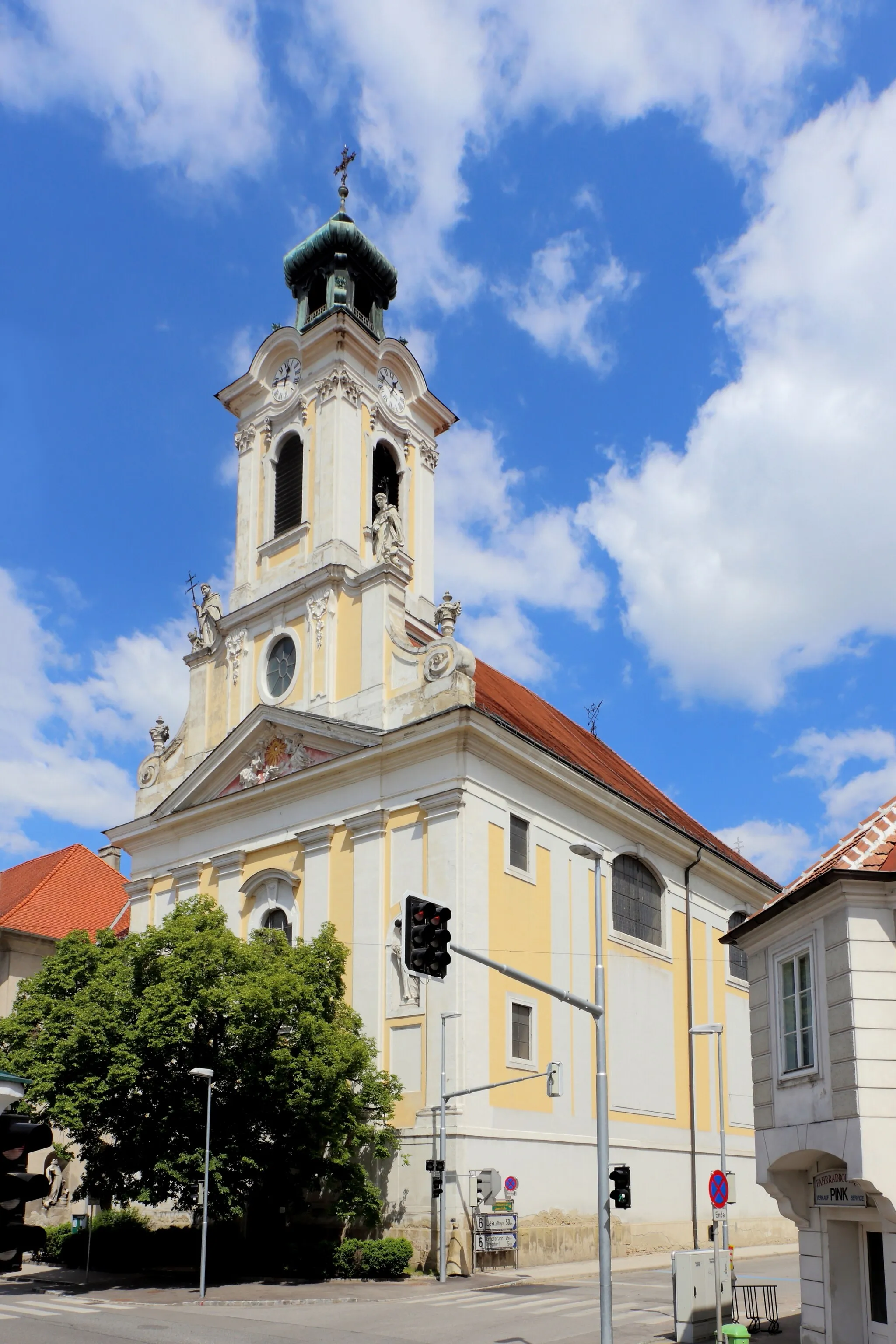
BrigittenauPrzedmieścieBrigittenau is a charming district in Vienna known for its green spaces and peaceful atmosphere. It offers a nice contrast to the urban hustle and bustle.
12 km
12 km
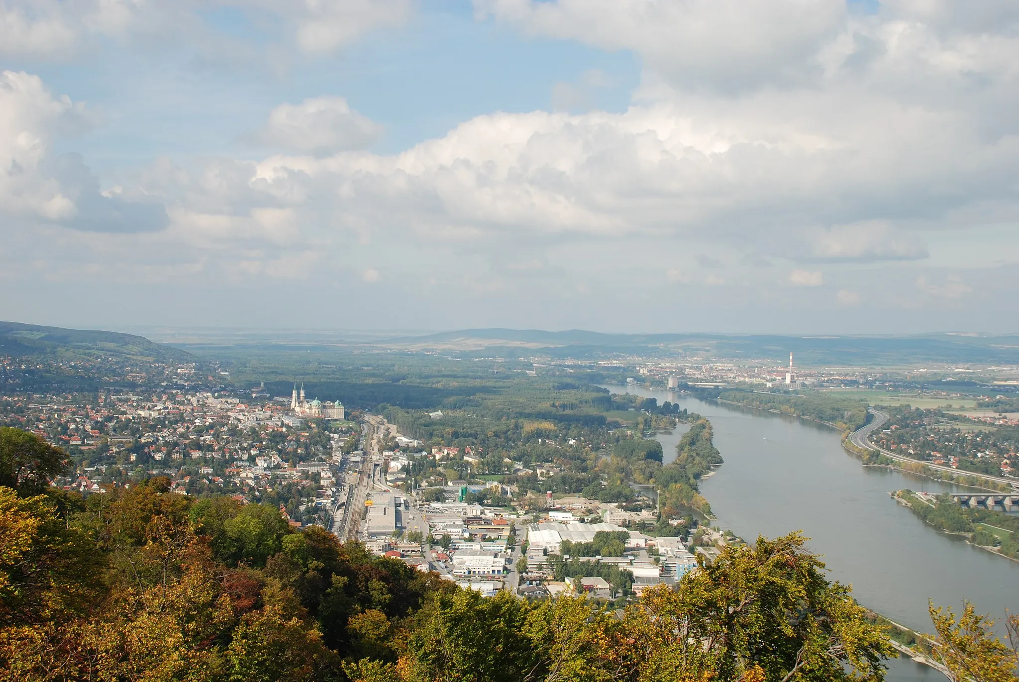
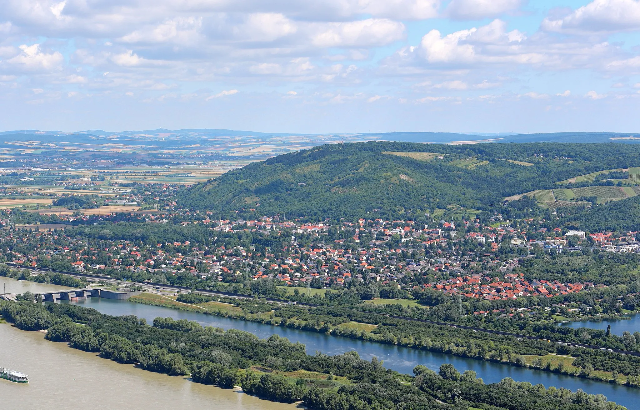
DonauJezioroDonau is the German name for the Danube River. It is one of the major rivers in Europe, flowing through multiple countries and offering stunning views for cyclists.
24 km
24 km
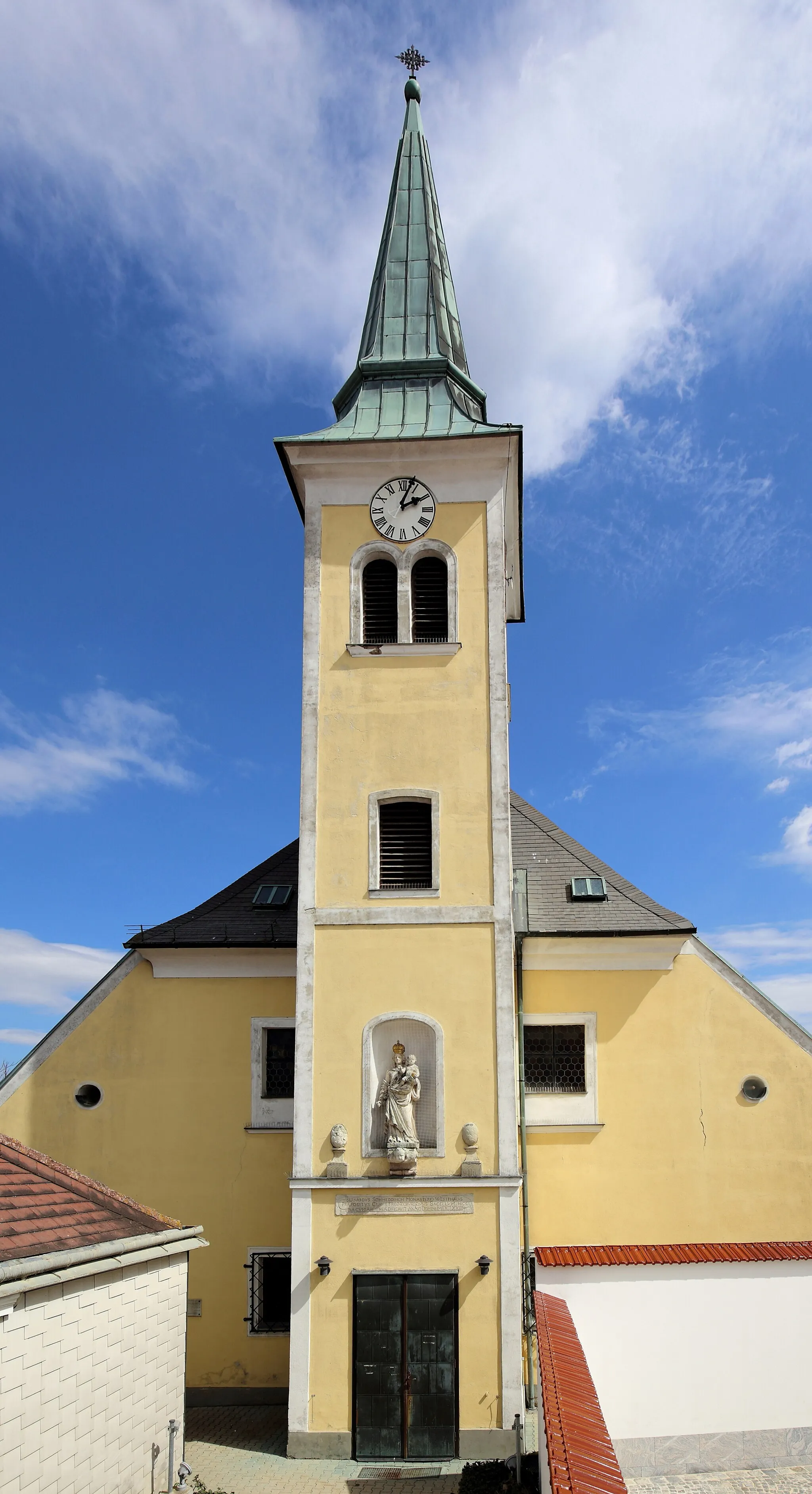
Leberberg175 mSzczytLeberberg is a scenic area with beautiful landscapes and charming villages. It is a great spot to enjoy nature and relax during the cycling route.
32 km
32 km
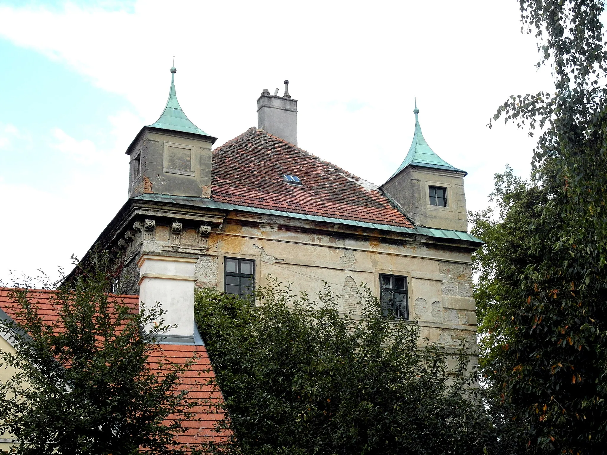
Haus WittgensteinAtrakcjaHaus Wittgenstein is a historic building with architectural significance. It adds a touch of cultural heritage to the cycling journey.
39 km
39 km
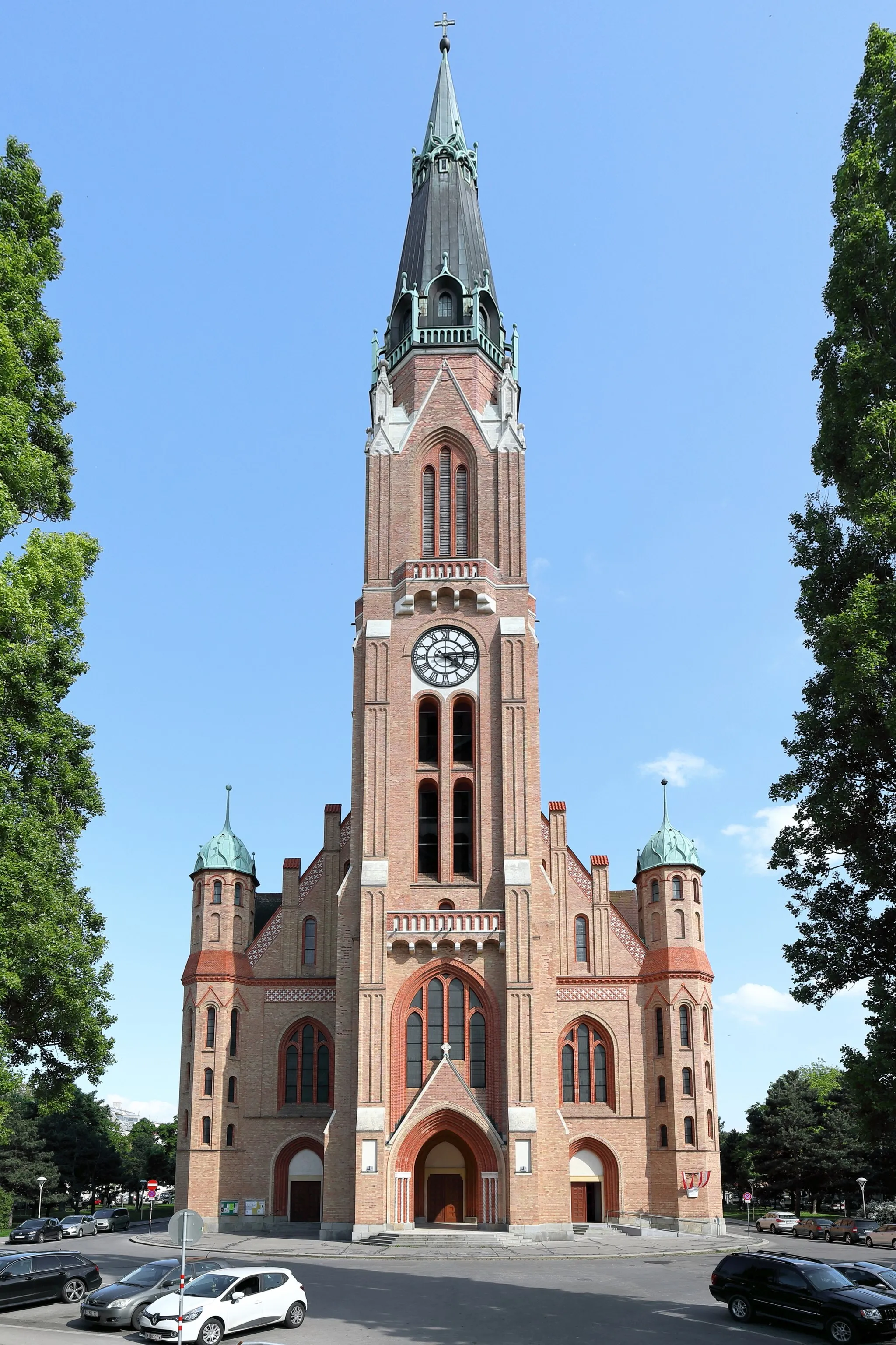
Karl-Marx-HofAtrakcjaKarl-Marx-Hof is a residential complex in Vienna known for its socialist architecture and historical significance. It is worth exploring during the gravel route.
43 km
43 km
Kahlenberg484 mSzczytKahlenberg is a popular destination for hikers and cyclists, offering stunning views of Vienna and the surrounding area. It is a great spot to take a break and enjoy the scenery.
46 km
46 km
Miejsce docelowe: Weidling Village centerWeidling: Przyjemna atmosfera dla rowerzystów wzdłuż brzegu rzeki.
Trasy rowerowe z Weidling:
Trasa Gravelowa z Weidling do Klosterneuburga Trasa Szosowa do Leopoldsberg Trasa Gravelowa ze Startem w Weidling Trasa Szosowa z Weidling przez Großebersdorf Trasa Szosowa do Leopoldsberg Trasa Gravelowa przez Kahlenberg Trasa Szosowa do Weidling Trasa Gravelowa z Weidling do Hermannskogel Pętla Rowerowa ze Startem w Weidling Trasa Gravelowa Kahlenberg Trasa Gravel z Weidling – 57 km Trasa Road z Weidling – 89 km
Trasy rowerowe w okolicy: