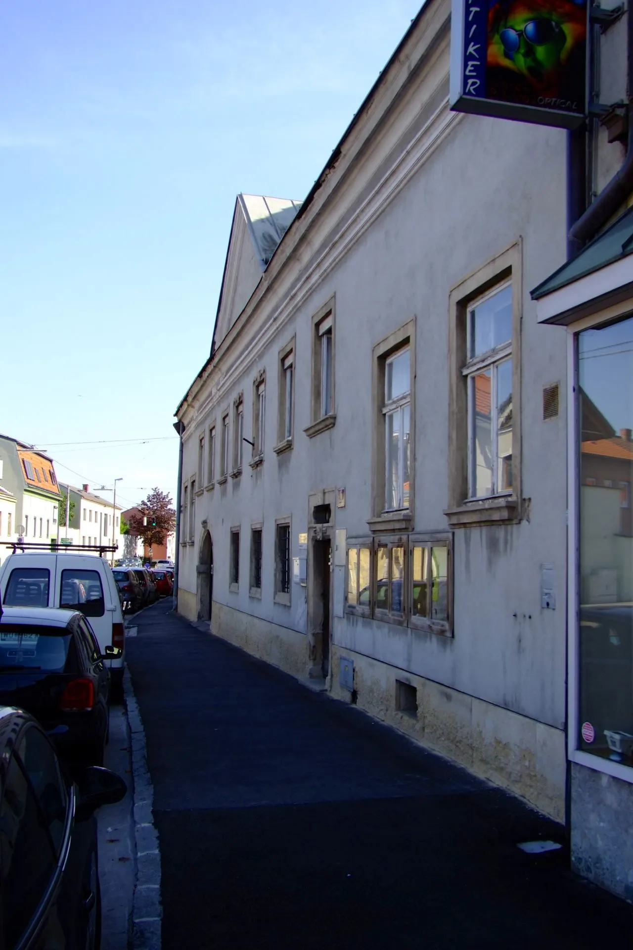
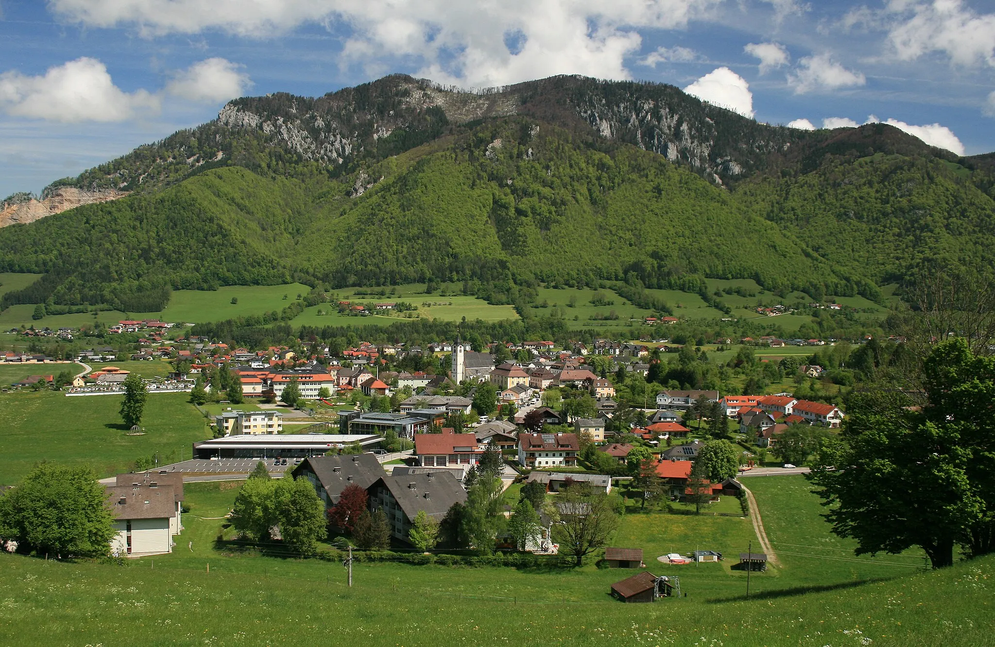
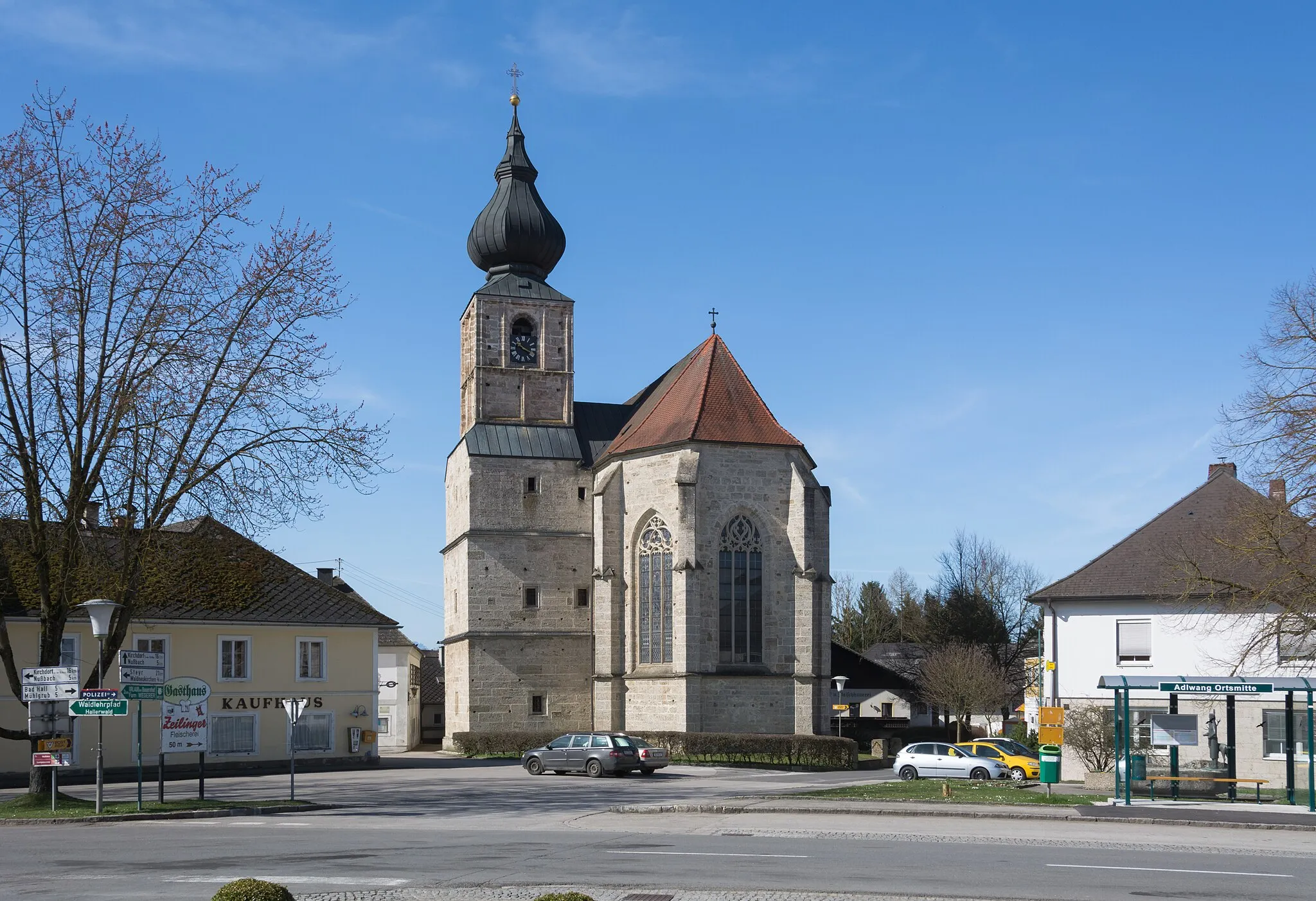
Mało atrakcji rowerowych w Leonstein.
Trasy rowerowe wokół Leonstein
Leonstein to mała miejscowość, która nie oferuje dużo atrakcji dla rowerzystów. Brak znanych podjazdów czy tras MTB sprawia, że może być mniej interesująca dla entuzjastów aktywnego wypoczynku na rowerze.
Wspaniała przygoda poza asfaltem
Ta 90-kilometrowa trasa gravelowa z 3176 metrami przewyższenia oferuje ekscytujące wyzwanie dla doświadczonych rowerzystów. Przejeżdżając przez malownicze tereny Oberösterreich, można podziwiać urokliwe miasteczka i imponujące szczyty górskie. To doskonała okazja do poznania lokalnej kultury i historii.
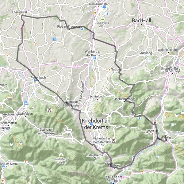
Scenic road route around the charming Traunsee lake
The Traunsee Loop offers cyclists a delightful journey around the serene waters of the Traunsee lake. Pass through idyllic villages such as Kessing and Micheldorf in Oberösterreich, and enjoy the peaceful atmosphere of Pettenbach. The route includes a moderate ascent and showcases the natural beauty of the region, making it a perfect choice for a leisurely cycling adventure.
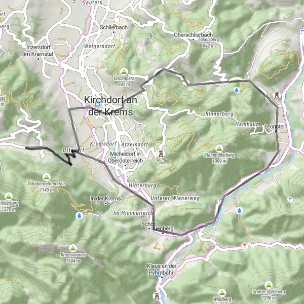
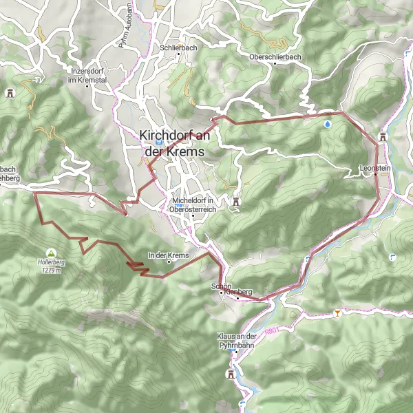
Odkryj urokliwe szlaki w okolicach Leonstein
Za nami 75 km wyzwania na szutrowych drogach, podczas których pokonaliśmy 1692 m przewyższenia. Ciekawe punkty na trasie to miasteczko Micheldorf in Oberösterreich oraz zamek Schloss Leonstein. Trasa oferuje niezapomniane widoki i wiele miejsc do odkrycia.
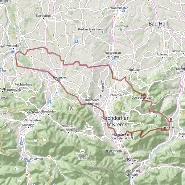
Scenic road tour with a visit to Burgruine Leonstein
Experience the beauty of Upper Austria on the Leonstein Castle Ride, a charming road tour that includes a visit to the historic Burgruine Leonstein. Cycle through quaint villages like Kessing and Micheldorf in Oberösterreich, and enjoy the peaceful ambiance of Kirchdorf an der Krems. The route offers a moderate ascent up to the Sonnkogel, providing stunning views of the countryside. Conclude your journey with a visit to the impressive Burgruine Leonstein and immerse yourself in the region's rich history and architectural heritage.
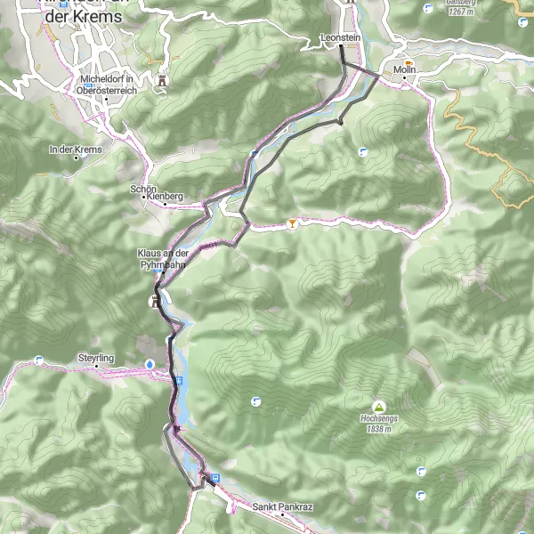
Poznaj uroki krajobrazu szosami z Klaus an der Pyhrnbahn do Leonstein, odkrywając piękne miejsca po drodze
Trasa szosowa zapewnia nieco lżejsze wyzwanie niż trasa gravelowa, prowadząc przez malownicze zakątki. Po drodze warto zwrócić uwagę na Kienberg i Falkenstein oraz odwiedzić urokliwe Schloss Klaus. W Leonstein warto zakończyć trasę i odpocząć po rowerowym wysiłku.
Przygoda gravelowa wśród dzikiej przyrody i historycznych miejsc
Ta 45-kilometrowa trasa zachwyca pięknymi widokami i urokliwymi miasteczkami, takimi jak Frauenstein Abzw Ort. Odkryj Schabenreitnerstein i Sonnkogel, aby zatrzymać się i poczuć ducha tej magicznej okolicy.
Via Pyhrn Cycle Tour
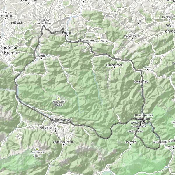
Fascinating road tour with numerous picturesque villages along the way
The Via Pyhrn Cycle Tour showcases the beauty of Upper Austria with its charming villages such as Steinbach an der Steyr, Losenstein, and Großraming. The route offers stunning views and a challenging ascent up to Falkenstein. Pass by historical sites like the Leonstein Bäckerstraße and enjoy the natural landscapes of Rosenau am Hengstpaß and Wurbauerkogel.

Trasa gravelowa pełna dzikich widoków i niespodzianek
Ta 82-kilometrowa trasa zapewnia doskonałe tereny do pokonywania podjazdów, z punktem kulminacyjnym na Kremsmauer. Po drodze czekają na Ciebie urokliwe miasteczka jak Grünau im Almtal i malownicze krajobrazy przy Hirschwaldstein.
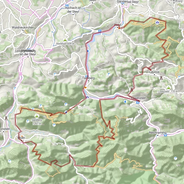
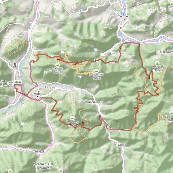
Wyprawa Gaisberg - Leonstein
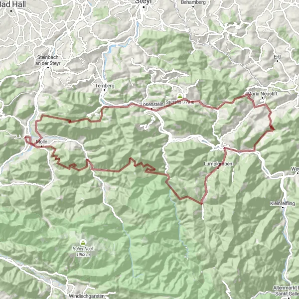
Ekstremalna trasa gravelowa pełna wyzwań i niespodzianek
Trasa o długości 105 km wiedzie przez wymagające tereny z punktem kulminacyjnym na Großraming. W trakcie podróży odwiedź Losenstein i Maria Neustift, a na końcu usiądź pod hollerkogel i ciesz się zakończeniem trasy.
Malownicza trasa z punktem kulminacyjnym na Gaisberg, oferująca imponujące widoki i wyzwanie dla rowerzystów szosowych
Trasa gravelowa prowadzi przez urocze miejsca, aż do imponującej kulminacji na Gaisberg, oferującej piękne widoki. Podczas jazdy można zobaczyć największy na świecie tłuczek do młotków w Größter Taschenfeitel der Welt i piękną górę Hohe Dirn. Schronienie można znaleźć w Annasbergu i zakończyć przyjemnie trasę w Molln.
Trasy rowerowe w okolicy:


Sąsiednie regiony: