Via Pyhrn Cycle Tour
Trasa rowerowa o rodzaju road rozpoczynająca się w miejscowości Leonstein
Fascinating road tour with numerous picturesque villages along the way
Mapa
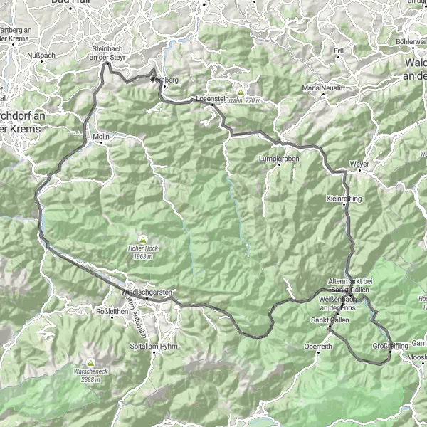
The Via Pyhrn Cycle Tour showcases the beauty of Upper Austria with its charming villages such as Steinbach an der Steyr, Losenstein, and Großraming. The route offers stunning views and a challenging ascent up to Falkenstein. Pass by historical sites like the Leonstein Bäckerstraße and enjoy the natural landscapes of Rosenau am Hengstpaß and Wurbauerkogel.
road
157 km
3232 m
Trudna
Profil trasy
Najważniejsze punkty na trasie
0 km
0 km
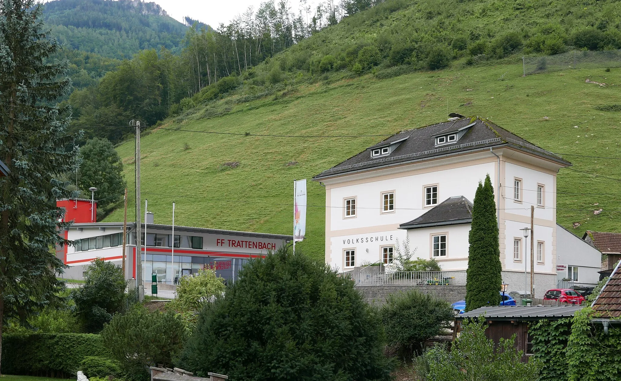
Start: Leonstein Village centerLeonstein: Mało atrakcji rowerowych w Leonstein.
Leonstein to mała miejscowość, która nie oferuje dużo atrakcji dla rowerzystów. Brak znanych podjazdów czy tras MTB sprawia, że może być mniej interesująca dla entuzjastów aktywnego wypoczynku na rowerze.10 km
10 km
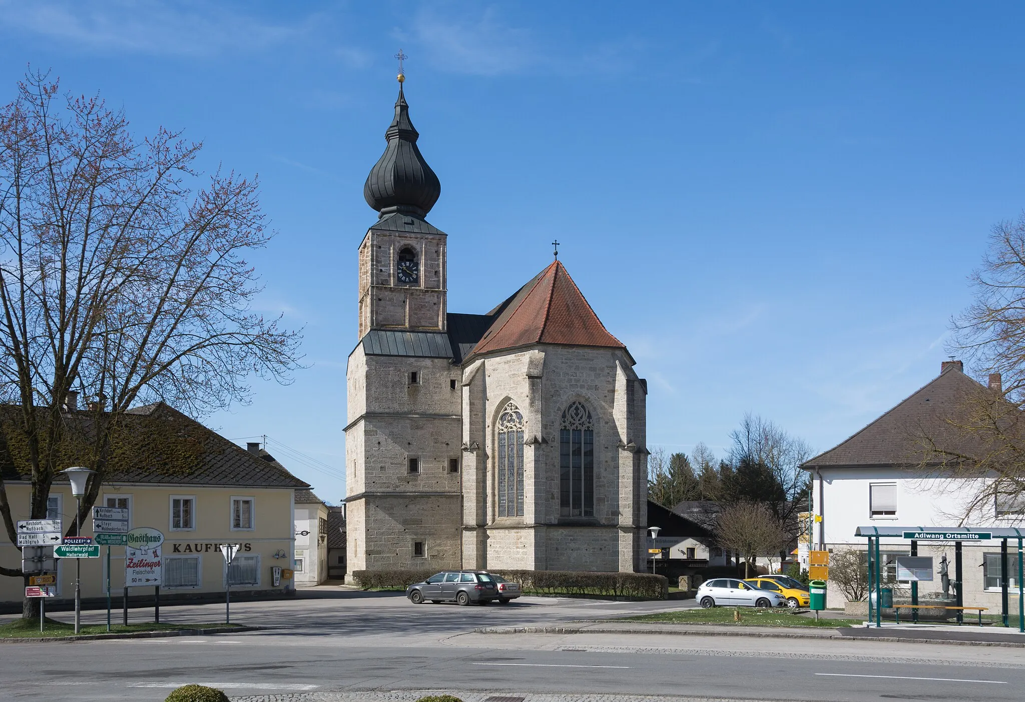
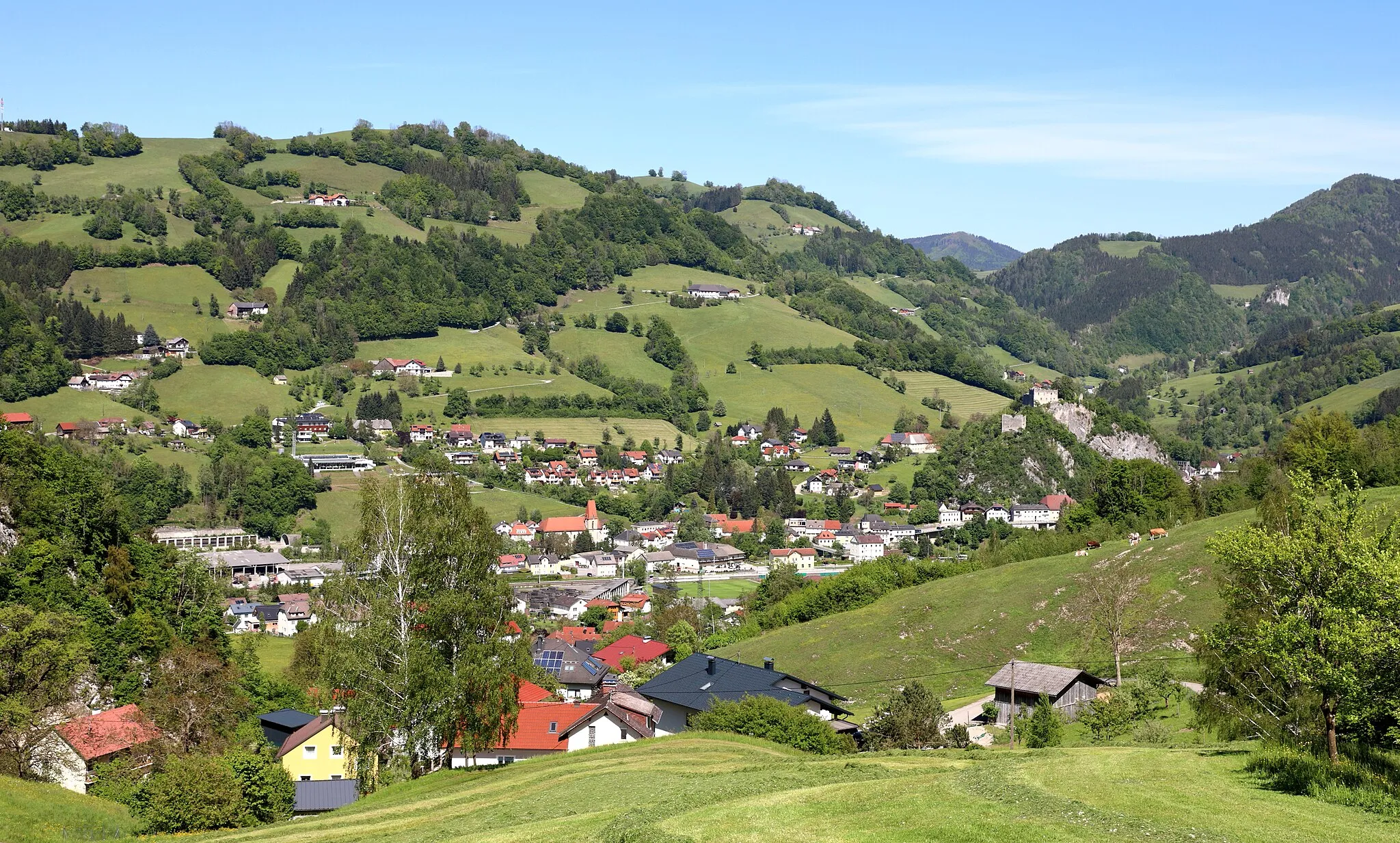
Steinbach an der SteyrWioskaSteinbach an der Steyr is a quaint village known for its traditional architecture
15 km
15 km
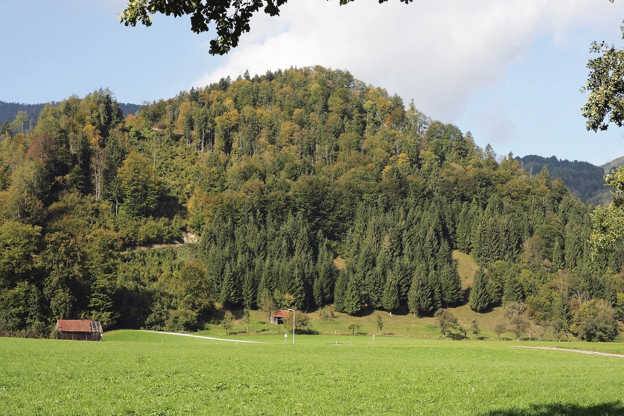
Kaiblinger Kogel752 mSzczytKaiblinger Kogel offers breathtaking panoramic views of the surrounding hills
30 km
30 km
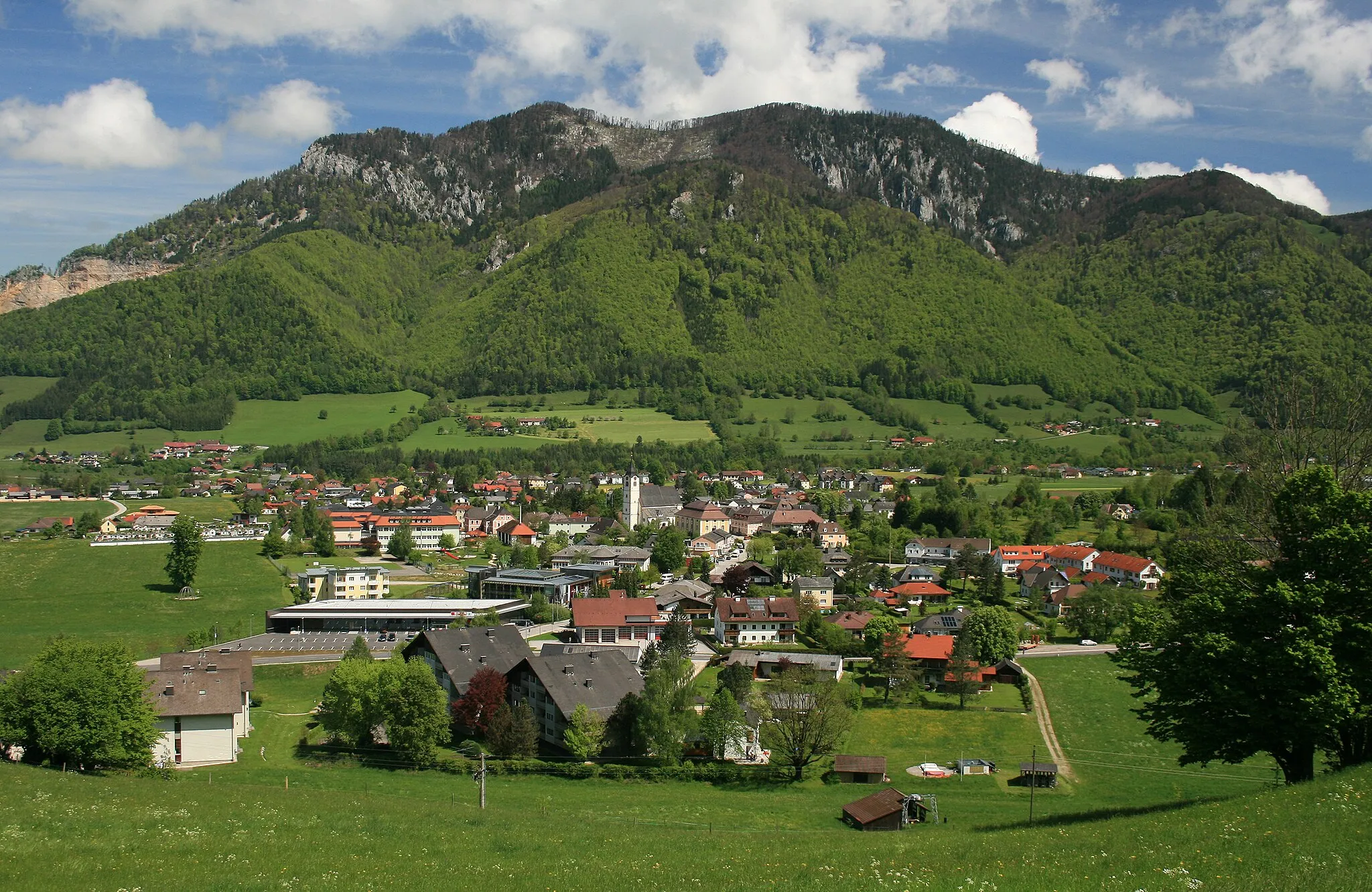
LosensteinWioskaLosenstein is a charming town with historical landmarks and cozy cafes
33 km
33 km
Kronstein758 mSzczytKronstein is a peaceful spot perfect for a rest during the cycling tour
43 km
43 km
GroßramingWioskaGroßraming is a picturesque village with colorful houses and a relaxing atmosphere
56 km
56 km
Schauersberg768 mSzczytSchauersberg provides a scenic overlook point with views of the valleys below. Enjoy a peaceful break here before continuing on your journey
67 km
67 km
Altenmarkt bei Sankt GallenWioskaAltenmarkt bei Sankt Gallen is a lovely village with a rich history and welcoming locals
71 km
71 km
Weinberg860 mSzczytWeinberg is a popular spot for wine lovers, known for its vineyards and charming wine bars
84 km
84 km
Erbsattel671 mPrzełęcz górskaErbsattel is a tranquil hillside area perfect for a relaxing break during your cycling journey
91 km
91 km
Weißenbach an der EnnsWioskaWeißenbach an der Enns is a picturesque village surrounded by lush greenery and rolling hills
104 km
104 km
Pfarrmauer1052 mSzczytPfarrmauer is a historic site with ancient ruins and a serene atmosphere
120 km
120 km
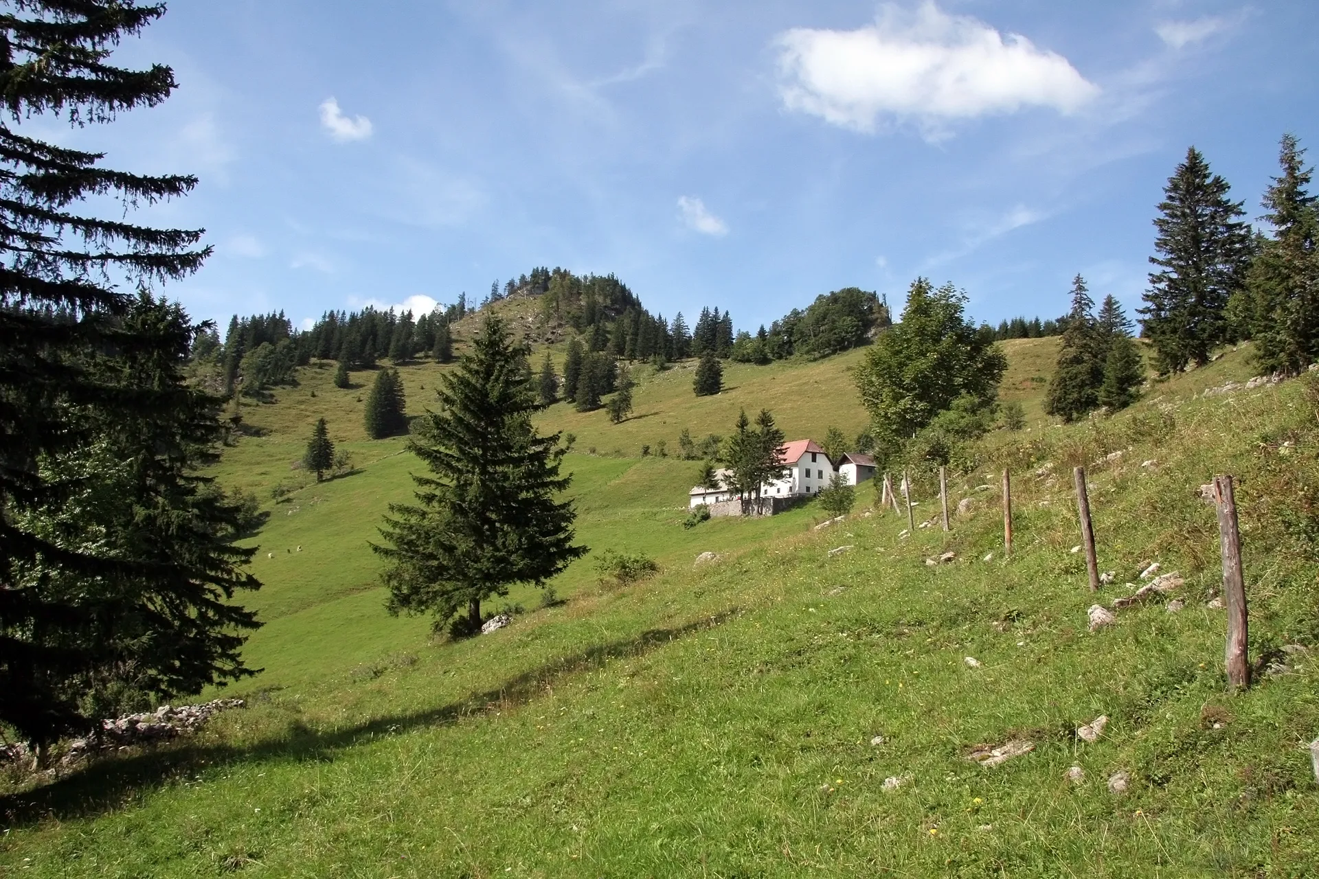
Rosenau am HengstpaßWioskaRosenau am Hengstpaß offers stunning mountain views and fresh Alpine air
125 km
125 km
Wurbauerkogel858 mWidokWurbauerkogel is a popular spot for hikers and cyclists, featuring scenic trails and panoramic vistas
140 km
140 km
Falkenstein737 mSzczytFalkenstein is a charming village with a medieval castle and sweeping views of the surrounding countryside
147 km
147 km
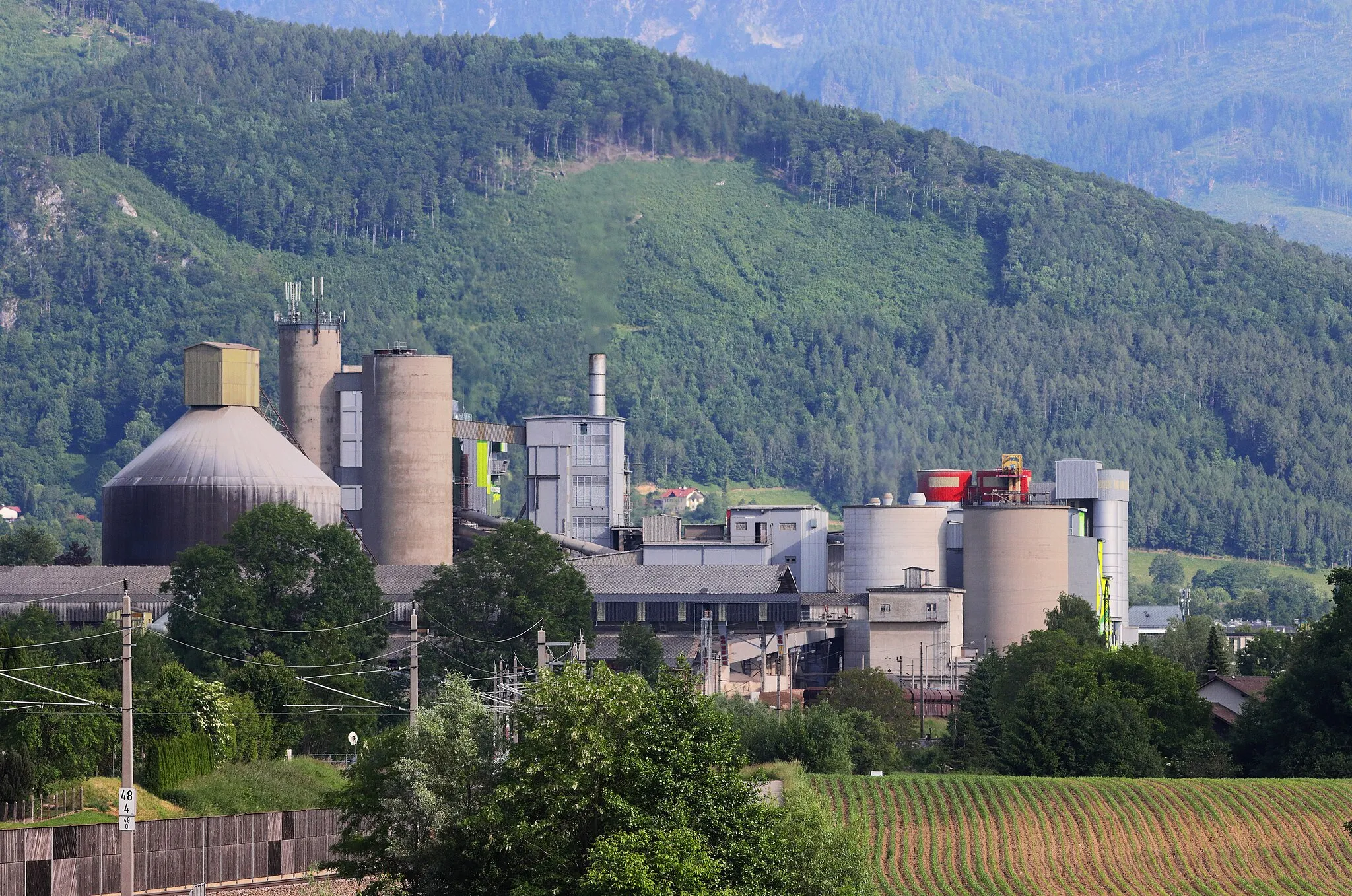
Klaus an der PyhrnbahnWioskaKlaus an der Pyhrnbahn is a tranquil town with traditional Austrian architecture and cozy cafes
156 km
156 km
Leonstein BäckerstraßeWiataLeonstein Bäckerstraße is a historic street with well-preserved buildings and a quaint atmosphere
157 km
157 km
Riedberg641 mSzczytRiedberg is a picturesque hillside village with stunning views of the valley below
157 km
157 km
Miejsce docelowe: Leonstein Village centerLeonstein: Mało atrakcji rowerowych w Leonstein.
Trasy rowerowe z Leonstein:
Trasa Kienberg - Sonnkogel Pętla Kienberg - Leonstein Talerberg Trasa Gravelowa Pod Wzgórze Hirschwaldstein Wyprawa Gaisberg - Leonstein Traunsee Loop Trasa Molln - Rinnende Mauer Eksploracja Riedberg - Burgruine Leonstein Trasa Gravel: Leonstein Loop Leonstein Castle Ride Via Pyhrn Cycle Tour Trasa Górska Gaisberg do Leonstein Trasa Szosowa Klaus an der Pyhrnbahn do Leonstein
Trasy rowerowe w okolicy: