Trasa Road do Horní Olešnice
Trasa rowerowa o rodzaju road rozpoczynająca się w miejscowości Horni Branna
Stunning road route full of scenic views and charming villages
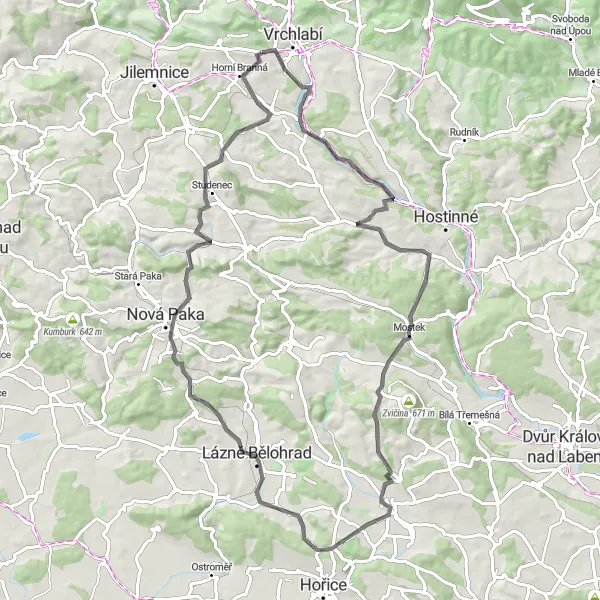
Mapa
Ride through picturesque landscapes and experience the rich history and culture of the region. This challenging route will take you on a journey through winding roads and historic landmarks of Krkonoše.
road
77 km
1047 m
Trudna
Profil trasy
Najważniejsze punkty na trasie
0 km
0 km
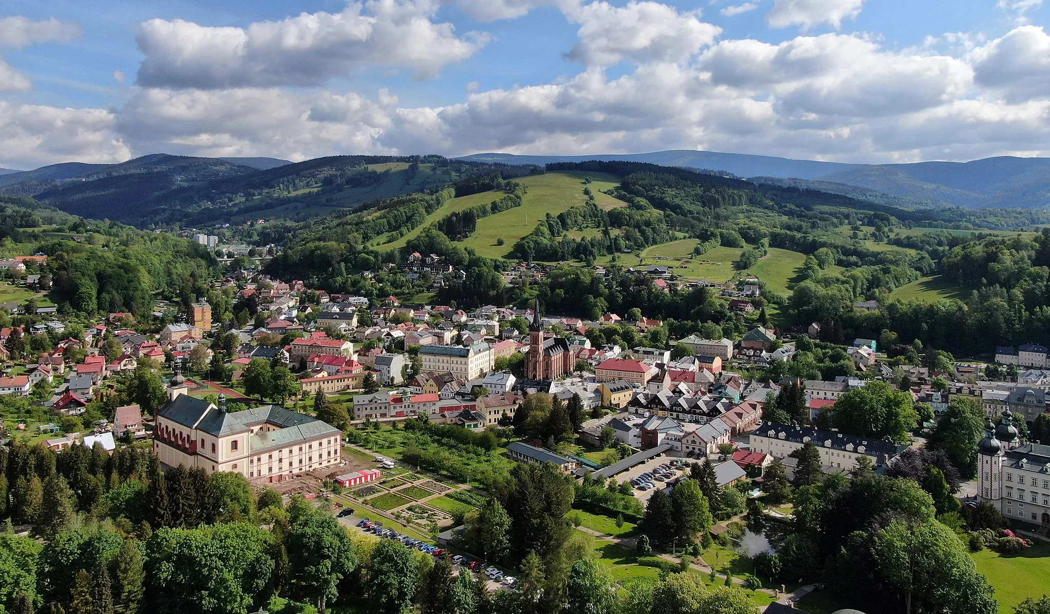
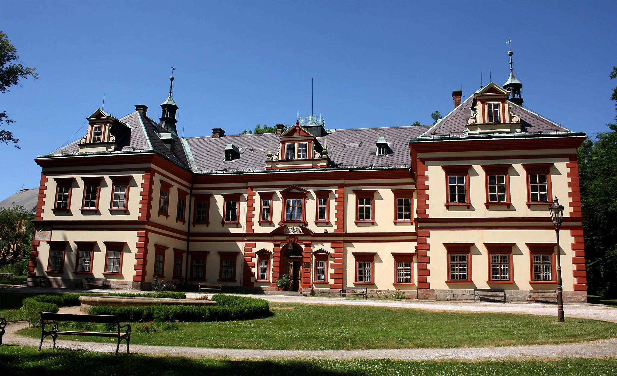
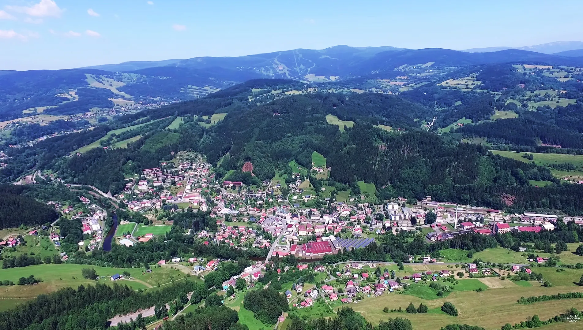
Start: Vejsplachy Village centerHorní Branná: Horní Branná - idealna lokalizacja dla miłośników jazdy na rowerze.
Horní Branná to urocza lokalizacja w regionie Severovýchod w Czechach, idealna dla miłośników jazdy na rowerze po szutrowych drogach. Znajduje się tu wiele interesujących tras rowerowych, które przyciągają zarówno początkujących, jak i doświadczonych cyklistów. Odkryj uroki tej okolicy podczas aktywnego wypoczynku na dwóch kółkach.5 km
5 km
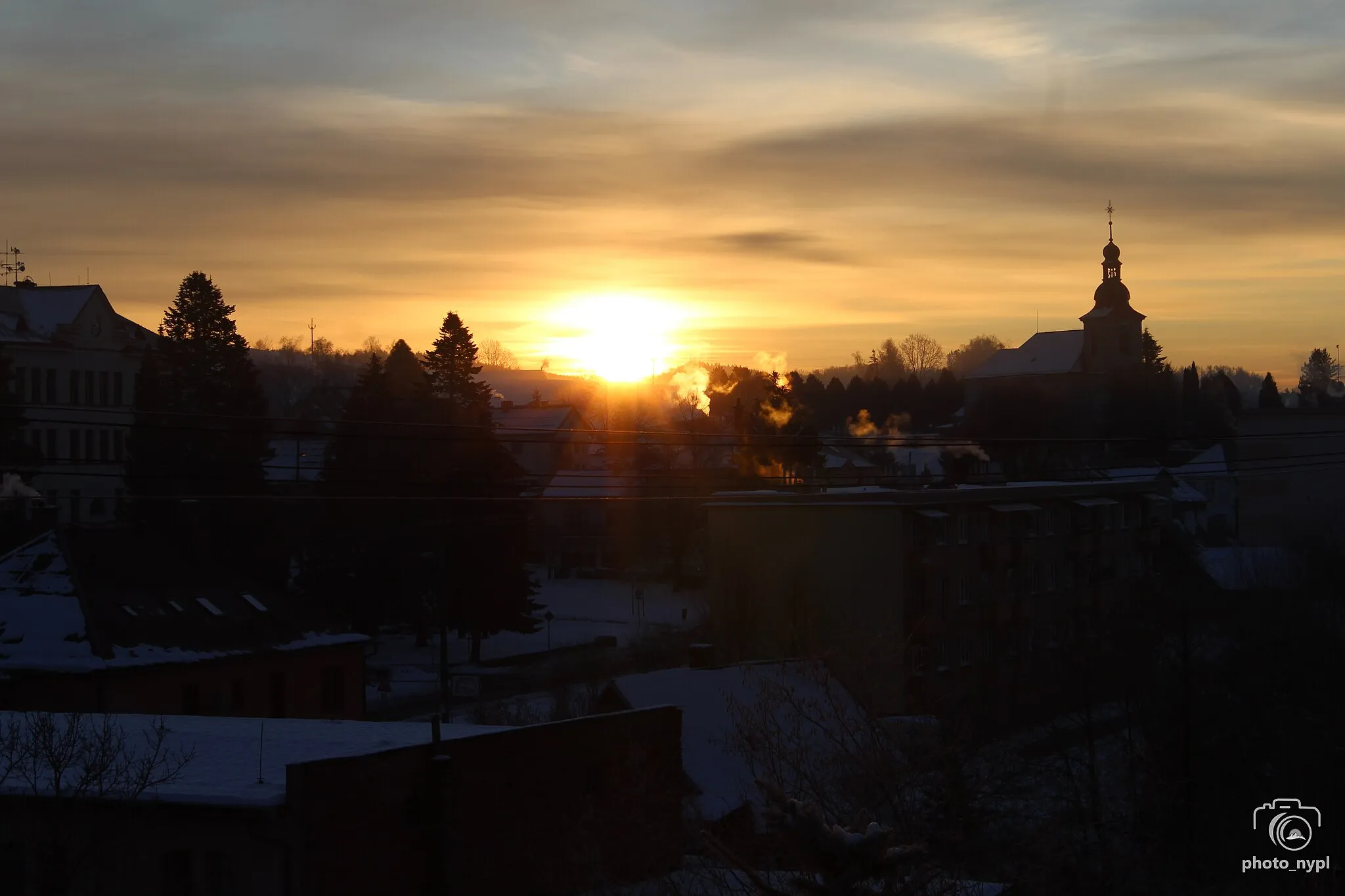
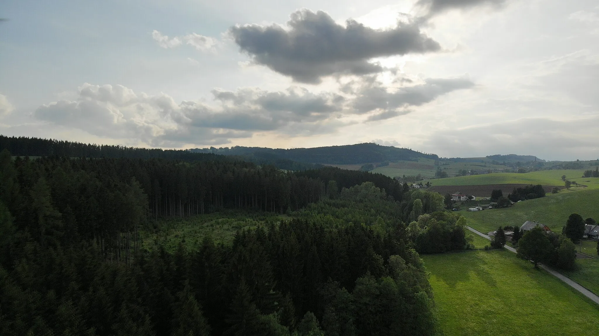
Hůrka494 mSzczytHůrka to picturesque village known for its amazing panoramic view points over the surrounding mountains.
17 km
17 km
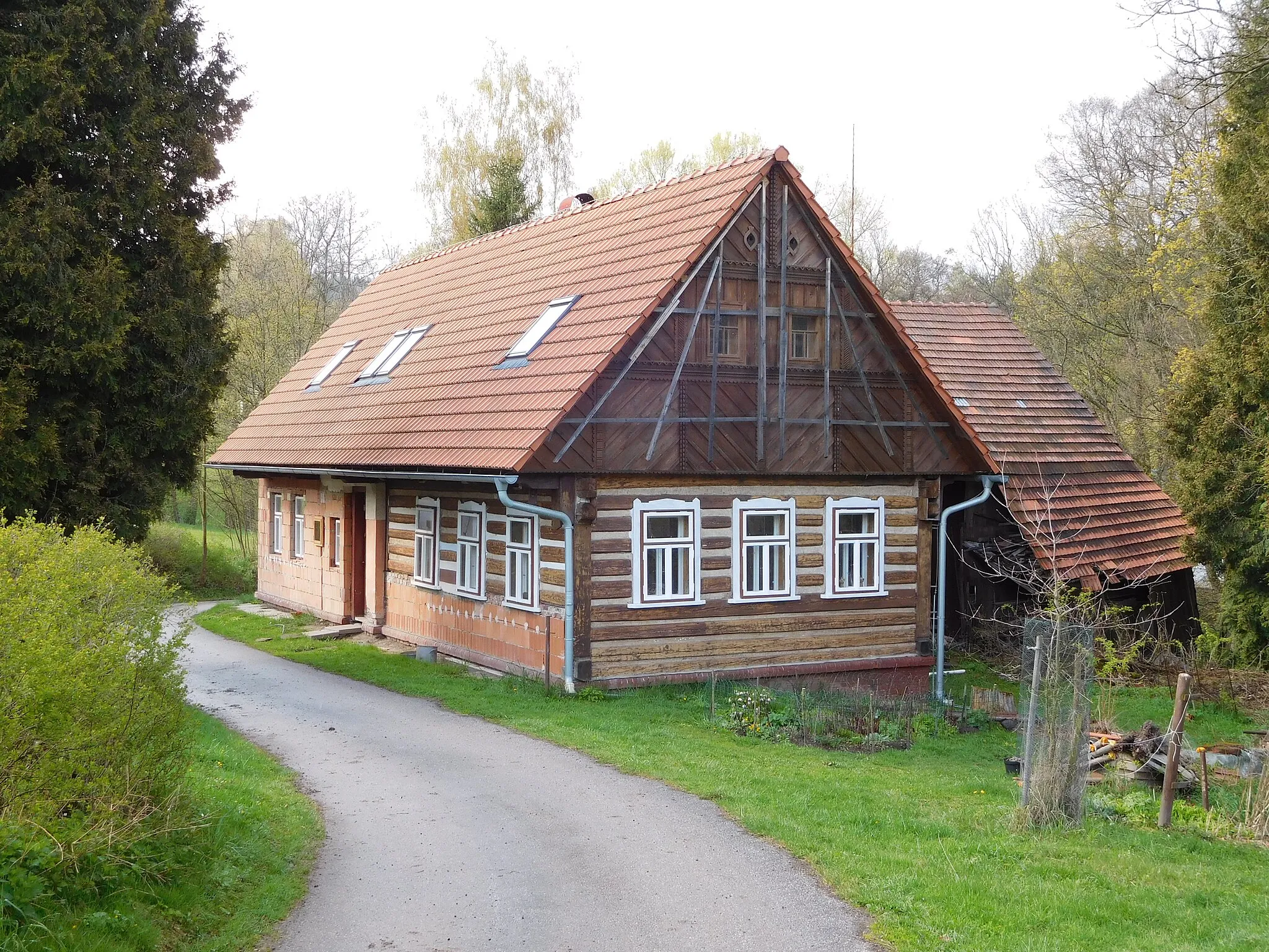
Horní OlešniceWioskaHorní Olešnice is a hidden gem with its quaint village charm and beautiful architecture.
24 km
24 km
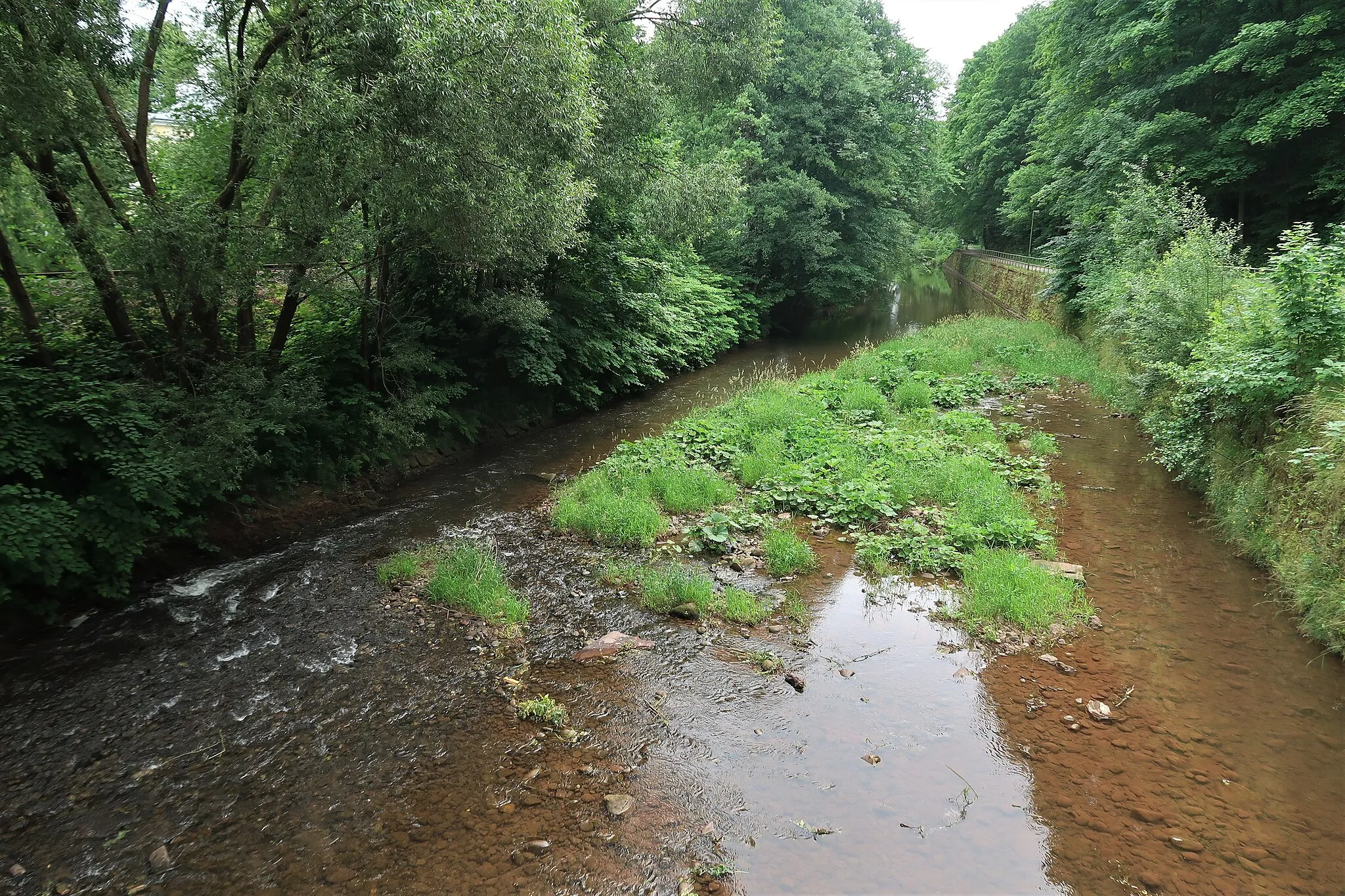
MostekWioskaMostek offers a unique blend of natural beauty and historical landmarks waiting to be explored.
42 km
42 km
Krušina376 mSzczytKrušina is a small village with a big heart, welcoming cyclists with open arms.
50 km
50 km
LányWioskaLány is a cycling paradise with its smooth roads and stunning vistas of the countryside.
62 km
62 km
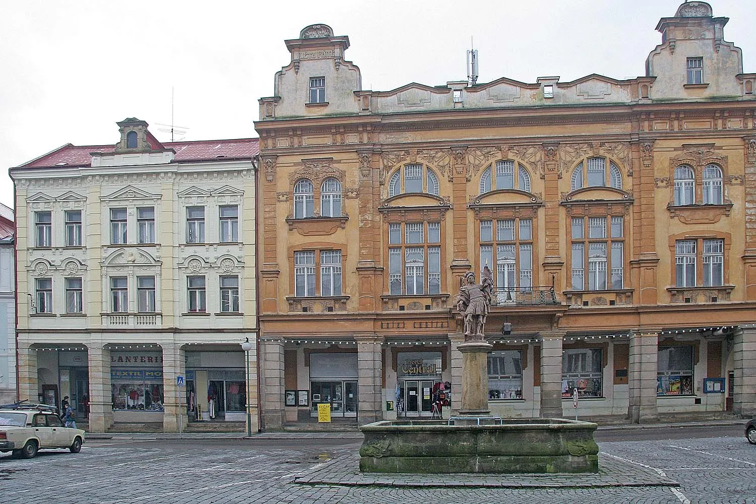
Levínská OlešniceWioskaLevínská Olešnice is a peaceful oasis in the middle of nature, perfect for rest and relaxation.
68 km
68 km
Stráž630 mSzczytStráž beckons cyclists with its charming streets and friendly locals, eager to share their stories.
75 km
75 km
Principálek532 mSzczytPrincipálek is a must-see landmark, offering breathtaking views of the region and a sense of accomplishment.
77 km
77 km
Miejsce docelowe: Vejsplachy Village centerHorní Branná: Horní Branná - idealna lokalizacja dla miłośników jazdy na rowerze.
Trasy rowerowe z Horni Branna:
Trasa Road do Horní Olešnice Trasa Gravel do Dolní Branná Trasa Road do Harrachovský špitál Przejażdżka Szlakiem Wiejskich Działek Wycieczka Po Górskich Szlakach Trasa Road do Zuzanek Szlakiem Zabytków i Przyrody Trasa Gravel do Kunčice nad Labem Trasa Szlakiem Kryształowego Górnictwa Trasa Przez Urokliwe Wioski i Górskie Szlaki
Trasy rowerowe w okolicy: