Wyprawa rowerowa z Monte Armetta
Trasa rowerowa o rodzaju road rozpoczynająca się w miejscowości Aspremont
Wydajna i egzotyczna trasa w ogromne doliny Pò
Mapa

Długa podróż przez malownicze tereny, z licznymi punktami widokowymi i atrakcjami. Różnorodność krajobrazów i kulturalne bogactwo regionu sprawiają, że ta trasa jest niezwykle ciekawa i atrakcyjna.
road
201 km
6173 m
Wyrypa
Profil trasy
Najważniejsze punkty na trasie
0 km
0 km
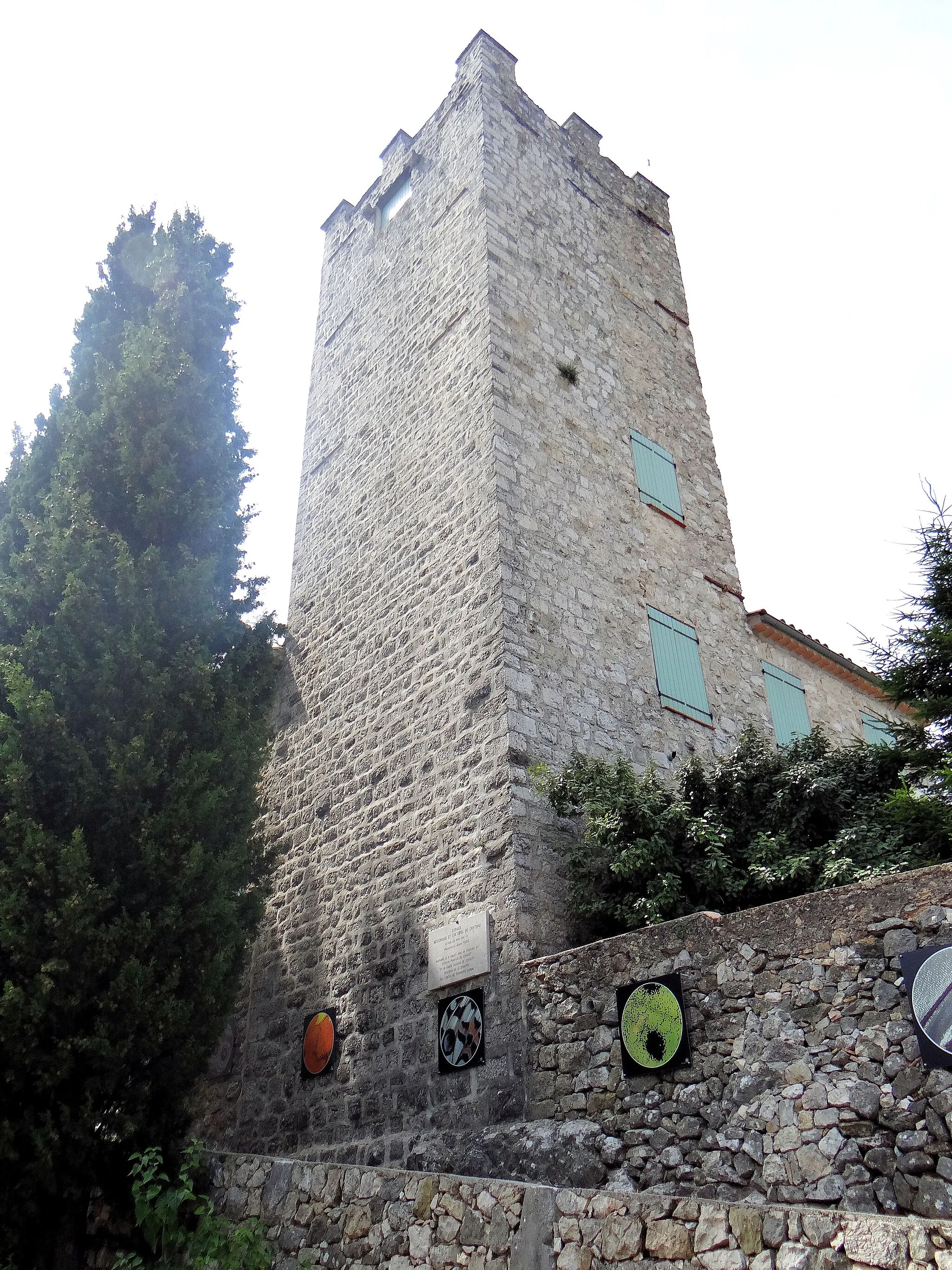
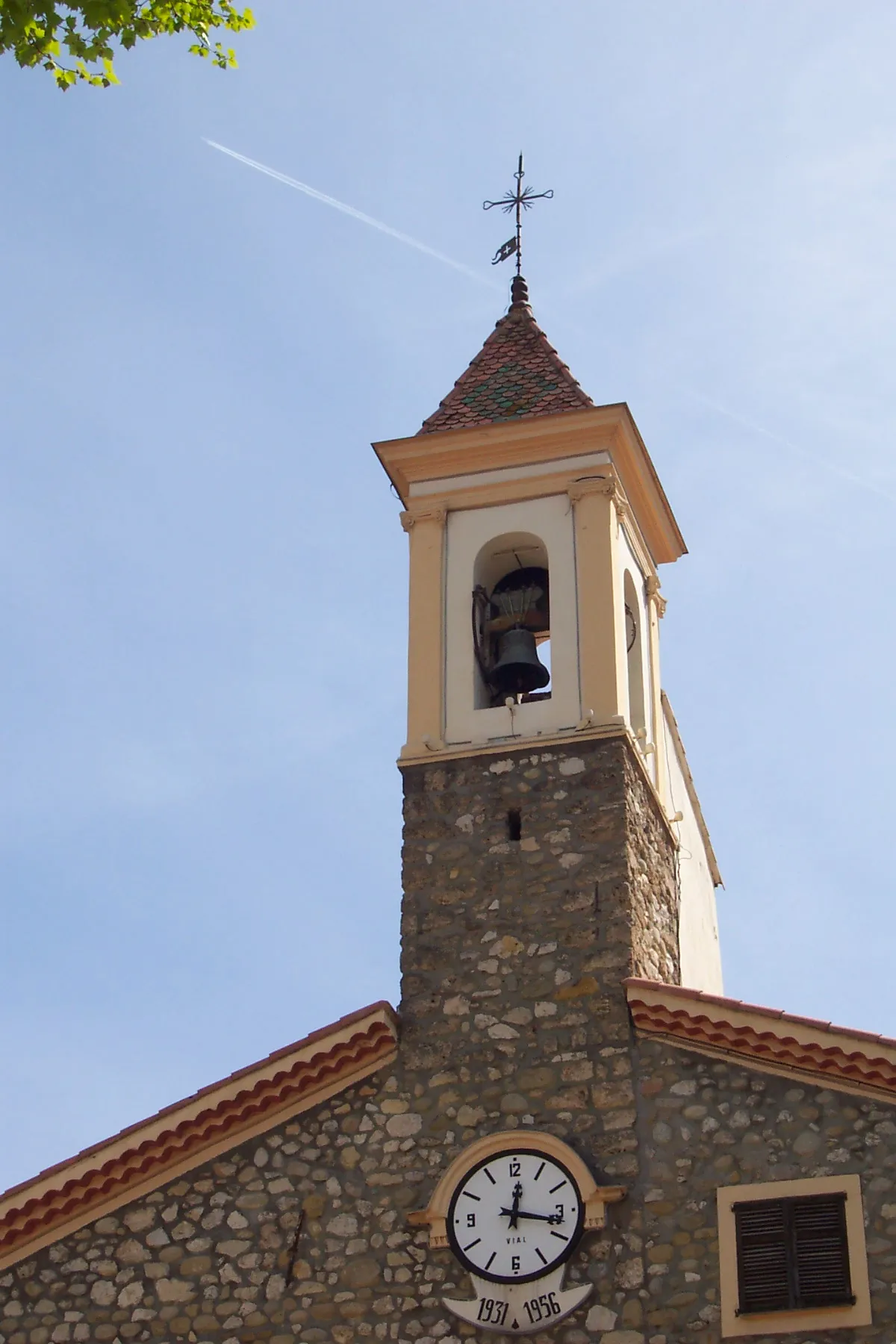
Start: Aspremont Village centerAspremont: Malownicze trasy wśród winnic i ogrodów oliwnych.
Aspremont to urocze miasteczko usytuowane na wzgórzach między Niceą a Cannes we Francji. Dla gravelowców oferuje malownicze trasy wśród winnic i ogrodów oliwnych. W okolicy znajduje się słynne wzniesienie Col d'Èze, które stanowi prawdziwe wyzwanie dla kondycyjnych rowerzystów.12 km
12 km
Col de Châteauneuf627 mPrzełęcz górskaChallenging mountain pass offering magnificent views at the top.
14 km
14 km
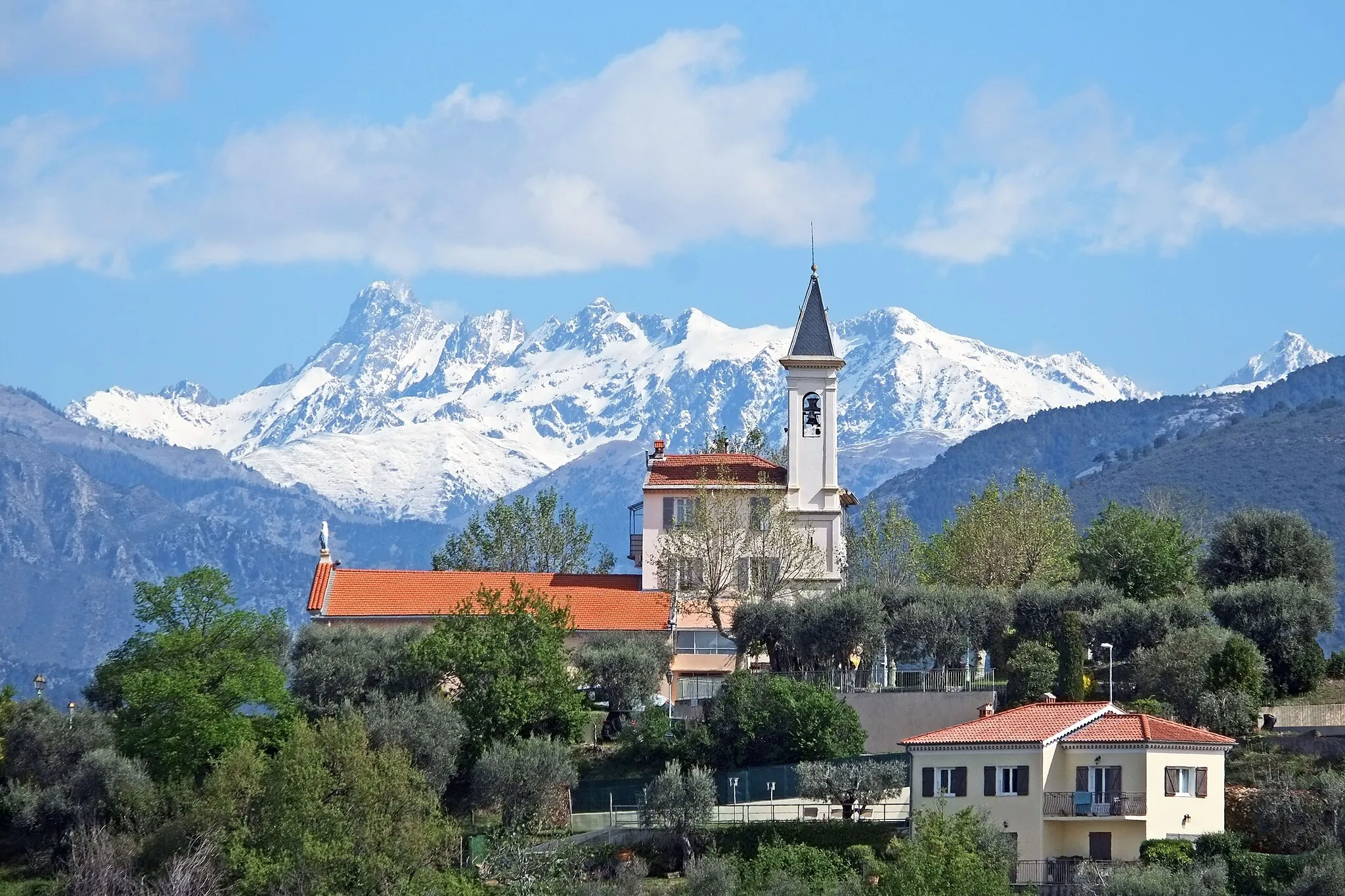
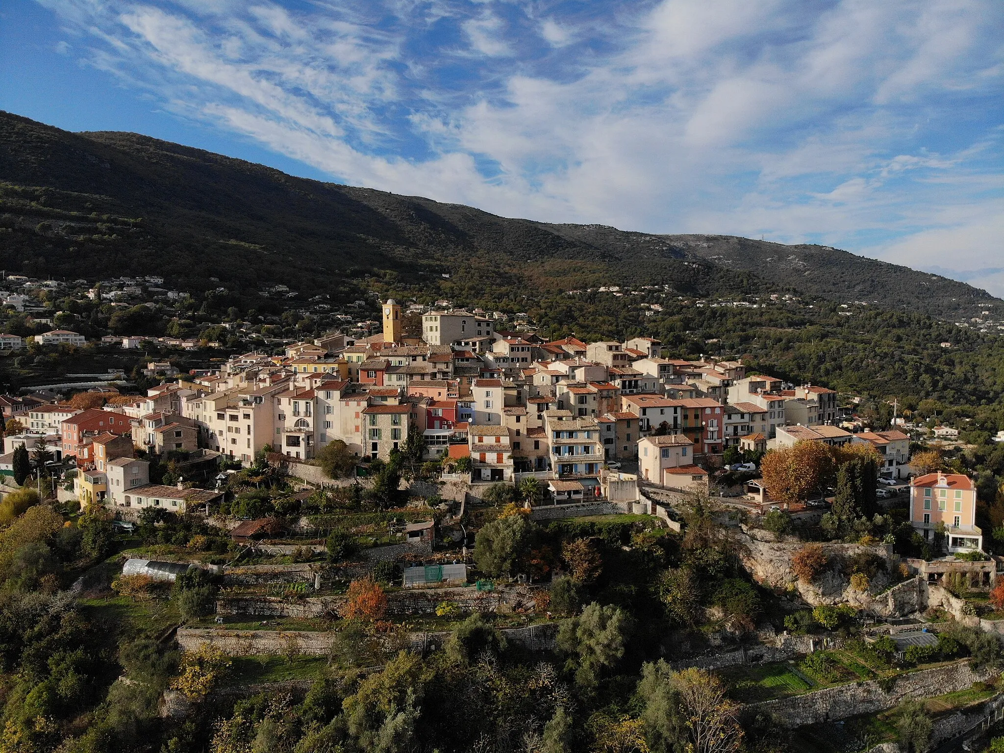
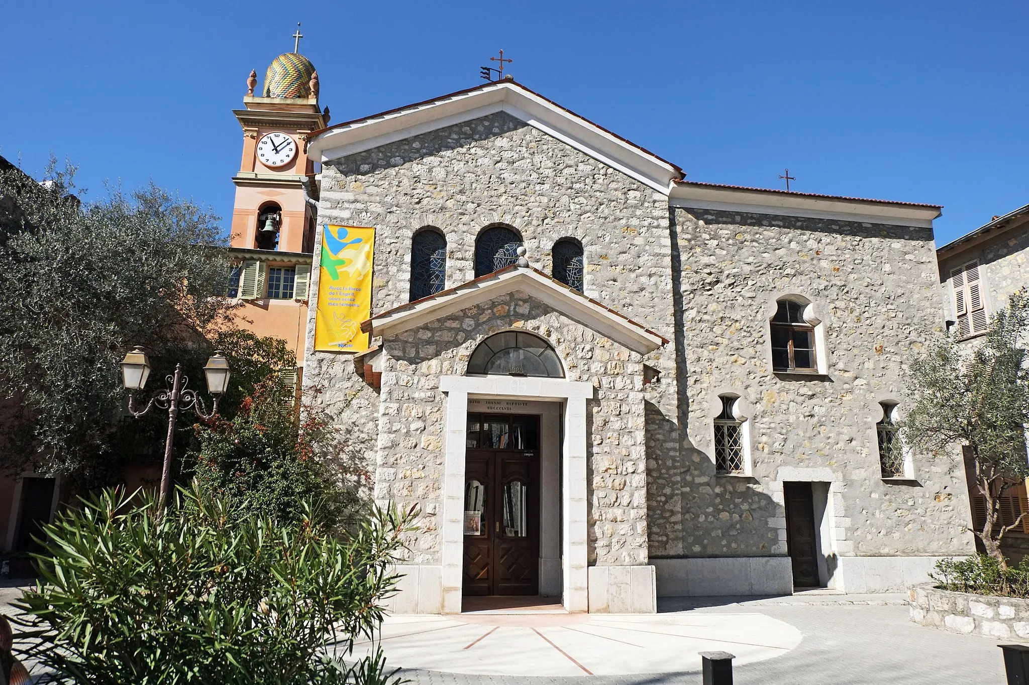
Châteauneuf-VillevieilleRuinyHistoric village known for its cultural heritage and scenic views.
26 km
26 km
Col de Calaïson450 mPrzełęcz górskaMountain pass that provides stunning views of the valley below.
31 km
31 km
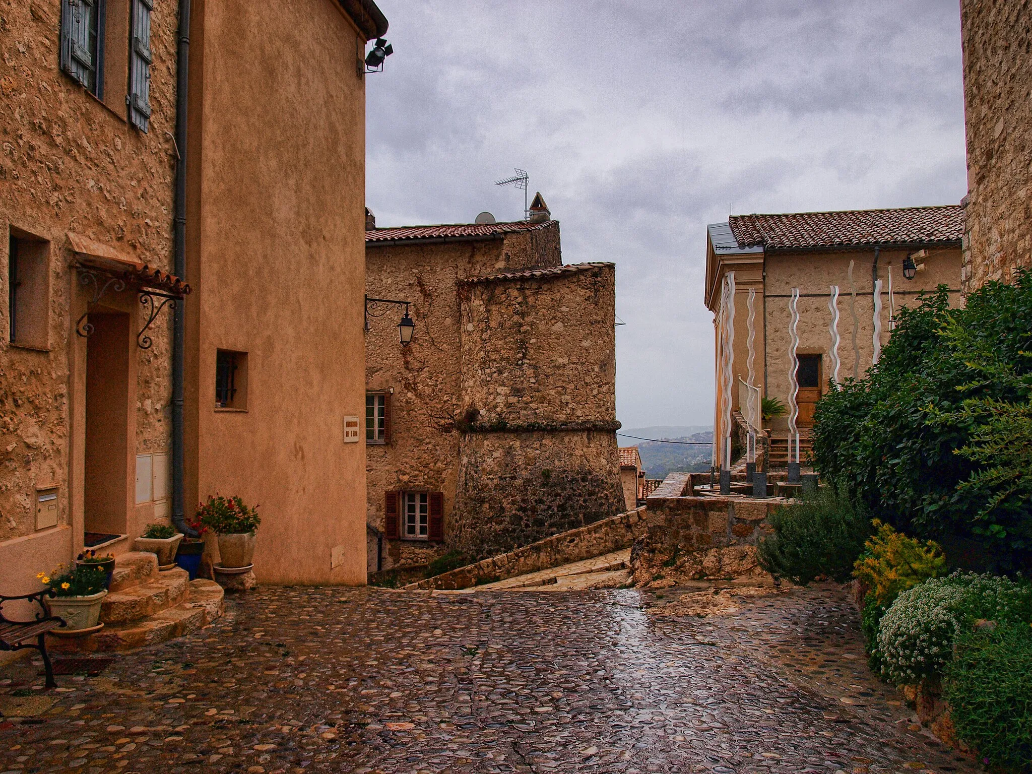
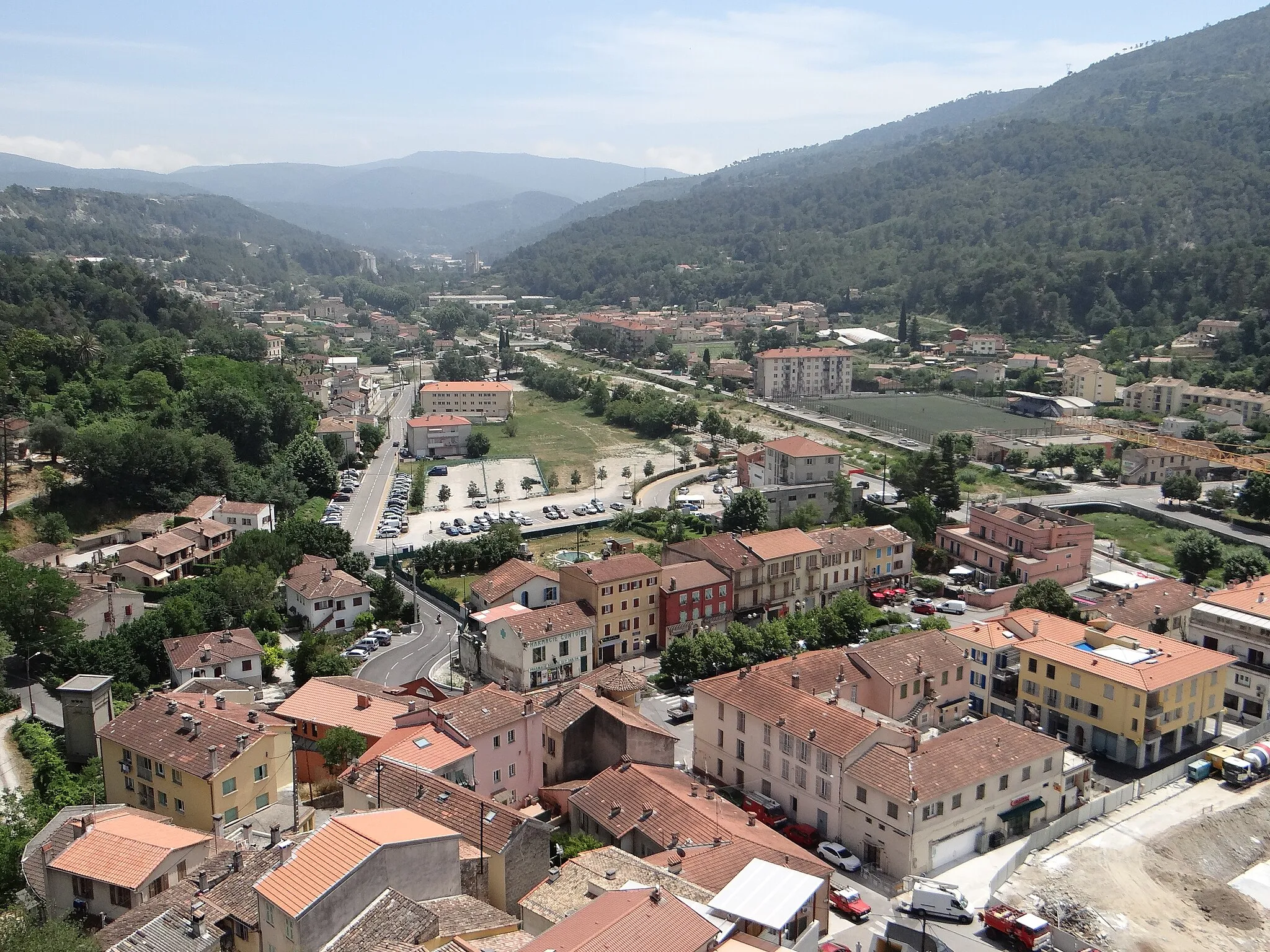
Touët-de-l'EscarèneWioskaQuaint village surrounded by lush greenery and traditional architecture.
40 km
40 km
Col de Braus1002 mPrzełęcz górskaScenic mountain pass with breathtaking panoramic views of the surrounding area.
52 km
52 km
SospelWioskaCharming town with historic architecture and winding streets.
60 km
60 km
Pointe Bèque349 mSzczytBeautiful lookout point offering stunning views of the coastline and surrounding landscape.
81 km
81 km
Monte Armetta474 mSzczytMountain peak with panoramic views of the Alps and surrounding valleys.
97 km
97 km
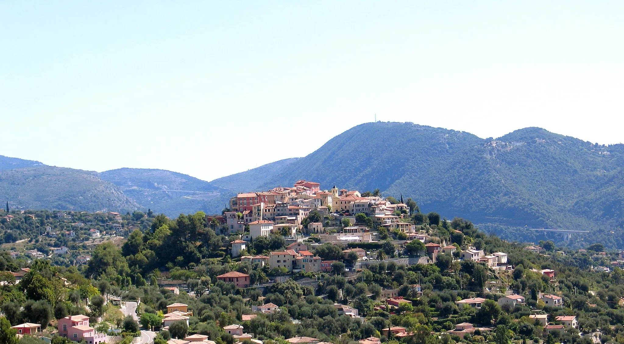
Castel VittorioWioskaHistoric village with quaint streets and stunning vistas of the valley.
108 km
108 km
Terrazza sulle AlpiWidokTerrace overlooking the beautiful Alps and lush greenery.
117 km
117 km
CerianaWioskaScenic village with narrow streets and historical buildings.
130 km
130 km
Madonna della CostaWidokHistorical sanctuary famous for its religious significance.
142 km
142 km
Belvedere Bandiera BluWidokPanoramic viewpoint offering stunning vistas of the surrounding countryside.
154 km
154 km
Grimaldi InferioreWioskaCharming village with traditional architecture and stunning views of the Mediterranean.
167 km
167 km
Mont des Mules291 mSzczytMountain peak with panoramic views of the Alps and surrounding valleys.
171 km
171 km
Cap-d'AilWioskaCharming coastal town with beautiful beaches and historic landmarks.
183 km
183 km
Mont Alban223 mSzczytHistoric mountain with panoramic views of the surrounding countryside.
193 km
193 km
Cascade de GairautWodospadBreathtaking waterfall surrounded by lush greenery.
201 km
201 km
Miejsce docelowe: Aspremont Village centerAspremont: Malownicze trasy wśród winnic i ogrodów oliwnych.
Trasy rowerowe z Aspremont:
Przejażdżka rowerowa po Colline de Saint-Pierre Trasa Road Aspremont - La Croix de Cuor Trasa rowerowa do Cascade de Gairaut Trasa Szosowa wokół Aspremont Trasa rowerowa Aspremont - Col de Vence Trasa Gravelowa wokół Aspremont Trasa Szosowa wokół Aspremont Trasa Gravel Aspremont - Gattières Wyprawa rowerowa z Monte Armetta Rowerowa wyprawa do Belvédère du parapet
Trasy rowerowe w okolicy: