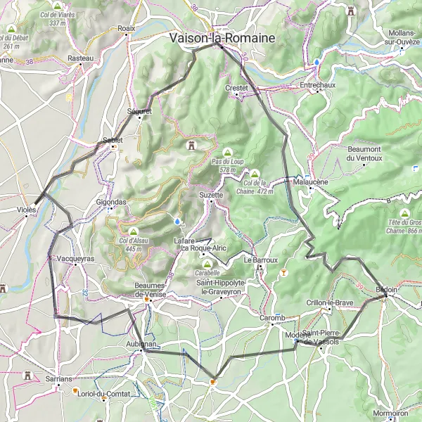
Countryside Loop via Sablet
Trasa rowerowa o rodzaju road rozpoczynająca się w miejscowości Bedoin
Relaxing road ride through picturesque countryside
Mapa
Take a leisurely road ride through the stunning landscapes of Provence-Alpes-Côte d’Azur, passing by charming villages and scenic viewpoints. Enjoy the gentle climbs and rewarding descents, soaking in the tranquility and beauty of the region.
road
65 km
703 m
Trudna
Profil trasy
Najważniejsze punkty na trasie
0 km
0 km
Start: Bédoin Village centerBédoin: Legendarne miejsce dla kolarzy chcących zmierzyć się z trudnymi trasami.
Bédoin to niewielka miejscowość w regionie Prowansja-Alpy-Lazurowe Wybrzeże, znana głównie z jednej z najtrudniejszych tras kolarskich - podjazdu na Mont Ventoux. Dla pasjonatów kolarstwa to raj, pełen wyzwań i możliwości poprawy swoich umiejętności.4 km
4 km
Saint-Pierre-de-VassolsWioskaA traditional village with stone houses and a peaceful ambiance.
15 km
15 km
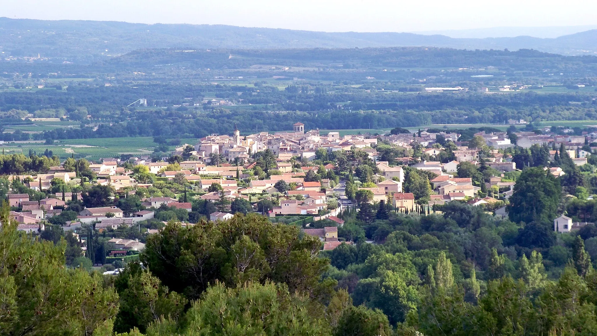
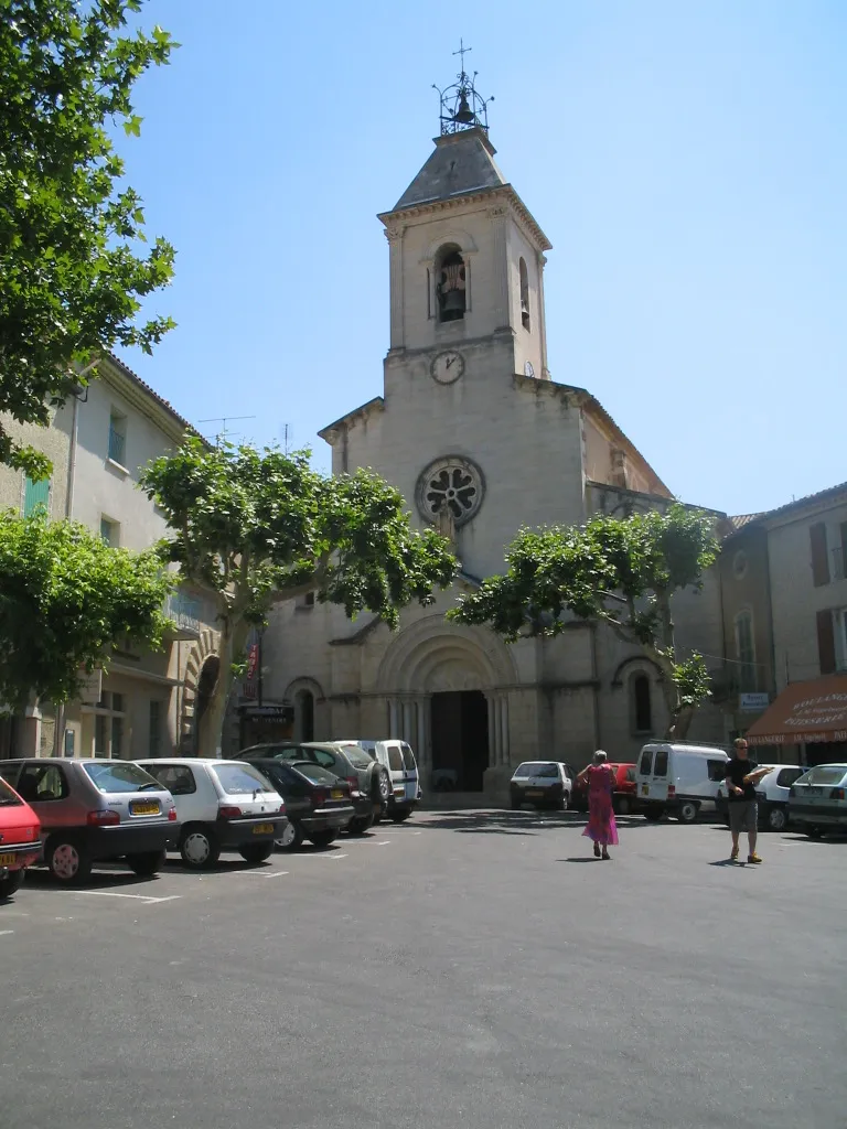
AubignanWioskaA charming town with historic buildings and a vibrant local culture.
30 km
30 km
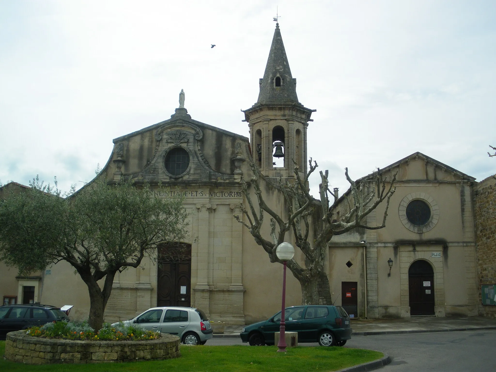
ViolèsWioskaA picturesque village surrounded by vineyards and olive groves, known for its gastronomic delights.
36 km
36 km
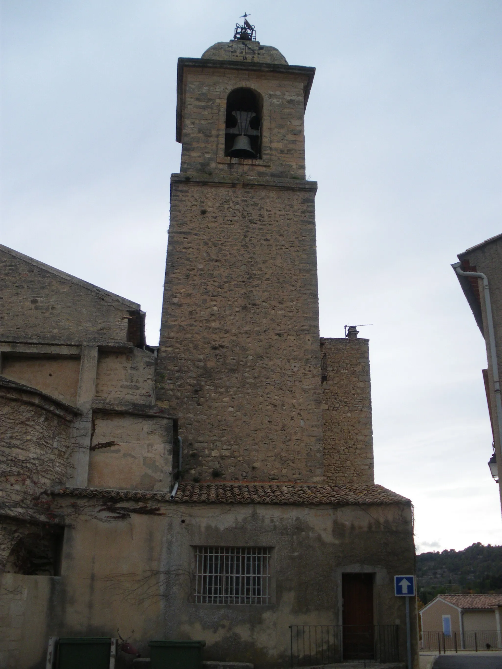
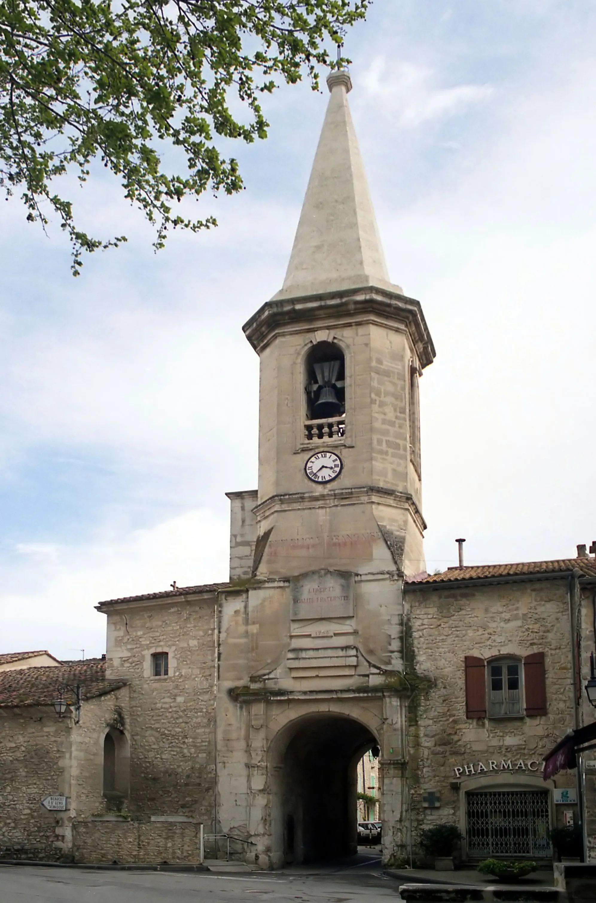
SabletWioskaA historic village with traditional architecture and a laid-back atmosphere.
38 km
38 km
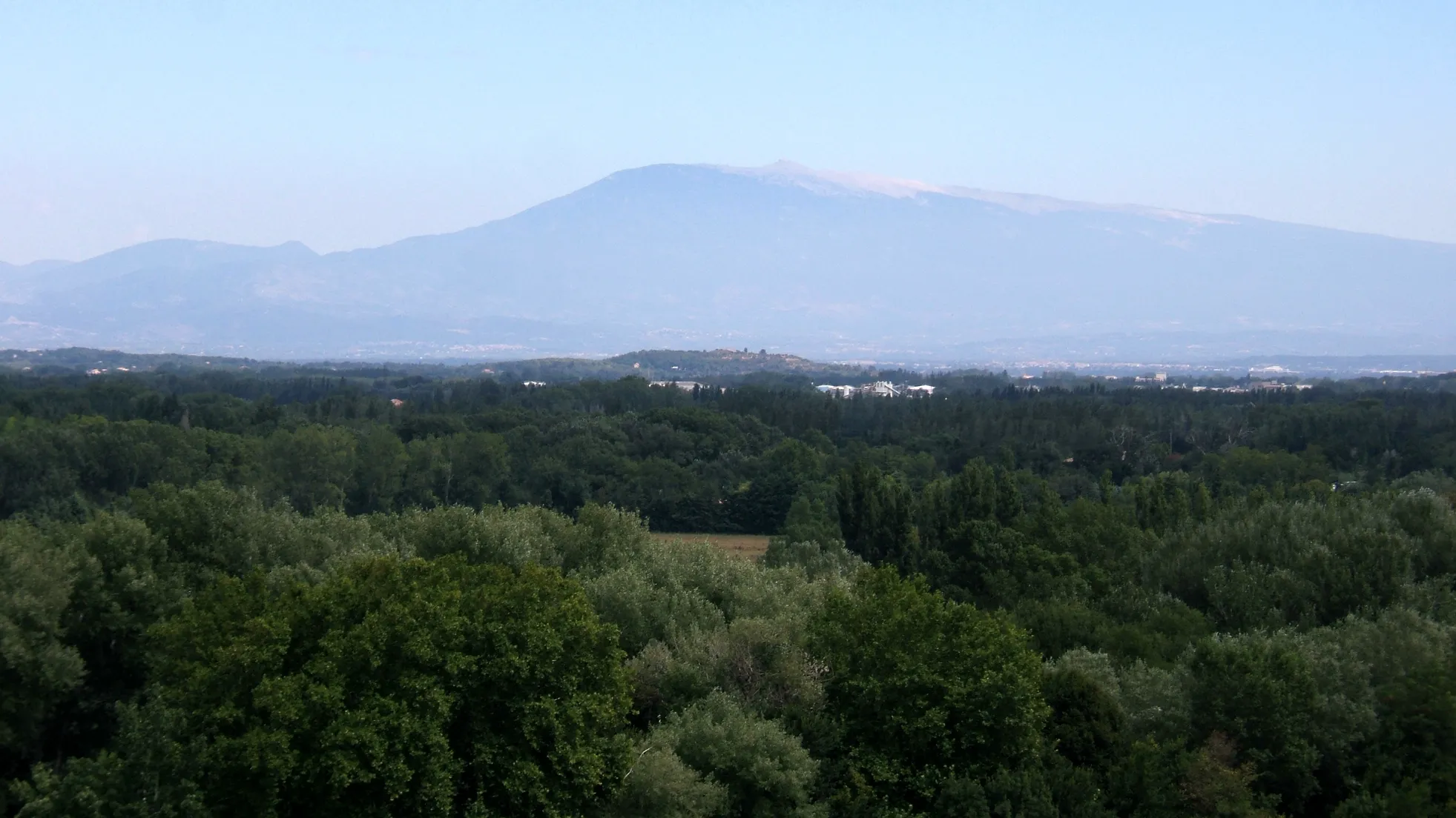
PanoramaWidokA scenic viewpoint offering sweeping views of the countryside below.
48 km
48 km
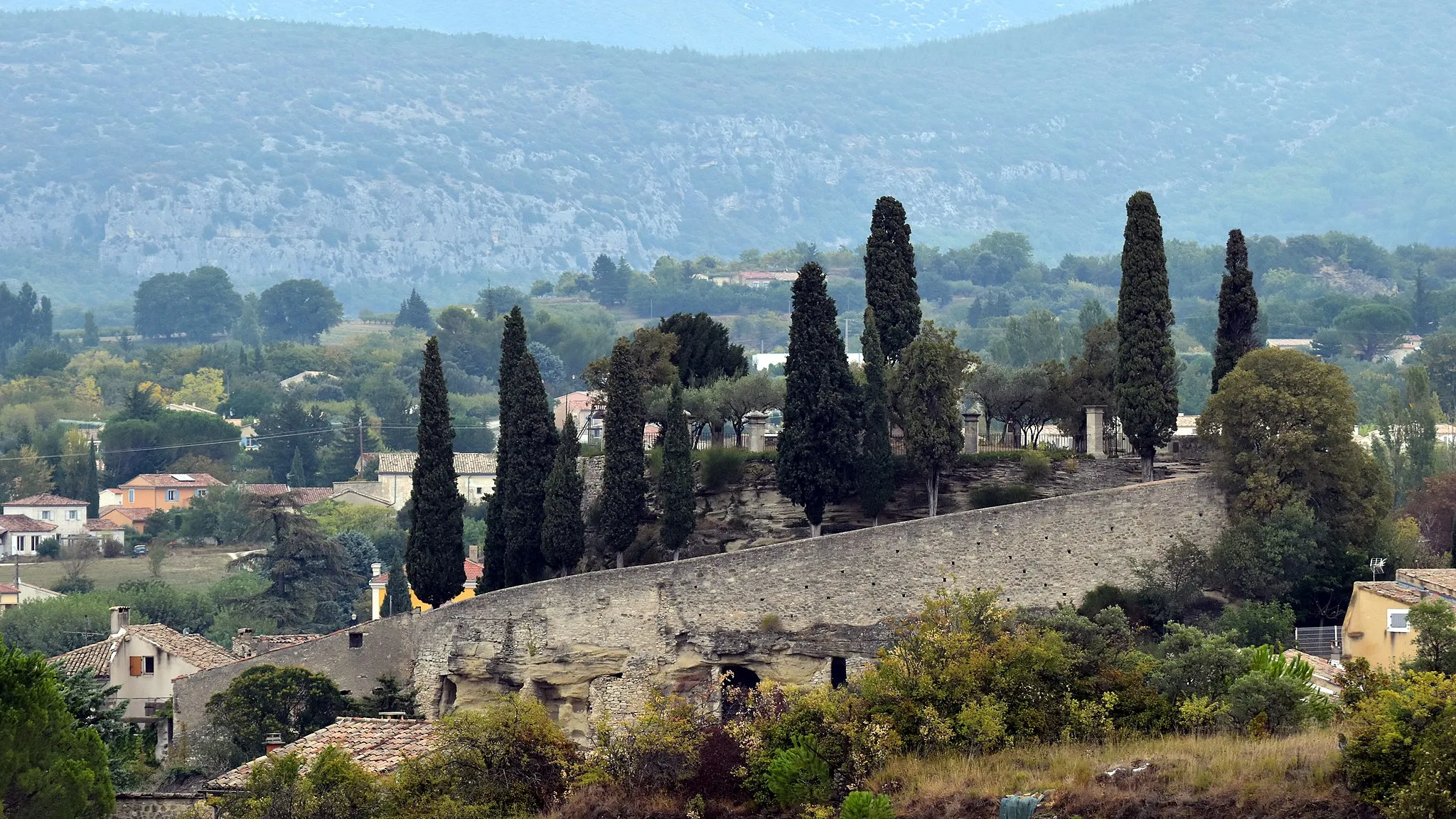
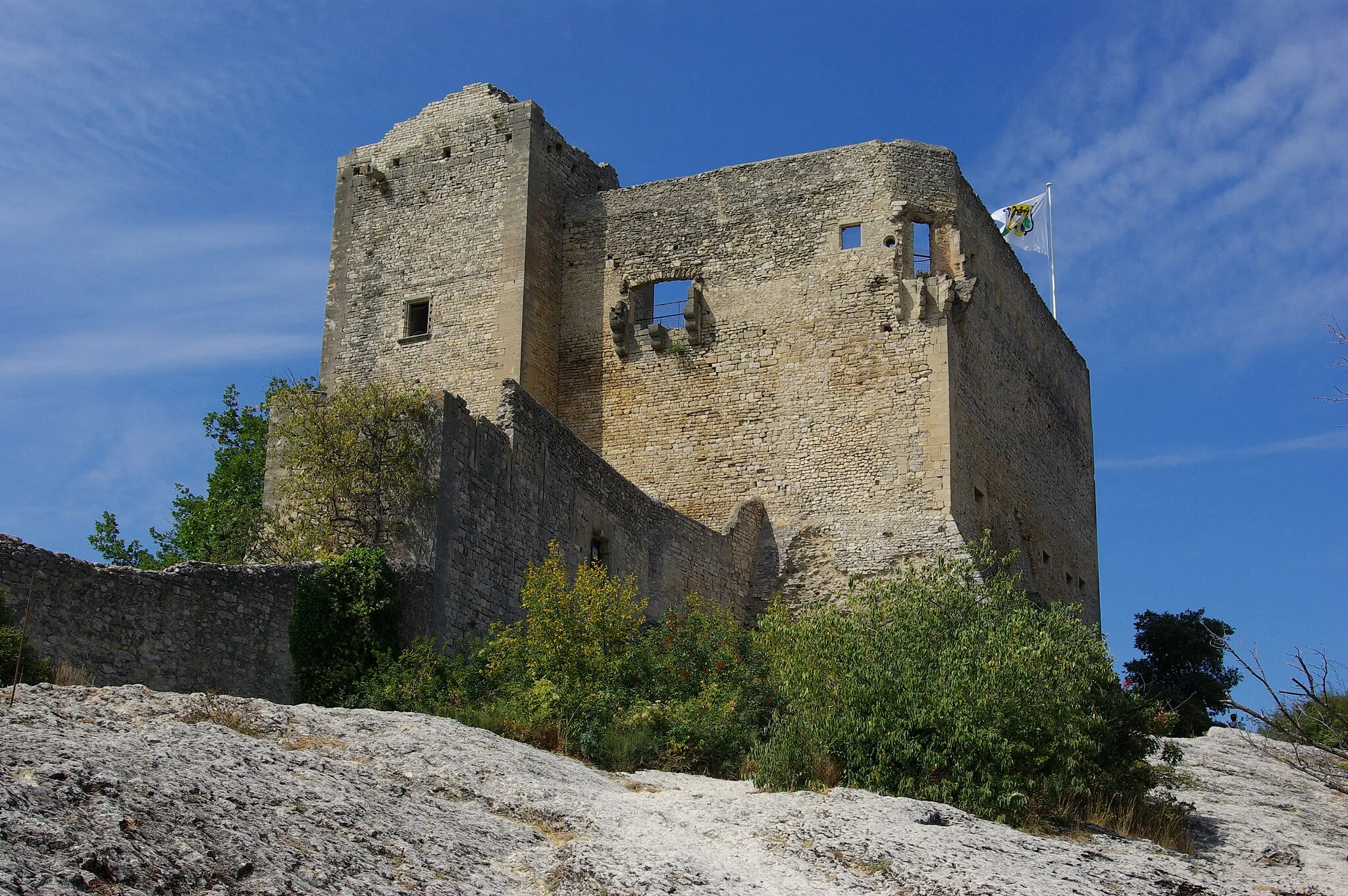
CrestetWioskaA picturesque village perched on a hill, known for its stunning sunsets.
58 km
58 km
Pié Cheval505 mSzczytA natural rock formation resembling a horse's hoof, with a mystical aura and spiritual significance.
65 km
65 km
BédoinWioskaThe starting and ending point of the route, a charming village with a relaxed vibe and friendly locals.
65 km
65 km
Miejsce docelowe: Bédoin Village centerBédoin: Legendarne miejsce dla kolarzy chcących zmierzyć się z trudnymi trasami.
Trasy rowerowe z Bedoin:
Scenic Route from Malaucène to Bédoin Trasa z Bédoin do Malemort-du-Comtat Off-Road Adventure to Mont Serein Pejzażowa trasa z Flassan do Méthamis Windy Road to Belvédère de la Nesque Mountainous Challenge to Flassan Countryside Loop via Sablet Szlak gravelowy z Lioux do Bédoin Wyzwanie z Bédoin do Serre des Moles Przygoda gravelowa z Bédoin do Buis-les-Baronnies
Trasy rowerowe w okolicy: