Trasa z Ailefroide do Les Vigneaux
Trasa rowerowa o rodzaju road rozpoczynająca się w miejscowości Saint-Chaffrey
Przemierzaj piękne trasy wokół Ailefroide i Les Vigneaux.
Mapa

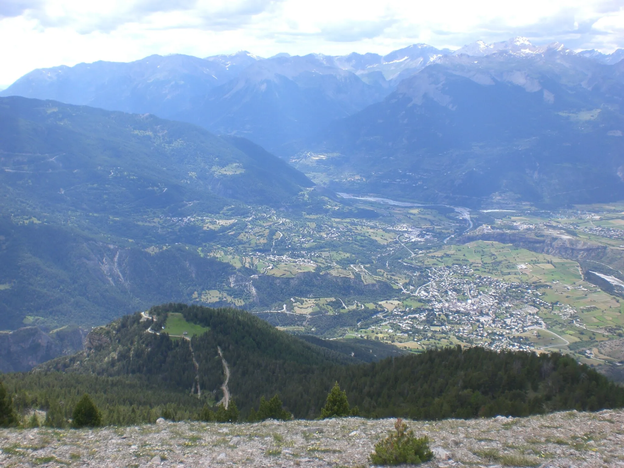
Piękna trasa prowadząca z Ailefroide do Les Vigneaux. 64 km pełne wrażeń i 1278 m przewyższenia. Ciekawe miejsca takie jak Saint-Martin-de-Queyrières czy magiczne Saint-Chaffrey czekają na odkrycie. To idealna opcja dla miłośników rowerowych podróży w pięknej scenerii.
road
64 km
1278 m
Relaks
Profil trasy
Najważniejsze punkty na trasie
0 km
0 km
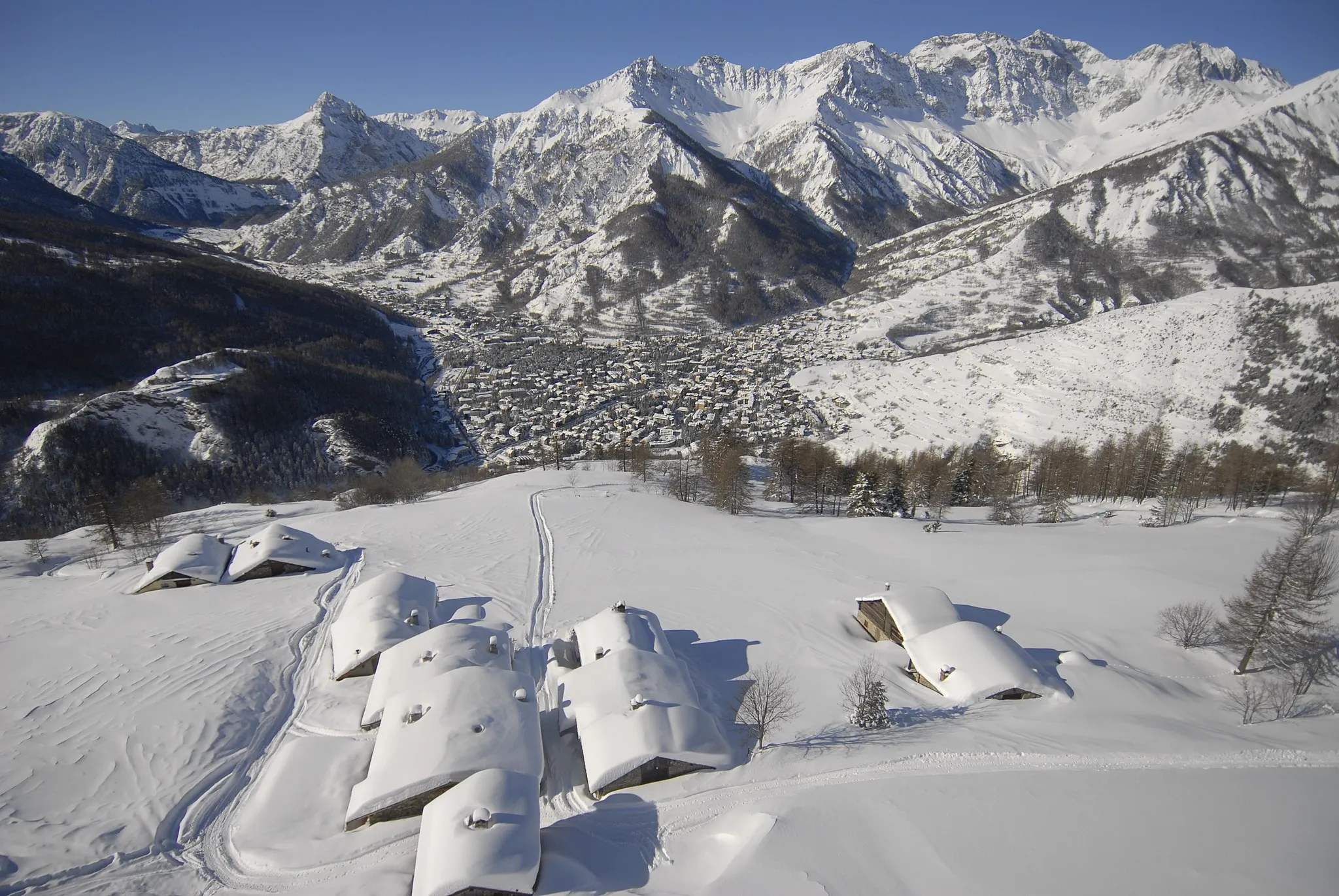
Start: Saint-Chaffrey Village centerSaint-Chaffrey: Górska przygoda
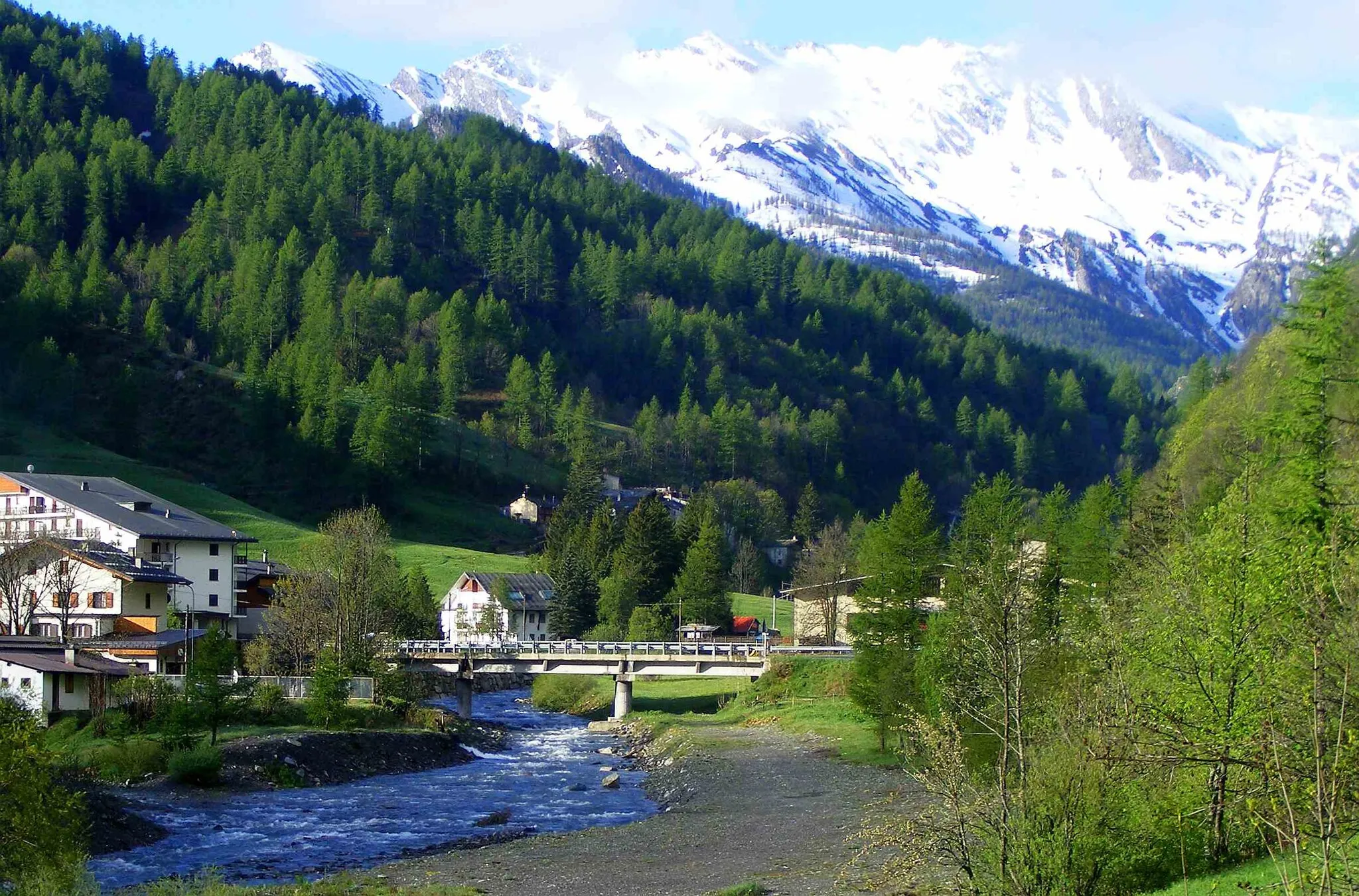
Saint-Chaffrey to urokliwa miejscowość w regionie Prowansji-Alpy-Lazurowe Wybrzeże we Francji. Otoczona górami, oferuje liczne trasy rowerowe zarówno dla kolarzy szosowych, jak i gravelowych. Saint-Chaffrey to doskonałe miejsce dla osób poszukujących wyzwań i pięknych widoków podczas jazdy na rowerze.12 km
12 km
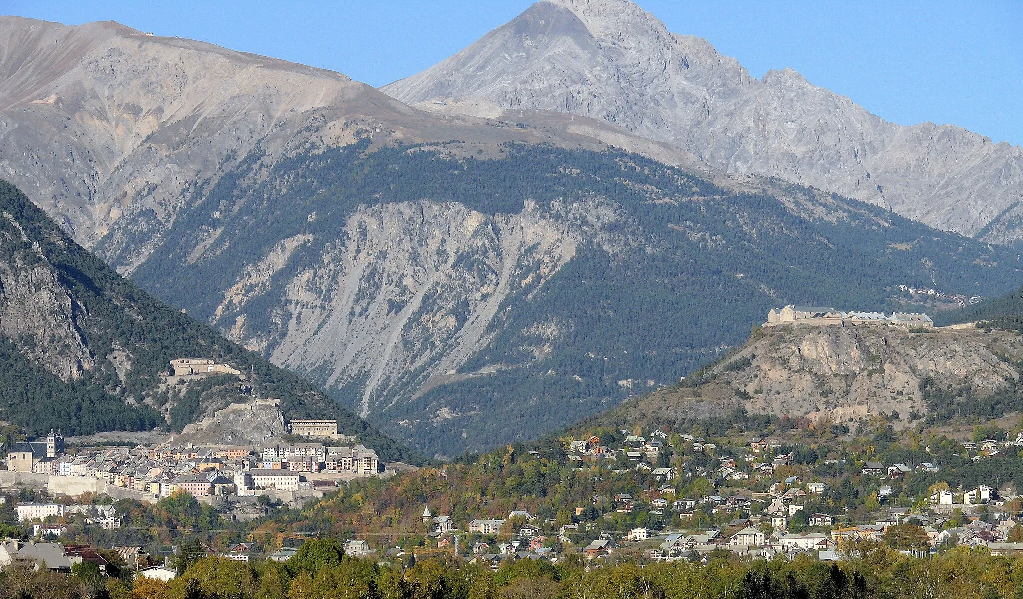
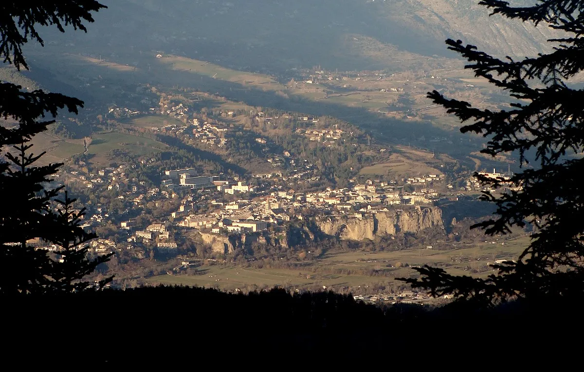
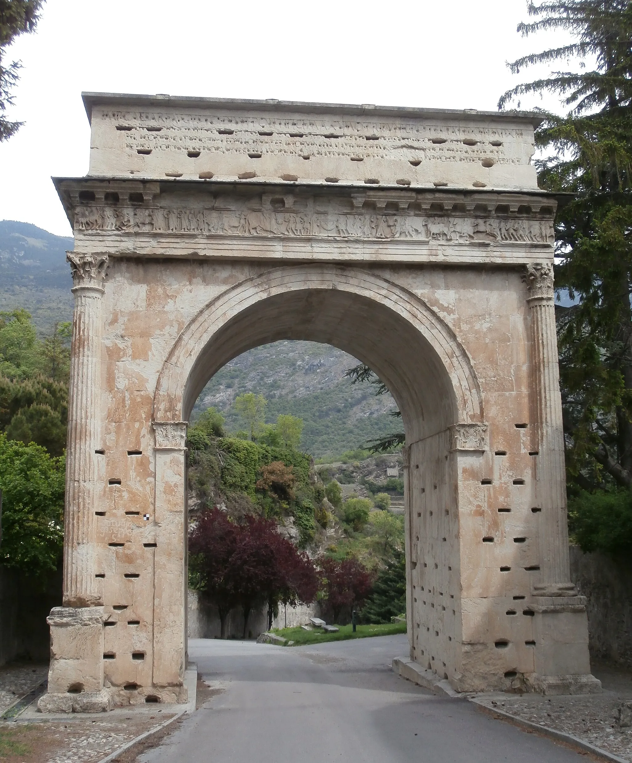
Saint-Martin-de-QueyrièresWioskaSaint-Martin-de-Queyrières - miejsce o bogatej historii.
31 km
31 km
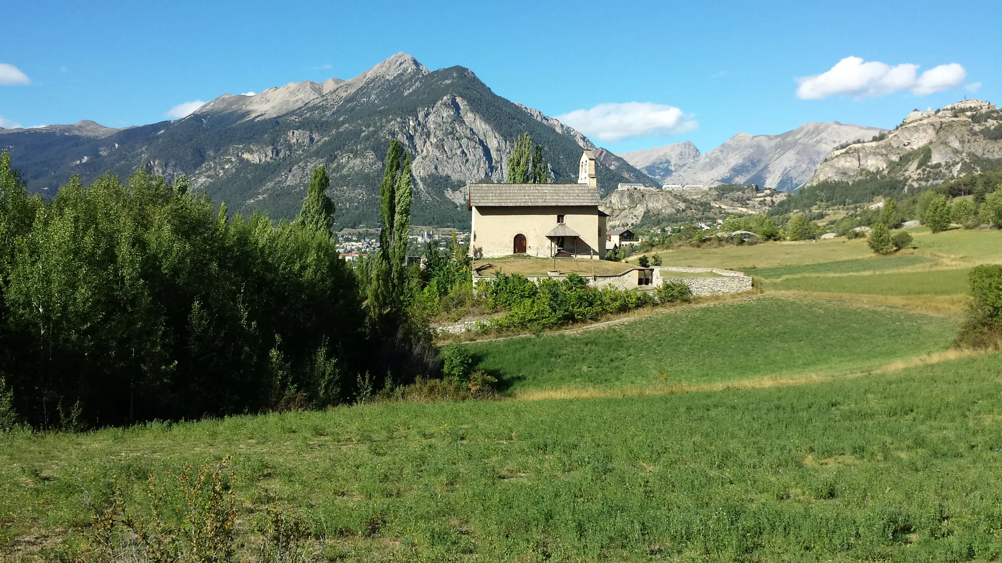
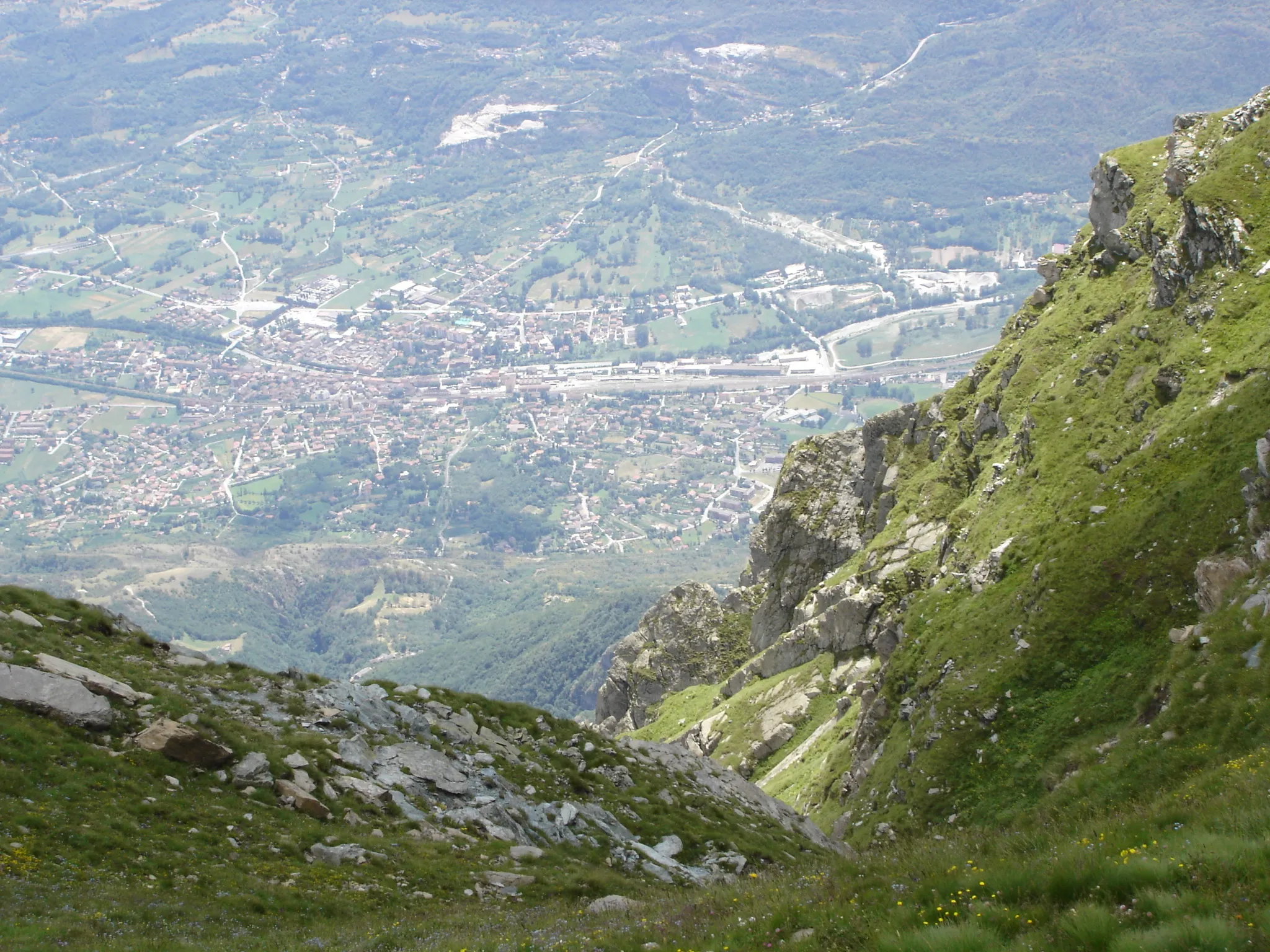
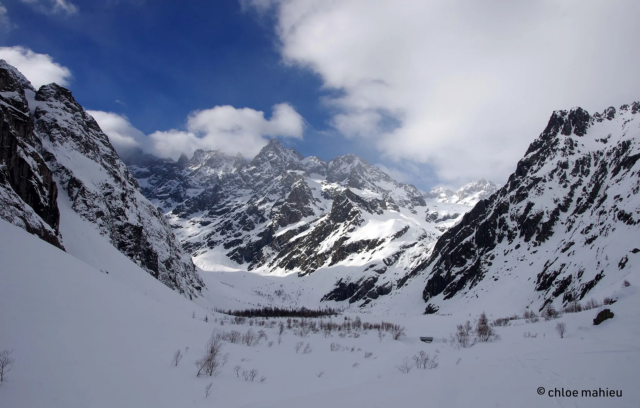
AilefroideWioseczkaPrzejeżdżając przez Ailefroide, poznaj jego tajemnice.
45 km
45 km
Les VigneauxWioskaOdkryj urok Les Vigneaux i jego okolic.
64 km
64 km
Saint-ChaffreyWioskaWyrusz w podróż z malowniczego Saint-Chaffrey.
64 km
64 km
Miejsce docelowe: Saint-Chaffrey Village centerSaint-Chaffrey: Górska przygoda
Trasy rowerowe z Saint-Chaffrey:
Rowery w okolicach de l'Échelle Wyzwanie wokół Col du Galibier Trasa z Ailefroide do Les Vigneaux Trasa Gravel Pont Baldy - Saint-Chaffrey Trasa Gravel La Vachette - Les Alberts Trasa wokół Col d'Izoard Trasa Gravel La Vachette - Les Alberts Przejażdżka szutrowymi drogami w Górach Złotych Trasa Gravel Villeneuve - Saint-Chaffrey Trasa Road Saint-Martin-de-Queyrières - Saint-Chaffrey
Trasy rowerowe w okolicy: