Trasa szosowa przez La Brigue, Passo del Ginestro i Sanremo
Trasa rowerowa o rodzaju road rozpoczynająca się w miejscowości Tende
Podczas tej drogi dotrzesz do malowniczych miejscowości i punktów widokowych
Mapa

Trasa szosowa o długości 208 km i przewyższeniu 6321 m, prowadząca przez urokliwe miasteczka i malownicze góry. Na trasie znajdują się punkty widokowe takie jak Cime du Pinet, Verdeggia czy Monte Grange, które zachwycą kolarzy i turystów swoimi widokami.
road
208 km
6321 m
Trudna
Profil trasy
Najważniejsze punkty na trasie
0 km
0 km
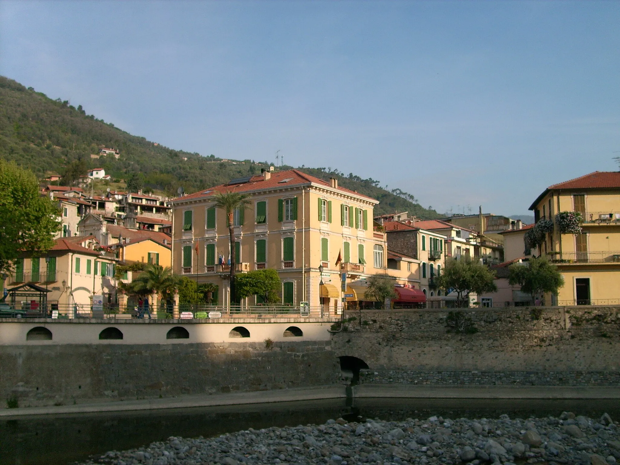
Start: Tende Village centerTende: Malownicza miejscowość w pobliżu granicy z Włochami.
Tende to malownicza miejscowość położona w regionie Prowansja-Alpy-Lazurowe Wybrzeże, w pobliżu granicy z Włochami. Znana z urokliwych uliczek i pięknych widoków górskich, przyciąga miłośników jazdy rowerowej z całego świata. W okolicy znajdują się trasy rowerowe o różnym stopniu trudności, a jednym z najważniejszych punktów jest nieodzowne przejście graniczne na Colle di Tenda.7 km
7 km
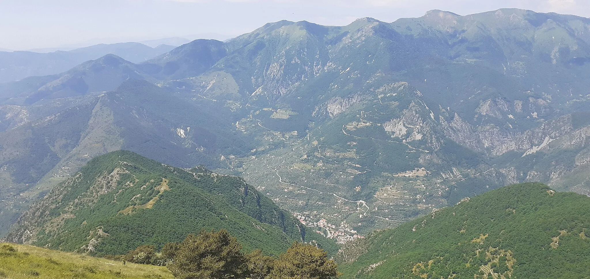
La BrigueWioskaUrocza wioska pełna wąskich uliczek i zabytkowej architektury
15 km
15 km
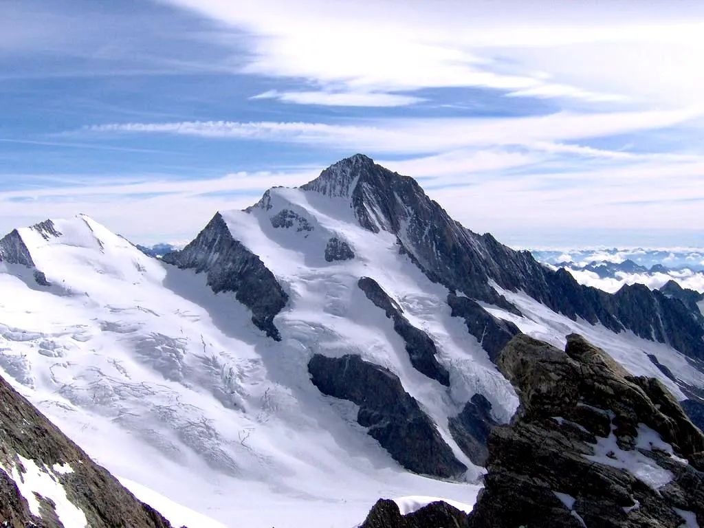
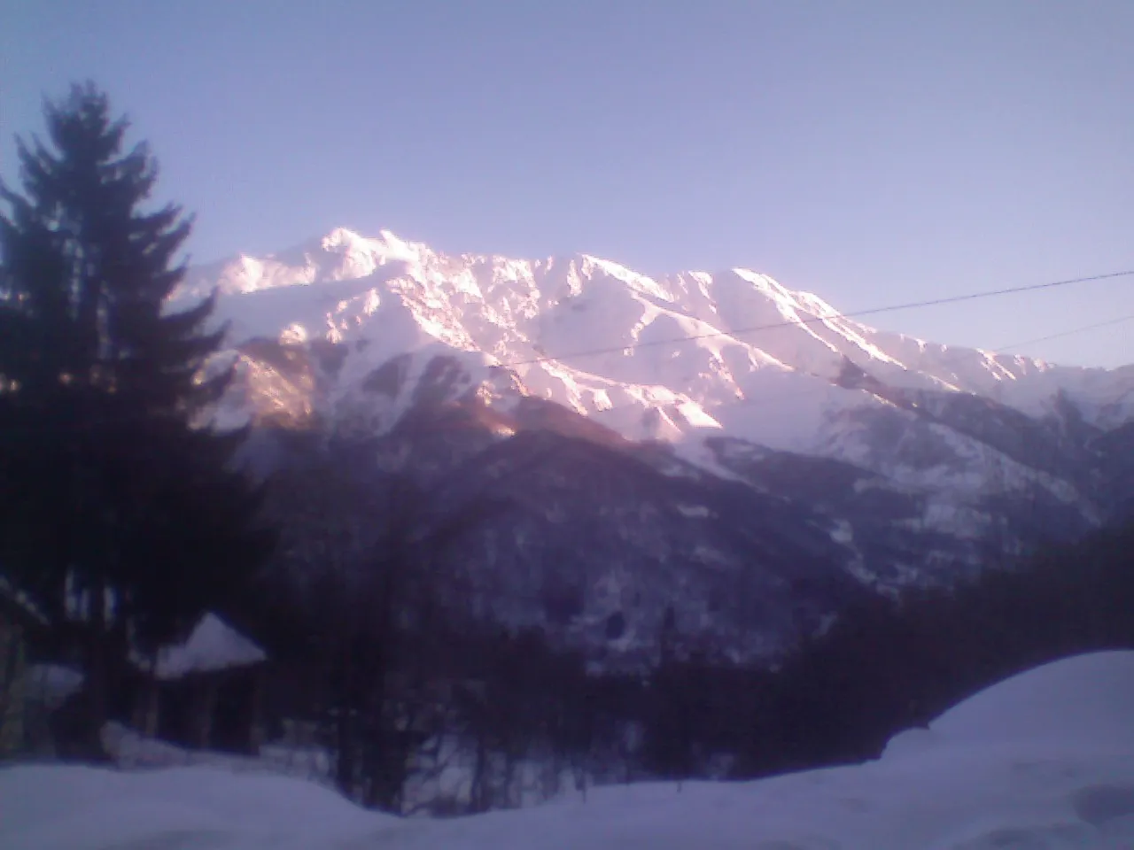
Cime du Pinet1480 mSzczytCime du Pinet to punkt widokowy z zapierającymi dech widokami na okolicę
26 km
26 km
Testa delle Collette1422 mSzczytTesta delle Collette offers stunning panoramic views of the surrounding mountains
30 km
30 km
VerdeggiaWioskaVerdeggia is a picturesque village with historic charm
44 km
44 km
Poggio della Croce894 mSzczytPoggio della Croce is a scenic spot with beautiful landscapes
45 km
45 km
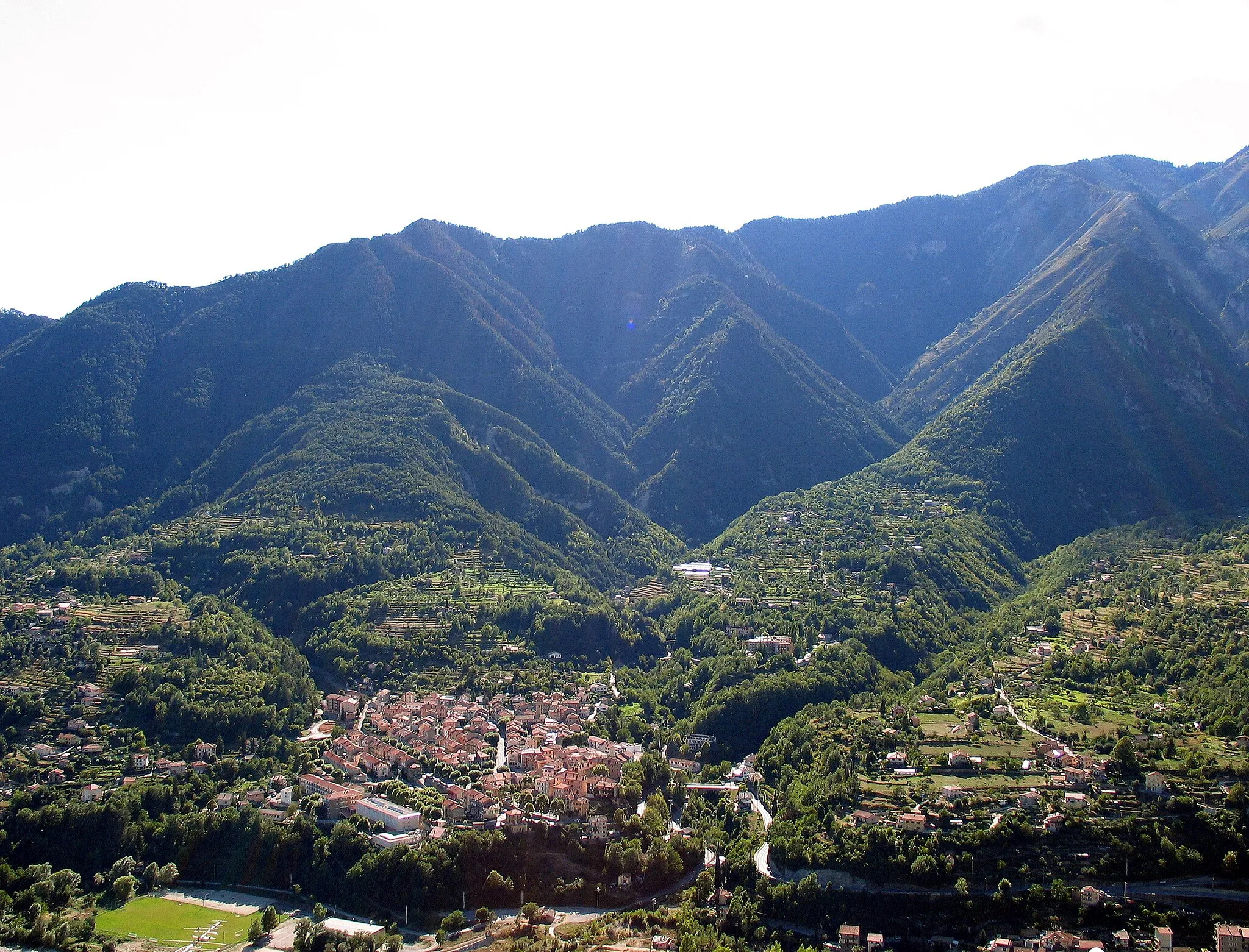
Molini di TrioraWioskaMolini di Triora is known for its medieval architecture and charming atmosphere
58 km
58 km
Montalto LigureWioskaMontalto Ligure is a quaint village with cobbled streets and historic buildings
69 km
69 km
Monte Carpasina1415 mSzczytMonte Carpasina offers panoramic views of the Ligurian coast and the Mediterranean Sea
86 km
86 km
Passo del Ginestro677 mPrzełęcz górskaPasso del Ginestro is a challenging mountain pass with breathtaking views
91 km
91 km
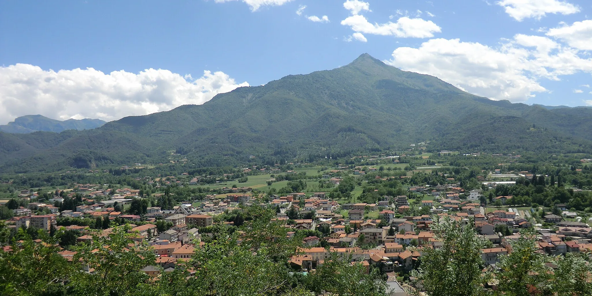
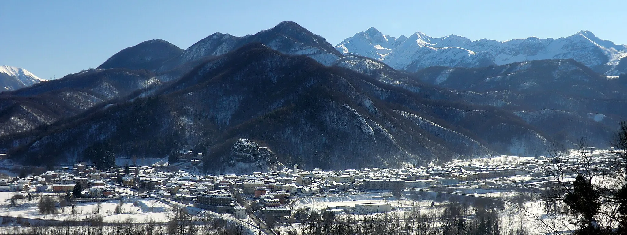
TesticoWioskaTestico is a picturesque village nestled in the mountains
104 km
104 km
ChiusanicoWioskaChiusanico is a charming town with a rich cultural heritage and historic buildings
113 km
113 km
Monte Pian Cavallè578 mSzczytMonte Pian Cavallè offers stunning views of the surrounding mountains and valleys
129 km
129 km
San Lorenzo al MareWioskaSan Lorenzo al Mare is a coastal town with beautiful beaches and historic architecture
137 km
137 km
Monte Grange200 mSzczytMonte Grange offers panoramic vistas of the Alps and the Mediterranean Sea
146 km
146 km
Madonna della CostaWidokMadonna della Costa is a beautiful shrine with panoramic views of the Ligurian coast
146 km
146 km
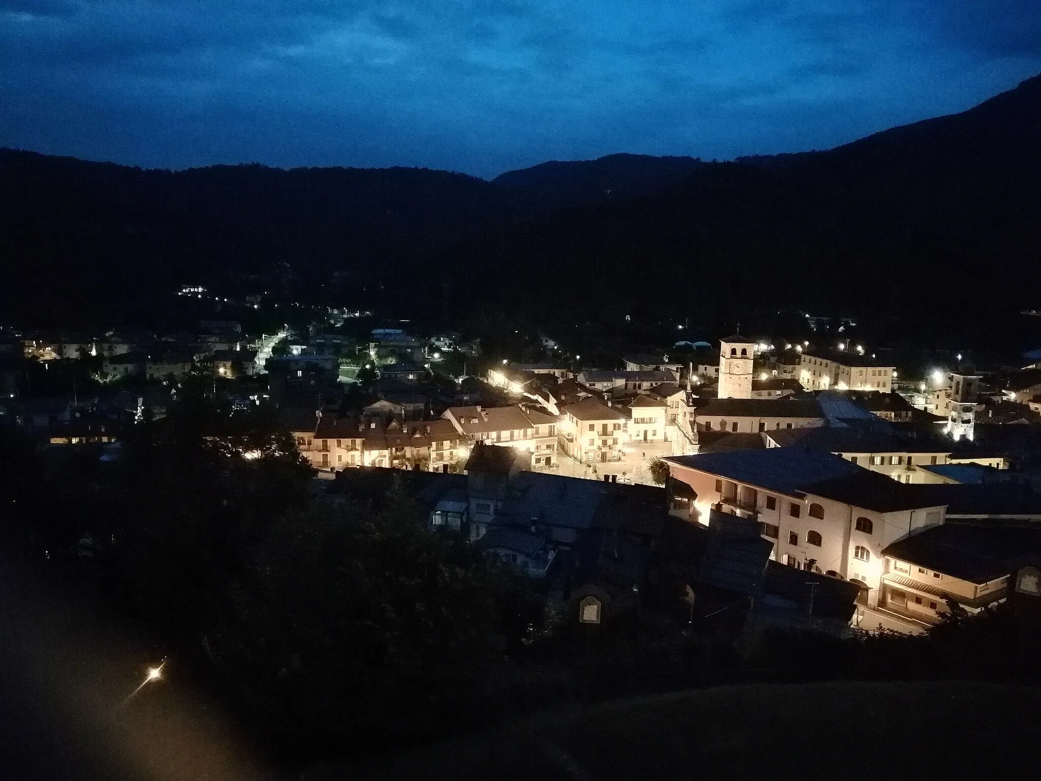
SanremoMiastoSanremo is a popular tourist destination known for its beautiful beaches and historic sites
158 km
158 km
Belvedere Bandiera BluWidokBelvedere Bandiera Blu offers scenic views of the Mediterranean coastline and the surrounding hills
158 km
158 km
BordigheraMiastoBordighera is a charming coastal town with a rich history and cultural heritage
174 km
174 km
Passo della Pagliurà286 mPrzełęcz górskaPasso della Pagliurà offers stunning views of the Ligurian coast and the surrounding mountains
174 km
174 km
AiroleWioskaAirole is a picturesque village perched on a hillside with panoramic views of the valley and the Mediterranean Sea
187 km
187 km
Breil-sur-RoyaWioskaBreil-sur-Roya is a charming town with a rich history and cultural heritage
193 km
193 km
Old bridge viewWidokOld bridge view offers scenic vistas of the old stone bridge over the river Roya
203 km
203 km
Saint-Dalmas-de-TendeWioskaSaint-Dalmas-de-Tende is a quaint mountain village known for its historic architecture
208 km
208 km
Miejsce docelowe: Tende Village centerTende: Malownicza miejscowość w pobliżu granicy z Włochami.
Trasy rowerowe z Tende:
Trasa Gravel Baisse d'Ourne Trasa Gravel Tende - Cime de Pépin Trasa Road Tende - Breil-sur-Roya Trasa gravelowa przez La Colletta, Monte Maluna i Limone Piemonte Trasa Gravel Col de Loubaïra Trasa Road Tende i okolice Szlak gravelowy przez Col de Loubaïra, Mont Saccarel i Madonna della Costa Trasa przez Saorge i Sospel Trasa szosowa przez La Brigue, Passo del Ginestro i Sanremo
Trasy rowerowe w okolicy: