Trasa Le Cormet D'Arêche - Les Colombières
Trasa rowerowa o rodzaju gravel rozpoczynająca się w miejscowości Aime
Wspaniała trasa gravelowa z Cormet D'Arêche do Les Colombières.
Mapa

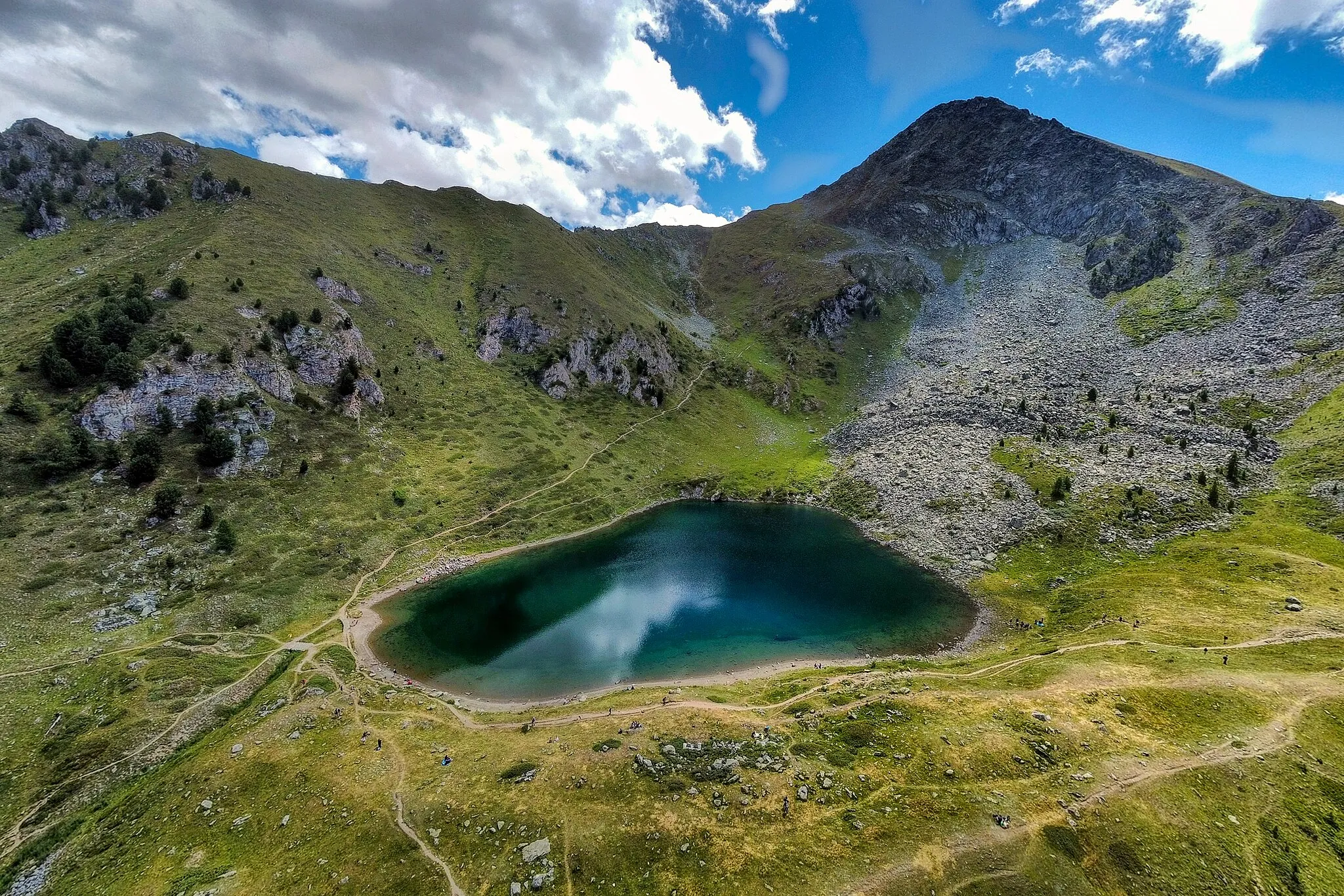
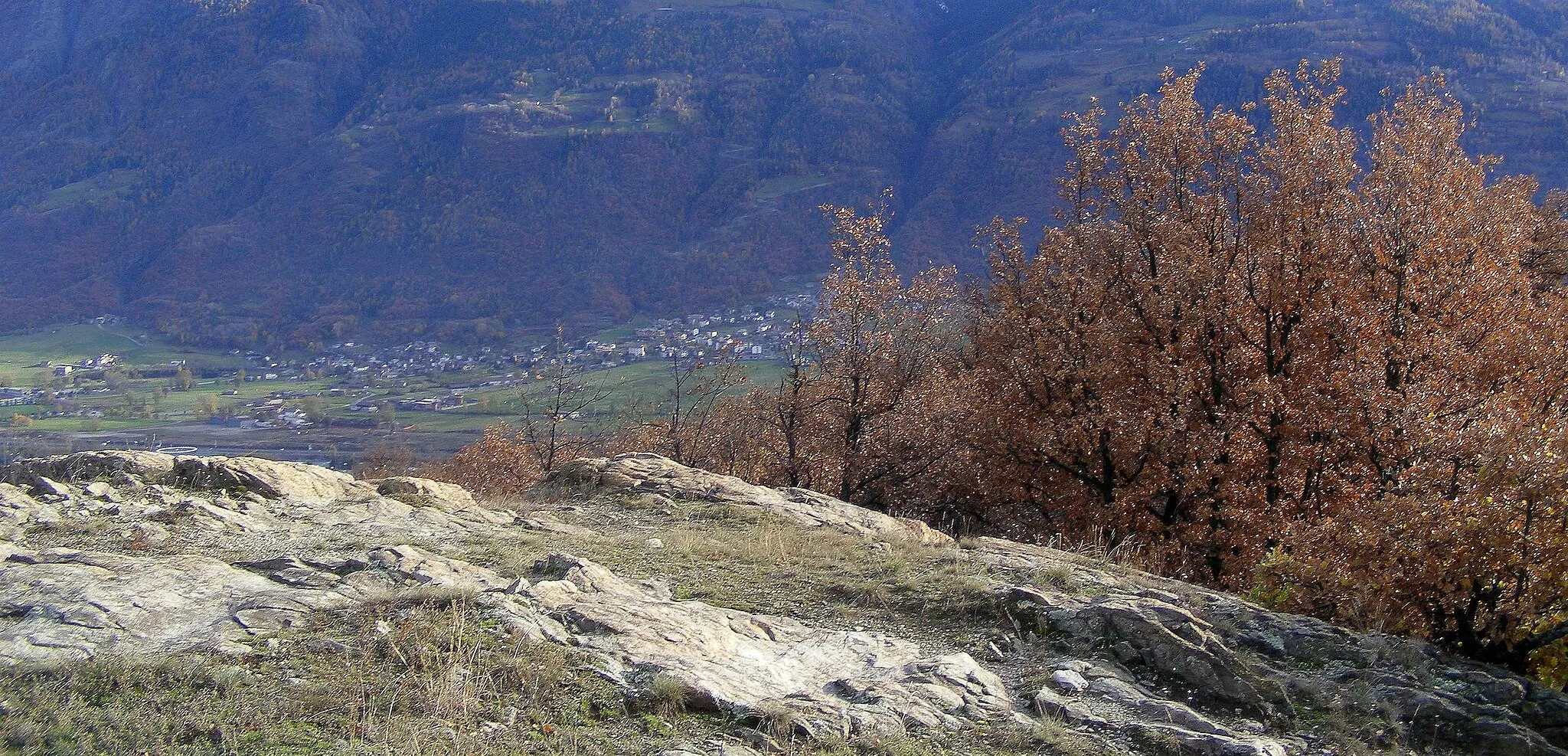
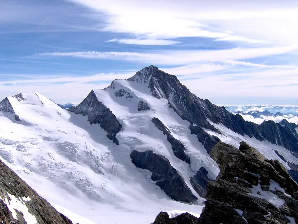
To trasa dla miłośników gravelu, prowadząca przez urokliwe Les Colombières i majestatyczną przełęcz Cormet D'Arêche. Przejazd przez Roche Parstire stanowi dodatkową atrakcję tej trasy. Malownicze krajobrazy i trudne odcinki sprawiają, że trasa ta jest godna uwagi dla zaawansowanych rowerzystów.
gravel
61 km
2785 m
Trudna
Profil trasy
Najważniejsze punkty na trasie
0 km
0 km
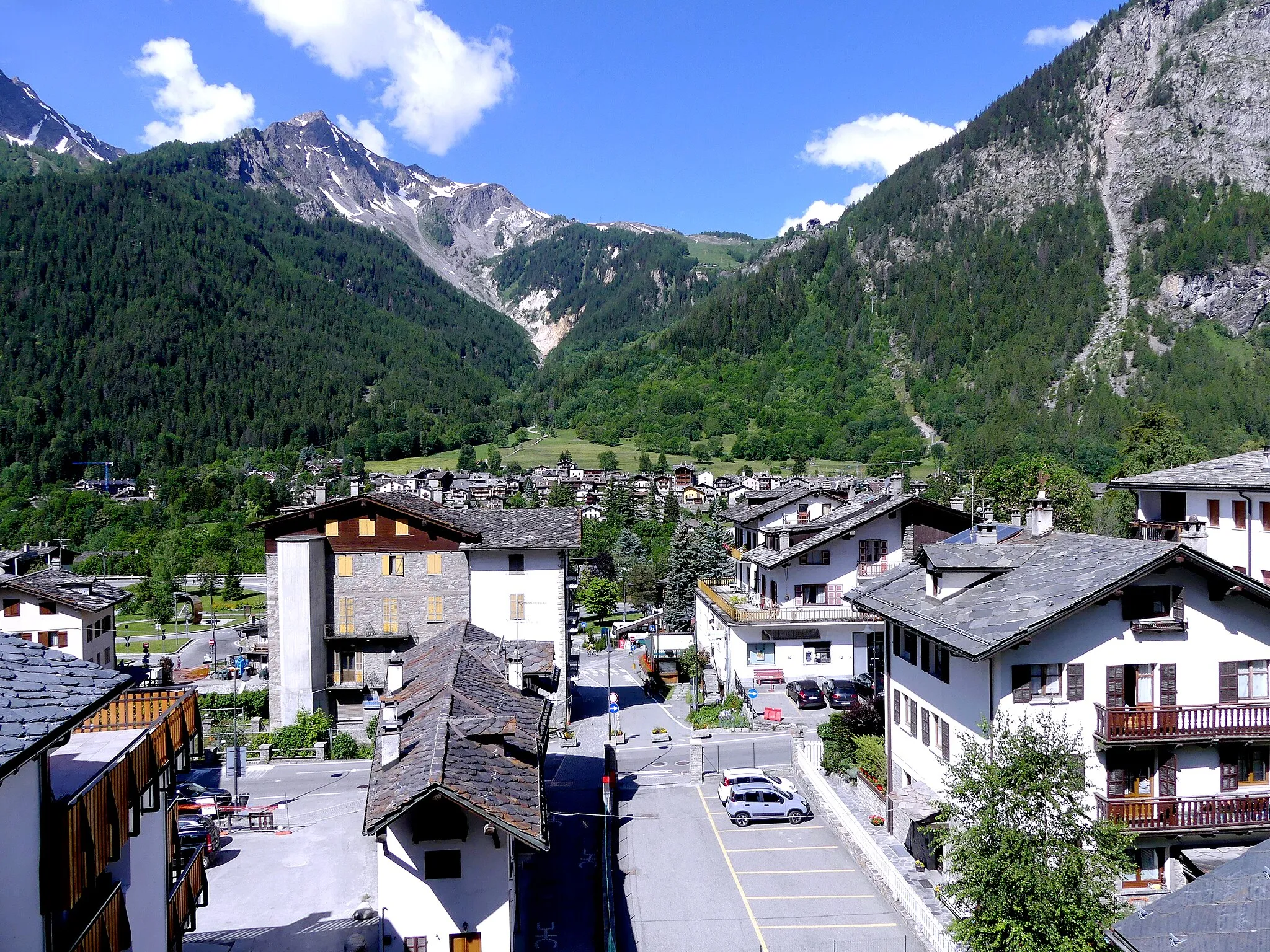
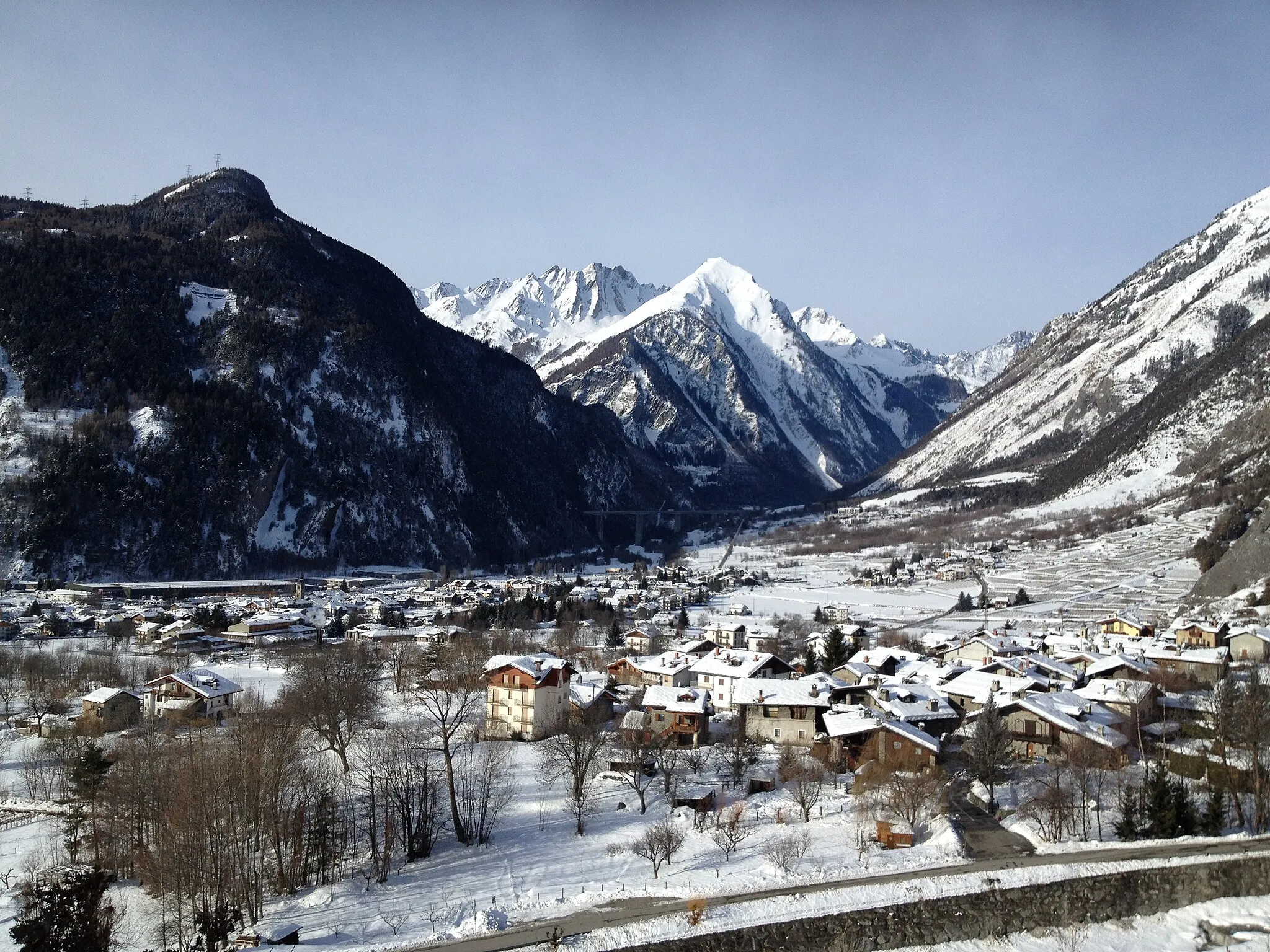
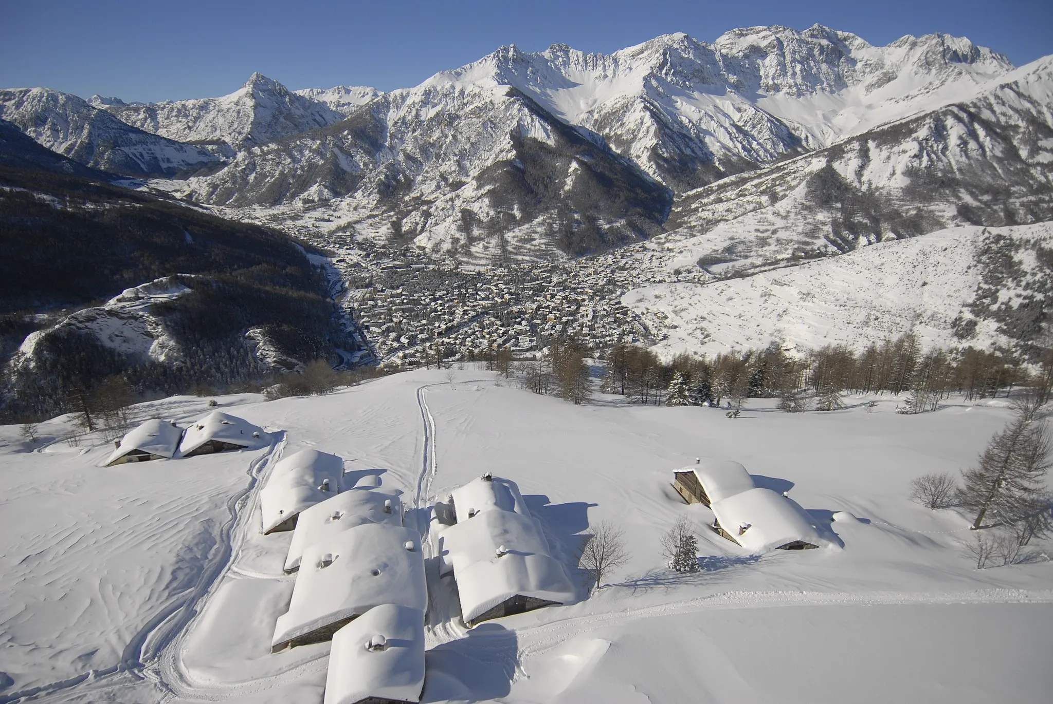
Start: La Côte-d'Aime Village centerAime: Idylliczna lokalizacja dla miłośników jazdy na rowerze.
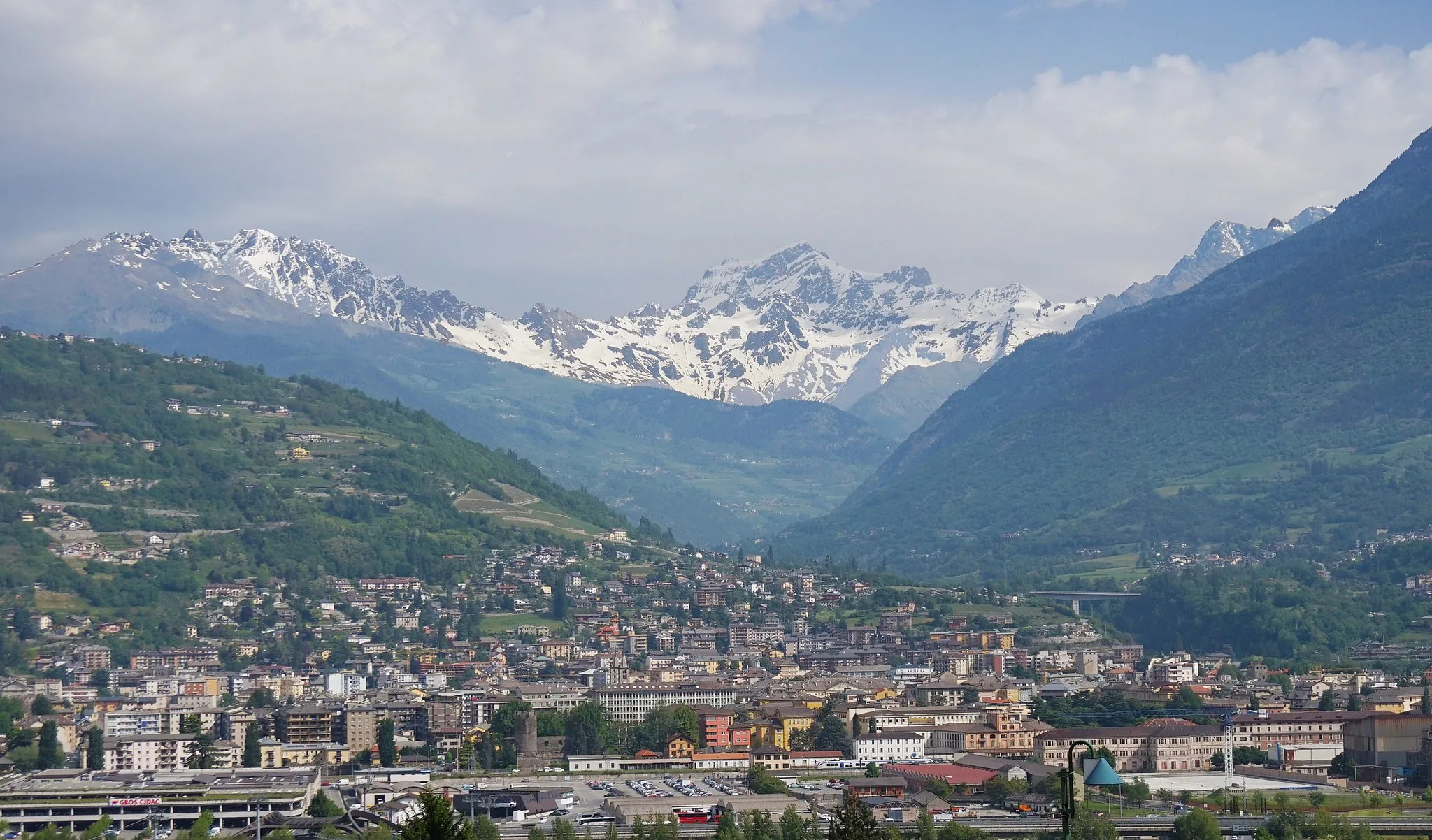
Aime to urokliwe miasteczko w regionie Rhône-Alpes we Francji, z licznych trasami rowerowymi w okolicy. Przyciąga rowerzystów swoim malowniczym krajobrazem i ciekawymi trasami.14 km
14 km
Le Cormet D'Arêche2111 mPrzełęcz górskaZachwycająca przełęcz, którą pokonuje trasa gravelowa.
27 km
27 km
Les ColombièresWioseczkaLes Colombières - urocza miejscowość na trasie.
29 km
29 km
Roche Parstire2108 mSzczytRoche Parstire to kolejny malowniczy punkt trasy gravelowej.
61 km
61 km
Miejsce docelowe: La Côte-d'Aime Village centerAime: Idylliczna lokalizacja dla miłośników jazdy na rowerze.
Trasy rowerowe z Aime:
Trasa Montgirod - Le Cormet D'Arêche Trasa dookoła Aime przez najwyżej położony punkt - Cormet D'Arêche Trasa Aime - Les Chapelles Trasa Aime - Cormet D'Arêche Przejażdżka rowerowa przez Val-d'Isère i Les Chapelles Trasa Aime - Le Cormet D'Arêche - Arêches - Observatoire Hubert Favre - Hauteluce - Col des Saisies - Praz-sur-Arly - Côte de Megeve - Cascade des Thermes - Saint-Gervais-les-Bains - Les Berthelets - Le Sangle - Les Evettes - Col du Méraillet - Cormet de Roselend - Les Chapieux - Bourg-Saint-Maurice - Valezan - Aime Szlak rowerowy z Mâcot-la-Plagne do Aime Trasa Le Cormet D'Arêche - Les Colombières Trasa Aime - Château Montmayeur - Le Martinet - Champagny-en-Vanoise - Friburge - Roc du Diable - Belle Plagne - Aime Trasa gravelowa z startem i metą w Aime Trasa Aime - Saint-Marcel - Cevins - Moûtiers - Aime Trasa Aime - Séez - Redoute Ruinée - Col de la Traversette - Pré-Saint-Didier - Les Places - Fenêtre de Sereina - Chaffieron - Belvedere - La Thuile - Cromlech du Petit-Saint-Bernard - Col du Petit-Saint-Bernard - Bellentre - Aime Trasa przez Dolinę Tarentaise oraz Col de l'Iseran
Trasy rowerowe w okolicy: