Epic Trail: Pozzi del Bagno to Campanile di San Zeno
Trasa rowerowa o rodzaju road rozpoczynająca się w miejscowości Pistoia
Discover breathtaking views from Pozzi del Bagno to Campanile di San Zeno.
Mapa

Embark on a challenging cycling adventure from Pistoia through the beautiful Monte Pozzo del Bagno to the iconic Campanile di San Zeno. The trail offers stunning panoramic views and opportunities to explore hidden gems like Serra dello Zanchetto and Bruscoli. Immerse yourself in the natural beauty of this epic trail!
road
159 km
4044 m
Trudna
Profil trasy
Najważniejsze punkty na trasie
0 km
0 km
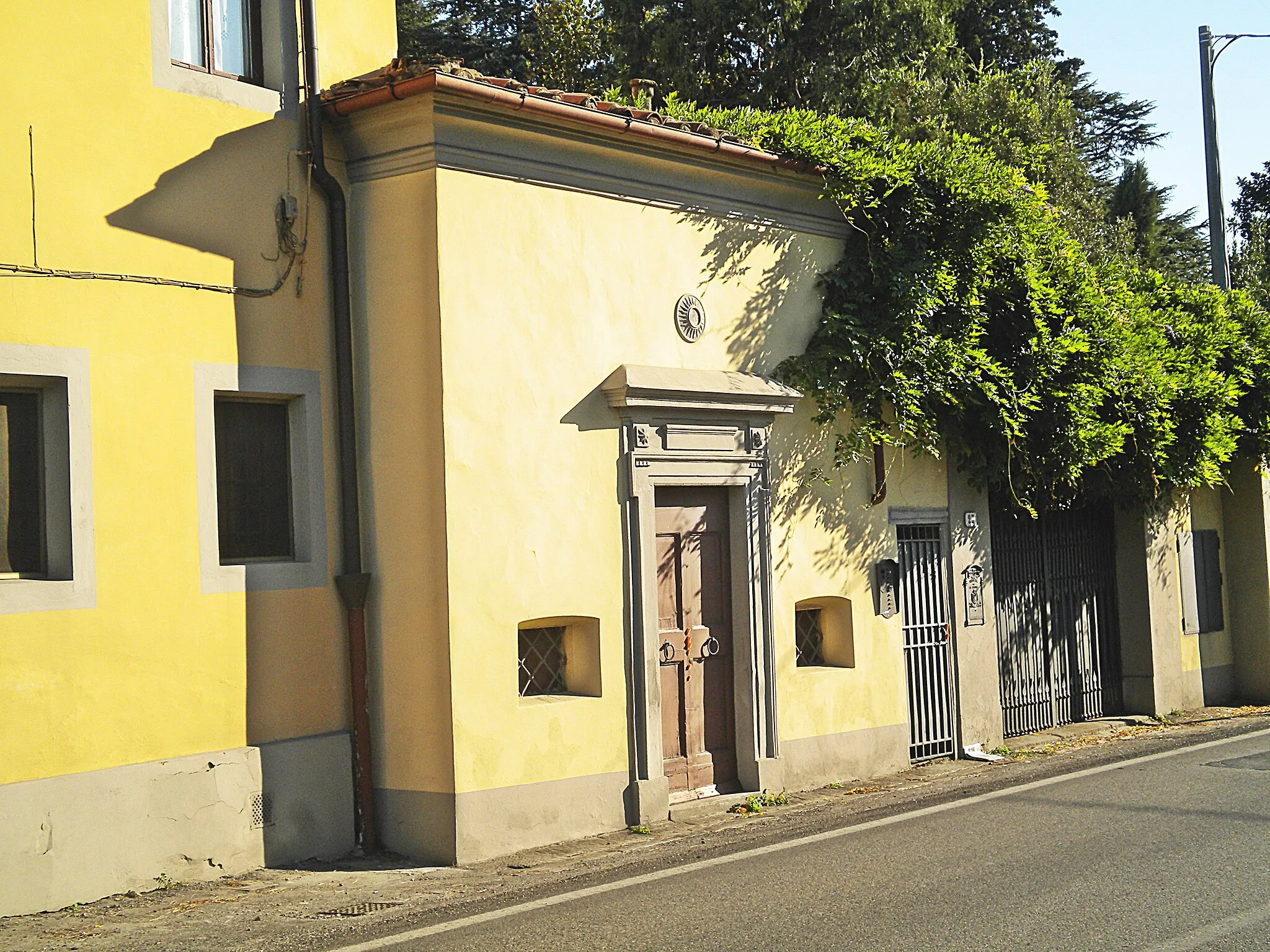
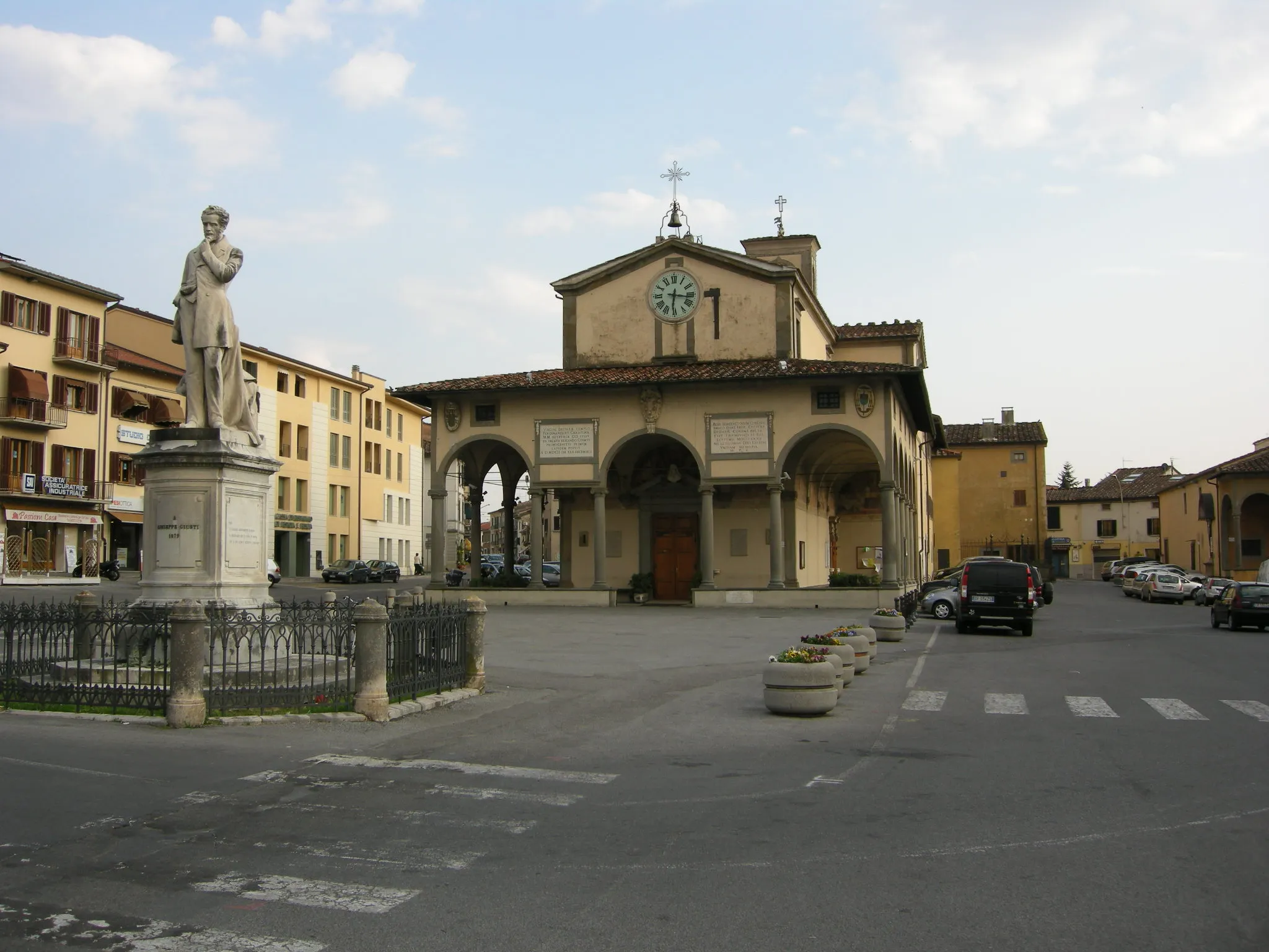
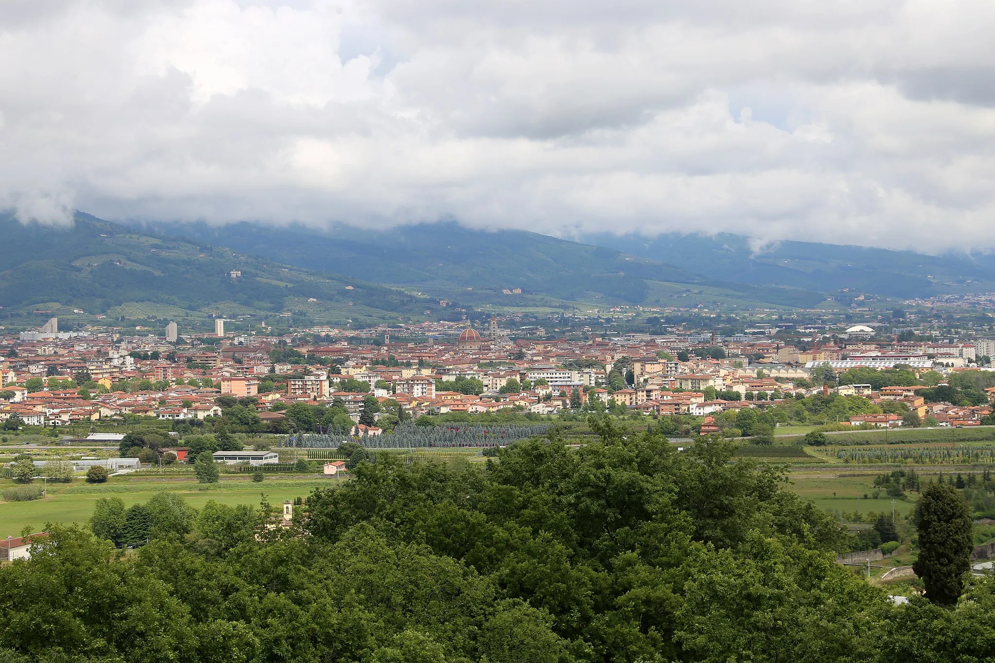
Start: Pistoia City centerPistoia: Urokliwe trasy rowerowe wśród winnic i gajów oliwnych.
Pistoia to lokalizacja położona w Toskanii we Włoszech. Okolica oferuje piękne widoki i malownicze trasy rowerowe. W pobliżu znajdują się znane wąskie drogi wśród winnic i gaje oliwne, idealne dla miłośników jazdy po żwirowych ścieżkach.0 km
0 km
PistoiaMiastoHistorical city with stunning architecture.
15 km
15 km
Monte Pozzo del Bagno1042 mSzczytDramatic mountain peak with scenic vistas.
27 km
27 km
Poggiolo dei Ronchi776 mSzczytRustic village nestled in the hills.
29 km
29 km
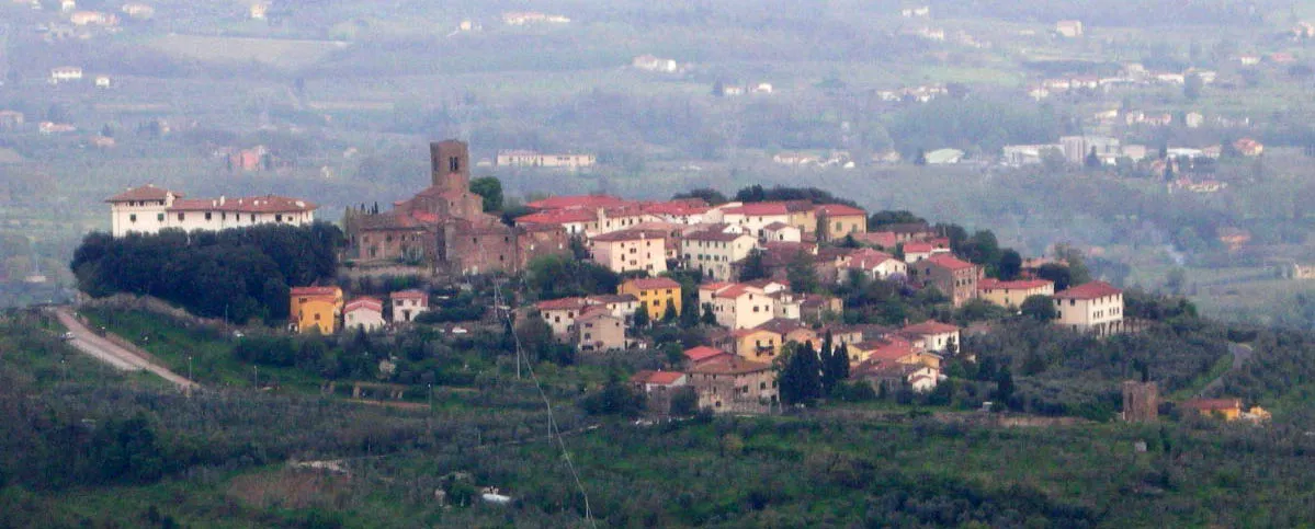
LentulaWioseczkaIdyllic village in a picturesque setting.
45 km
45 km
Serra dello Zanchetto880 mSzczytUnique rock formation offering panoramic views.
61 km
61 km
Pian Del VoglioWioskaTranquil plateau surrounded by nature.
74 km
74 km
Monte dei Cucchi1140 mSzczytMajestic mountain with diverse flora and fauna.
85 km
85 km
BruscoliWioskaCharming hamlet with traditional Italian charm.
91 km
91 km
Passo della Futa903 mPrzełęcz górskaHistoric mountain pass with a rich heritage.
108 km
108 km
Barberino di MugelloMiastoCharming town with local artisanal shops.
114 km
114 km
Poggio delle Prata696 mSzczytScenic hilltop viewpoint overlooking the valley.
129 km
129 km
VaianoMiastoPeaceful village with delightful surroundings.
136 km
136 km
Passo della Collina448 mPrzełęcz górskaPicturesque mountain pass with stunning views.
151 km
151 km
StazioneWioskaCharming railway station with historical significance.
159 km
159 km
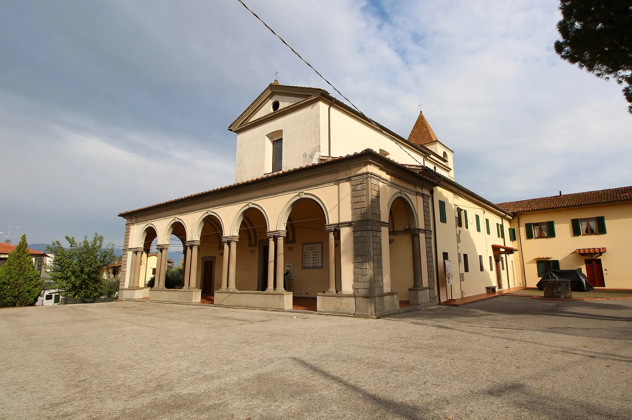
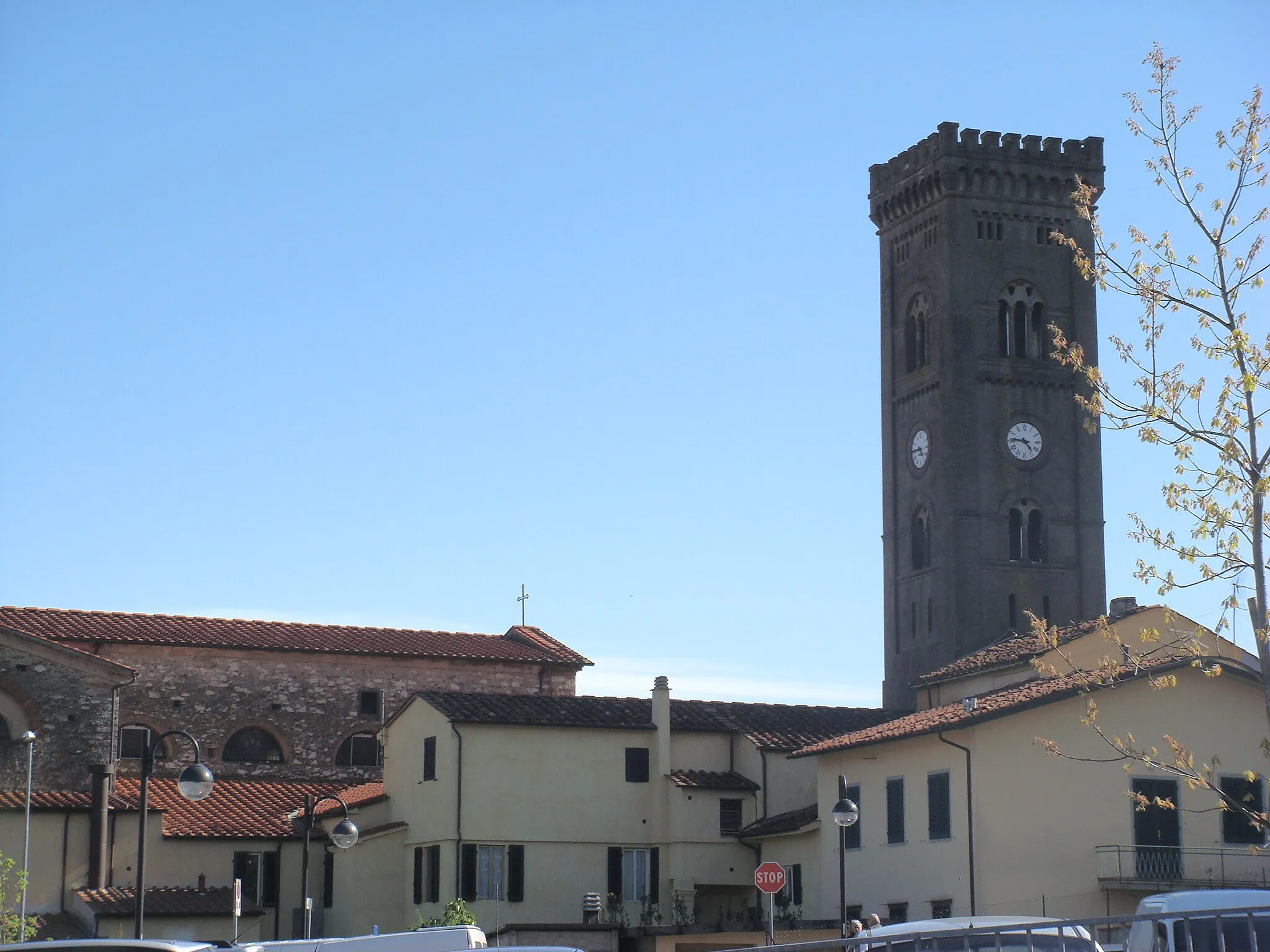
Campanile di San ZenoAtrakcjaIconic bell tower offering breathtaking views of the countryside.
159 km
159 km
Miejsce docelowe: Pistoia City centerPistoia: Urokliwe trasy rowerowe wśród winnic i gajów oliwnych.
Trasy rowerowe z Pistoia:
Zakręcona droga przez toskańskie wzgórza Wyjątkowa podróż rowerowa przez góry Toskanii Malownicza przejażdżka rowerem przez Toskanię Gravel Adventure: Popiglio to Capostrada Włoska przygoda gravelowa przez góry Trasa przez Monte della Madonna i San Cassiano Przygoda gravelowa w otoczeniu natury toskańskiej Wędrówka na Bergrück Blick Trasa przez Poggio Ripa i Lentula Epic Trail: Pozzi del Bagno to Campanile di San Zeno Szlak Wzgórz Valcapratica
Trasy rowerowe w okolicy: