Trasa Road Col de Moi
Trasa rowerowa o rodzaju road rozpoczynająca się w miejscowości Mel
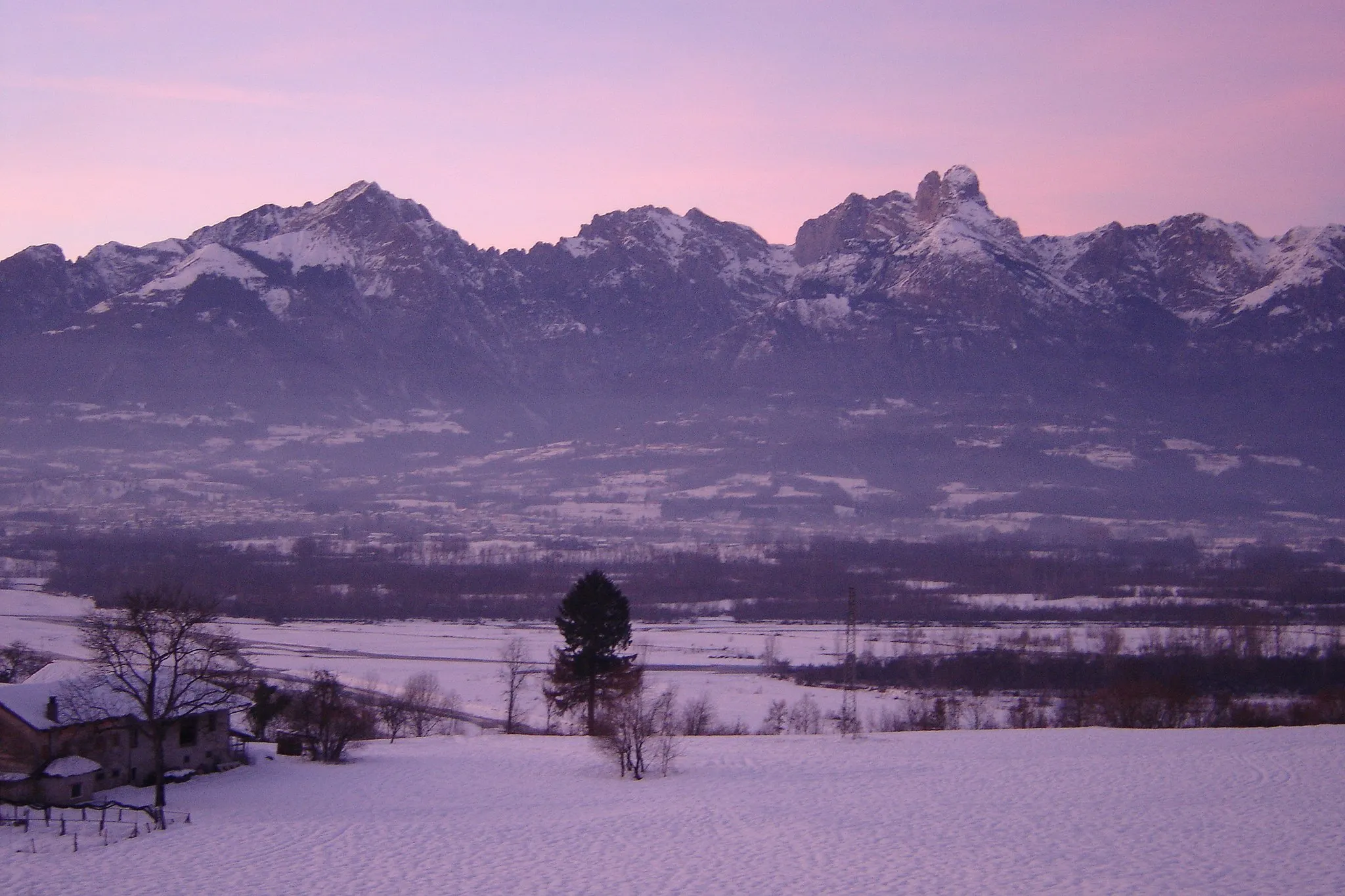
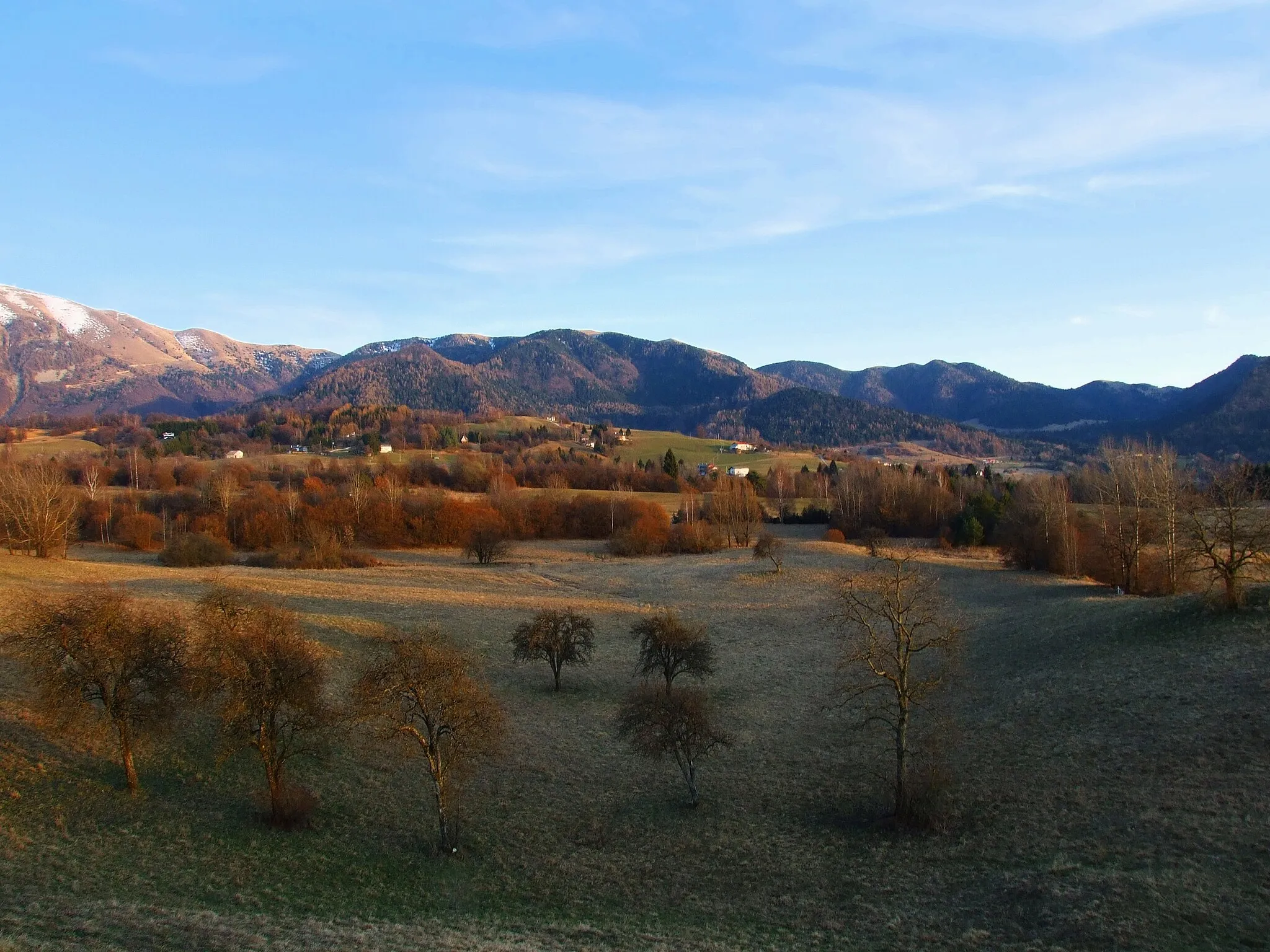
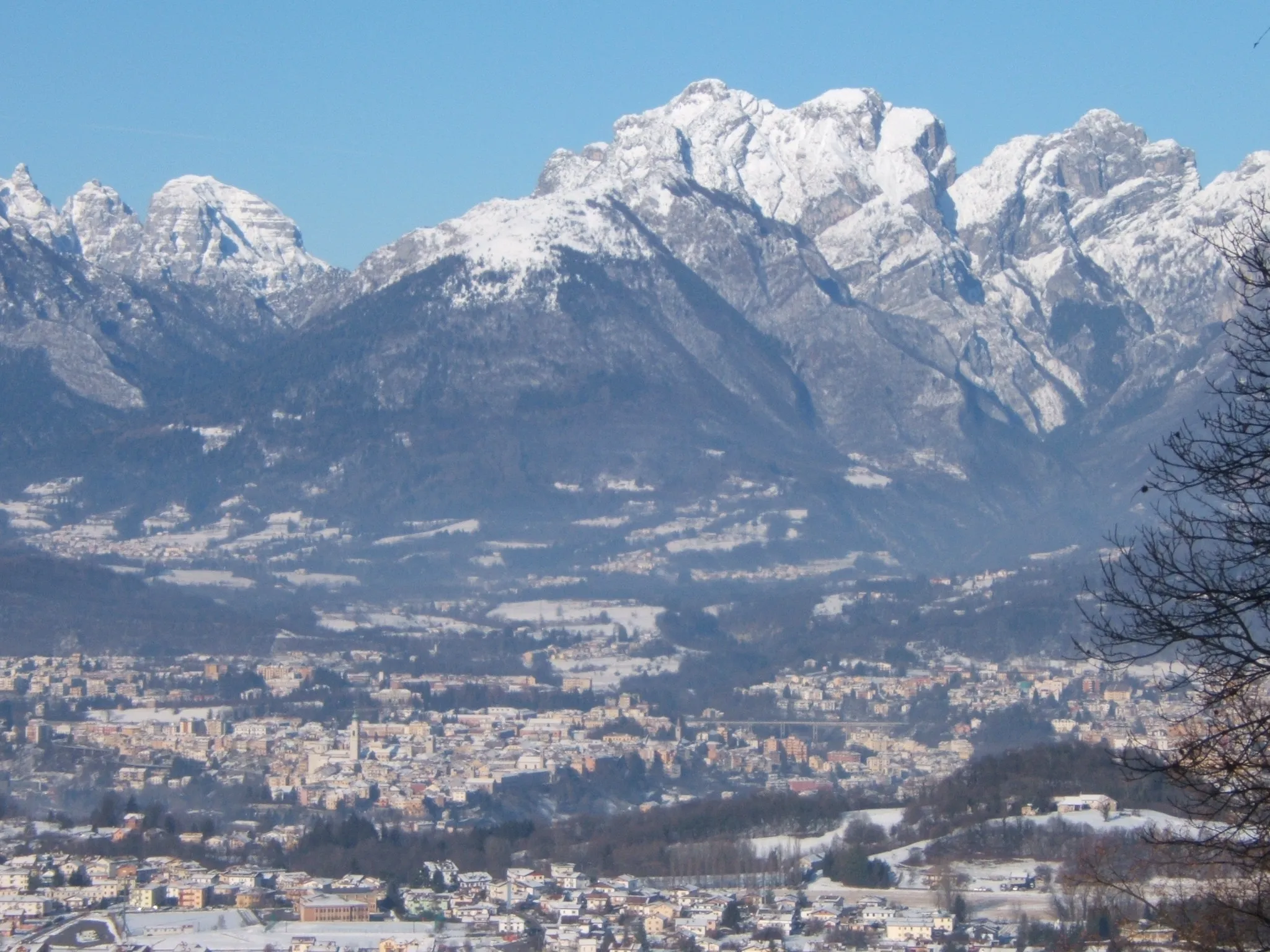
Wspaniała trasa wśród górskich krajobrazów
Mapa
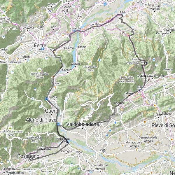
Trasa o długości 93 km prowadzi przez malownicze tereny Veneto, z wspinaczką na 1690 m. Podczas jazdy z Col de Moi do Mel, mijając takie miejsca jak Miane czy Pederobba, możesz cieszyć się pięknymi widokami i przyrodą. Zakończenie trasy w Mel to idealna okazja na relaks po intensywnej jeździe.
road
93 km
1690 m
Trudna
Profil trasy
Najważniejsze punkty na trasie
0 km
0 km
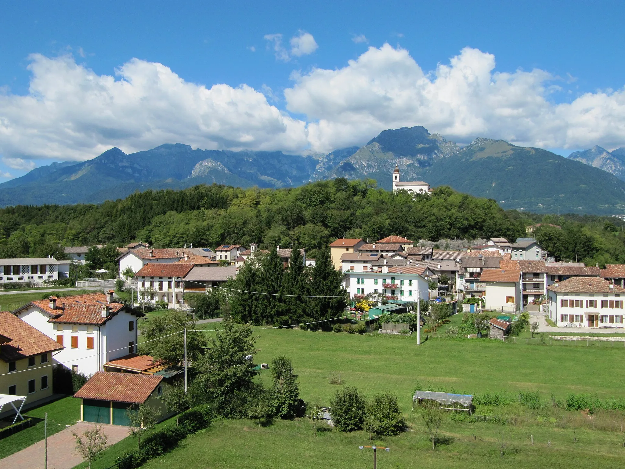
Start: Mel Village centerMel: Tranquil town with access to challenging climb Passo Cereda.
Mel is a quaint town located in the Veneto region of Italy, known for its peaceful atmosphere and cycling-friendly environment. Cyclists can explore the surrounding area on well-maintained roads and gravel paths, enjoying views of the lush countryside and nearby mountains. Mel is close to the challenging climb of Passo Cereda, a favorite among cycling enthusiasts for its steep gradients and stunning vistas. With its serene setting and diverse cycling routes, Mel is a great destination for cyclists looking to escape the hustle and bustle of urban life.11 km
11 km
Col de Moi1358 mSzczytCol de Moi to imponujący punkt na trasie, który warto odwiedzić.
22 km
22 km
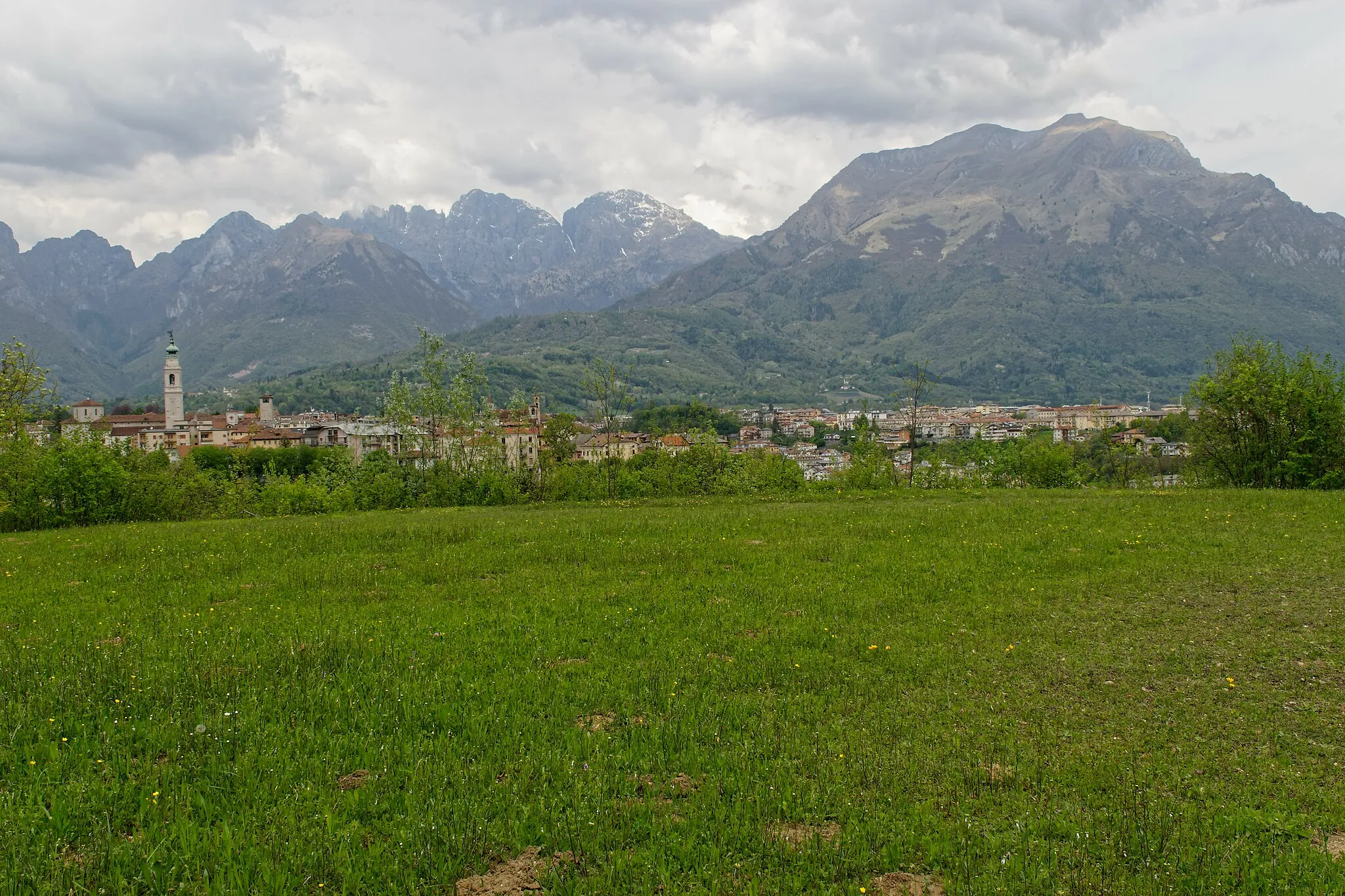
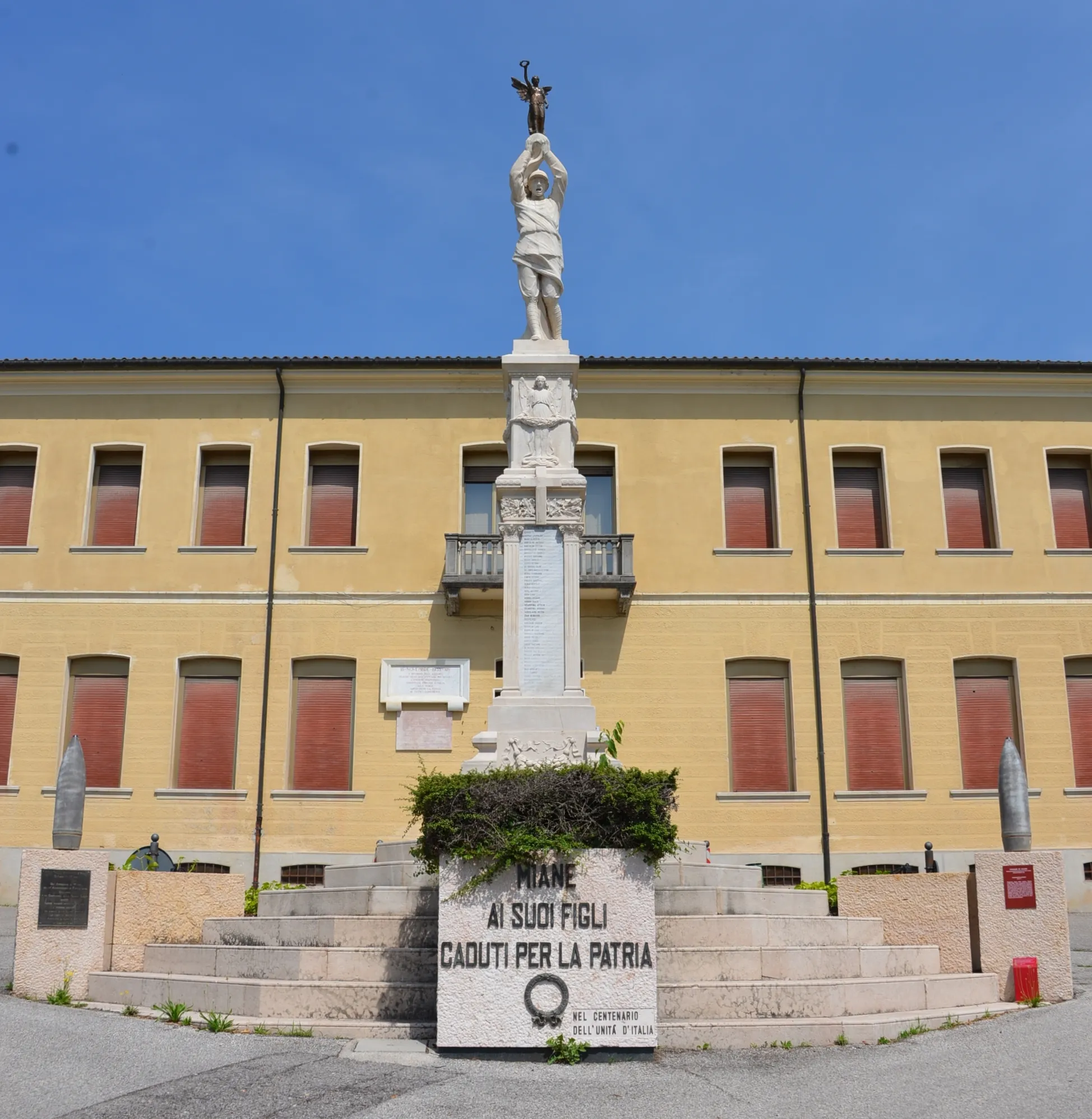
MianeWioskaMiane to malownicza miejscowość, która zachwyca swoim urokiem.
44 km
44 km
PederobbaWioskaPederobba to urokliwe miasteczko, które warto zobaczyć podczas jazdy.
51 km
51 km
PossagnoMiastoPossagno to interesujące miejsce, które warto odwiedzić podczas trasy.
62 km
62 km
Monte la Castella536 mSzczytMonte la Castella to imponujący szczyt, który zapiera dech w piersiach.
77 km
77 km
La Rocchetta435 mSzczytLa Rocchetta to punkt na trasie, który zachwyca widokiem i atmosferą.
82 km
82 km
NemeggioWioskaNemeggio to urocza miejscowość, idealna na zakończenie trasy i relaks.
93 km
93 km
MelWioskaPo intensywnej jeździe czeka Cię relaksujące zakończenie trasy w miejscowości Mel.
93 km
93 km
Miejsce docelowe: Mel Village centerMel: Tranquil town with access to challenging climb Passo Cereda.
Trasy rowerowe z Mel:
Roadtrip przez Conegliano i Miane Trasa Road Col de Moi Trasa Gravel Forcella della Fede Trasa Road Sospirolo Przygoda na Monte Prenduol i Monte Crep Trasa Gravel Villa di Villa Trasa na Monte Cor i Passo San Boldo Trasa Road Col de Moi Poznaj Monte Zogo i Col Moscher Wyprawa na Passo Duran i Belluno Trasa wokół Mel
Trasy rowerowe w okolicy: