Trasa rowerowa Gravel - 68 km
Trasa rowerowa o rodzaju gravel rozpoczynająca się w miejscowości El Puerto de Santa Maria
Zwiedź Sierra de San Cristóbal i Castillo del Berroquejo w trakcie 68-kilometrowej trasy rowerowej.
Mapa
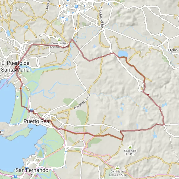
Trasa gravelowa o długości 68 km prowadzi przez imponujące Sierra de San Cristóbal i zamek Castillo del Berroquejo. W trakcie podróży można zobaczyć uroczą wioskę Puerto Real oraz punkty widokowe, takie jak El Portal czy El Mirado.
gravel
68 km
343 m
Relaks
Profil trasy
Najważniejsze punkty na trasie
0 km
0 km
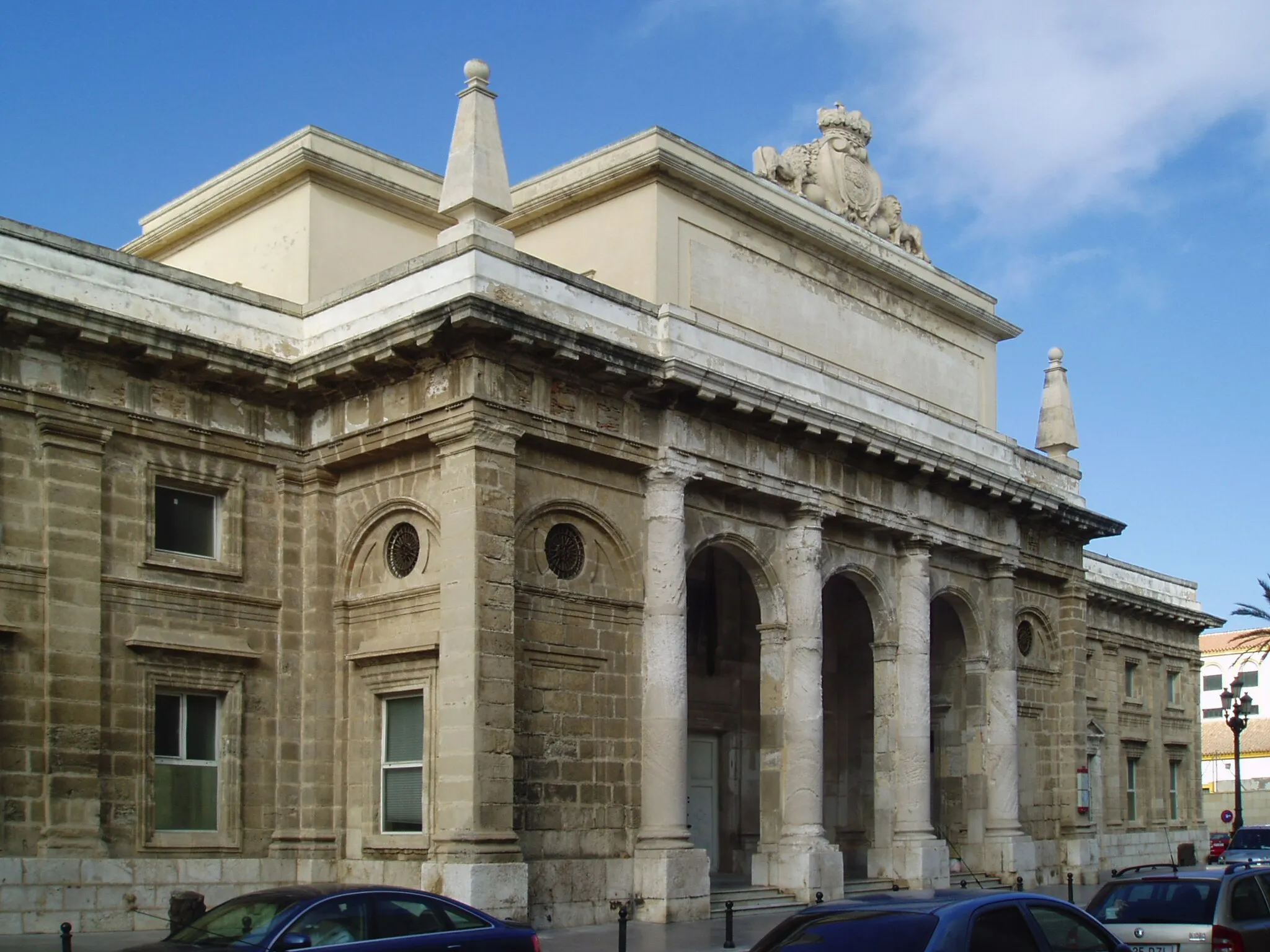
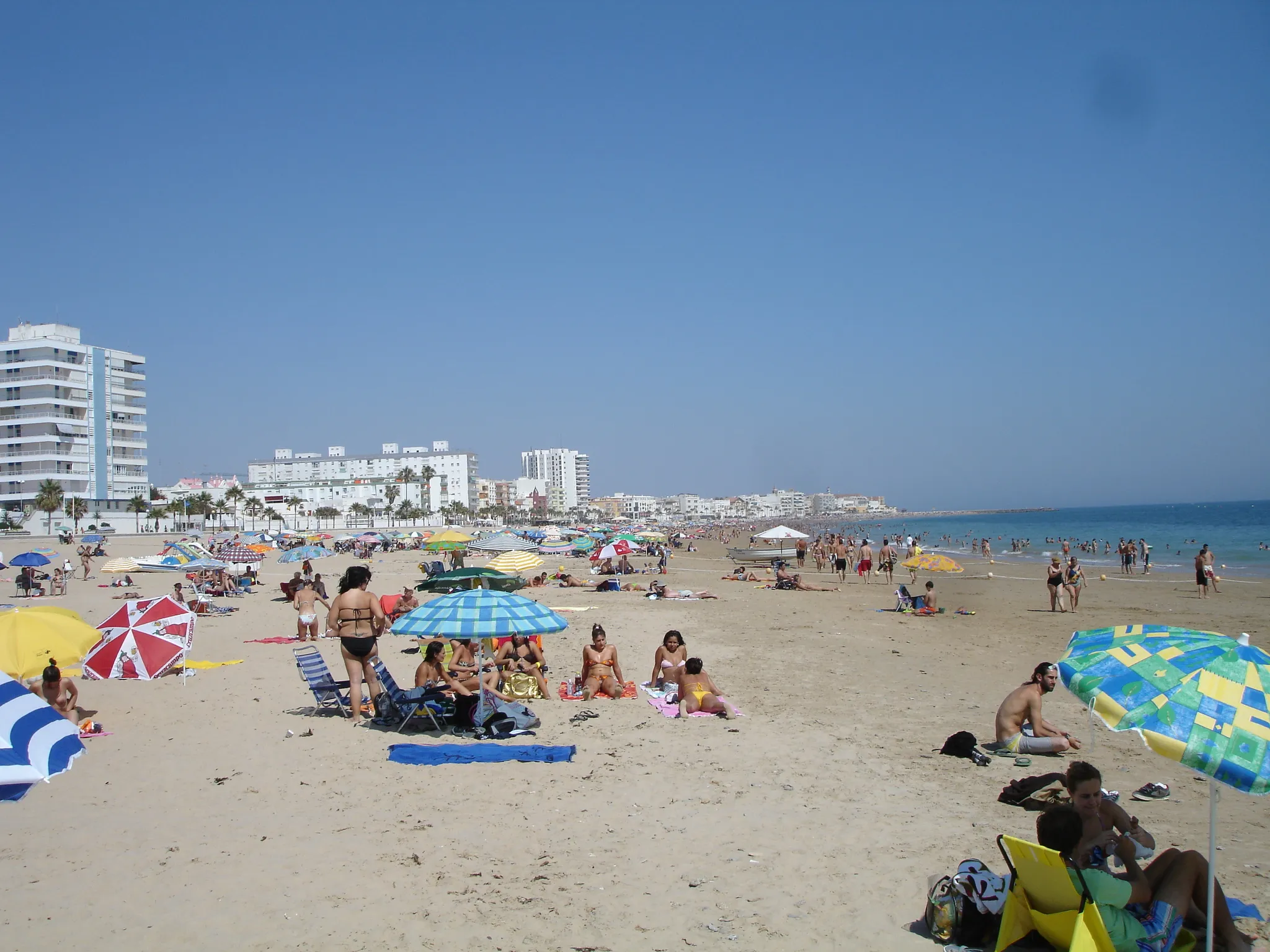
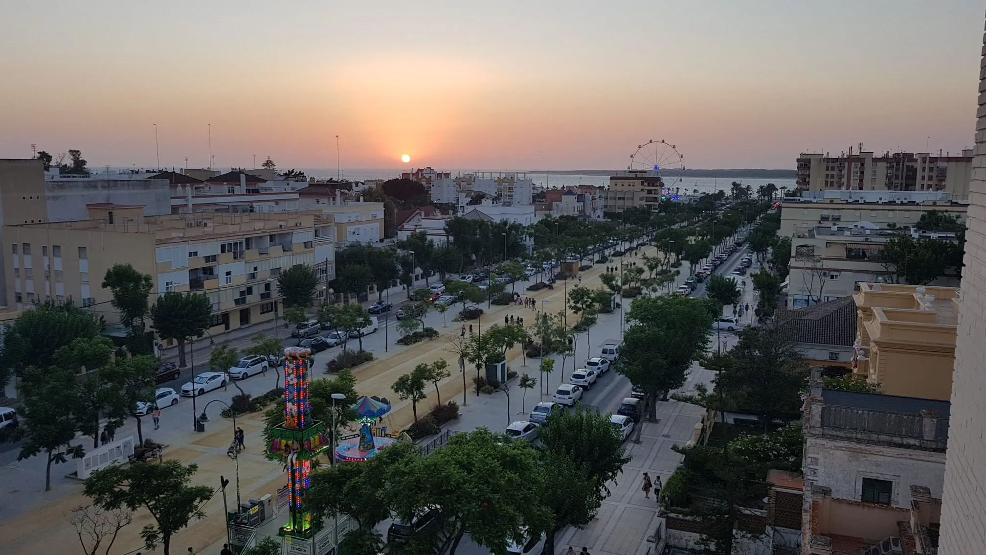
Start: El Puerto de Santa María City centerEl Puerto de Santa María: Coastal and mountain cycling routes in Andalucía.
El Puerto de Santa María is a coastal town in Andalucía, Spain, with a mix of beachfront roads and inland trails that cater to road and gravel cyclists. Cyclists can enjoy long rides along the coast or tackle challenging climbs in the nearby mountains. The town is a popular destination for cycling enthusiasts looking to explore the diverse landscapes of Andalucía.8 km
8 km
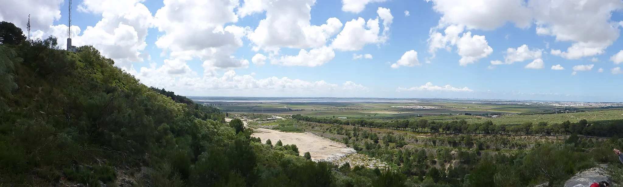
Sierra de San Cristóbal121 mSzczytExplore the stunning Sierra de San Cristóbal on this gravel route.
11 km
11 km
El PortalPrzedmieściePass by the impressive El Portal during your 68 km journey.
19 km
19 km
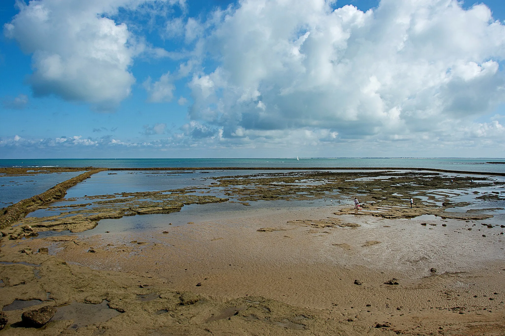
Observatorio de AvesWidokVisit Observatorio de Aves and enjoy the bird watching experience.
33 km
33 km
Castillo del BerroquejoZamekAdmire the historic Castillo del Berroquejo along the route.
54 km
54 km
Cerro de Ceuta53 mSzczytClimb the Cerro de Ceuta for panoramic views of the surroundings.
56 km
56 km
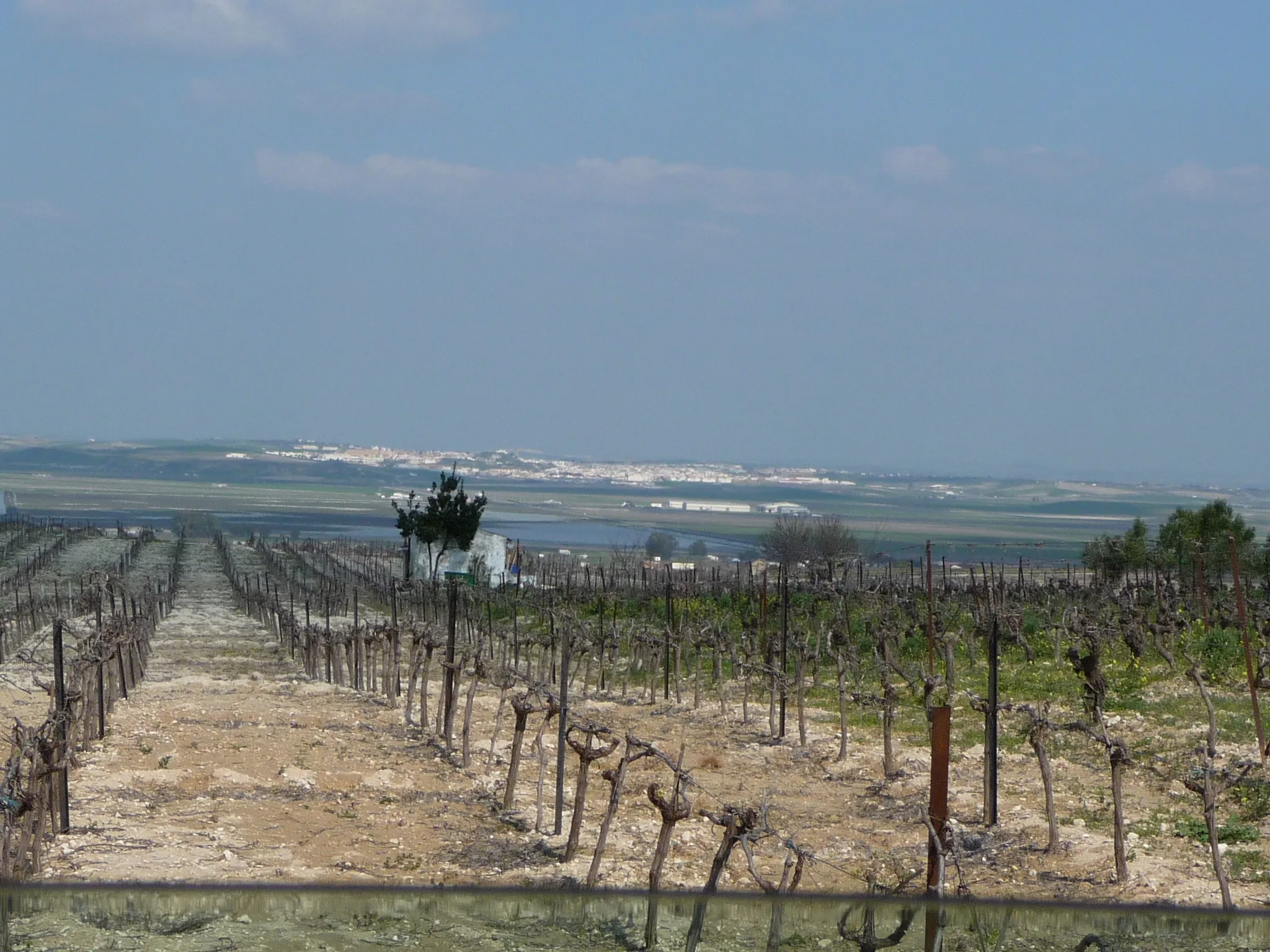
Puerto RealMiastoDiscover the charming town of Puerto Real during your ride.
62 km
62 km
El MiradoWidokStop at El Mirado and enjoy the stunning views over the area.
67 km
67 km
Palacio de AraníbarAtrakcjaPass by the beautiful Palacio de Araníbar on your cycling adventure.
68 km
68 km
Miejsce docelowe: El Puerto de Santa María City centerEl Puerto de Santa María: Coastal and mountain cycling routes in Andalucía.
Trasy rowerowe z El Puerto de Santa Maria:
Trasa rowerowa Road - 134 km Trasa rowerowa Gravel - 70 km Wycieczka rowerowa przez La Algaida Trasa szosowa z Obserwatorium Aves Trasa rowerowa Gravel - 68 km Trasa rowerowa Road - 103 km Trasa rowerowa Road - 120 km Wycieczka szlakiem Mirador de La Algaida Jazda off-road z Los Albarizones Trasa rowerowa przez Sierra de San Cristóbal
Trasy rowerowe w okolicy: