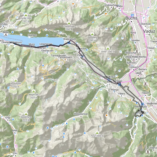
Trasa Bad Ragaz - Guschachopf - Burg Freudenberg - St. Georgen - Walensee - Schnittlauchinsel - Walenstadt - Tierget - Bad Ragaz
Trasa rowerowa o rodzaju road rozpoczynająca się w miejscowości Bad Ragaz
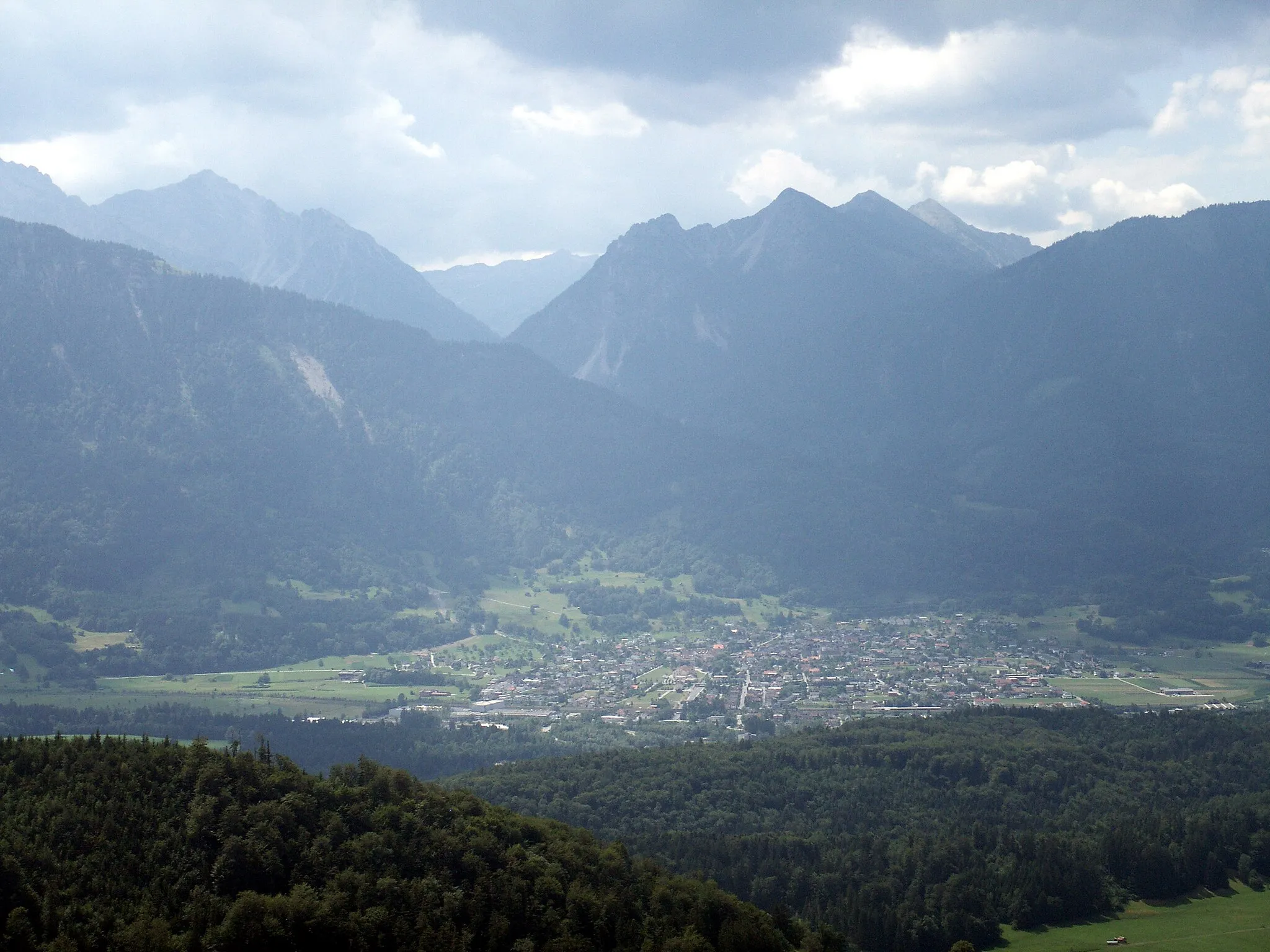
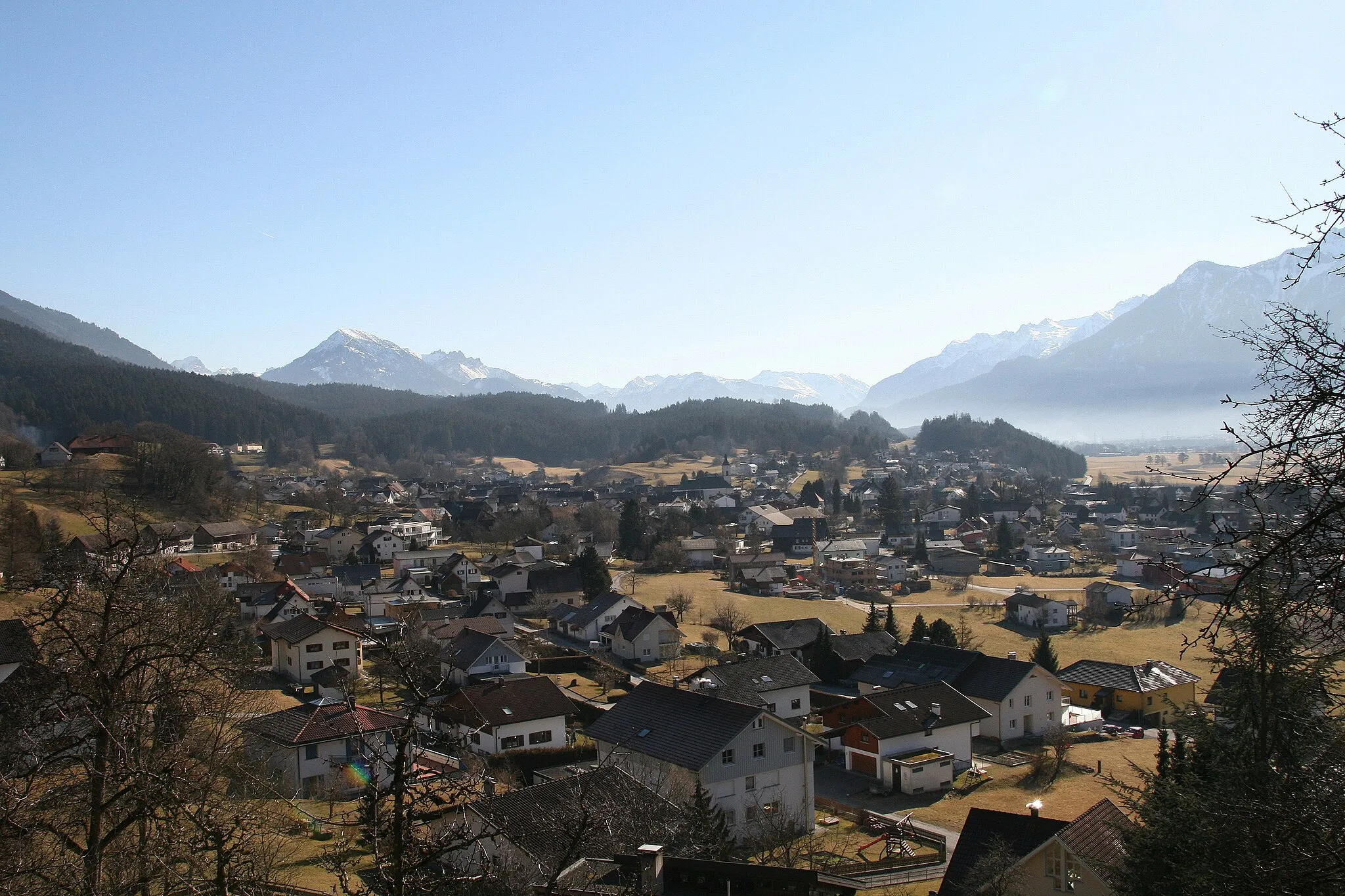
Scenic road route passing through charming towns and offering spectacular lake views
Mapa
Enjoy a journey full of breathtaking vistas and historical sites while cycling through the beautiful countryside of Ostschweiz. This route combines diverse landscapes, cultural attractions, and opportunities for outdoor activities.
road
78 km
827 m
Trudna
Profil trasy
Najważniejsze punkty na trasie
0 km
0 km
Start: Pfäfers Village centerBad Ragaz: Miejsce idealne dla aktywnego wypoczynku na rowerze.
Bad Ragaz to popularny kurort w regionie Ostschweiz w Szwajcarii. Dla miłośników jazdy na rowerze zarówno po szosach, jak i szutrach, oferuje wiele tras o różnym stopniu trudności. W okolicy można znaleźć także znane podjazdy przyciągające do siebie kolarzy ze wszystkich stron świata.3 km
3 km
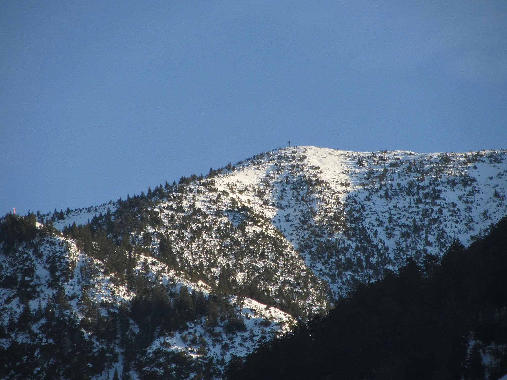
Guschachopf747 mPunkt widokowy na szczycieGuschachopf - scenic viewpoint overlooking the valley.
6 km
6 km
Burg FreudenbergZamekBurg Freudenberg - historical castle ruins with panoramic views.
22 km
22 km
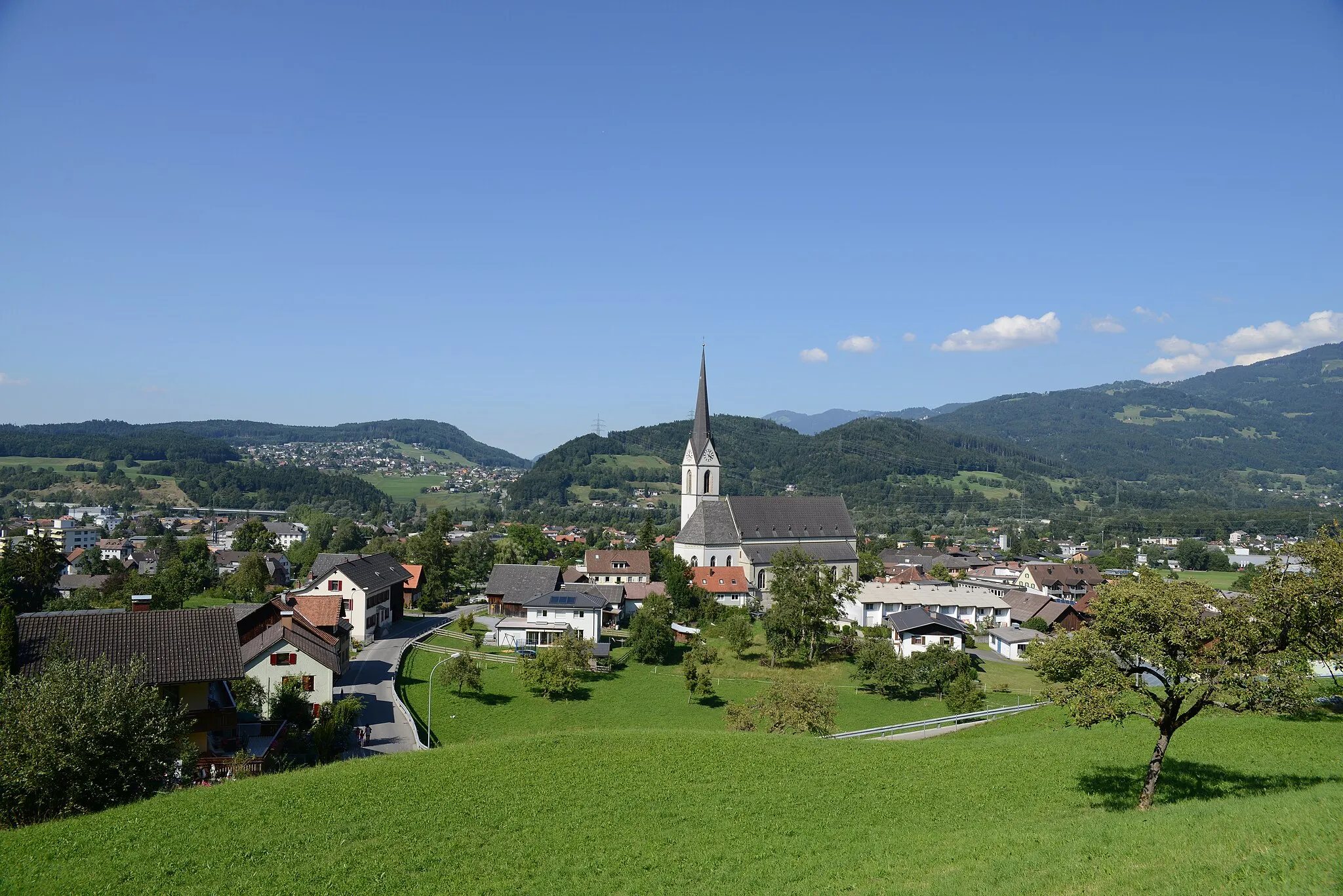
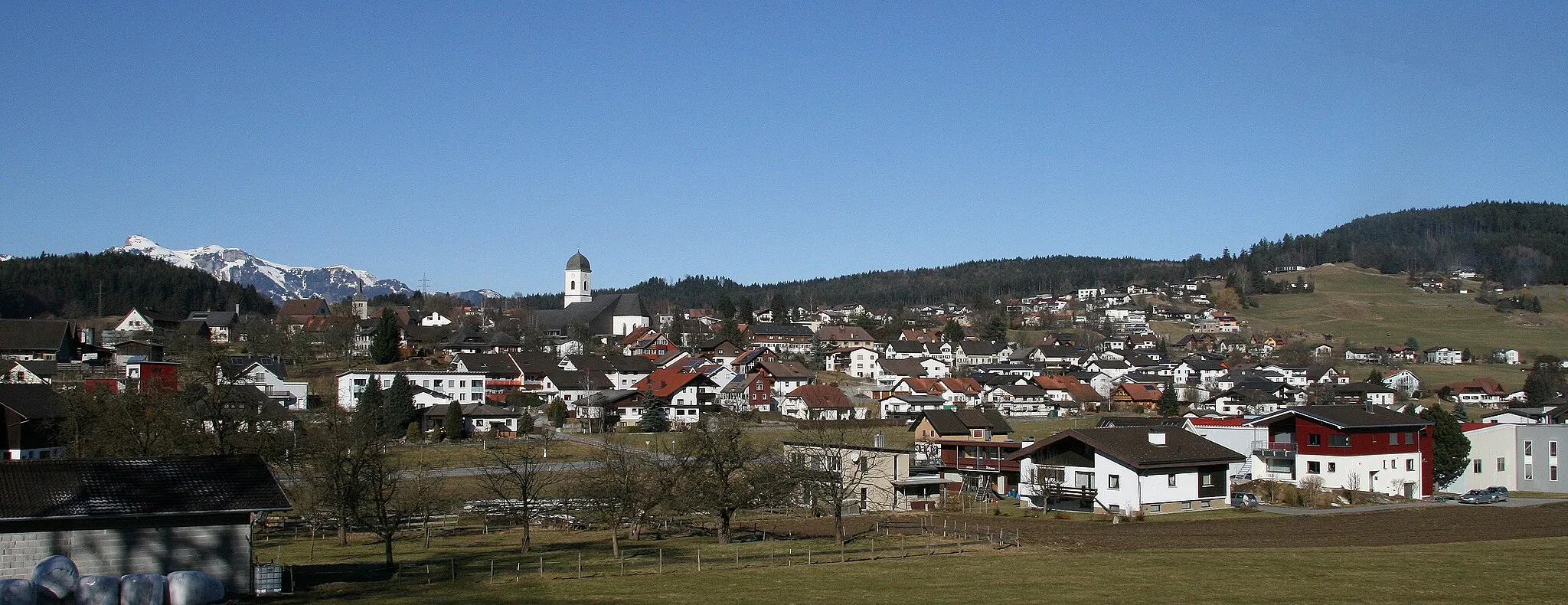
St. Georgen589 mSzczytSt. Georgen - picturesque village with traditional Swiss architecture.
27 km
27 km
SchnittlauchinselWyspaSchnittlauchinsel - island known for its relaxing atmosphere and scenic beauty.
38 km
38 km
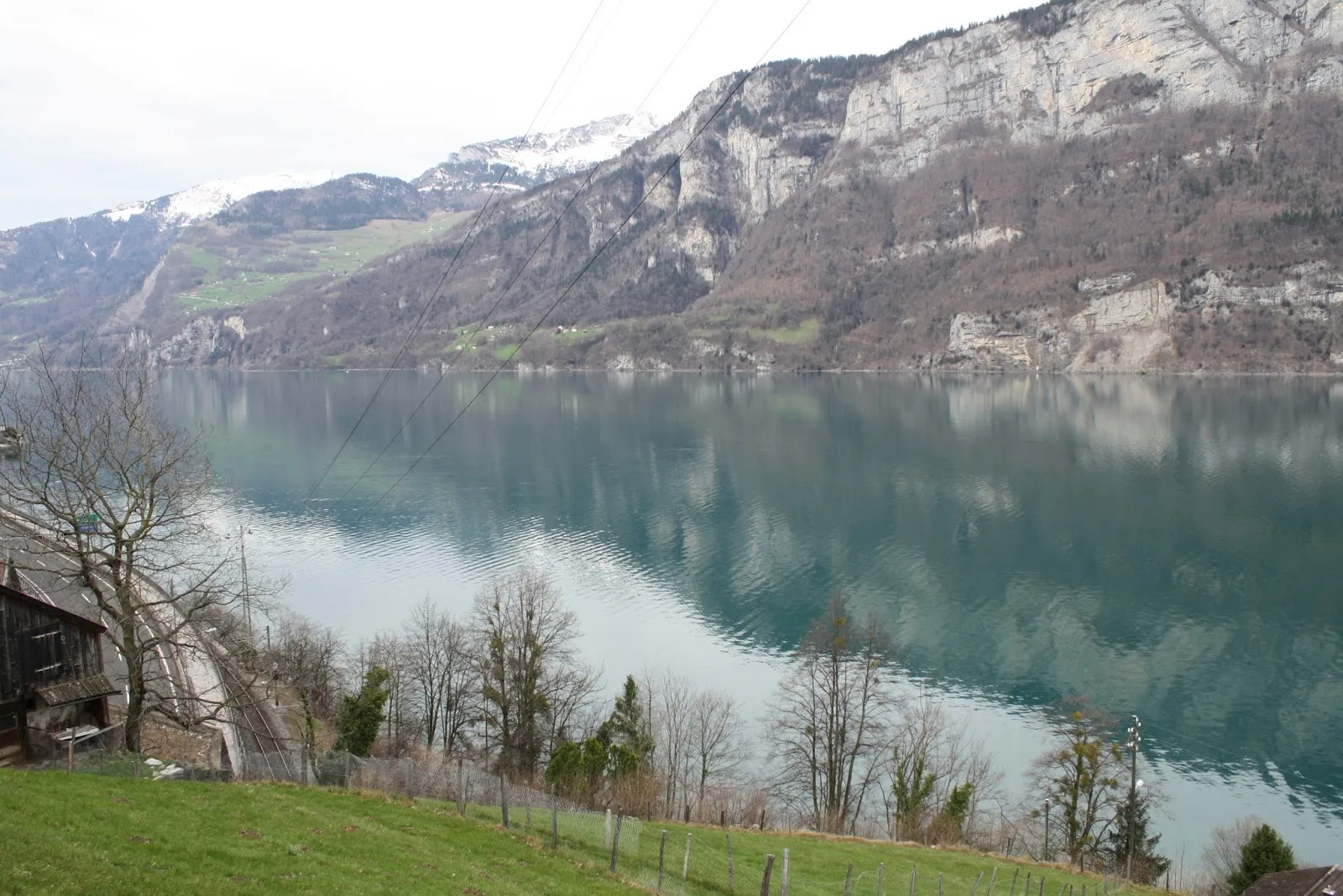
WalenseeJezioroWalensee - stunning lake with opportunities for water sports and recreation.
50 km
50 km
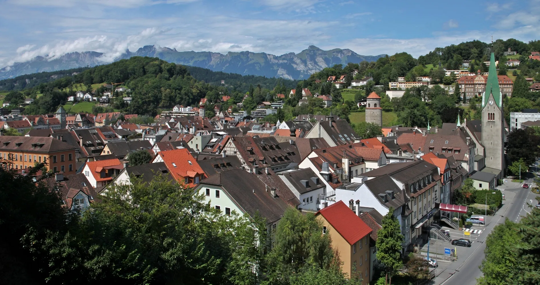
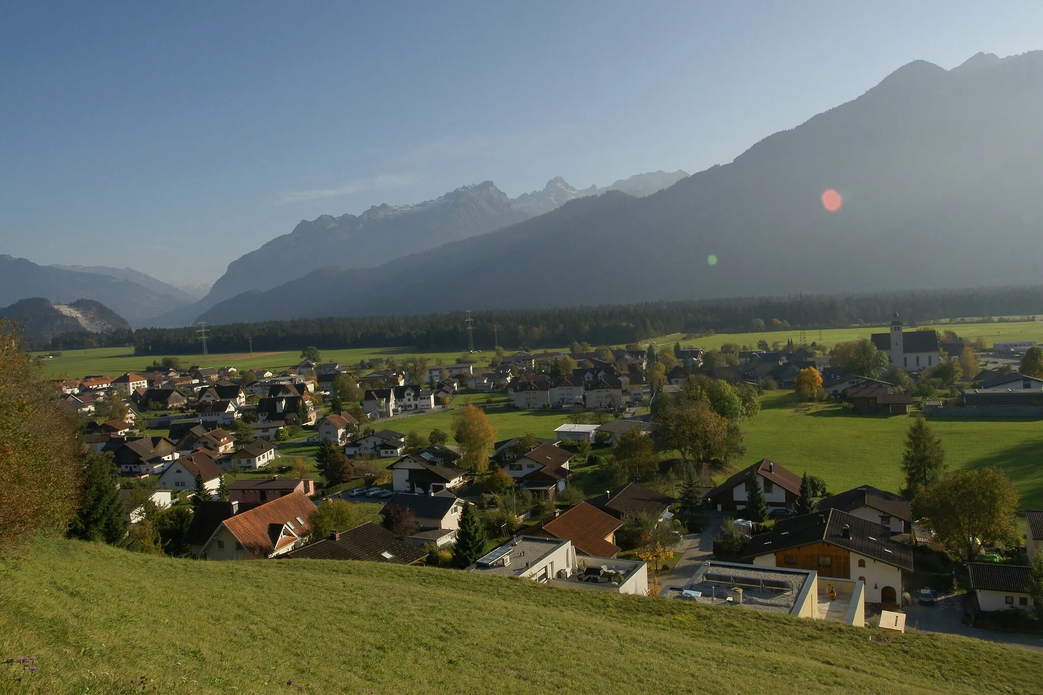
WalenstadtWioskaWalenstadt - charming town with historical buildings and cultural sites.
60 km
60 km
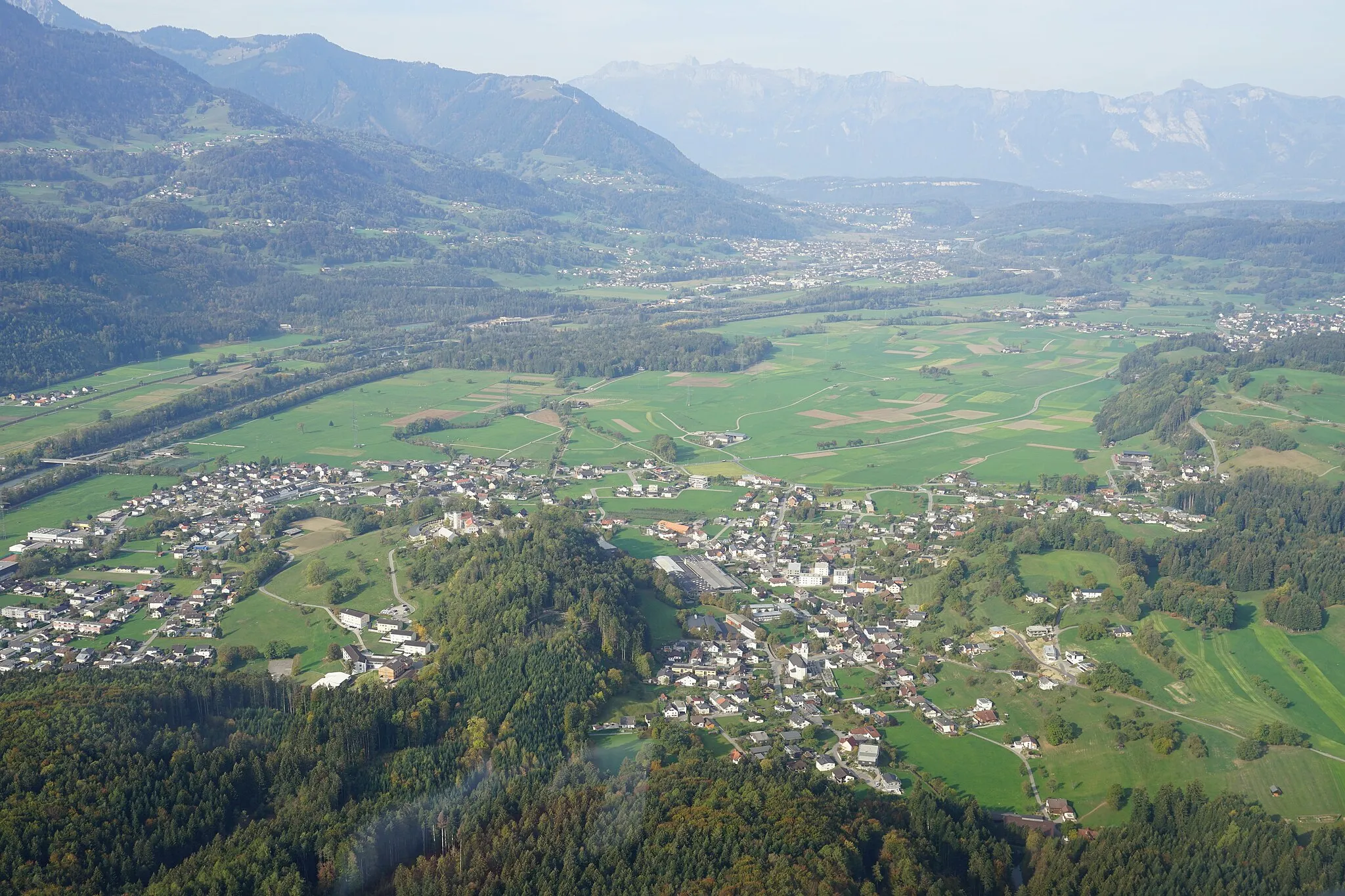
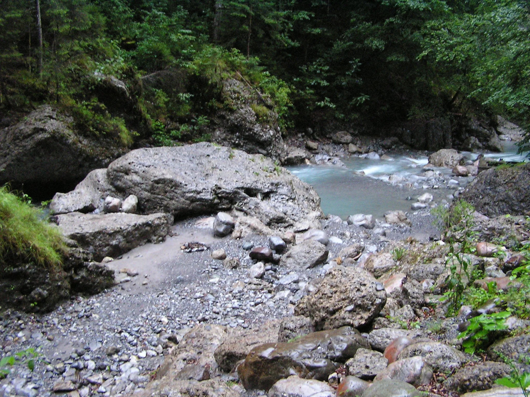
Tierget510 mSzczytTierget - nature reserve with diverse flora and fauna.
74 km
74 km
Bad RagazWioskaBad Ragaz - spa town famous for its thermal baths and wellness tourism.
78 km
78 km
Miejsce docelowe: Pfäfers Village centerBad Ragaz: Miejsce idealne dla aktywnego wypoczynku na rowerze.
Trasy rowerowe z Bad Ragaz:
Trasa Szlakiem Gravelu w pobliżu Bad Ragaz Droga przez zamki i fort Pitoreskowa trasa szosowa Trasa Bad Ragaz - Maienfeld - Crupspitz - Seewis im Prättigau - Mastrils - Tabor Szlak zamków i ruin Trasa Bad Ragaz - Sankt Luzisteig - Grabs - Trübbach - Ellhorn Trasa Bad Ragaz - Guschachopf - Burg Freudenberg - St. Georgen - Walensee - Schnittlauchinsel - Walenstadt - Tierget - Bad Ragaz Nad rzeką Touristy Trasa Bad Ragaz - Sankt Luzisteig - Balzers - Chrüppel - Steg - Triesen - Scheibenboden - Fläsch Trasa Bad Ragaz - Tabor - Mastrils - Araschgen - Chur - Maienfeld
Trasy rowerowe w okolicy: